Hiking to Rose Peak from Del Valle Regional Park
Sailor Camp Trail
Challenging
19.5 mi
Out-and-back
19.5 mi
31.4 km
Distance
5,000 ft
1,524 m
Gain
7-10 hours
Est. time
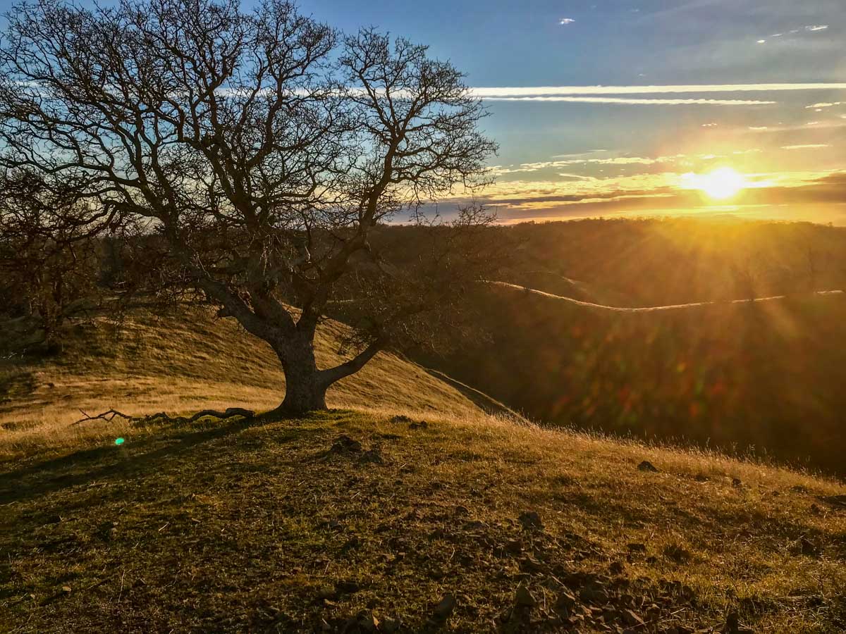
Rose Peak. The name evokes thoughts of gentle beauty. But this Rose is guarded not by thorns, but by a relentless series of climbs and descents. In total, nearly 20 miles for the round trip, and 5,000 vertical feet. This is one tough hike.
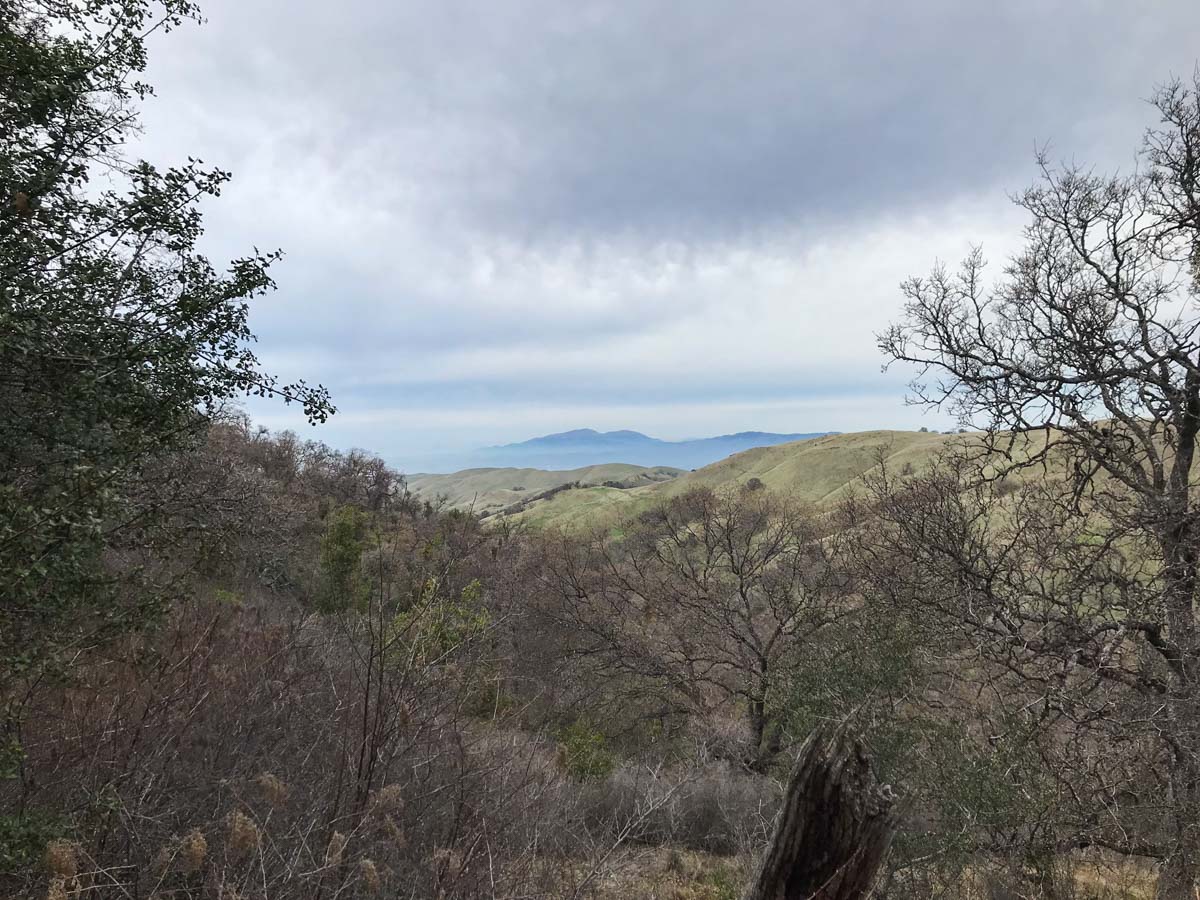
This out-and-back route can be hiked as a long day hike, or as an overnight backpacking trip. It begins and ends at Del Valle Regional Park on the outskirts of Livermore. The terrain consists of green, rolling hills spotted with the occasional grazing cow.
Getting to the Trailhead
From Livermore, head south on North Livermore Avenue. This becomes Tesla Road outside of Livermore. Turn right at Mines Road, then continue straight onto Del Valle Road, following it all the way to the park entrance. There is a vehicle entry fee, and (if camping overnight) daily campground fee.
We camped overnight at Del Valle, and started on the Vallecitos Trail. Here’s the location of our trailhead on Google Maps. If you’re hiking this as a day hike, park near the Rocky Ridge Visitor Center and start on the Sailor Camp Trail.
You’ll also need an Ohlone Wilderness Regional Trail Permit for each person in your party. They must possess and carry the permit, which actually doubles as a detailed map and is good for one year. You can get a permit at the Del Valle Regional Park, but your best bet is to order it in advance online. Backpacking permits are not available at Del Valle Regional Park.
Hiking to Rose Peak via Del Valle
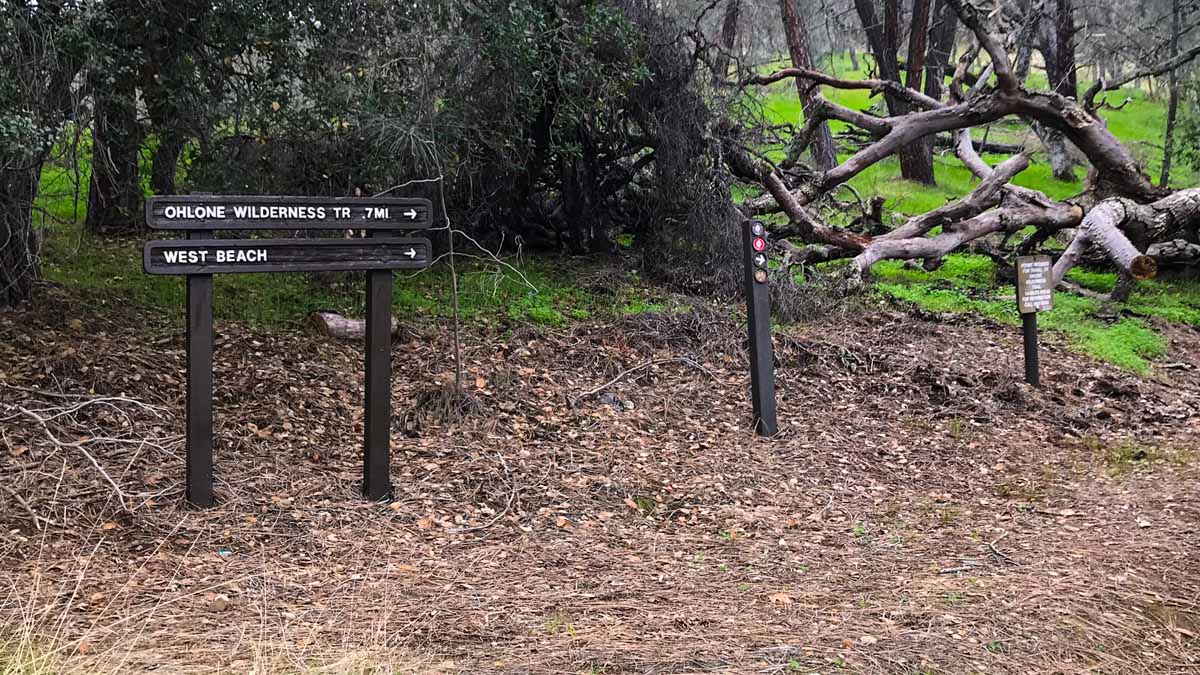
We hiked from the Vallecitos Trail near the family campground, but the Sailor Camp Trail near the Rocky Ridge Visitor Center meets up at the boundary of the Ohlone Wilderness.
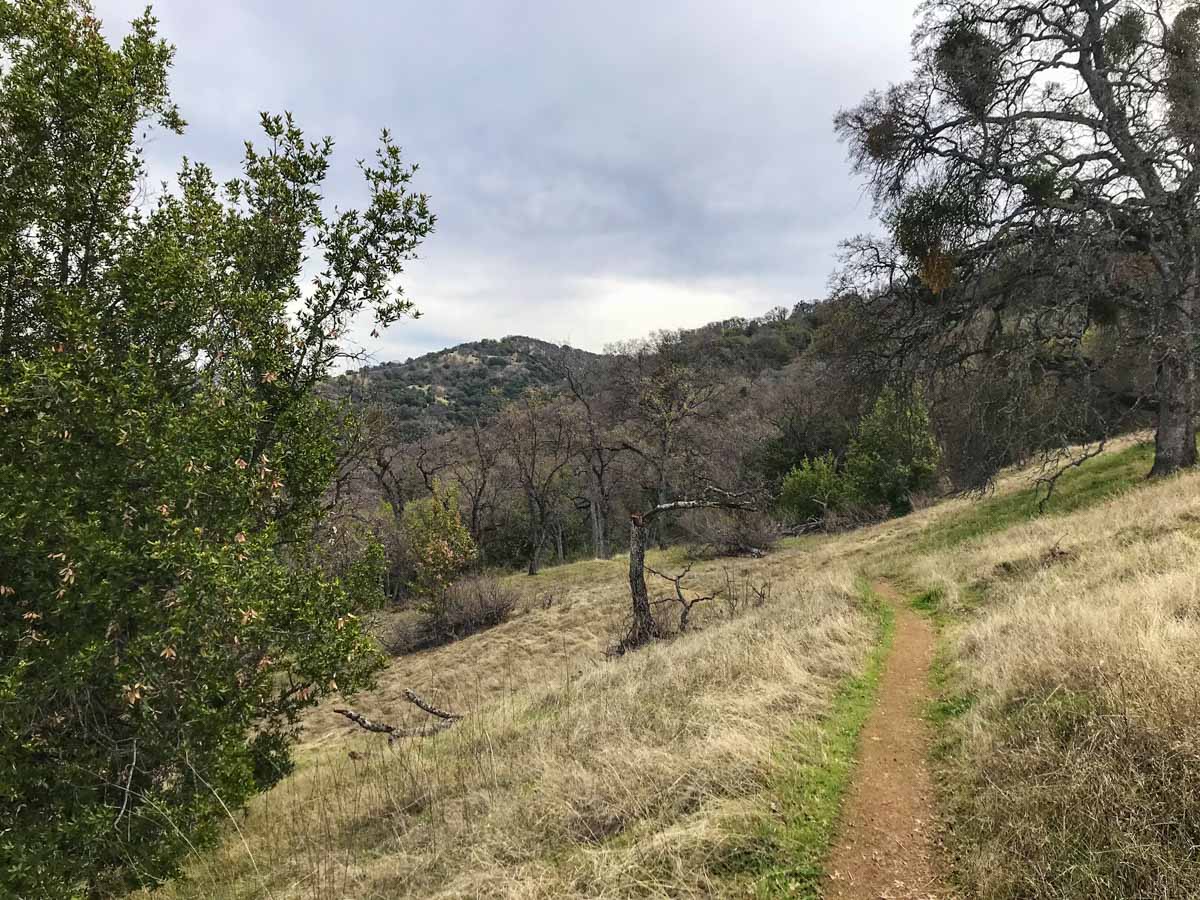
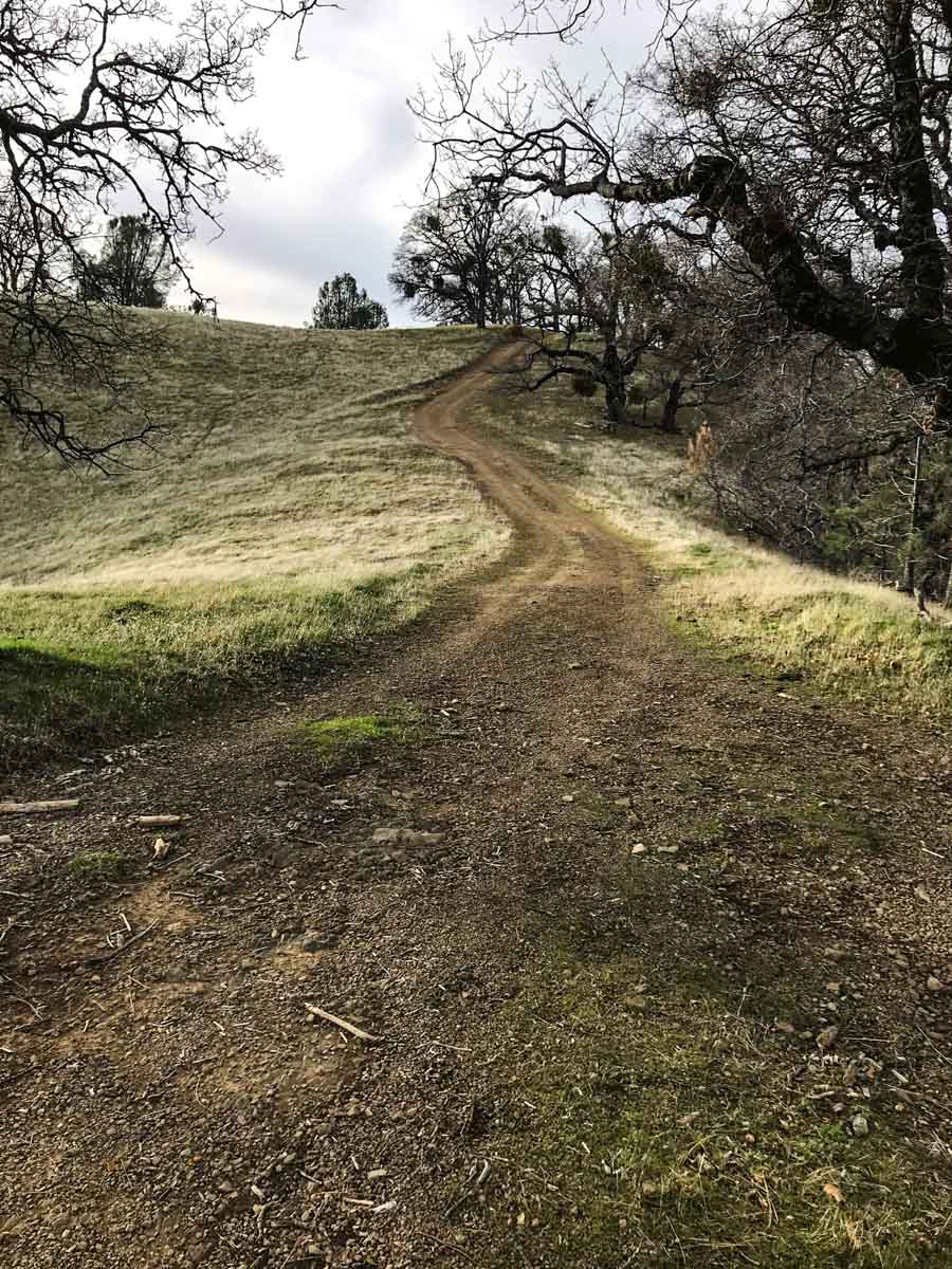
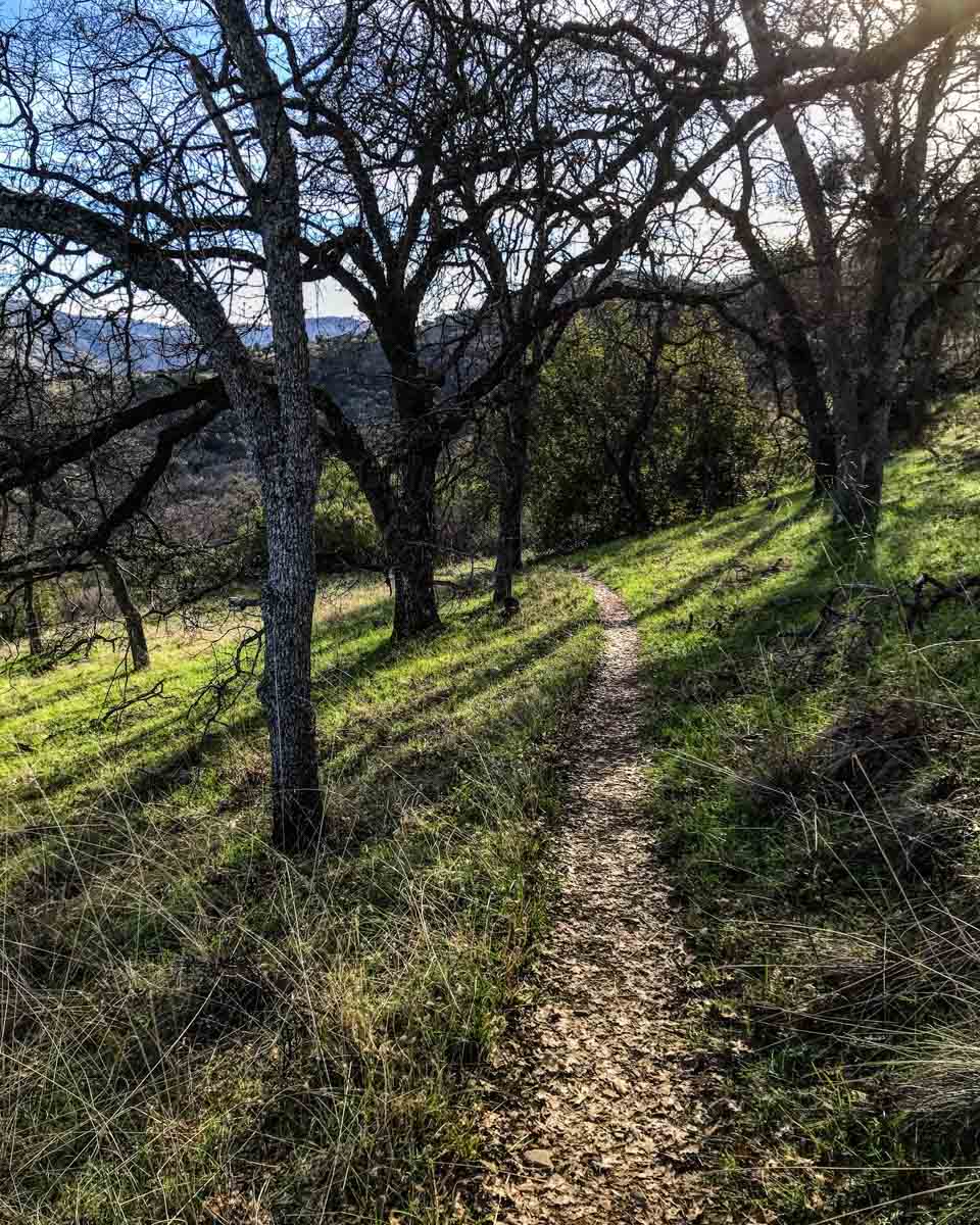
The trail starts out with a gradual climb along a shady ravine.

At 0.8 miles, you reach the junction with the Sailor Camp Trail and the check-in board for the Ohlone Trail. Check the information here for the latest warnings and bulletins, and sign the registry before continuing.

From here, the double-track trail climbs steeply. Trekking poles are highly recommended.
Pass through Gate RK4. As with all gates you encounter in the wilderness, be sure to close them behind you.

The first water source is marked by trail marker #39. As with most of the water sources on this trail, they require a detour to the spring, and water must still be filtered or treated before drinking.
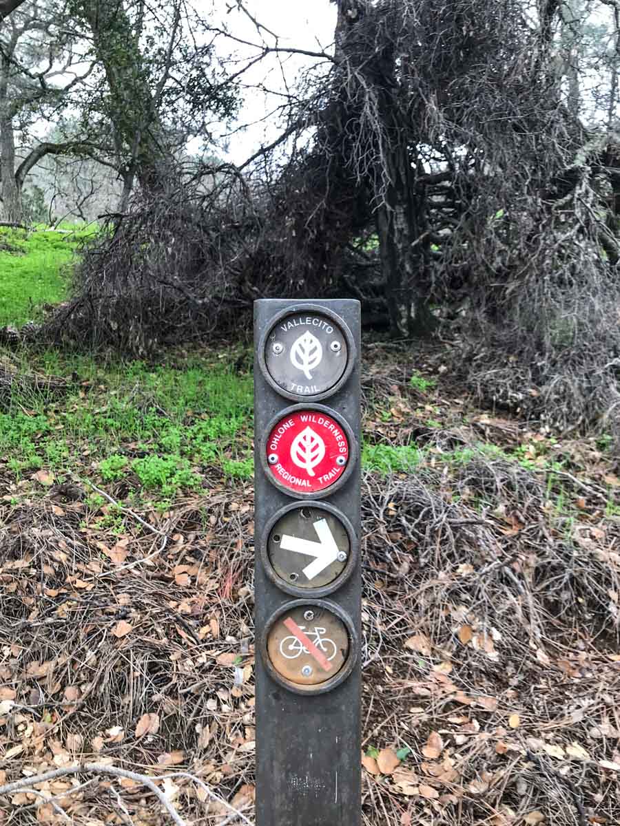
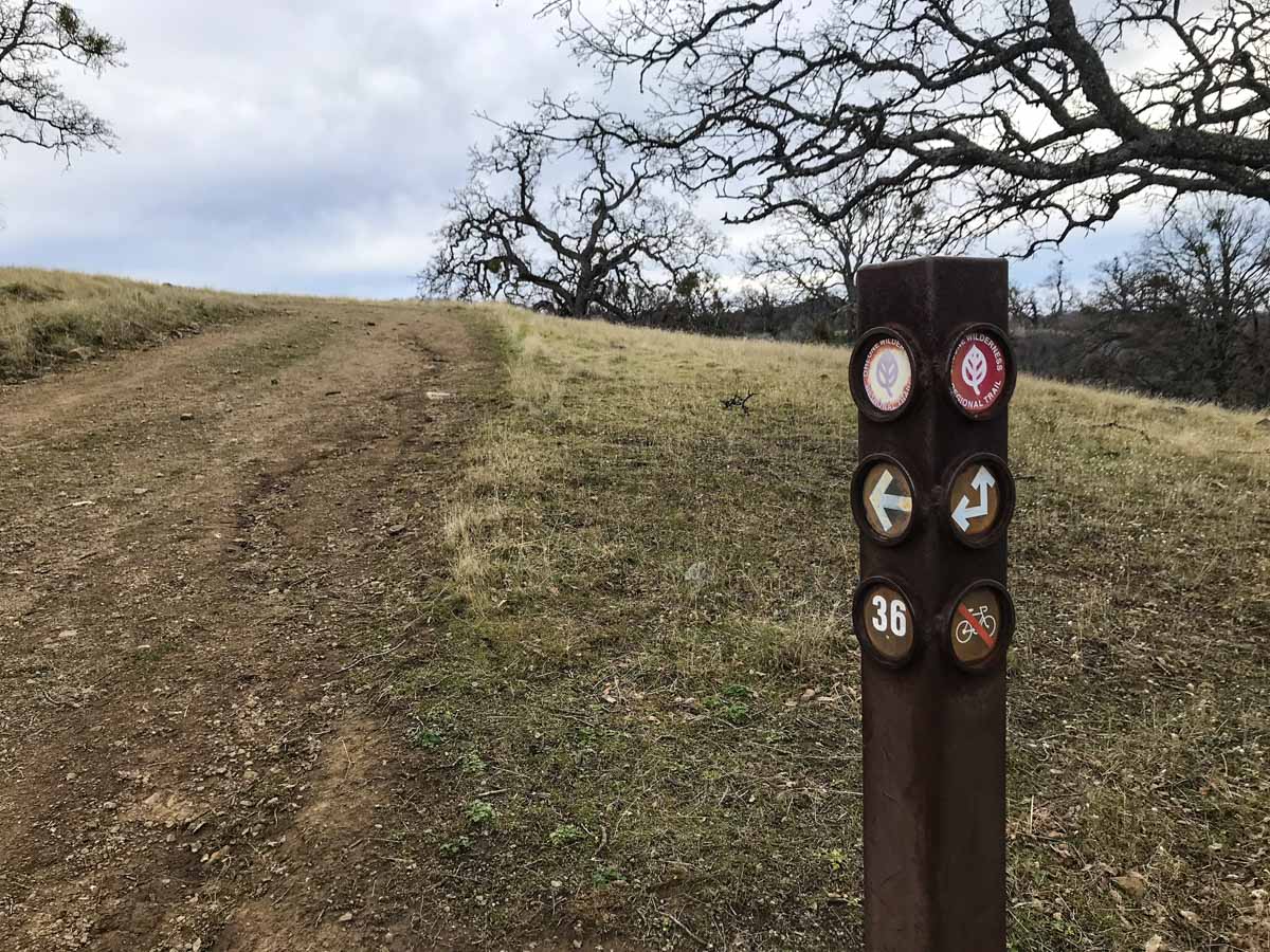
This trail signpost is typical throughout the park. They are well marked and numbered, making cross-referencing on your Ohlone Wilderness permit (map) a breeze.

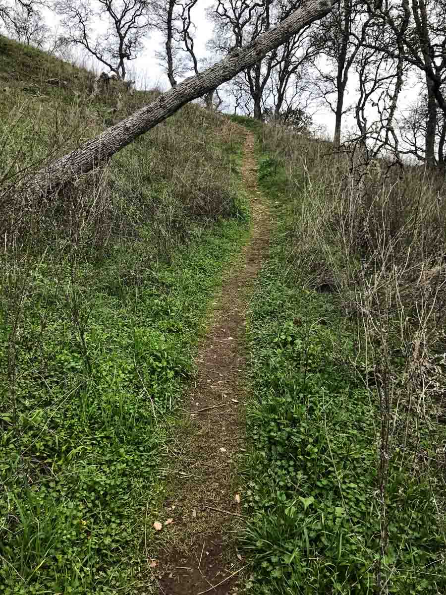
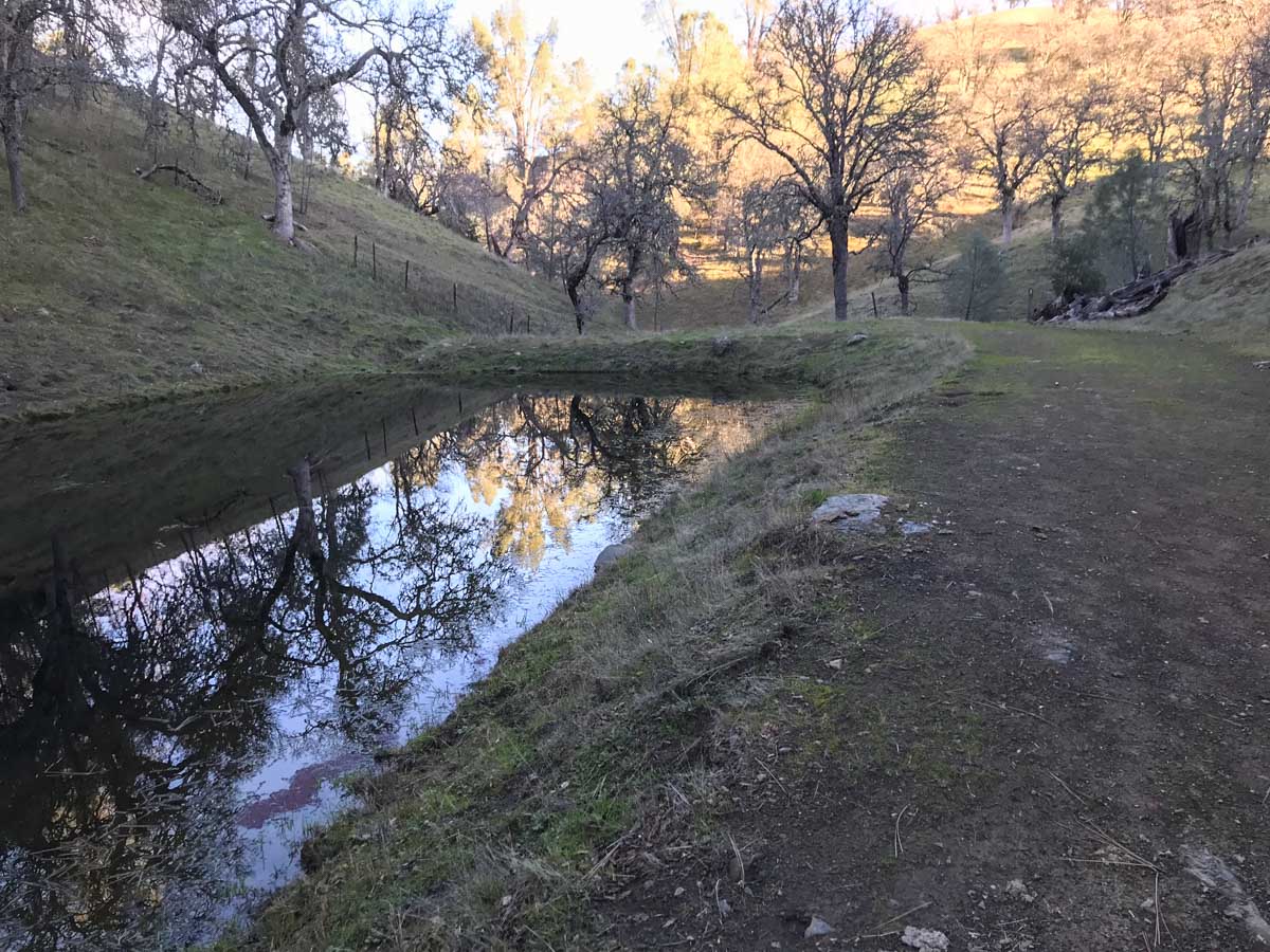
At about 2.3 miles you pass through a saddle and begin the first big descent into Williams Gulch. At the bottom, a season creek gurgles and cascades over moss-covered rocks. It’s a good place to collect and get ready for another big climb.

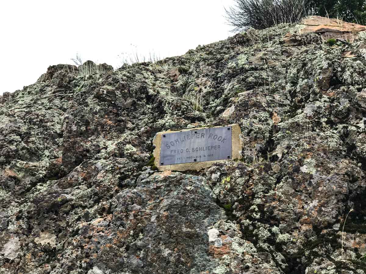
After climbing 1.8 miles up, you encounter an interesting rock outcrop. If you look closely, you’ll find a plaque identifying the point as Schlieper Rock. And you’re not done schlepping uphill quite yet.
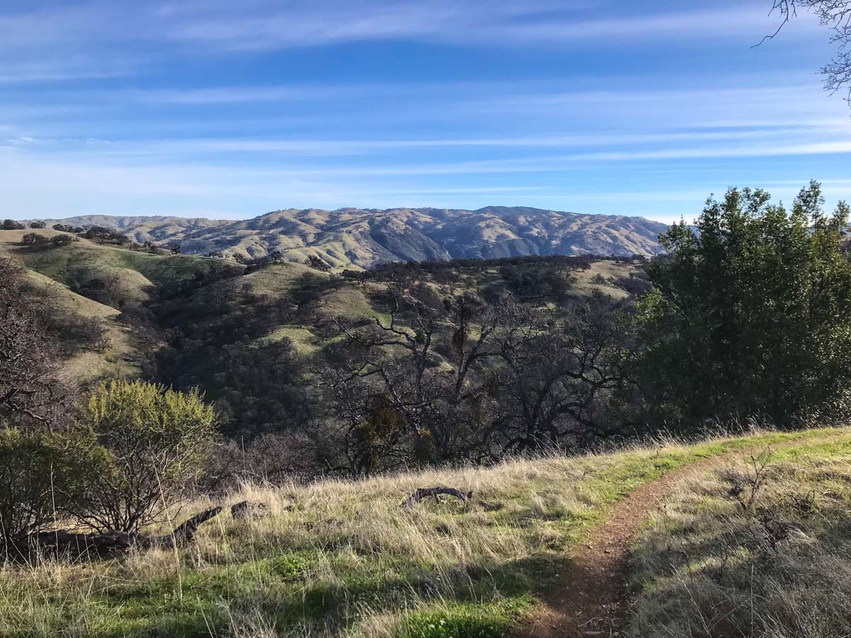
At the 5.2 mile mark you reach the ridgeline. From here the climb tapers off for a bit, with gently rolling hills replacing the relentless uphill grind.

At about 7.5 miles, the trail turns right at marker #32 begins another descent. Skirting La Costa Creek and climbing another ridge, the south San Francisco Bay comes into view in the hazy distance.

At marker #31, the trail turns left and descends to Indian Creek. We refilled our water here, filtering it with a Katadyn BeFree water filtration bottle.

After Indian Creek, we had one last climb. At trail marker #29, we beared right toward Maggies Half Acre Camp – our destination for the night.

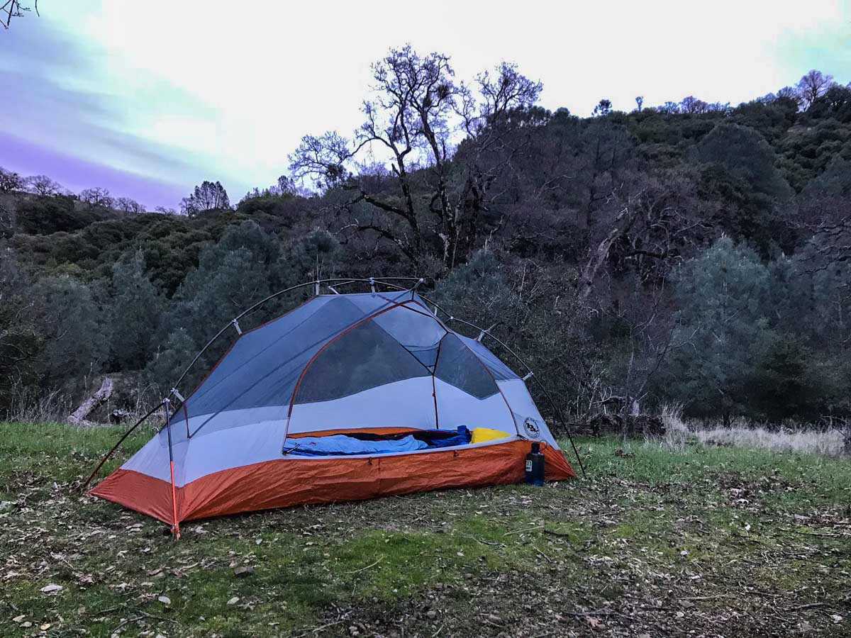
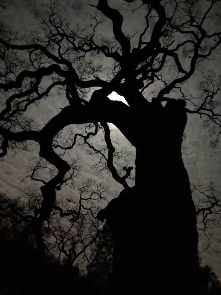
Maggies Half Acre sits on a bench just north and below Rose Peak. There are several campsites, a pit toilet and spring-fed water source (again, filter before drinking).
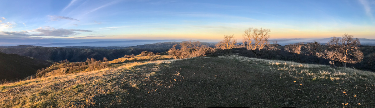
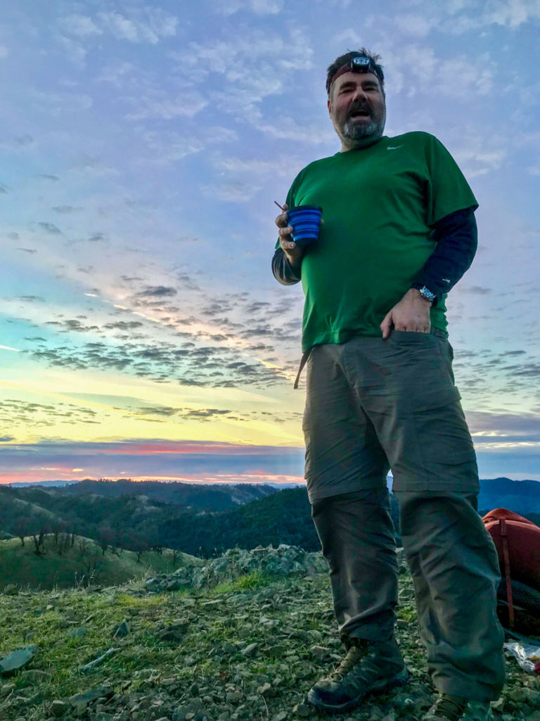
In the morning, we broke camp before dawn and hiked west to trail junction #28, then turned back east and up to Rose Peak. We made some coffee and enjoyed the sunrise from the summit.
Fully-caffeinated and ready to head home, we followed the trail east back to trail marker #29, rejoining the trail we came in on the day before. From here it was just a matter of retracing our steps back to Del Valle.
Our fresh legs carried us all the way to Williams Gulch, where we took our only break for the day and refilled our water one last time.

The climb out of the gulch felt much easier and shorter than we expected, and from the ridge, it was mostly downhill the remainder of the way.
When Del Valle Regional Park came into view, we knew we’d be on our way home soon.

We saw only a few other people on the trail on our weekday trip. The quiet and the solitude was peaceful. The terrain is deceptively gentle looking, and surprisingly challenging.
Without a doubt, this was the toughest hike in the NorCal Six-Pack of Peaks.
Rose Peak via Del Valle Trail Map & Elevation Profile
Ohlone Regional Wilderness Tips & Resources
- This route begins in the Del Valle Regional Park. There is an entrance fee of $6 per vehicle, and additional fees for overnight camping in Del Valle. Park hours vary by season, so check the website for the latest information.
- If you are day hiking, you will park in the Rocky Ridge Visitor Center parking area and begin on the Sailor Camp Trail. If you camp overnight at Del Valle at the family campground (as we did) you begin at the Vallecitos Trail. Both trails converge at the junction with the Ohlone Trail at the wilderness boundary. Be sure to sign-in on the register at the boundary.
- You must order a permit and carry it on this hike. It’s only $4 bucks at the time of writing, it’s good for a year, and includes a detailed map, trail descriptions, rules and other useful data. Each person in the party needs their own permit. This is probably the best idea I’ve seen for a permit. As long as you’re carrying a permit, you’ve got a map and all the details on the park.
- Overnight camping is at designated campsites only, and requires a reservation. Call 1-888-EBPARKS or 1-888-327-2757, press option 2 to reserve a campsite.
- Visit the official Ohlone Regional Wilderness website for the latest info on trail conditions, water availability, and regulations.
- Cell coverage via AT&T was limited on this hike. The best signal was near Rose Peak, where there is a line of sight with the south bay.
- As always, carry the ten essentials and practice the seven Leave No Trace principles.
Rose Peak is part of the NorCal Six-Pack of Peaks Challenge. Join today!
Originally hiked on January 29 & 30, 2018 with Jason Fitzpatrick.
You must be logged in to post a comment.