Hiking Mitchell Canyon to Mount Diablo
Mitchell Canyon Staging Area
Challenging
13.2 mi
Out-and-back
13.2 mi
21.2 km
Distance
3,529 ft
1,076 m
Gain
3,849 ft
1,173 m
Summit
5-7 hours
Est. time
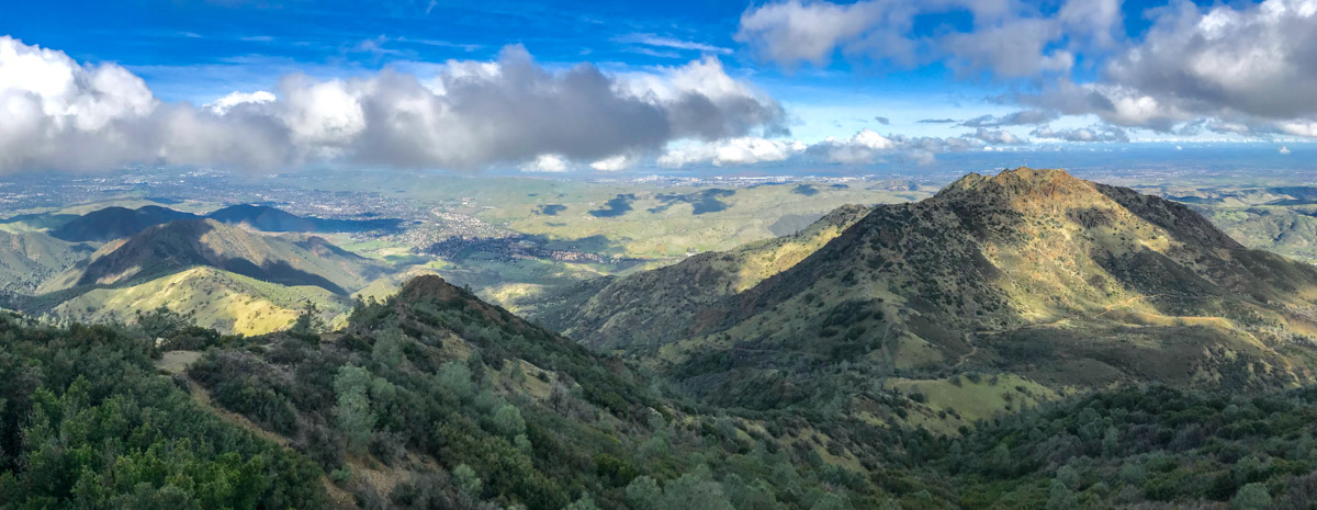
Mount Diablo stands tall over the San Francisco Bay Area. At 3,849′ it is not the tallest peak in the area, but it is one of the most prominent. Surrounded by low-lying hills, Diablo looks even more impressive. In fact, in 1851 it was established as the baseline and meridian for land surveys covering two-thirds of California and all of Nevada.
There are many ways to reach the summit of Mt Diablo, including by car. You don’t earn the views that way. This hike begins at the Mitchell Canyon Staging Area on the north side of Mount Diablo State Park, climbs up the rugged, challenging ridge-line to Twin Peaks, on to Eagle Peak, and then Prospector’s Gap before the final climb to the summit. On the way back, we take the longer-but-gentler on the knees route through Mitchell Canyon. This loop is as challenging as it is scenic.
Getting to the Mitchell Canyon Staging Area
The Mitchell Canyon Staging Area opens at 8:00 am and has a $6 vehicle entry fee. When we arrived, the fee was self-service. Put a check or cash in the provided envelope and tear off the stub to put on your dashboard. Getting there isn’t difficult. The address is 96 Mitchell Canyon Rd, Clayton, CA 94517 and you can get turn-by-turn directions via Google Maps.
One amusing sight at the staging area? A rafter of wild turkeys roaming freely. Maybe several groups totally one hundred or more. I’d never seen so many in one place.
Hiking Mount Diablo
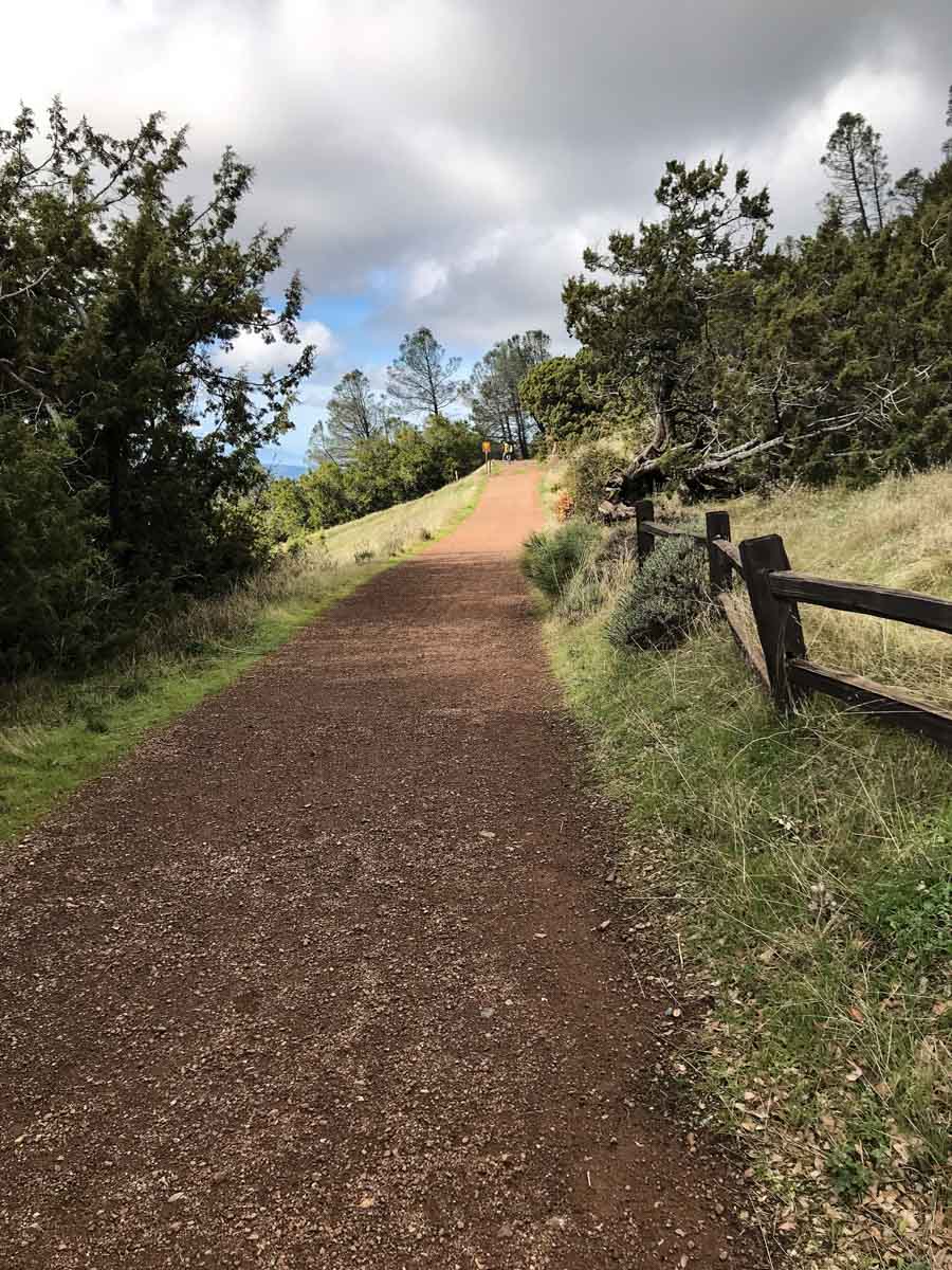
Start up the Mitchell Canyon Fire Road, turning left onto the Eagle Peak Trail after about one-tenth of a mile.


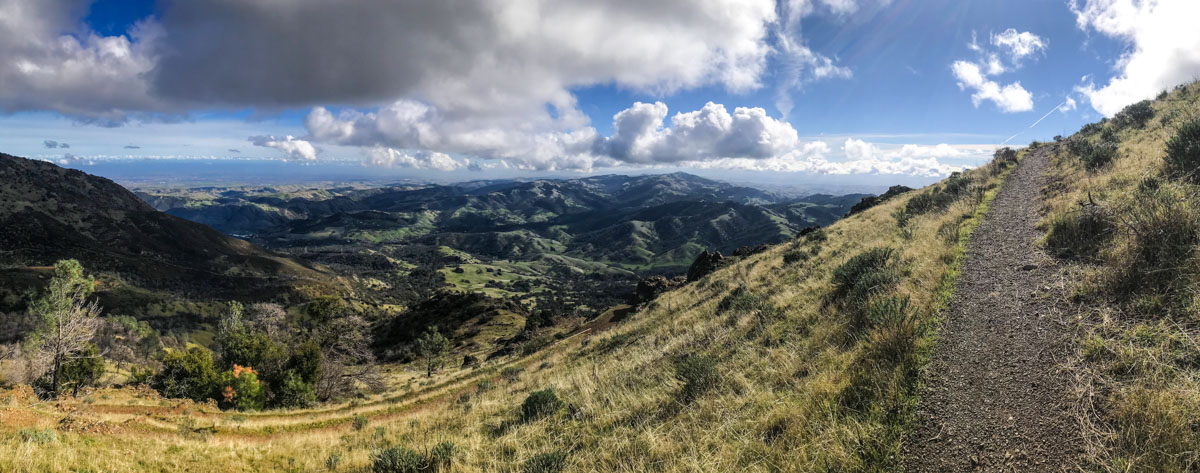
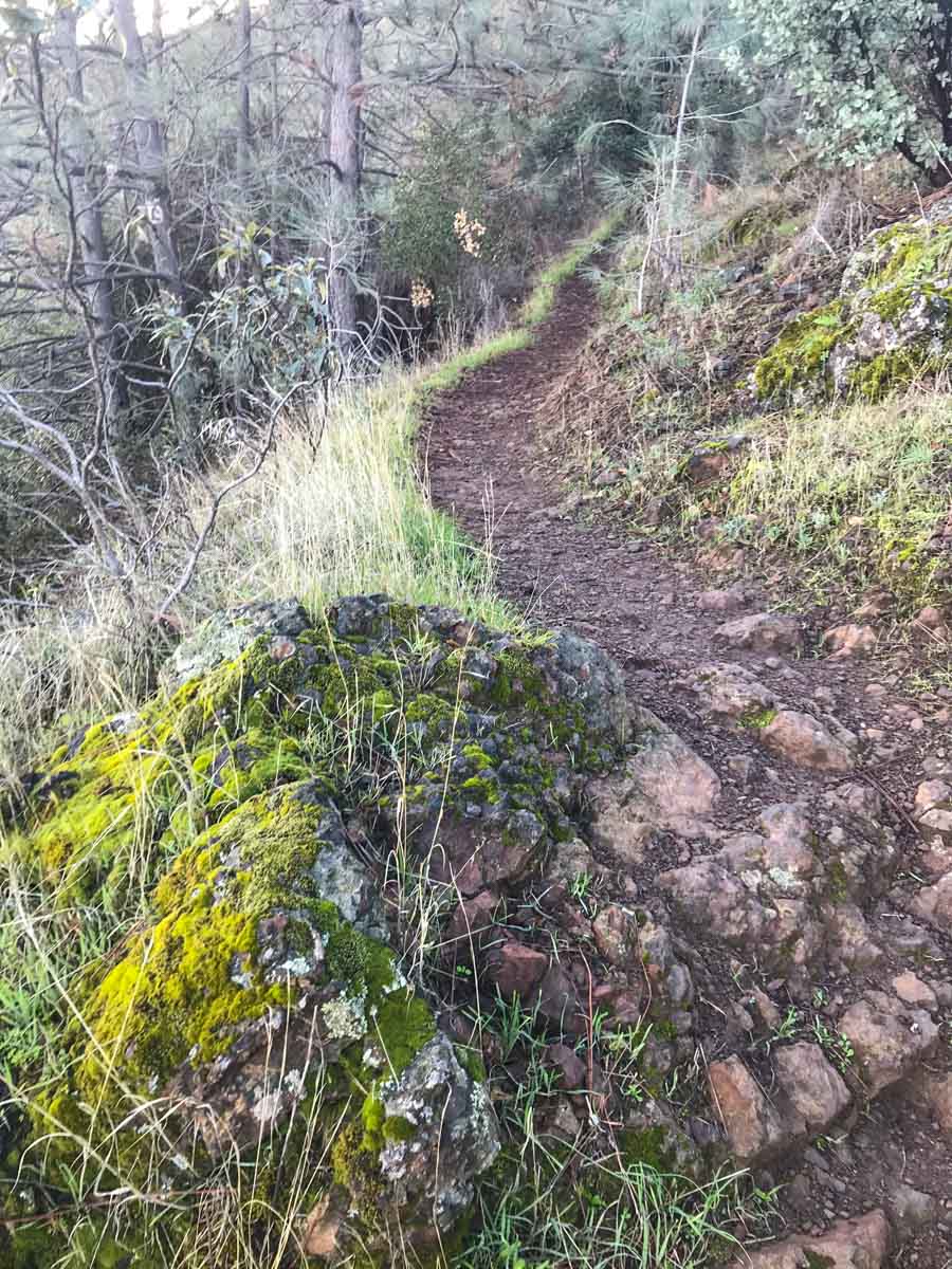
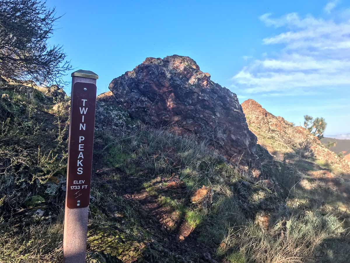
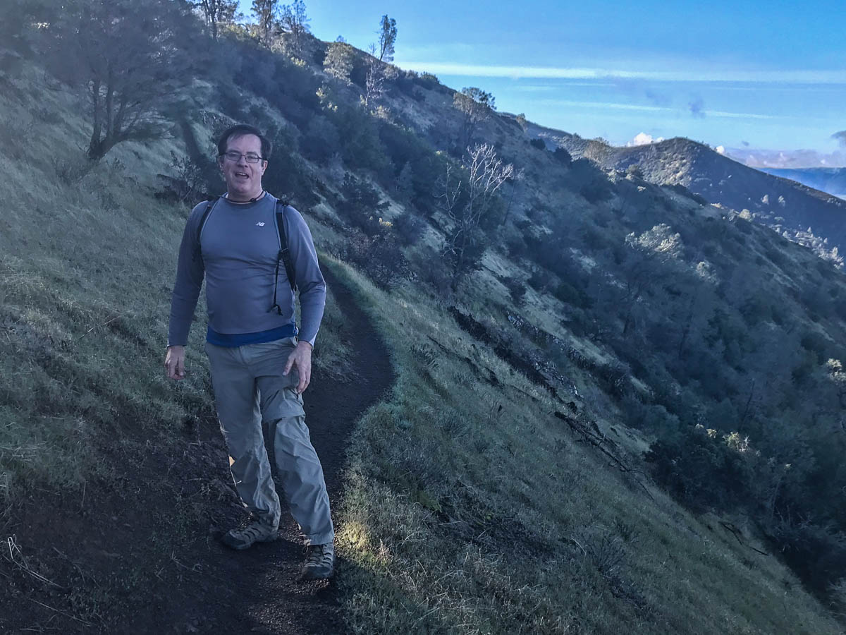
This single-track trail has a lot of variety, from grassy hills to rugged, rocky sections through scraggly forest. As you climb, the views begin to open up. After hiking two miles and climbing your first 1,000 feet, you reach Twin Peaks – good spot to pause and soak in the views.
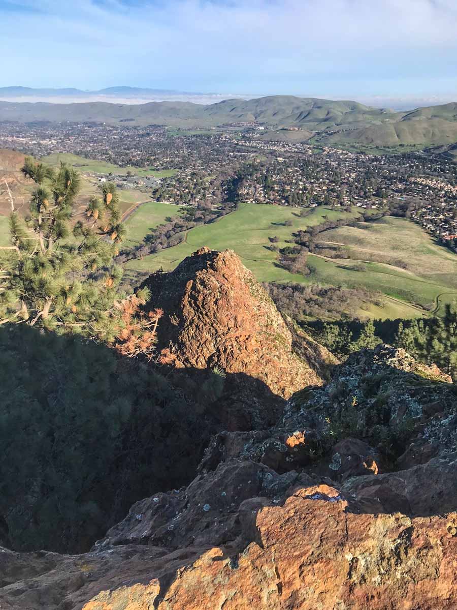
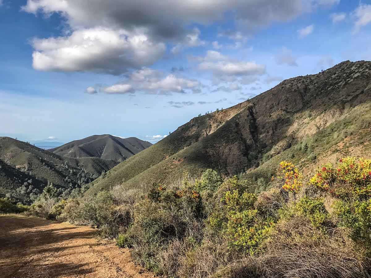
From Twin Peaks, the trail follows closely along the ridgeline for another mile to Eagle Peak.
When you reach Eagle Peak, you’ve already bagged two peaks and you’re just getting warmed up! There’s a summit register at Eagle Peak, though I didn’t see a blank page in the two or three in the can.

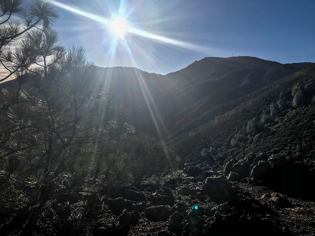
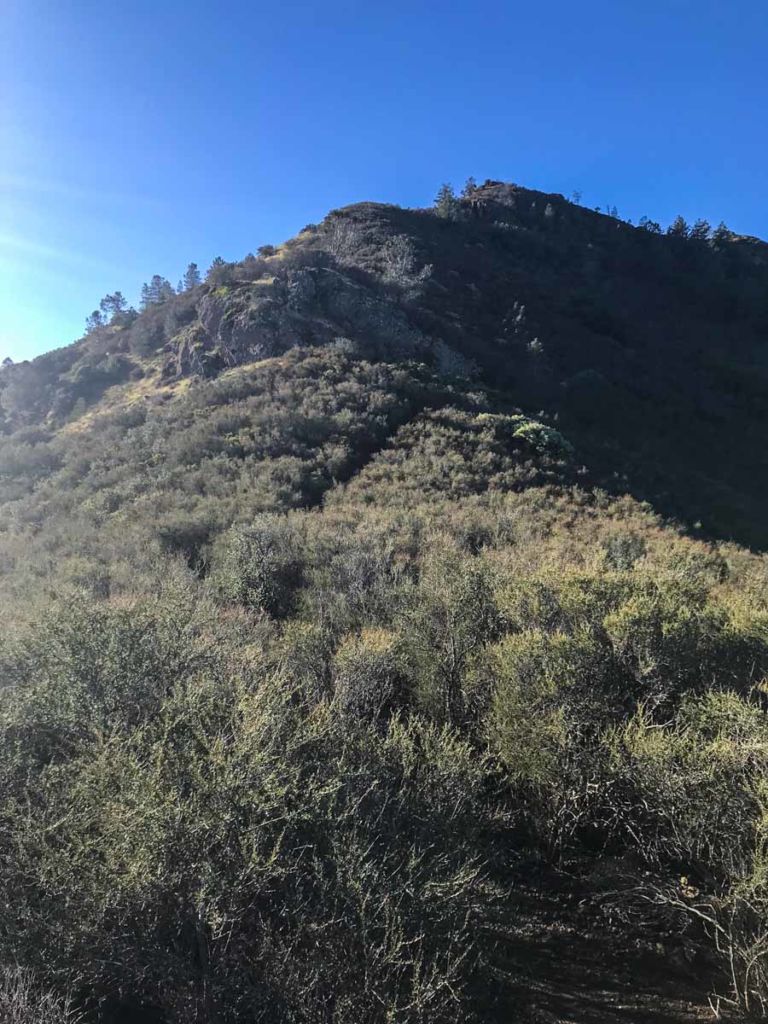
From here, the ridgeline heads downhill (yes, you’re going to give up some of that hard-earned elevation) before climbing again towards the saddle to the left of Mount Diablo known as Prospector’s Gap.
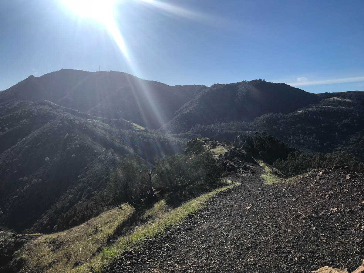
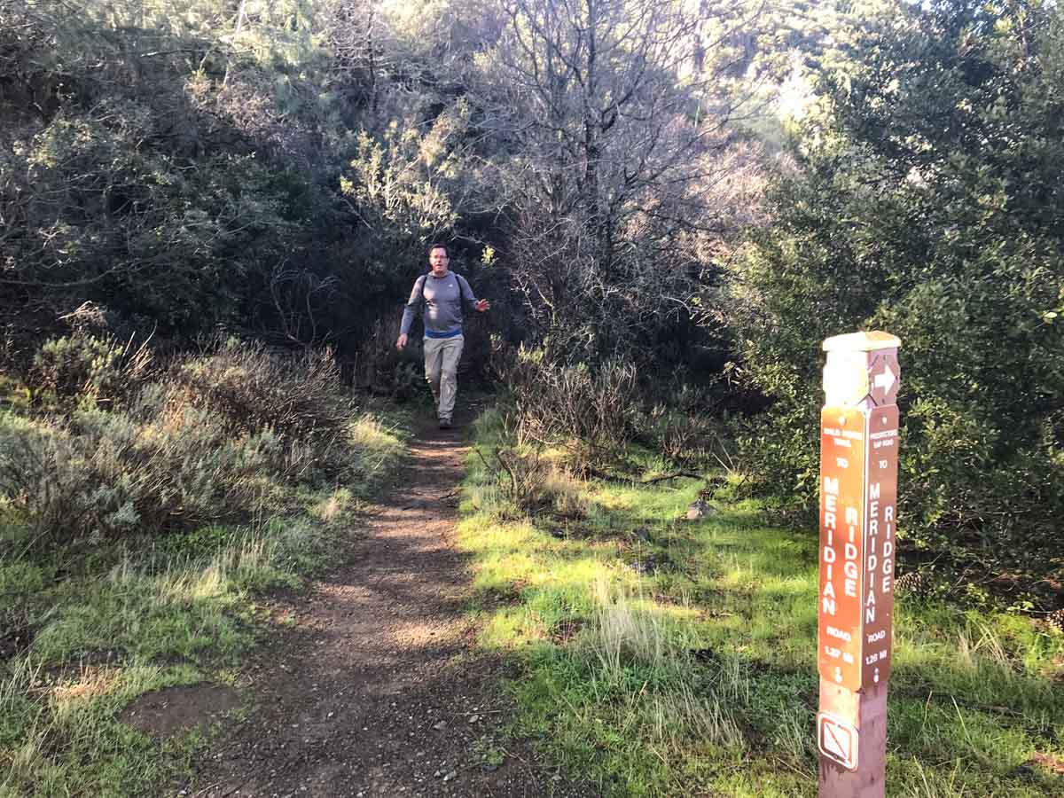
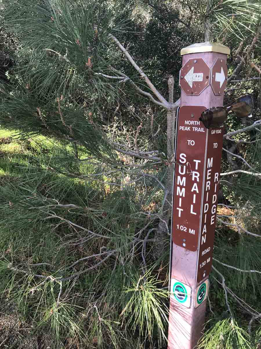
Several trails converge at Prospector’s Gap, so this is another good place to take a break and make sure everyone get’s headed in the right direction – specifically the North Peak Trail towards the Summit Trail.

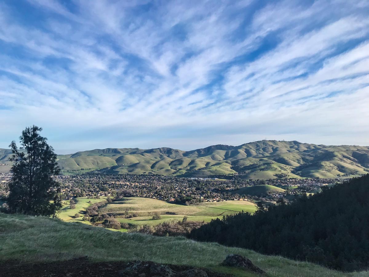
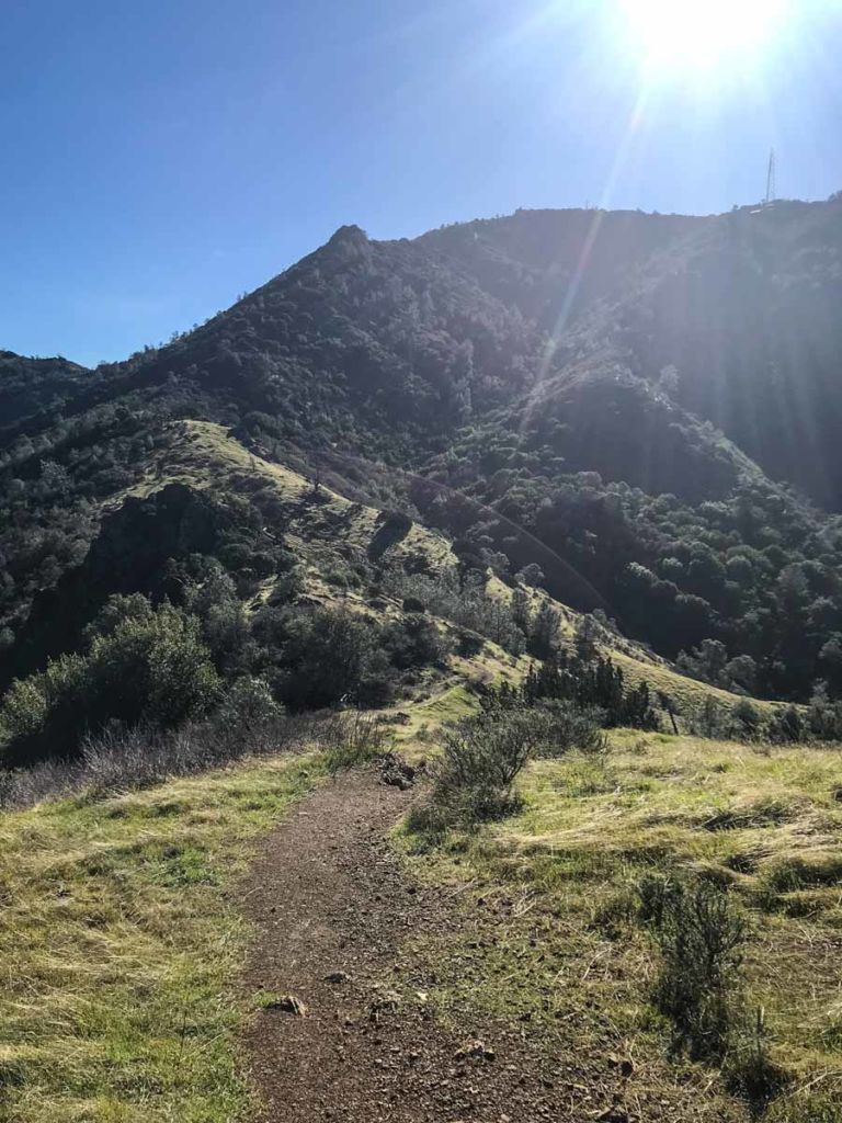
The views on the North Peak Trail were spectacular, and we were getting close enough to the summit to make out details in the tower.

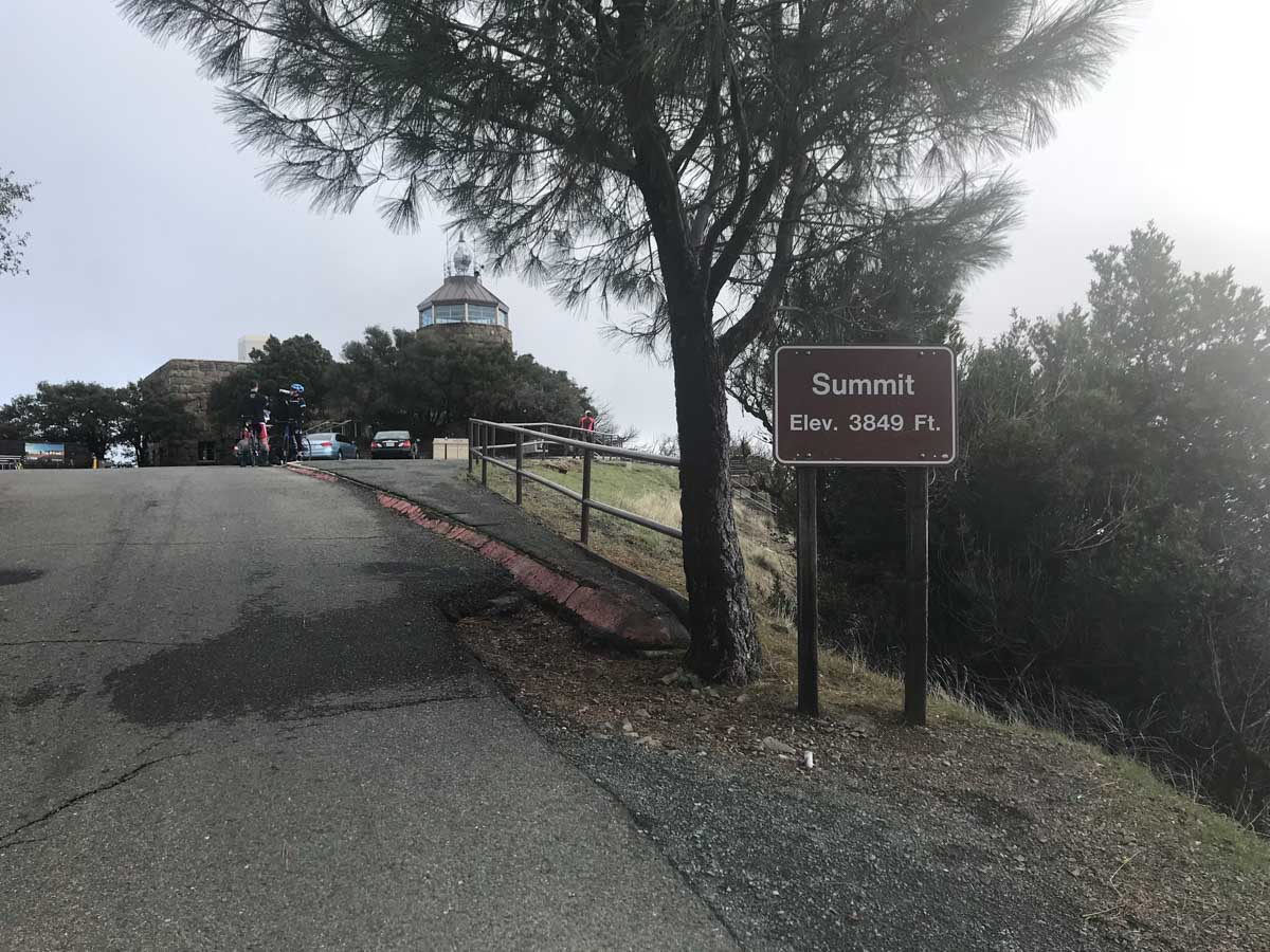
The Summit Trail actually threads it’s way through a forested section between the loop road that cars take to and from the summit. Nothing to get too excited about, other than the realization that: A. You’re not walking where the cars are driving, and B. You’re very close to the summit.
When you finally reach the summit after 7 miles of hiking, you’ll likely see young children being chased by their parents and road bikers in their spandex tights. You’ll be one of the few who actually hiked to the top, but don’t let it go to your head. You still have to hike back down.
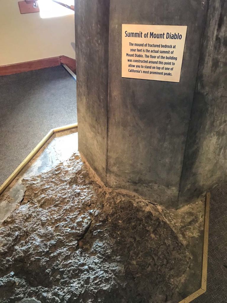
Spend some time in the visitor center, and be sure to go upstairs where you’ll find the actual summit of Mount Diablo. Yes, the highest point of the “rock” that is Mount Diablo is actually inside the visitor center, which was built around (and above) it.
The top of the visitor center has a viewing platform where you can point out many landmarks. In fact, according to Dan Stefanisko, supervising ranger at Mt. Diablo State Park, you can see 35 of the 58 counties in California on a clear day. There is even a direct line-of-sight to the summit of Half Dome in Yosemite, 135 miles away.

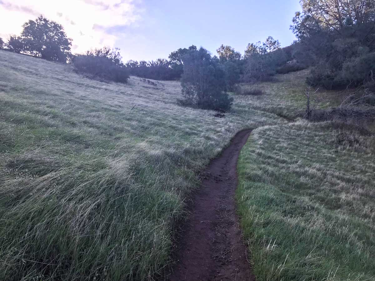
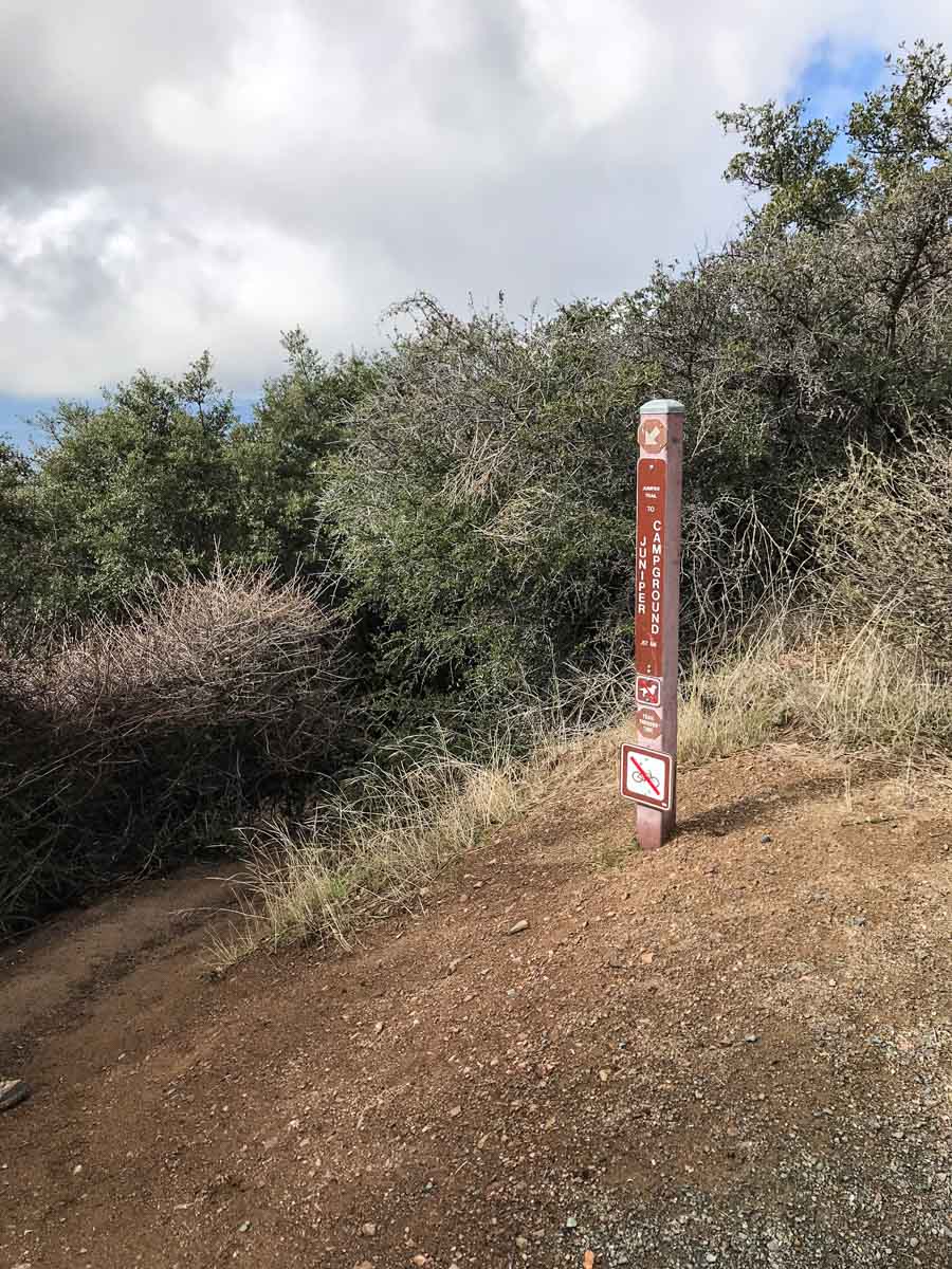
Heading back down, follow the Summit Trail downhill to a junction with a trail to the Juniper Campground. When you reach the campground, you’ll follow the Mitchell Canyon Fire Road to the right (northwest). You’ll follow this double track trail all the way back to the the Mitchell Canyon Staging Area.
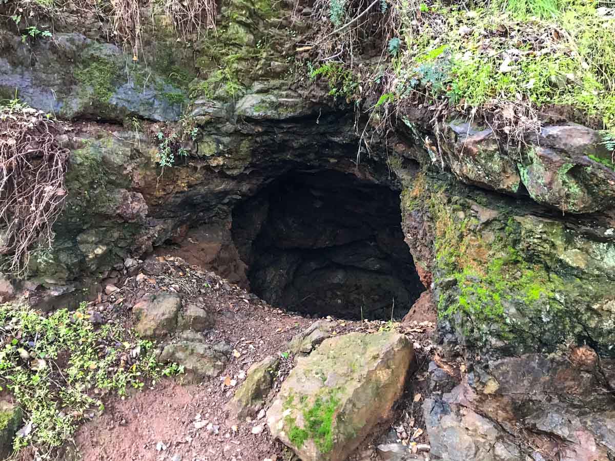
Along the way, there’s plenty to see. To your right, you’ll see the ridgeline you climbed earlier. We saw an old mine, huge fungus, and the beginning of wildflower season.

It was delightful to see water cascading down Mitchell Creek.

The last two miles are an easy hike, though after the first 13 miles, your feet might disagree. Finally, you’re back at the Mitchell Canyon Staging Area. The loop is complete.
Mount Diablo Trail Map & Elevation Profile
Mount Diablo Resources
- Bring the Ten Essentials. I highly recommend bringing GaiaGPS with the map for the area downloaded in advance. The web of trails and roads near the summit can be confusing.
- Mount Diablo State Park is open from 8am to sunset.
- There is a $6 vehicle entry fee to park at the Mitchell Canyon Staging Area. If you arrive before the visitor center is open, you deposit your fee in check or cash in the provided envelope and put the stub on your dashboard.
- The summit visitor center is open daily from 10am to 4pm, and is worth a visit. It’s also the only way to reach the actual summit of Mount Diablo – you’ll find it sticking through the second floor of the visitor center!
- This trail is part of the NorCal Six-Pack of Peaks Challenge. Join today!
- Post-hike libations? We headed to nearby Calicraft Brewery in Walnut Creek.
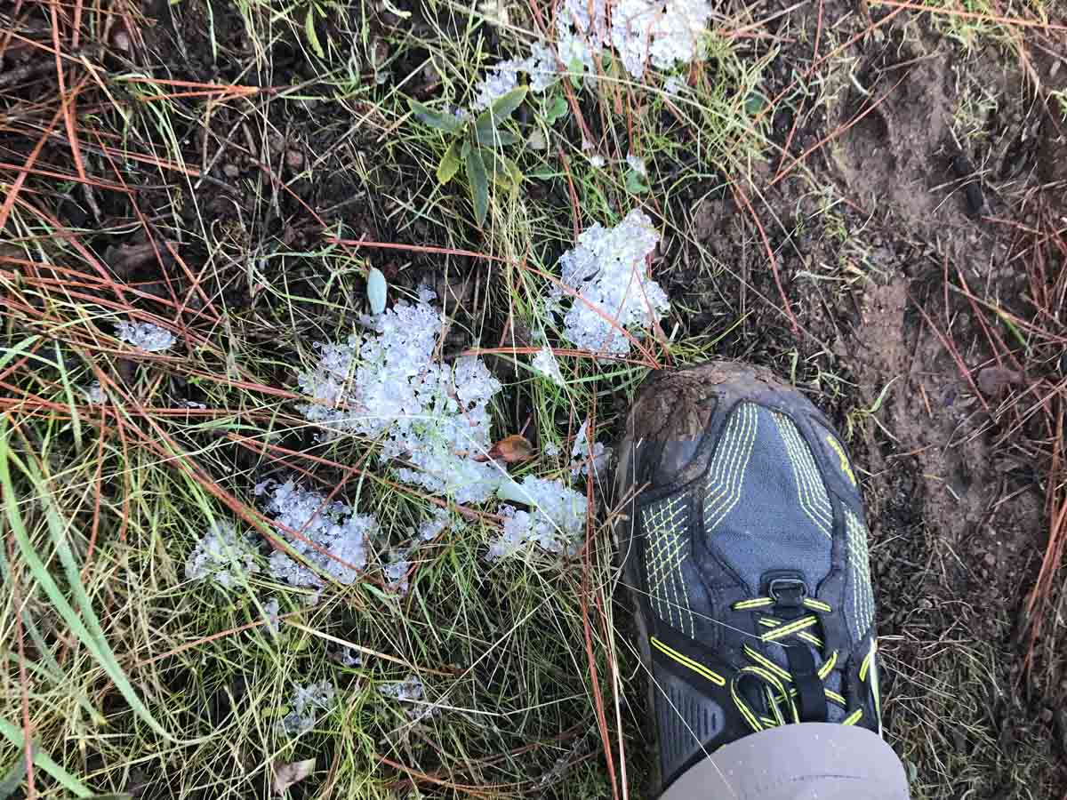
Conditions at the summit can be very different. It can even get snow during winter months. Check here for more detailed summit info.
Originally hiked on January 26, 2018 with Karl Doll (@alpharoaming).
You must be logged in to post a comment.