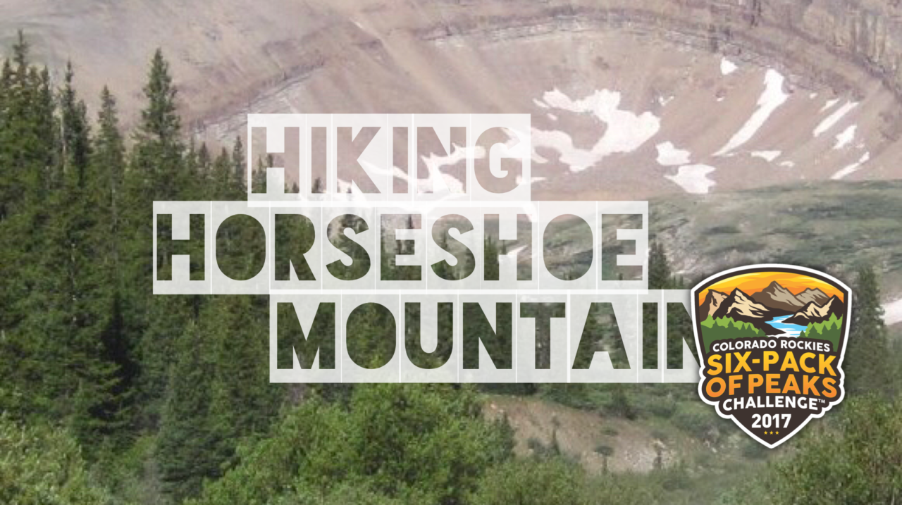
Hiking Horseshoe Mountain

Horseshoe Mountain scrapes the clouds at 13,898′ – just shy of being a 14er. Even so, the glacier carved cirque remains one of Colorado’s 100 tallest mountains, and the views are coveted by peak baggers. Just west of Fairplay, Horseshoe Mountain straddles Park and Lake County and is dotted with abandoned mines. Epic views, fascinating geology, and a rich mining history make this uncrowded hike a gem.
Trail Details
Summit: 13,898′
Distance: 6.4 miles
Time: 4-4.5 hours
Difficulty: Strenuous
Elevation gain: 2,254 ft
Dogs: Yes
When to go: Mid-June to early October
Download GPX
Distance: 6.4 miles
Time: 4-4.5 hours
Difficulty: Strenuous
Elevation gain: 2,254 ft
Dogs: Yes
When to go: Mid-June to early October
Download GPX
Getting to the Trailhead
The adventure begins with an 11 mile drive on a bumpy gravel road called Fourmile Road (CO-9). Sedans should be fine, but you’ll need to allow additional time. When you pass the crumbling remains of the ghost town of Leavick, you are almost there. You can park on the side of the road, or take a left and follow the dirt road up another 0.5 mile, at which point you are at timberline. Get driving directions here.

You’ll drive 11 miles up Fourmile Road

When you pass this, you’re almost to the trailhead.

You can drive about 0.5 miles and park, or hike it.

Not maintained for 2WD
Hiking to the Summit of Horseshoe Mountain
This trek began with a hike up a gravel Forest Service road. After about a 0.5 miles you pass the last of the cabins and the “road” becomes a rough double-track. You could drive to that point and park on the side of the road, but you may want a high clearance or 4WD vehicle.
Continue onward and upward.

One mile in, the namesake cirque of Horseshoe Mountain comes into view. Keep following the trail as it winds upward.

As you near the base of the cirque, you’ll see the headwaters of Fourmile Creek–Leavick Tarn.


Pick your way up the myriad of trails, aiming towards the saddle north of the cirque. Along the way, you’ll see the remains of many abandoned mines. Though it may be tempting, I advise against exploring these unstable and potentially dangerous structures.

At 2.7 miles, you reach the saddle which begins at 13,110 feet. From the saddle, follow the ridge-line toward the south.

In late June, a foot path was easy to follow towards the summit, with just a few patches of snow to traverse.

The summit of Horseshoe Mountain is marked by a small mound of rocks. Keep heading south until you reach it.

The views from the summit are phenomenal.


[vr url=https://socalhiker.net//wp-content/uploads/2017/08/MEPQ4319.jpg view=360]
The wind on the ridge is powerful and cold. Be prepared to layer up.
Retrace your steps back to your vehicle, roughly 6.5 miles roundtrip.

Horseshoe Mountain Trail Map & Elevation Profile
Horseshoe Mountain Tips & Resources
- Horseshoe Mountain is a Colorado Mountain Club Classic. For more details, check out Colorado Summit Hikes for Everyone (affiliate link).
- At the time of writing, no permits were required.
- Bring plenty of water, sun protection, and the other ten essentials. This hike is entirely above the tree-line.
- Keep an eye on the weather forecast, and plan to summit by noon. Afternoon lightning storms are a very real risk.
Fairplay Weather Forecast
[forecast width=”100%” location=”80440″]
The Colorado Rockies Six-Pack of Peaks Challenge
 Birthday Peak is part of the Colorado Rockies Six-Pack of Peaks Challenge, a self-paced hiking challenge that takes you up six, iconic peaks–each one a bit higher and tougher.
It’s a challenge in itself, or great training for still bigger adventures. Learn more and sign-up here.
Originally hiked on June 30, 2017.
You must be logged in to post a comment.