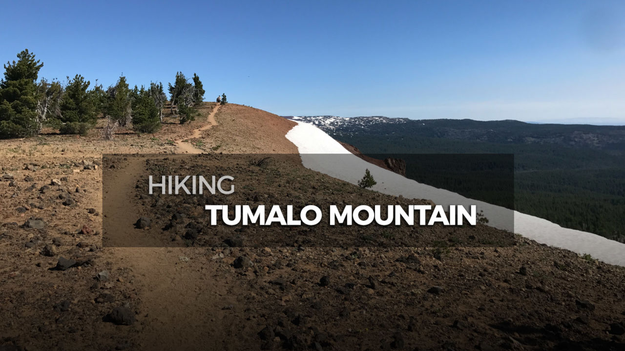
Hiking Tumalo Mountain

Tumalo Mountain is a shield volcano that lies just northeast of Mount Bachelor. This trail begins at the Dutchman Flat Sno-Park, and climbs steadily up the west flank of the cinder cone. Tumalo gives you great views of not only Mount Bachelor, but also Broken Top and South Sister.
Trail Details
Summit: 7,779′
Distance: 4.2 miles
Time: 2-3 hours
Difficulty: Moderate
Elevation gain: 1,312 ft
Dogs: Yes, on leash
When to go: Mid-July to mid-October
Download GPX
Distance: 4.2 miles
Time: 2-3 hours
Difficulty: Moderate
Elevation gain: 1,312 ft
Dogs: Yes, on leash
When to go: Mid-July to mid-October
Download GPX
Getting to the Trailhead
This part is easy; head to the Dutchman Flat Sno-Park lot. If you’re heading west on Cascade Lakes Highway (trust me, you are), it will be on your right about 1/4 mile past the Mount Bachelor Sunrise Lodge entrance. You can get complete turn-by-turn driving directions to the Dutchman Sno-Park via Google Maps here.

Trailhead facilities

Tumalo Mountain trailhead
Hiking to the Summit of Tumalo Mountain
The trail begins at the north end of the parking lot near the restroom. It immediately crosses a mountain bike trail and proceeds to wind up and around Tumalo Mountain.

Initially the trail views are obscured by the forest, but turn around once in a while to capture a glimpse of Mount Bachelor to the west.

As you climb, the forest thins and wildflowers like lupine abound.

The dirt trail winds among the gnarled ghosts of whitebark pines, giving way to reddish cinder.

The “summit” is relatively flat, sloping upward to the highpoint on the far north end. Follow the rock-lined path that loops around the top of Tumalo Mountain and avoid trampling the fragile crust and the ecosystem it supports.


From the top of Tumalo Mountain, you have a great view of Mount Bachelor to the west.

To the north, South Sister, Middle Sister and Broken Top give you plenty to soak in.

You will also find a large cairn near the high-point.

[vr url=https://socalhiker.net//wp-content/uploads/2017/09/GUER0023-1.jpg view=360]
Tumalo Mountain Trail Map & Elevation Profile
Tumalo Mountain Tips & Resources
- At the time of writing, no permits were required.
- Bring plenty of water, sun protection, and the other ten essentials.
- Tumalo Mountain is also a popular destination for snow-shoeing in the winter.
- Check out William Sullivan’s 100 Hikes / Travel Guide Central Oregon Cascades (affiliate link) for more on the geology and flora of Tumalo Mountain.
Bend Weather Forecast
[forecast width=”100%” location=”97701″]
The Central Oregon Six-Pack of Peaks Challenge
 Tumalo Mountain is part of the Central Oregon Six-Pack of Peaks Challenge, a self-paced hiking challenge that takes you up six, iconic peaks–each one a bit higher and tougher.
It’s a challenge in itself, or great training for still bigger adventures. Learn more and sign-up here.
Originally hiked with Joan on July 21, 2017.
You must be logged in to post a comment.