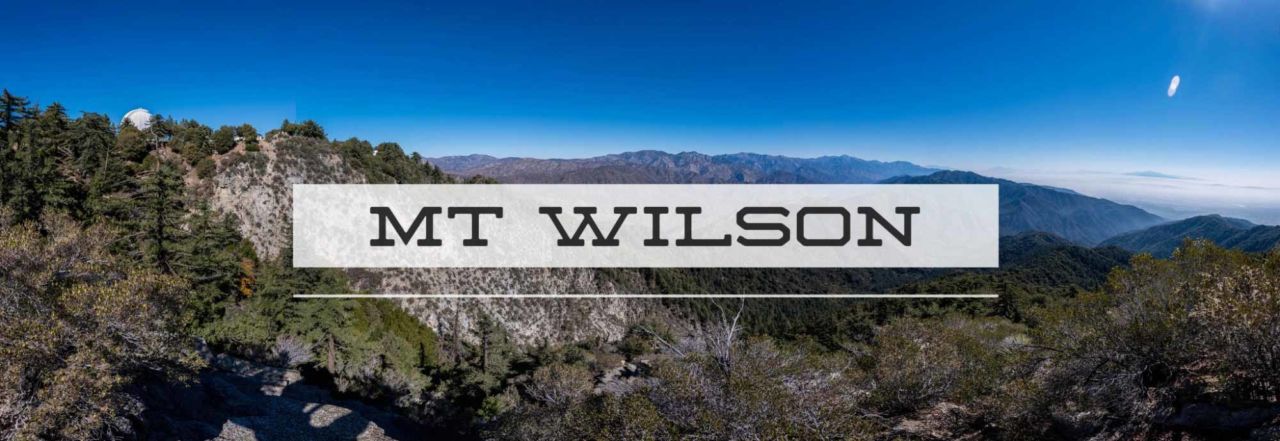

Standing prominently above Pasadena, Mount Wilson is a Southern California landmark. The 5,713 foot summit is home for an observatory responsible for the most detailed photos of Mars as well a vast array of antennae for local LA radio and television stations. While the summit is steeped in astronomical wonder and tremendous views of Los Angeles, the trails are the real beauty of this hike.
Distance: 13.5 miles
Time: ~6 hours
Difficulty: Strenuous
Elevation gain: 4,200 ft
Dogs: OK
When to go: Fall through Spring
Note: this trail is quite popular and fills up early on the weekends. If you get there at 7am, you might find the lot already full. There is overflow parking at the Chantry Flats Pack Station, but they will charge you ($10 when I parked there in Nov. 2009). But don’t go too early — the gate to the trailhead parking doesn’t open until 6am. Also note that an Adventure Pass is required unless you park at the Pack Station.
 This hike is the first in my Six-Pack of Peaks series of training hikes. I used them to prepare for hiking the John Muir Trail, but others are doing it to prepare for hiking Whitney, or simply just for the adventure, the scenery and the mountain views.

After a few photos, we retraced our steps from the falls to the junction with the Gabrielino Trail. There are two options, both about the same distance. The “high” trail is for horses and less scenic. Instead, take the trail to the right which parallels the babbling creek. You’ll follow this up to the Spruce Grove Campground — a good spot for a bio-break. These campsites are popular and would make a great introduction to backpacking, though you’ll get a lot of foot traffic (and mountain bikes) passing right by your campsite.

The Sturtesvant Trail to the summit follows the creek for a couple more miles, then begins a fairly steep switchback ascent up the side of the ridge for the last 1,000 of elevation gain.

The top of Mt. Wilson is somewhat anticlimatic. There are buildings, observatories and paved roads. There is a water fountain where you can refill your water bottle near the bridge. The top of Mt Wilson is a jumble of buildings, paved roads and paths that can be confusing. It’s a little tricky to find your way across the top to the other trailhead to Winter Creek. I highly recommend printing out the visitor’s guide (PDF) for a detailed map. On this you’ll see a reference to of the “main parking lot.” It’s a gravel lot about the size of a football field. The marker for the trail down is near the 50 yard line on the opposite side. But before you head down, walk over to the boulders at the far end of the lot and soak in the views of Los Angeles. You’ll find a USGS benchmark at the southwest corner of the lot.

Heading back down Going back down the trail connects with a gravel road known as the old “Toll Road.” You’ll follow this for about 1/2 mile to the Winter Creek trail on the left. It comes at a right-hand bend in the road, and if you’re not watching for it, you could easily miss this trail. This downhill will seem like a cakewalk after the long uphill climb to Mt. Wilson. As you descend , you gain a real appreciation of just how much elevation you gained on the first half!
Eventually, you’ll reach Winter Creek and Hogee’s Camp. Here you’ll have a decision. You can take the mile-longer Upper Winter Creek trail for a 3-mile all downhill trek to Chantry Flat, or the shorter Lower Winter Creek Trail which follows the creek, but actually takes you below Chantry Flat, with an uphill climb for the last 1/2 mile. I’ve done both, and actually prefer the creekside trail.

Back at Chantry Flats
There are chemical toilets at the trailhead, but if you want real toilets with running water, walk up above the upper parking lot to the picnic area. It may be well worth it, and you can wash up a bit afterward. Also about 50 yards past the upper parking lot is the Chantry Flats pack station. They have a small store where you can buy drinks and food, and on weekend will often have a BBQ going. A great way to cap off your hike!
Mount Wilson Trail Map
PRO TIP: I track all my hikes using GaiaGPS. It’s the best solution for staying on the right trail, it works even when you don’t have cell service, and there are versions for iOS and Android. The app is free, and you can get a discounted membership for maps here.
Photo Gallery


")
Getting to Chantry Flats
Additional Mt. Wilson Resources
- Chantry Flat trail mileages
- Mt. Wilson webcam
- Mt. Wilson Observatory
- Current weather conditions on Mt. Wilson
- Big Santa Anita Canyon topo map
- Sturtevant Falls trail guide from Dan’s Hiking Pages
- GPS user? Download the GPX file
Special Thanks
I last hiked this trail on May 23, 2010 with friends from Hiking OC. We had beautiful weather, though it was quite chilly at the top (we even had a few little snowflakes!). Thanks to Joan, Uni, John, Daniel, Leslie, Lily, Tari and Adam for joining me.
Mt Wilson photo credit: Bryan Ungard. All other photos: Jeff Hester
Mt. Wilson Weather Forecast
[forecast width=”100%” location=”Mount Wilson, California”]


You must be logged in to post a comment.