• COVID-19 Park and Trail Closures
  • Learn about the Six-Pack of Peaks Challenge
  • Shop
  •  

SoCal Hiker

  • Find a Hiking Trail
    • All Areas
    • Arizona
    • Colorado
    • Los Angeles
    • Orange County
    • Oregon
    • San Francisco Bay
    • Washington
  • Trail Guides
  • Six-Pack of Peaks
    • Colorado Six-Pack of Peaks
      • Bergen Peak
      • Rocky Mountain
      • Birthday Peak
      • Horseshoe Mountain
      • Grays Peak
    • New England Six-Pack of Peaks
    • NorCal Six-Pack of Peaks
      • Mount Umunhum
      • Mount Saint Helena
      • Mount Tamalpais
      • Mount Diablo
      • Mount Sizer
      • Rose Peak
    • Oregon Six-Pack of Peaks
      • Tumalo Mountain
      • Black Butte
      • Black Crater
      • Maiden Peak
      • Mount Bachelor
      • South Sister
    • SoCal Six-Pack of Peaks
      • Mt. Wilson
      • Cucamonga Peak
      • Mt. San Antonio (Mt Baldy)
      • San Bernardino Peak
      • San Jacinto Peak
      • San Gorgonio
  • Backpacking
    • High Sierra Trail
    • John Muir Trail
      • Overview of the John Muir Trail
      • Training
      • Day-by-Day Itinerary
      • Resupply Addresses
      • JMT Discussion Forum
    • Lost Coast Trail
    • North/South Lake Loop
    • Rae Lakes Loop
    • Red Peak Pass Loop
    • Theodore Solomons Trail
    • Trans-Catalina Trail
    • Wonderland Trail
  • Gear
  • Forums
    • Latest Topics
    • Ask a Question
    • Campfire
    • Trails
    • Trail Reports
    • Gear Wisdom
    • Classifieds
  • Login

Lost Coast Trail: Sea Lion Gulch to Spanish Flat

August 21, 2014 By Jeff H 4 Comments

The Lost Coast

I woke up to the early morning light. Outside our tent the air was thick with fog and heavy with moisture. Large drops of condensation clung to our rain fly, and everything that wasn’t covered was damp.

img
Trail Details
Distance: 7 miles
Time: 3 hours
Difficulty: Strenuous
Elevation gain: 120 ft
Dogs: Yes
When to go: Year-round
We fired up our stove, boiling water for our Starbucks Via and ate awesome breakfast burritos while the sun began to break through the morning mist. The next four miles of the Lost Coast Trail would be mainly on the beach, and are impassable at high tide. Consulting our tide chart print out, we knew that high tide peaked at 7:19am, and as the tide dropped, we hit the trail.

We refilled our water bottles in the creek at the bottom of Sea Lion Gulch, then started down the beach. This section of the Lost Coast is notable for the bowling ball-sized boulders. We had to pick our steps slowly and carefully, making progress slow.

Day 2 on the Lost Coast Trail

Half a mile down the coast, the trail heads overland. The distant balancing rock you see in the photo below is the visual cue: this point is impassable at all tide levels. Turn inland up the wash and look up the hill for signs of a trail.

Impassable

The sign for this overland detour is easy to miss. It’s high on the bluff, perched on a rock. As you’re hiking down the beach, you’ll find that the rocks and the water seem to be squeeze out the beach. Look for that balancing rock and then find the overland detour.

The LCT Sign

We headed into the gully and found the trail as it detoured around the point.

Detour

The sign for the LCT detour sits high on the bluff, well away from the beach.

The LCT Sign

This rocky spine marked the high point of the overland detour, which offered sweeping views of the coastline in both directions.

Rocky Spine

On the downhill side of the detour are the remains of another old cabin and a junction with the Cooskie Creek Spur trail. This junction is tricky, as the sign for the LCT is on the opposite side of the post — pointing in a non-obvious direction.

Look at all sides of these posts

This minimalist approach to trail signage is a recurring theme on the Lost Coast. I had a conversation with one of the rangers who explained that it is quite intentional. The theory is that this land is wilderness, and they have attempted to keep the human touch light. I like that approach, but it means you’ll have to use your navigation smarts to keep yourself on the right trail. When you see a sign or even a trace of a junction, pause for a moment and look around. Make sure you’ve taken the right fork in the trail.

Beachfront Cabin

This cabin has seen better days, but just imagine the view someone once enjoyed. Actually, you don’t have to imagine. Hike the Lost Coast Trail and this view can be yours.

Low Tide on the Lost Coast Trail

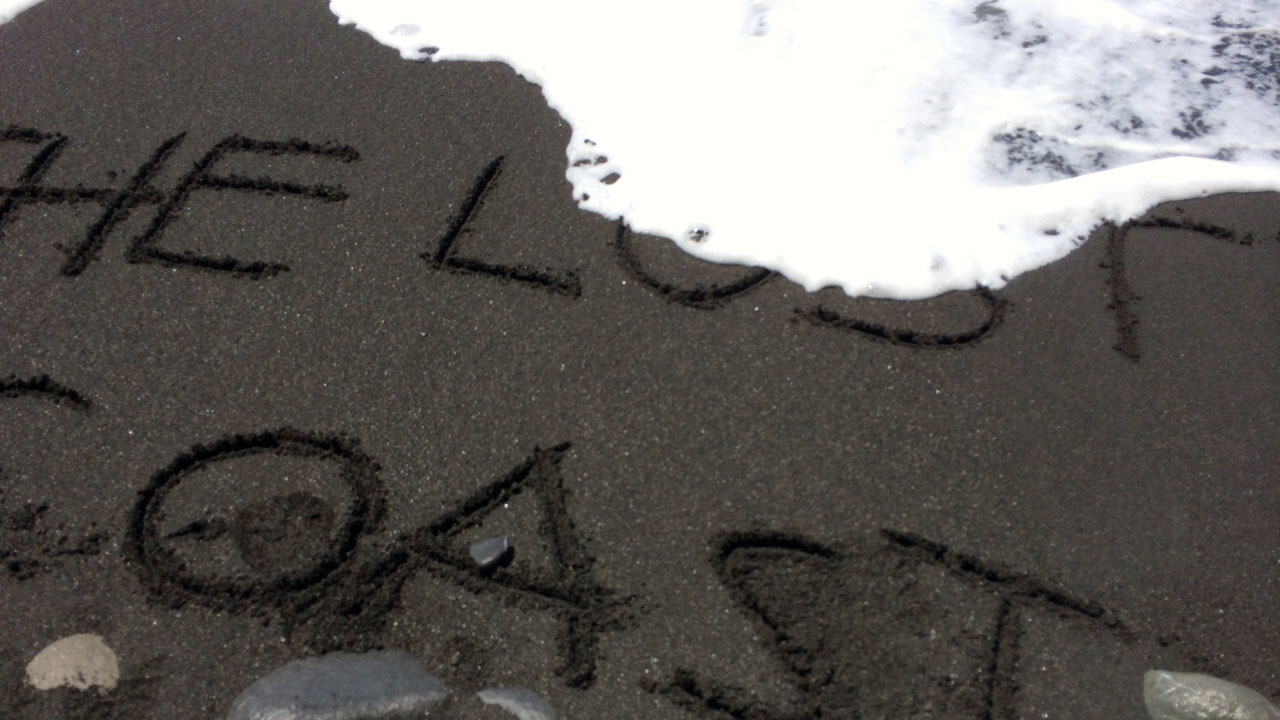
Back down on the beach, we picked our way among the cobbled stone and coarse black sand, around the rocks and ahead of the waves. Beach hiking here is tough and slow. By this time the sun had burned off all the fog and morning haze, and it while the breezes were still cool, we were working up a sweat.

At mile 5 we reached Randall Creek, which marks the north end of Spanish Flat. This grassy terrace gave us a welcome break from the tough beach hiking. Hiking on solid earth is bliss! We stopped here for lunch and setup our fly for some shade.

Spanish Flat

Just two easy miles later, we stopped to camp just south of Spanish Creek. We had the beach entirely to ourselves, and the time to enjoy it. We kicked our boots off and even took a little nap on the black sand beach. There were no emails or text messages to reply to. There were no updates to post. Just two people enjoying the sun on the Lost Coast.

Lost Coast Trail: Day Two Map

© OpenStreetMap contributors
Download file: Lost Coast Trail Day 2.gpx

Day Two on the Lost Coast: Photo Gallery

Click on any photo to view a larger version. You can also leave comments on any photo.

Early Morning Mist
Condensation on the Fly
Early Morning Light
Breakfast Burrito
Our "Trail"
Day 2 on the Lost Coast Trail
Creek
The LCT Sign
Impassable
The LCT Sign
Detour
Rocky Spine
Cabin
Look at all sides of these posts
Go through this gate
Beachfront Cabin
Still More Rock Walking
Cooskie Creek
Octopus
Geology 101
The Lost Coast
Crab
Low Tide on the Lost Coast Trail
Low Coastal Clouds
Afternoon Siesta on Spanish Flat
Spanish Flat
White Feet, Black Sand
Spanish Flat Creek
Spanish Flat
Curious Jackrabbit
Jackrabbit on the Lost Coast Trail

Shelter Cove Weather Forecast

The location could not be found.

Come back tomorrow for Day 3 on the Lost Coast Trail!

img
The Lost Coast Trail
Overview of the Lost Coast TrailOverview of the Lost Coast Trail

  • Day 1: Mattole Beach to Sea Lion Gulch
  • Day 2: Sea Lion Gulch to Spanish Flat – You are here
  • Day 3: Spanish Flat to Miller Flat
  • Day 4: Miller Flat to Shelter Cove

Filed Under: Backpacking, Trail Guides Tagged With: 6-8 miles, Backpacking, coastal, King Range Wilderness, LCT, Lost Coast Trail, Northern California, out of bounds

Like what you found here at SoCal Hiker? This site is a labor of love. Share your support for the site and help us development of new trail guides and expanded coverage -- make your next outdoor equipment purchase through our advertisers.

You can also subscribe to our weekly newsletter and follow us on Facebook or Twitter.

Jeff H

About Jeff H

I'm an avid hiker and backpacker. My wife Joan and I are on the trails every weekend. I started SoCal Hiker to share my passion for outdoor adventure.

Comments

  1. Colm O'Connor says

    September 17, 2017 at 6:30 pm

    Your description of the hiking for days one and two were identical to the recent hike my son and I did. I wish I had read your report first as we tried to scout around that headland just south of sea lion gulch and wasted time with much risk.
    Good job.

    Reply
  2. Reena Mehta says

    June 19, 2020 at 2:10 pm

    Hi Jeff

    I am reading your nicely written report. I am so excited and looks like we may be doing what you both did.

    We leave on 26th June next Friday around 5pm

    The high tide point is at 5pm. So does this mean we can still continue and miss the impass at the 2.5 mile mark?

    So we can continue and reach Sea Lion Gulch

    Let me know your thoughts

    Reena

    Reply
  3. Reena Mehta says

    June 19, 2020 at 2:11 pm

    Hi Jeff

    I am reading your nicely written report. I am so excited and looks like we may be doing what you both did.

    We leave on 26th June next Friday around 5pm

    The high tide point is at 5pm. So does this mean we can still continue and miss the impass at the 2.5 mile mark?

    So we can continue and reach Sea Lion Gulch

    Let me know your thoughts

    Reena

    Reply
  4. edi consultants says

    August 8, 2022 at 7:39 pm

    Your description of the hiking for days one and two were identical to the recent hike. I should read this article before hiking but sadly i came across this post today. Overall good post keep up the good work.

    Reply

Leave a Reply Cancel reply

Your email address will not be published. Required fields are marked *

This site uses Akismet to reduce spam. Learn how your comment data is processed.

About SoCal Hiker

Jeff on Mount Rainier

I created SoCal Hiker while preparing to thru-hike the John Muir Trail. My goal? Create guides for the best hiking and backpacking trails with enough detail to make it an enjoyable experience for you. And while I started with trails in Southern California, I’ve expanded across the west. We hike each trail to create these guides, sharing practical advice on gear and outdoor skills. Read more…

Connect with SoCal Hiker

  • 22,751 Fans
  • 11,946 Followers
  • Followers
  • 1,717 Followers
  • 5,281 Subscribers
  • 342 Subscribers
SoCalHiker was selected one of USA TODAY's 10 Best Hiking and Outdoor Blogs
Get our day-by-day guide to thru-hiking the John Muir Trail
Get up-to-day wildfire status throughout California

Products

  • Cucamonga Peak Benchmark Cucamonga Peak Benchmark $39.95
  • Mount San Jacinto T-Shirt $23.00 – $25.00
  • Señor Muir Taco Hut T-Shirt $19.00 – $27.50
  • San Bernardino Peak T-Shirt $23.00 – $25.00

Sponsors

Sponsor SoCalHiker and see your banner here

Featured Posts

Hiking Belknap Crater in the Mountain Washington Wilderness

Hiking this out-and-back route up Belknap Crater you'll traverse an other-worldly … [Read More...]

Hiking to the Simpson Reef Overlook on the Oregon Coast Trail

The Oregon Coast is rugged, beautiful and often uncrowded. This bluff-top … [Read More...]

Join Team SoCalHiker at the Climb for Heroes

Team SoCalHiker is climbing Mount Baldy again as part of the annual Climb for Heroes … [Read More...]

Lastest Comments

  • Amy Courtney on Ridgeline Trail
  • Jay Eleanor on Hiking to the Simpson Reef Overlook on the Oregon Coast Trail
  • Charles Krim on Hiking to the Simpson Reef Overlook on the Oregon Coast Trail
  • 11 Best California Bikepacking Routes | Wild Lumens on Inside Crystal Cove State Park
  • Ted Thed on Burbank Peak, Cahuenga Peak, Mt. Lee and the Hollywood Sign
Get your SoCalHiker stickers now

Get your SoCalHiker stickers!

Latest Posts

  • Hiking Belknap Crater in the Mountain Washington Wilderness October 20, 2022
  • Hiking to the Simpson Reef Overlook on the Oregon Coast Trail August 25, 2022
  • Join Team SoCalHiker at the Climb for Heroes August 23, 2022
  • Hiking the Welch-Dickey Loop in the White Mountain National Forest August 18, 2022
  • Hiking Turtlehead Peak from Red Rock Canyon National Conservation Area July 15, 2022

Recent Forum Topics

  • How to deal with accidents while hiking in the winter?
  • Warm Tips for your hiking in winter
  • Some tips for hiking.
  • Keep your body warm in the winter hiking
  • The benefits of hiking, more than you can imagine!

The Six-Pack of Peaks Challenge Series

Six-Pack of Peaks Challenge SeriesThe Six-Pack of Peaks Challenge Series gives you an opportunity to explore your world while supporting a great cause. There are eleven challenges around the country. Hike or run them at your own schedule.

Flex your adventure muscles!

Learn more here.


Search

Tags

3-6 miles 6-8 miles 8-10 miles 11+ miles Arizona Backpacking coastal dog-friendly easy family-friendly High Sierra Trail hiking Hiking The John Muir Trail hipster inspiration JMT John Muir John Muir Trail Kings Canyon National Park LA County moderate Mount Rainier National Park Muir Monday National Park Orange County Oregon out of bounds Pacific Crest Trail peak peakbagging quote scenic Sequoia National Park Sierra Nevada Six-Pack of Peaks State Park strenuous Thru-hiking Utah vista Washington waterfall wilderness Wonderland Trail Yosemite

Copyright © 2023 SoCalHiker.net · Metro Theme on Genesis Framework with WPEngine Hosting · Contact SoCal Hiker · Sitemap · Privacy Policy


Loading Comments...