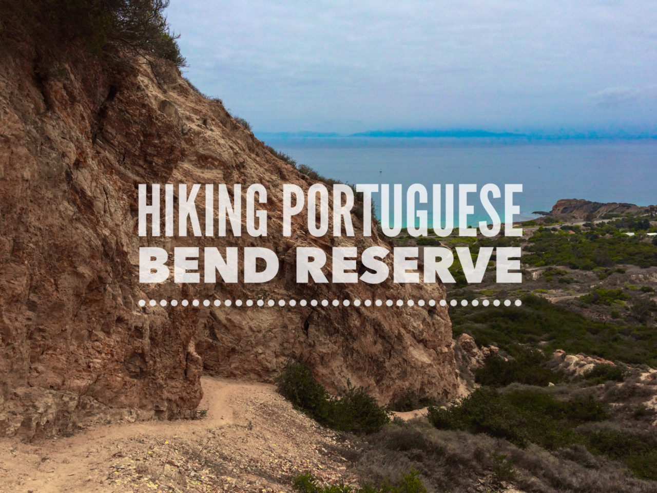
The Rancho Palos Verdes peninsula is a prominent feature in Southern California geography. It protrudes into the Pacific Ocean as if it could almost touch Catalina Island. The hills of Palos Verdes really stand out against the flat terrain surrounding it, making it instantly recognizable from a hike on nearly any hill or mountain in SoCal.

Time: 60-90 min.
Difficulty: Moderate
Elevation gain: 855 ft
Dogs: Yes
When to go: Year-round
Download the GPX
Getting There
The trail begins at the top of the park. Yep, it’s one of those inverted hikes where you hike downhill in the beginning and uphill at the end. Don’t let that dissuade you from checking it out. There is free street parking along Crenshaw Boulevard near Burrell Lane (heed the street signs). You can calculate turn-by-turn directions here on Google Maps.
The Trail
Once you’ve parked, you’ll walk to the end of Crenshaw where you’ll see a gate that marks the entrance to the park. Beyond, the road becomes a dirt double-track trail called the Burma Road Trail. This is one of many mixed-used trails in the park, shared by hikers, trail runners, mountain bikers and horses.

At 0.5 miles, bear right on the single track trail marked as Peacock Flats Trail. You may see evidence of restoration still underway from a wildfire in the park in 2009. The trail reconnects with the Burma Road Trail, where you’ll bear right and follow the broad trail as it curves south.
At 1.7 miles, we reached the junction with the Rim Trail. This trail is steep and can be slippery, but gives you an up-close view at Ailor’s Cliff — one of the most interesting geological features in the park.
At the top of Ailor’s Cliff — and right at the 2.0 mile mark — you’ll reach a junction with the Paintbrush Trail. Turn around, soak in the views and catch your breath. Then bear left on the Paintbrush Trail. The rest of the uphill will be much more gradual.

Another 0.3 miles down the trail you’ll reach the Ishibashi Trail. Follow this uphill back to the Burma Road Trail. You’ll find a pit toilet near this junction — the only break you’ll find before you reach your car.
This was a great park, and if you live in the area, it’s definitely worth checking out. It was cool to see how close Catalina Island seemed. It almost looked like you could swim there.
This trail would be an easy trail. I’ve labeled it moderate only for the steep, sketchy Rim Trail. As you can see from the map, there are lots of options in the park, so you can remix this hike to make it easier, longer or whatever you’d like.
Portuguese Bend Trail Map
More Portuguese Bend Resources
- Portuguese Bend Reserve – official website
- Portuguese Bend to Sacred Cove – A longer hike that goes all the way down to the tide pools of Sacred Cove.

Portuguese Bend Weather Forecast
[forecast width=”100%” location=”90275″]


You must be logged in to post a comment.