The Mount Wilson Trail was built in 1864 by Benjamin “Don Benito” Wilson. He had planned to use it to bring down timber for his ranch. Not much timber was cut, and the trail was repurposed to construct the first Mt. Wilson Observatory, established by Harvard College in 1889. Hiking up this trail you can feel the history.

Time: 6 hours
Difficulty: Strenuous
Elevation gain: 3,700 ft
Dogs: yes
When to go: Year-round
Getting to the Mount Wilson Trail
The trail itself begins in a quiet residential neighborhood. There is a good amount of free street parking, but bear in mind that this is reserved for residents only at night.
Park on the street near the intersection of E. Mira Monte Avenue and Mount Wilson Trail. You’ll see signs for The Richardson House and Lizzie’s Trail Inn — which also serves as a small museum. If you’re lucky, it might be open!
The Mount Wilson Trail
Head up Mount Wilson Trail, which begins as a paved residential road. You soon see the official trailhead splitting off to the left. This out-and-back trail is pretty easy to follow; if you’re heading uphill, you’re doing it right.
At the 1.25 mile mark we reached the junction with First Water — so named because it’s the first place where you can get water. There is a junction here that leads down a short spur trail to the creek, where there is in fact water running most of the time. I wouldn’t rely on this as a water source. As with all my day hikes, I brought enough water to fuel me for the entire day — three liters in this case.
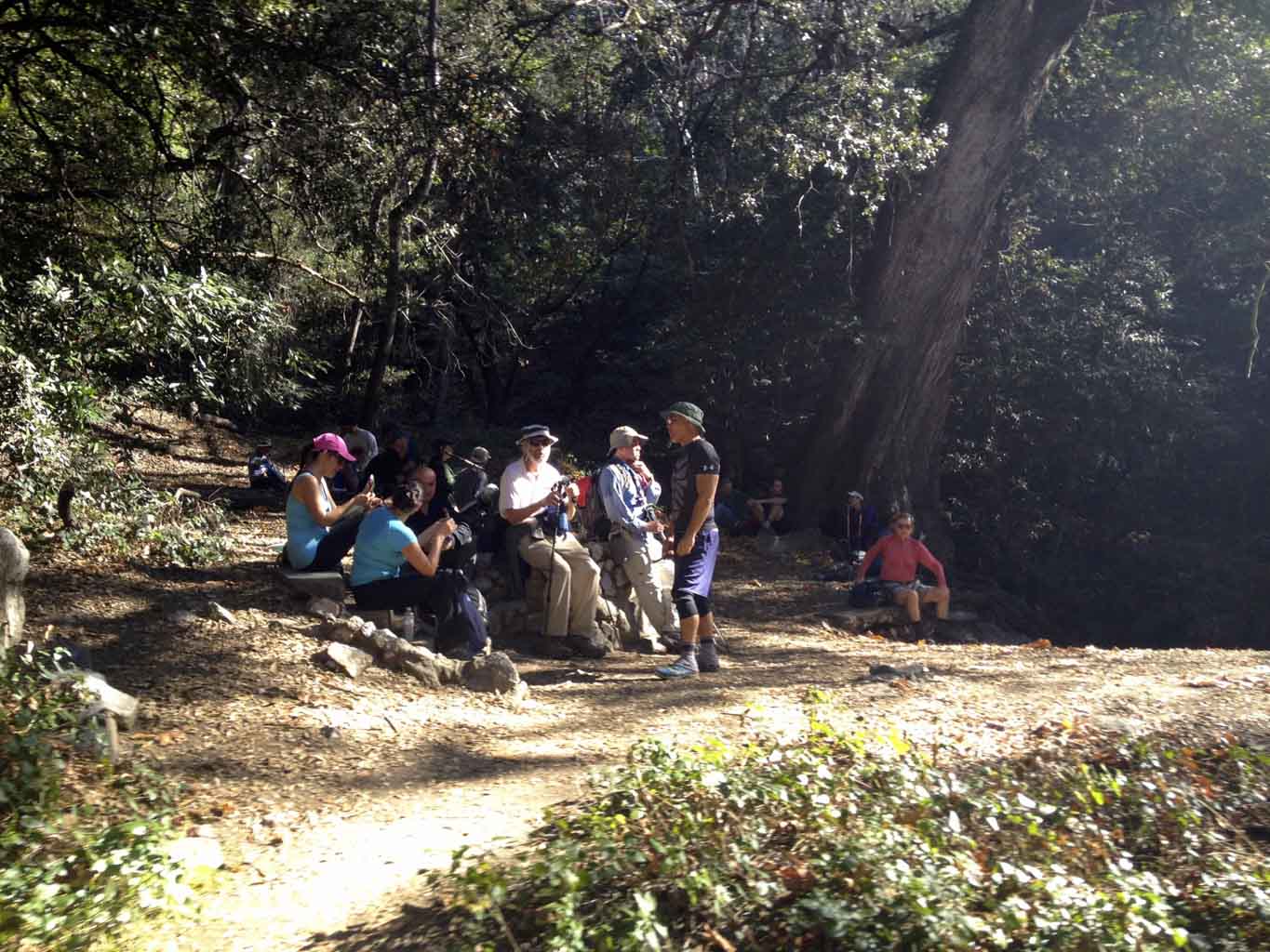
The trail continues to climb up the Little Santa Anita Canyon, and soon the views stretch out over the LA basin. At 3.25 miles we arrived at Orchard Camp. This was roughly the halfway point up to the summit of Mt. Wilson, earning it the nickname of the Halfway House.
At one time there were a number of cabins and buildings here to support the construction of the Mt. Wilson Observatory. Today all that remains are some concrete steps and fragments of the foundations. But it’s still a good place to take a snack break and catch your breath.
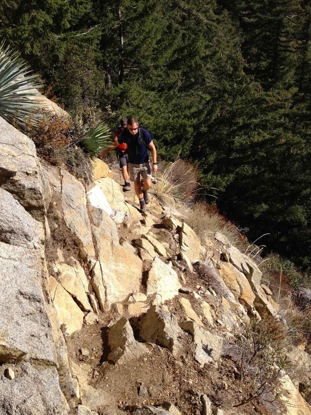
The climate changed as we climbed, with more pine trees covering the rugged slopes.
Finally at the 5.1 mile mark, we reached what is often referred to as The Bench. Why? Because as you reach the junction at Manzanita Ridge, you practically hike straight into an actual bench. From this junction it’s another 2.4 miles to the summit of Mt. Wilson.
The views here are fantastic. It was a beautiful, clear day and we could easily see the Pacific Ocean and Catalina Island many miles away.
Although the most challenging vertical gain was behind me, this was my turnaround point. The shorter winter days meant that if I wanted to be sure to return to my Xterra before dusk, I’d head back now. Keep in mind the time — know when it gets dark, and plan a turn around time.
As you will see in the elevation profile below, this out-and-back hike is mainly uphill all the way to this point. I was glad to have the climbing out of the way, and “coasted” downhill, retracing my steps down the Mt. Wilson Trail back to the trailhead.
Mount Wilson Trail to Manzanita Ridge Map
Photo Gallery
Click on any photo to view a larger version. You can also leave comments on any photo.
Mt. Wilson Trail Tips
- Bring plenty of water. This can be a dry, hot trail especially in the summer. I carried 3 liters of water and had some (but not much) left over at the end of the hike.
- Calculate your turnaround time. Know when it gets dark, and when you want to get back to the trailhead. Figure out how much time you have to hike, divide it in half. You now know your turnaround time. If you don’t make it as far as you hoped, don’t sweat it. The mountain will still be there next time.
- Carry the 10 Essentials. Remember to bring layers. It can (and does) snow on Mt. Wilson in the winter!
- No special permits are required to hike this trail, but always let someone know where you are going and when you expect to return.
Mt. Wilson Trail Resources
- Mt. Wilson via Chantry Flats – An alternate 14 mile loop trail up to the summit of Mt. Wilson
Sierra Madre Weather Forecast
[forecast width=”100%” location=”91024″]
looks awesome! we’ve done Wilson via Chantry Flats couple years back, might give this one a shot 🙂 hows the difficulty and scenery compare to that route? Thanks! love reading your blog as usual!
This route is comparable to the Chantry Flats route. It’s a little shorter, and it’s an out-and-back, so factor that in. The scenery was nice, but there is more water via the Chantry Flats route (particularly along Winter Creek). If water is flowing (i.e. after some rains), I might prefer that option. But I liked the historical aspect of the Mt Wilson Trail.
Discovered this trail last year, have gone up it three times. Love the change in climate as you go up.
it’s nice. get huge idea about your post… now it’s very easy to some newbie who want to hike………..
Elevation gain is completely off, the total from TH to summit is 4,500 feet elevation gain. To the bench is probably about 3,700. The only established trail with the consistency of 1 mile for 1K gain for over 5 miles in the San Gabriels is the Baldy Village to summit trail, a lot steeper then then one.
David, you’re right. The 5,900 came from my Garmin Trex HC-generated GPX file for the route, recorded on my hike. It reported that the lowest elevation was 964 feet and the highest 4,462 feet. The difference between these is 3,498 feet. There is some up and down that would add to this, but not another 1000+ worth. I suspect the difference comes from inaccurate GPS readings.
I’m not exactly sure what the real, total vertical gain/loss is, but I suspect your 3,700 is a better figure. I’ve updated the post accordingly.
Thanks for the feedback!
Hello :~)
If I am taking the Six Peak Challenge, would you suggest this route or the Chantry Flats Route?
Thanks!
~Laura
Hi Laura! I would recommend the Chantry Flats route. Cooler and more shaded. But start early! The parking area fills up early.
Hi there, if I’m reading this correctly, does it mean that going up the Mt. Wilson Trail to the observatory is a total of 7.5 miles (5.1 to the bench and then an additional 2.4 to the summit)? Which means a round-trip of 15 miles? I’d like to hike to the summit and am trying to decide between this and Chantry Flats. Want to do whichever is shorter and easier. 🙂
We hiked Mt Wilson today via Sierra Madre. When it’s said it is a steep ascent, it really really is! UPHILL! Sometimes it felt we were going straight up. Just when you think Manzanita Ridge is around the bend…….. It’s not……just some more going up! It was a great test hike for our boots, socks and backpack weight. The bench you come to at Manzanita Ridge is a great reward. We did not make it to the top of Mt Wilson and instead went back down, which was also a tough and steep hike down. We left trailhead at 8am and made it to the ridge at 12 noon. We left the bench at 12:30pm and made it back to the street at 3 pm with aching feet and sore thighs. It was a great preparation hike for our Machuu Pichuu trip Inca trail hike. Thanks SoCal Hiker.
5.1 miles to the bench and another 2 miles to Mt Wilson…..and then back
Hi Jeff,
How far away is the summit (top of Mt.Wilson) from the bench? Is there an option to make this a loop – TH to bench to summit, returning to TH? We’re planning to do this mid-December – should we expect snow?
Thanks,
Jai
I just did this trail. I had intended to go all the way to the Observatory. I thought to myself, “I’ll have a bowl of chili when I get to the top.” Well, about 1.5 miles up I realized I forgot my wallet. So no chili awaited me at the top. All I had was a Clif shot and three coffee candies. Up Up Up. Did I mention I had a time limit? I left at 9:30-10:00 and had to be back to Pasadena at 3:30 to pick up my daughter. So I was walking fast. Up Up Up.
I got to the “Orchard” and was dismayed to find it was only half way. I realized then I was under provisioned and would run out of water. That’s OK. I’ll fill my bottle at the Observatory. So I continued. Up Up Up. I got to a point that I figured was about a mile or so to the summit and I met one of only two hikers I saw on the trail (booth were coming down). I asked him how far to the top? He said 2.5 miles. Dismay.
I made it to Manzanita Ridge and my legs were getting wobbly. I could not stop to rest because the flies would swarm and start biting. I had to keep moving. So my thought was 2 miles up with no water or 5 miles down? No food and no money to buy anything at the top. I was too tired to contemplate any more Up Up Up so I headed back down.
Close to the bottom there was a fork int the trail that I had not seen coming up. Of course I took the wrong trail which prolonged my ordeal. If the switchbacks dead ended and I had to climb back up I was gonna die (or so I was thinking…mind you now it was about 2:30 and HOT). Luckily it joined the main trail and I made it back.
So, like he said- brings lots of water. And give yourself time. It was beautiful.