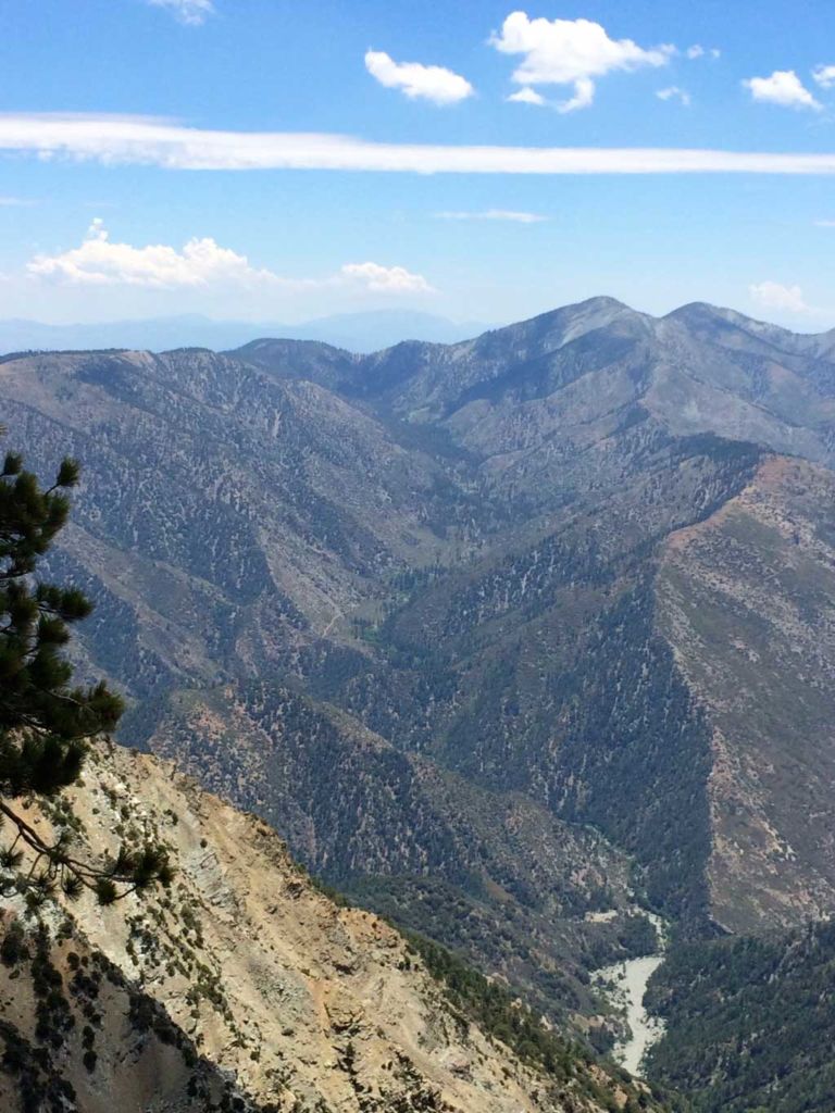
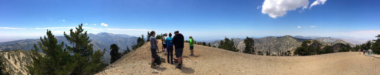
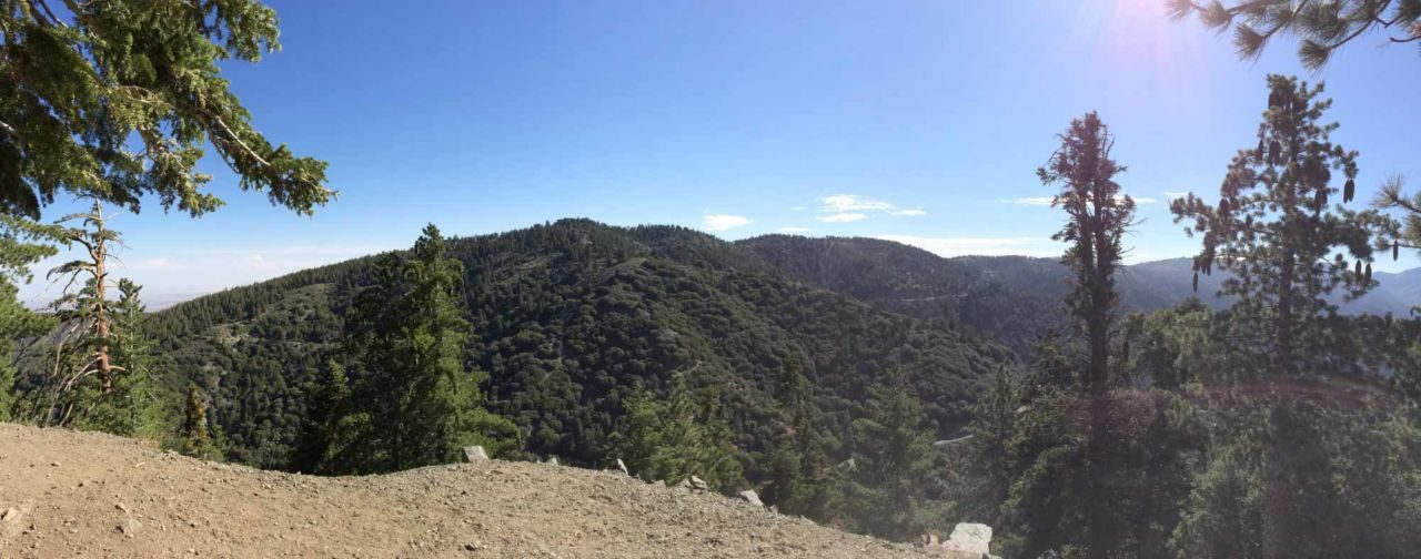
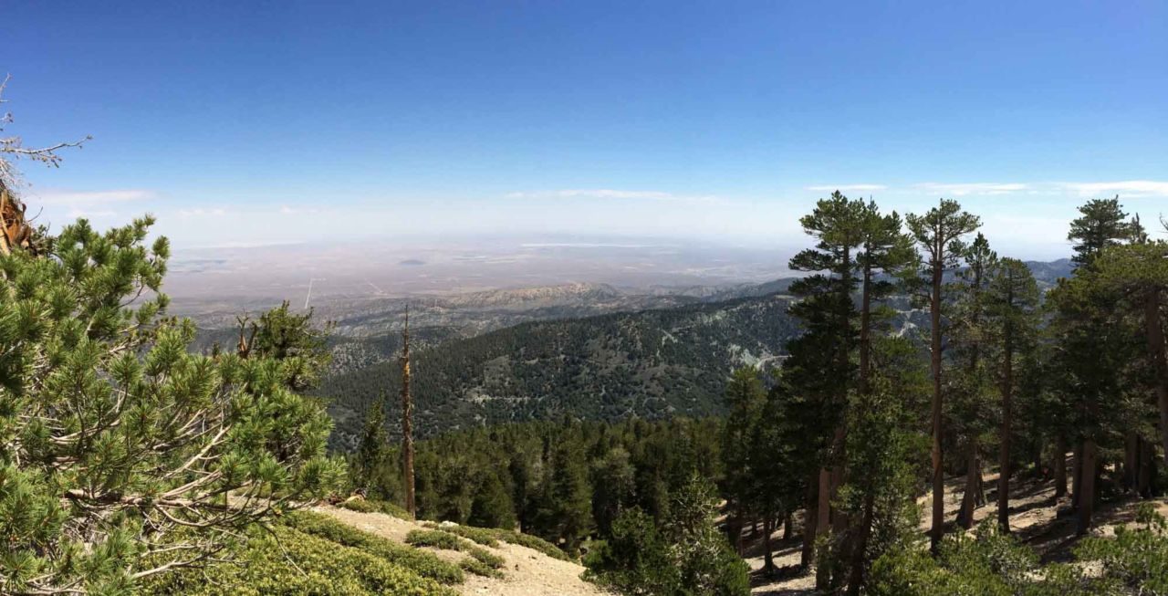
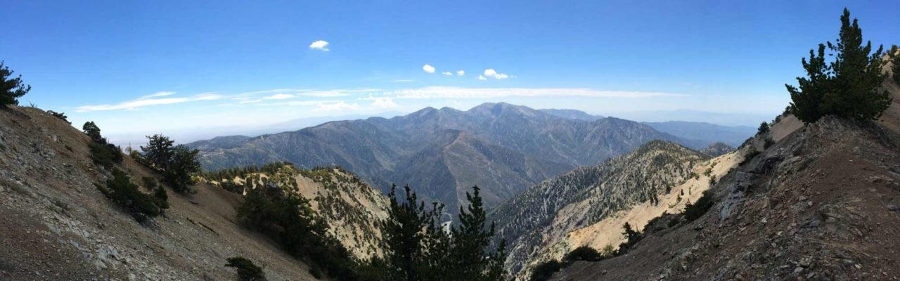
The sky was a deep, cloudless blue. The only sounds came from the occasional wind through the sparse trees and the crunching of my boots on the trail. I had just climbed nearly 3,000 vertical feet to the summit of Mt. Baden-Powell (9,406′) — one of the highest mountains in the San Gabriel mountains. The stunning 360° views made those 40 switchbacks worth climbing.

Distance: 8.7Â miles total
Time:Â 4 hours
Difficulty:Â Strenuous
Elevation gain: 2,900Â ft
Dogs:Â Yes
When to go: June-October
Download the GPX
Getting to the Vincent Gap Trailhead
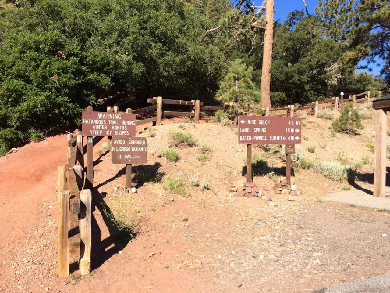
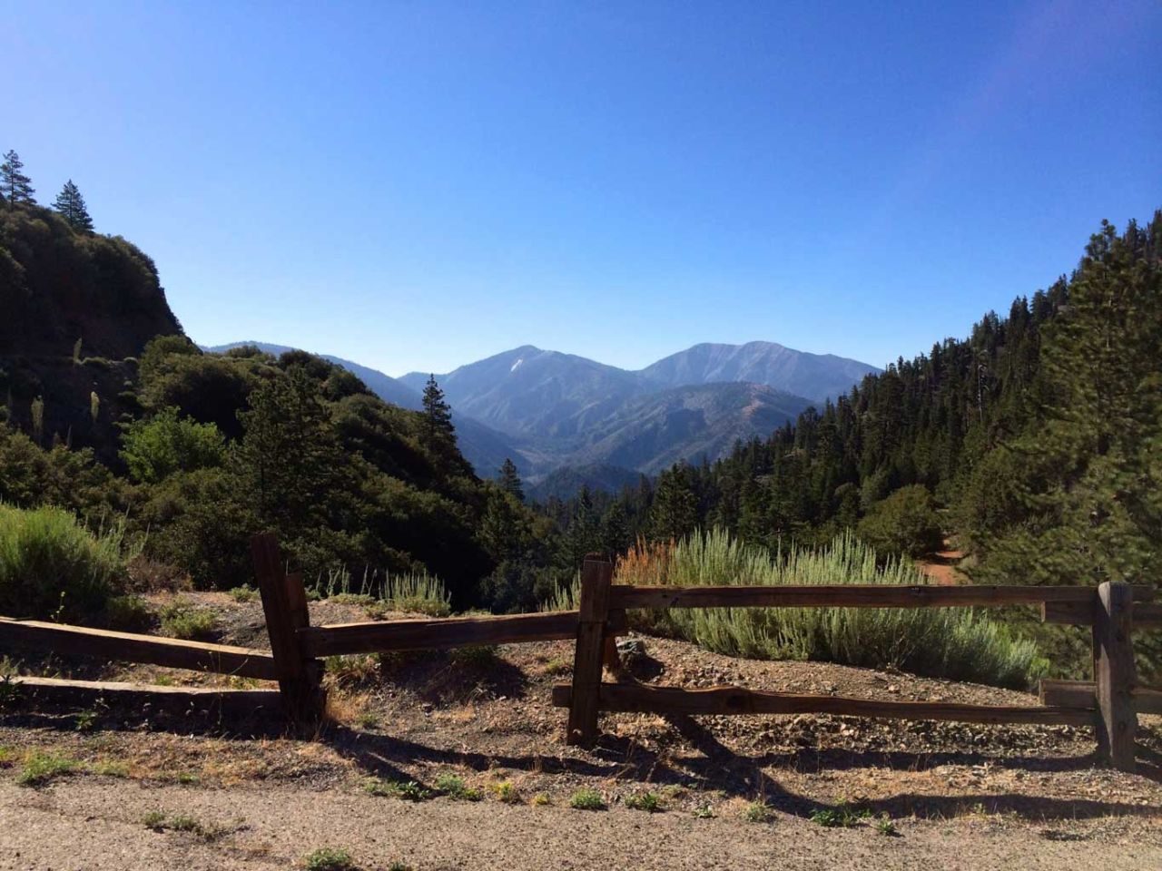
Vincent Gap is a popular trailhead a few miles outside of Wrightwood on Highway 2. There is plenty of parking and there are pit toilets. The Vincent Gap is on the backside of the mountains from the LA basin, so it takes some time to get there, but it’s worth it. Get your driving directions.
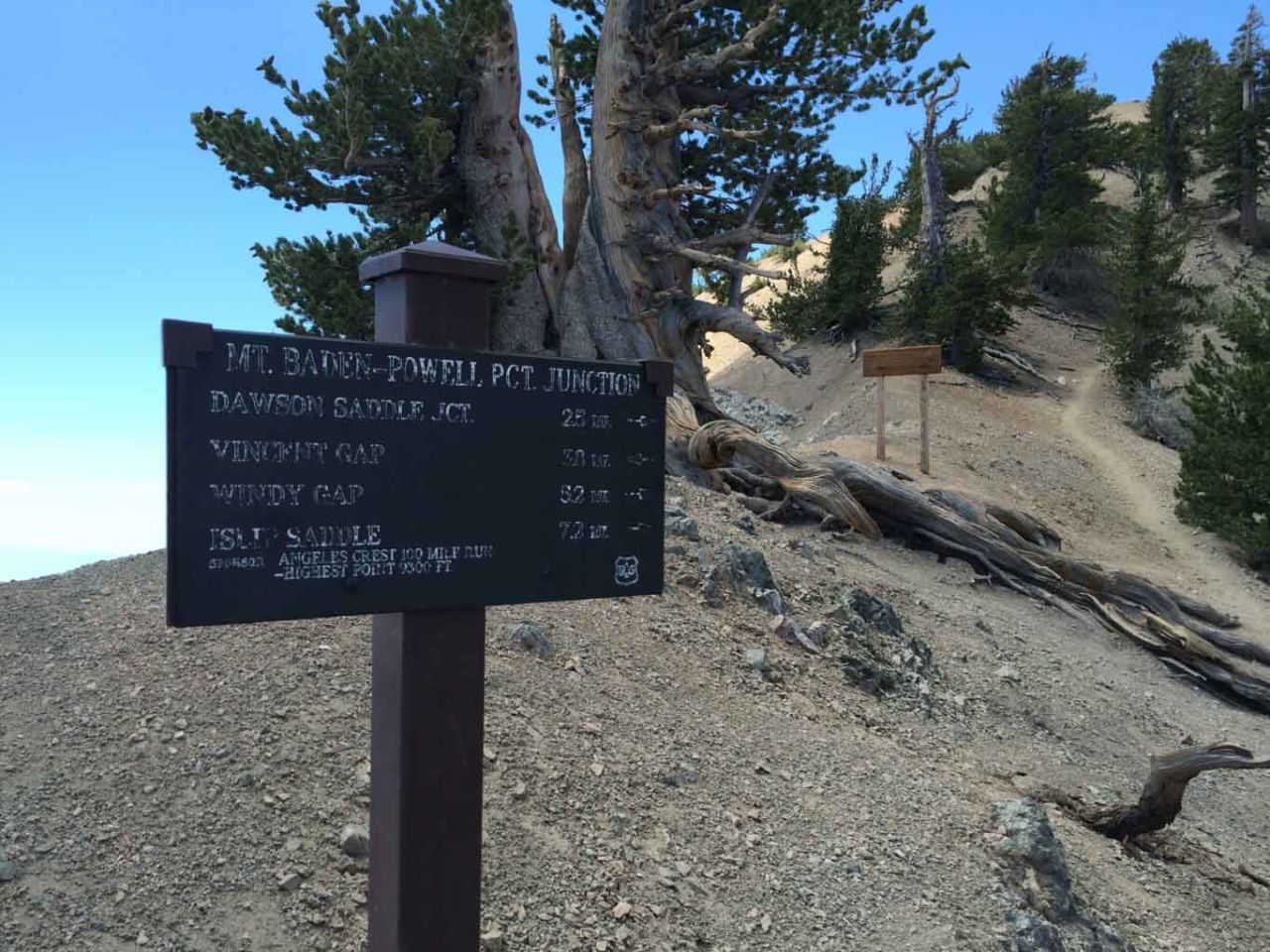
Vincent Gap to Mt. Baden-Powell Trail
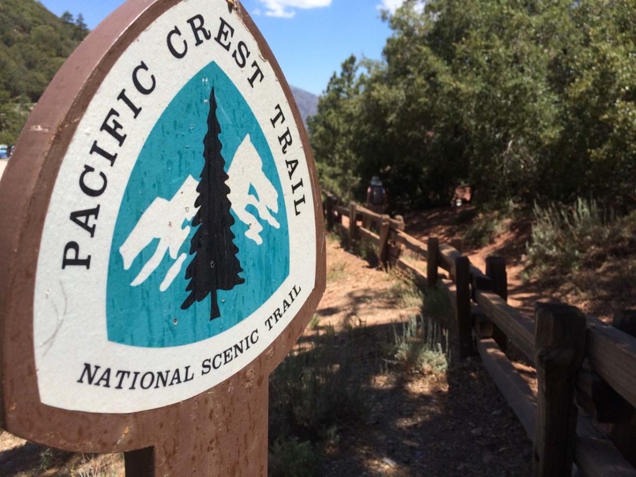
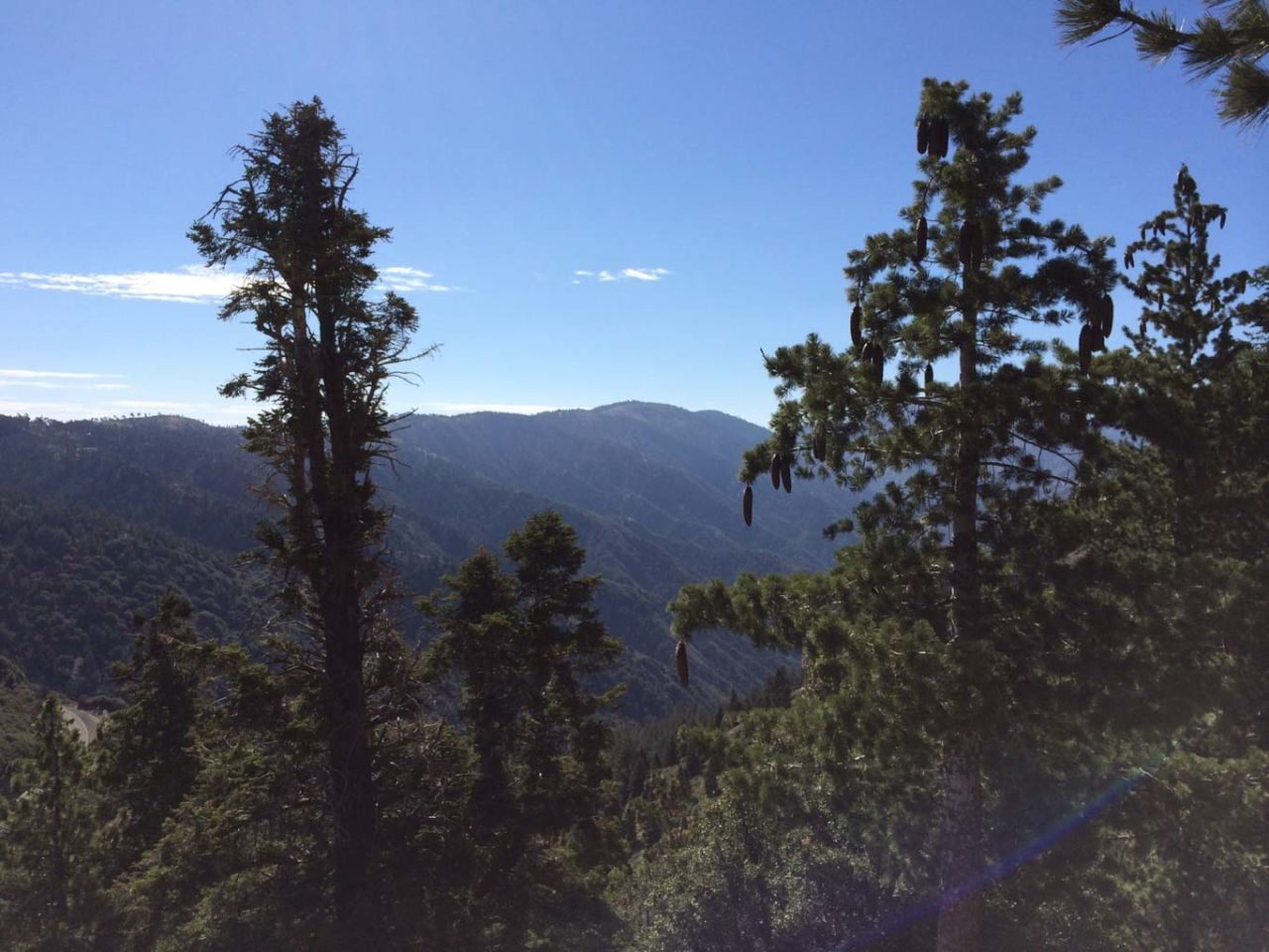
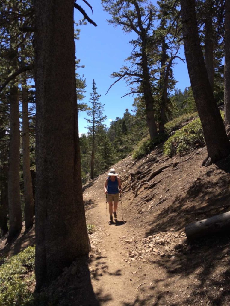
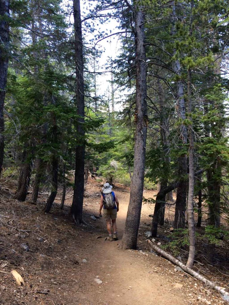
The trail begins at the west end of the parking lot, and immediately begins a relentless ascent up the north ridge to the summit. You are actually hiking a section of the Pacific Crest Trail — the 2,600 mile trail from Mexico to Canada.
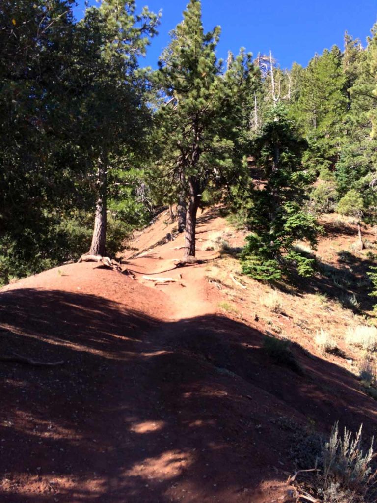
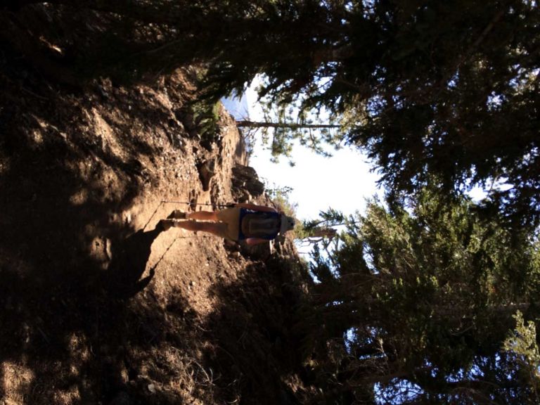
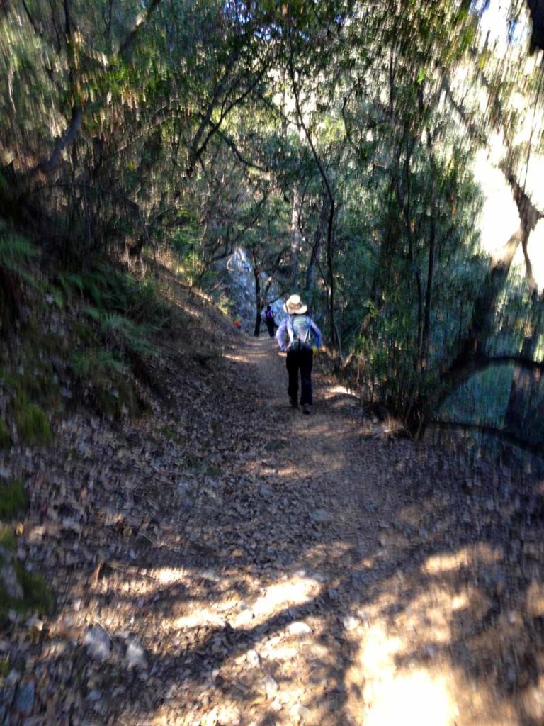
The trail follows a well-engineered series of switchbacks through shaded forest. And just at the moment when you think “Wow, I could use a breather,” this bench appears.
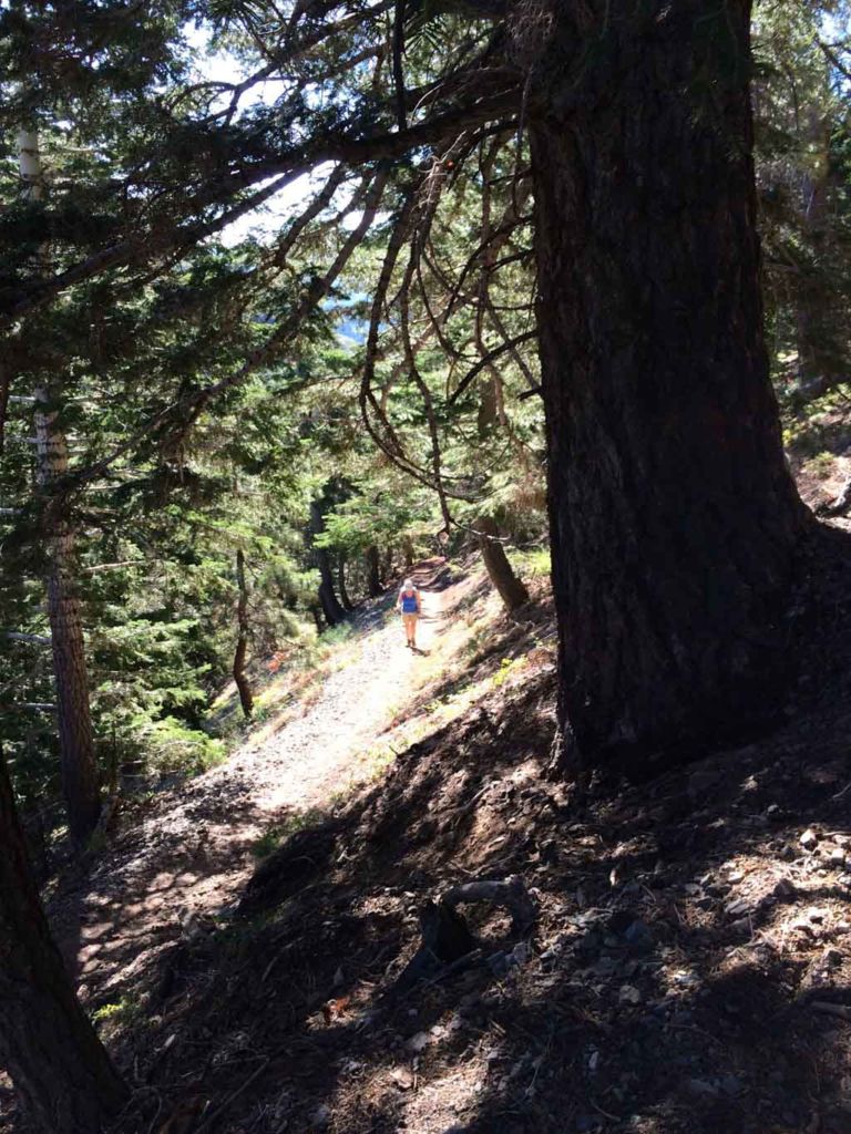
As you continue climbing the forty switchbacks, you’ll see a spur trail that leads 200 yards east to the dribbling pipe known as Lamel Spring.
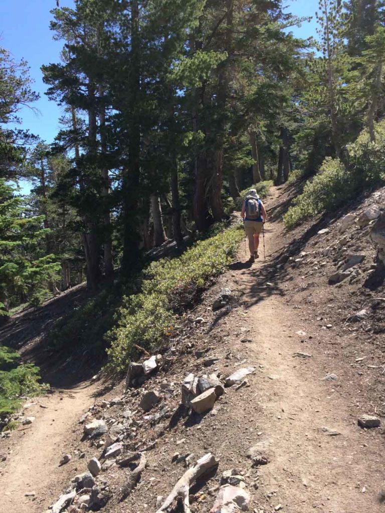
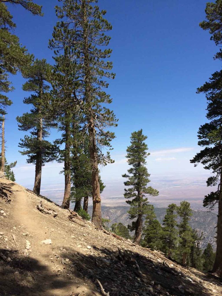
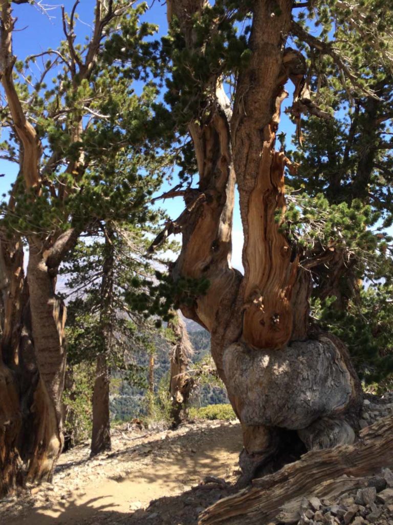
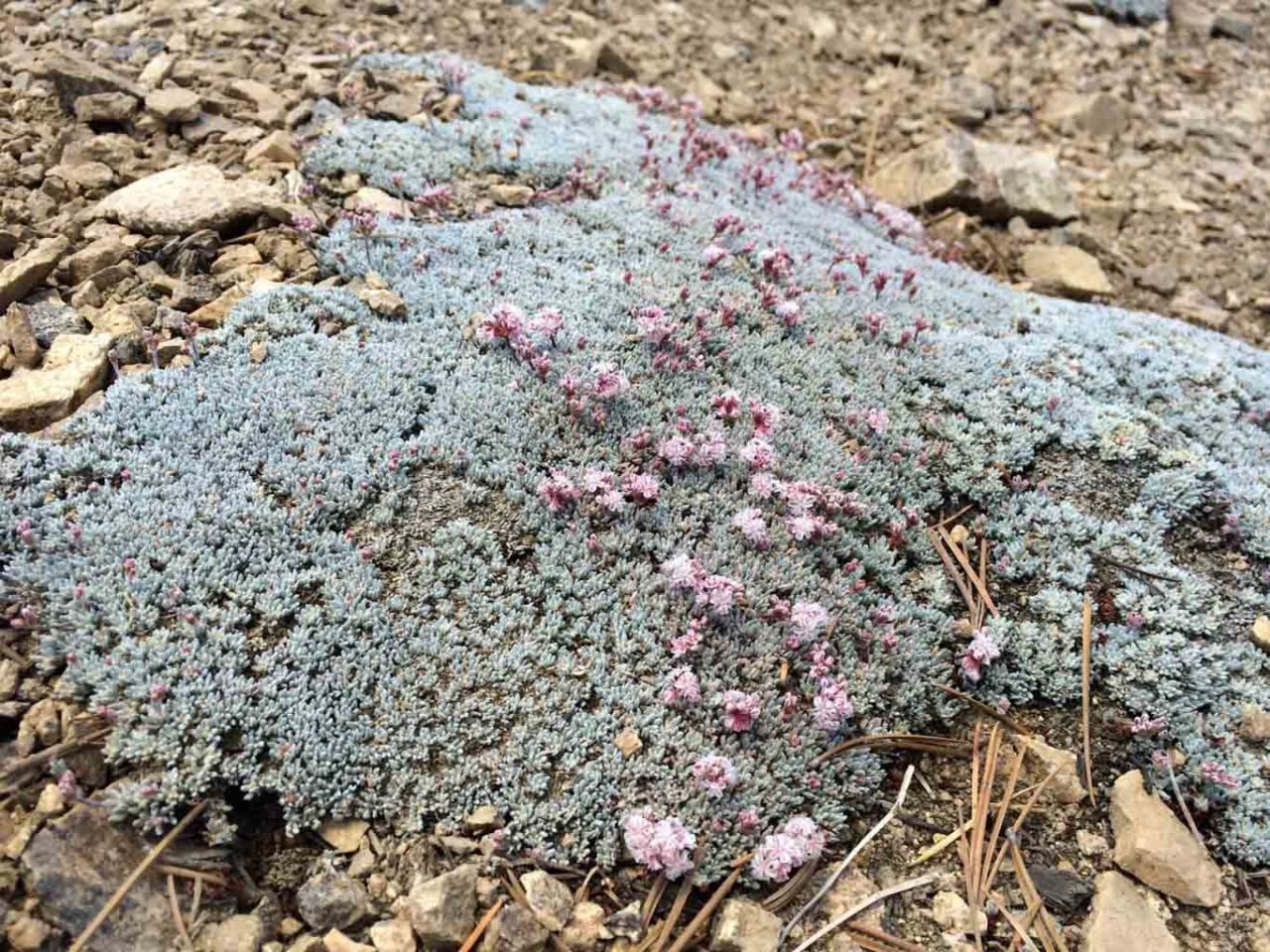
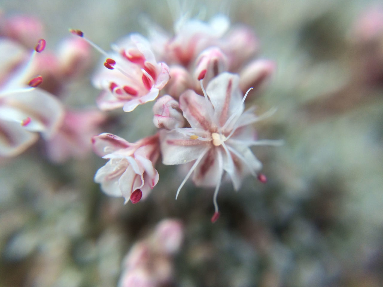
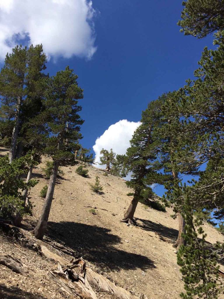
Hiking this trail you can watch the climate zone change as you gain elevation. The thick forest thins out, and closer to the summit are replaced by weathered and twisted limber pines.
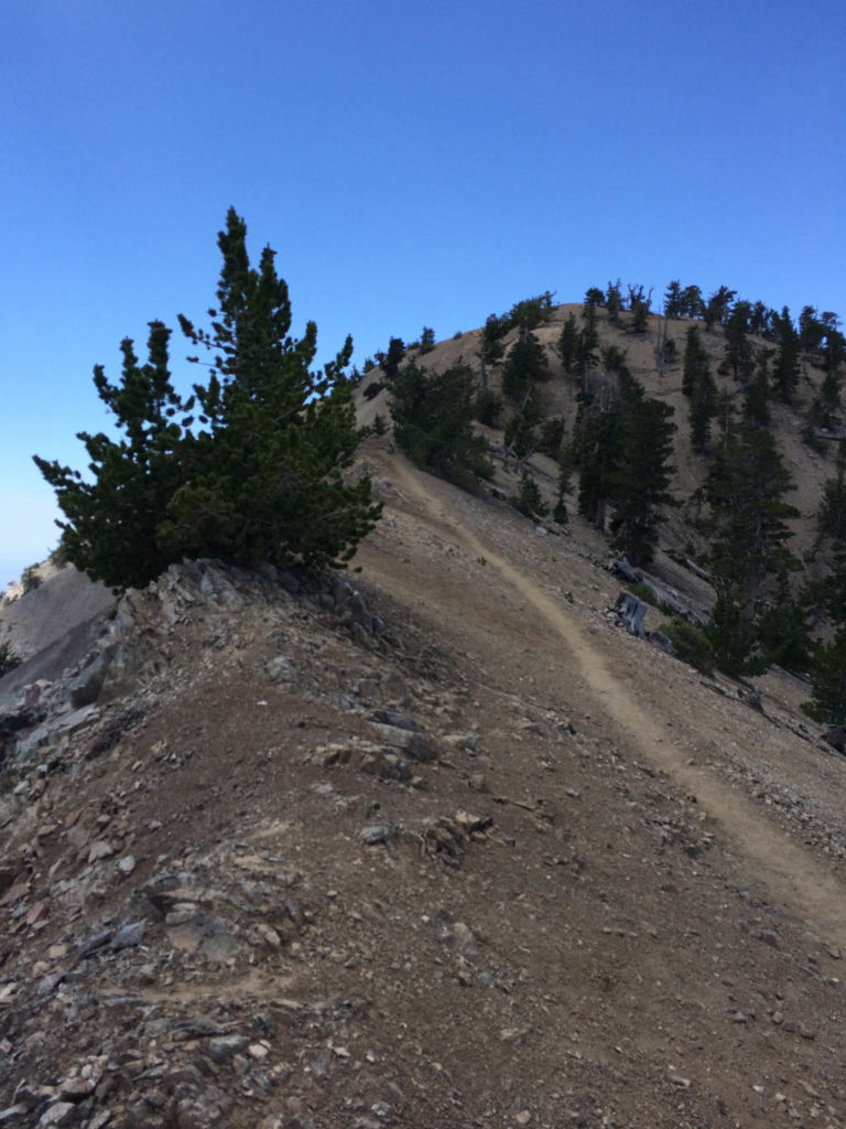
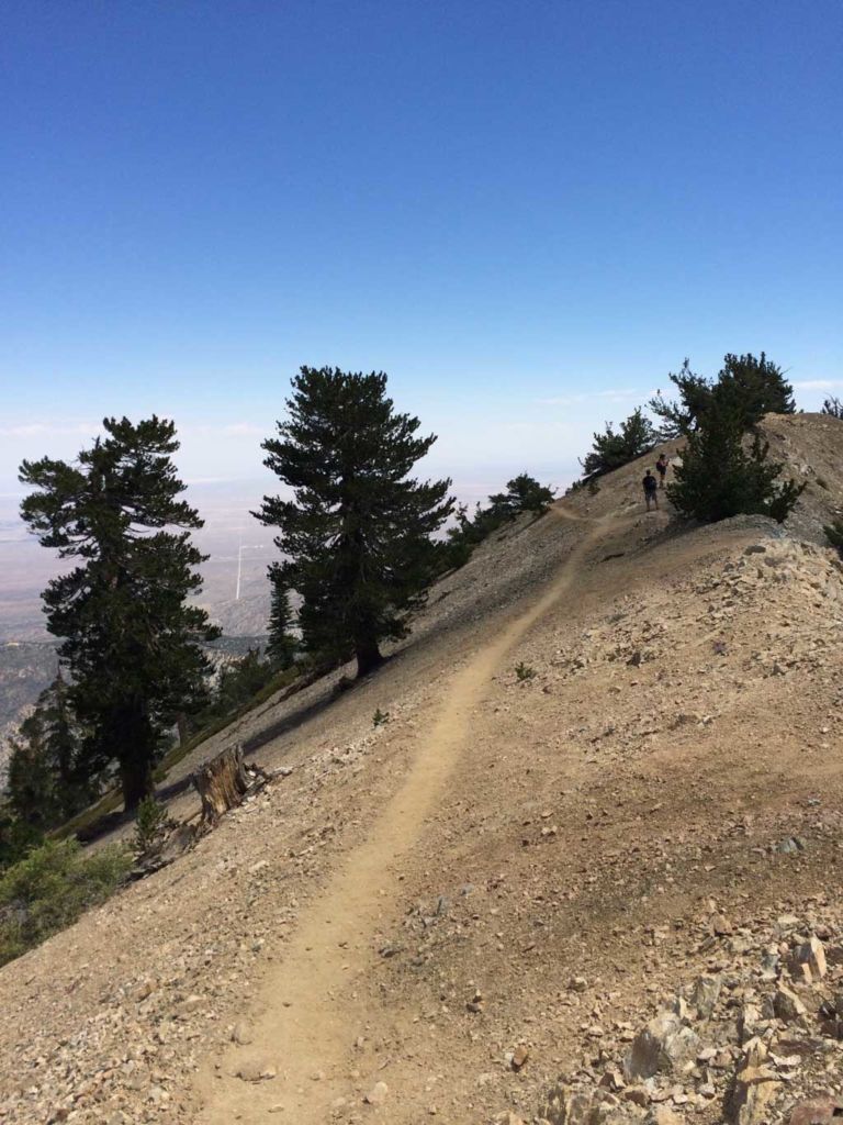
When you reach this ridge line, you’re almost to the summit. The trail here skirts the top of the ridge, with steep slopes in both directions. When covered with ice and snow, this can be particularly treacherous, as you can imagine.
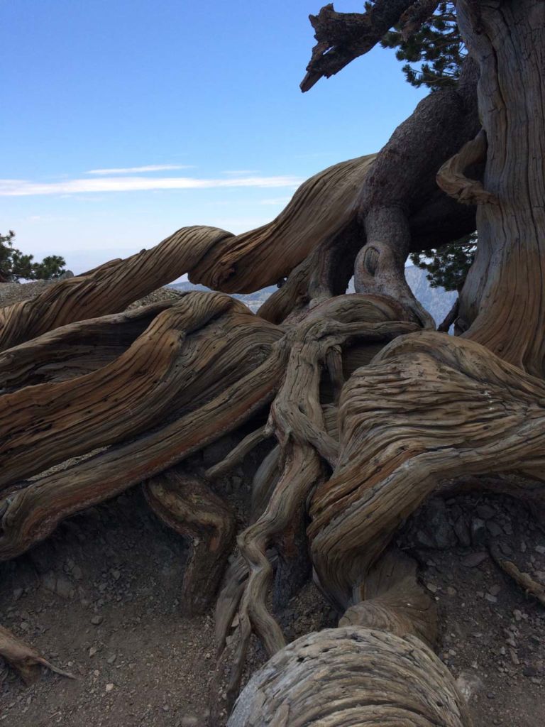
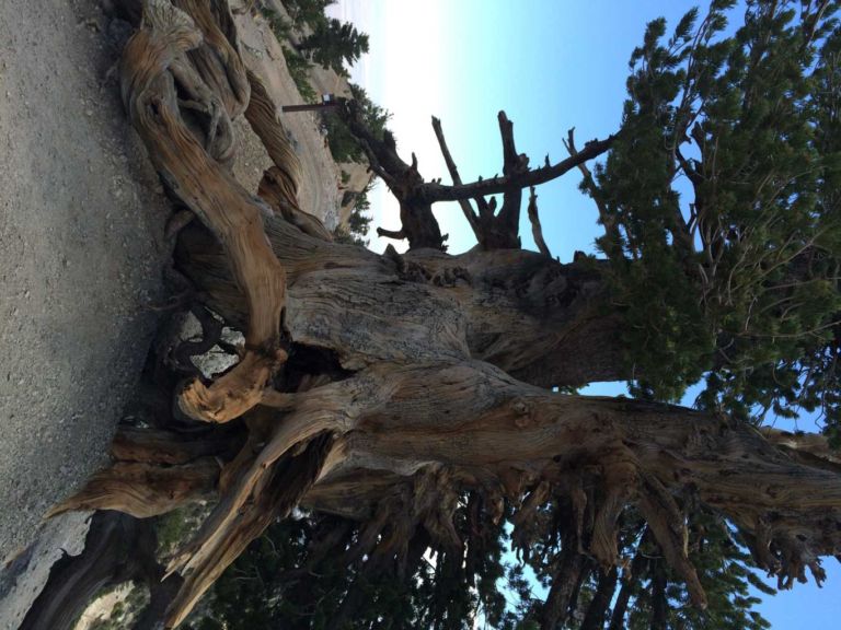
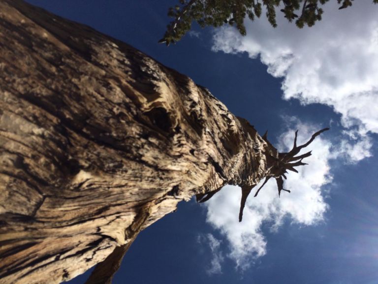
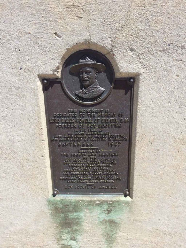
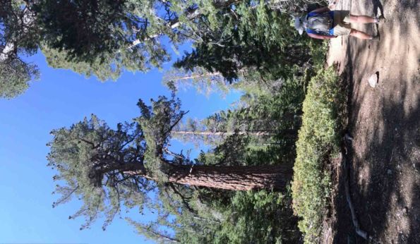
On the far end of the ridge, but before the final climb to the summit you’ll see the gnarled and twisted roots of the Wally Waldron tree. This 1,500 year old limber pine is said to be the oldest in the San Gabriel mountains, and named for a noted Boy Scout leader and volunteer.
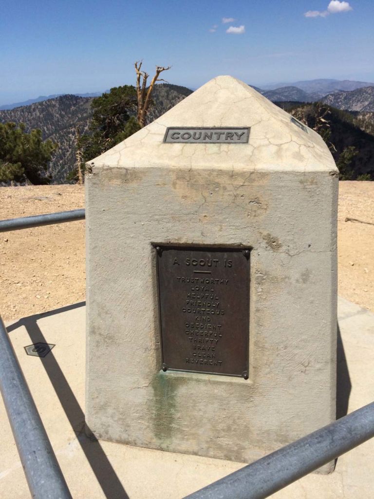
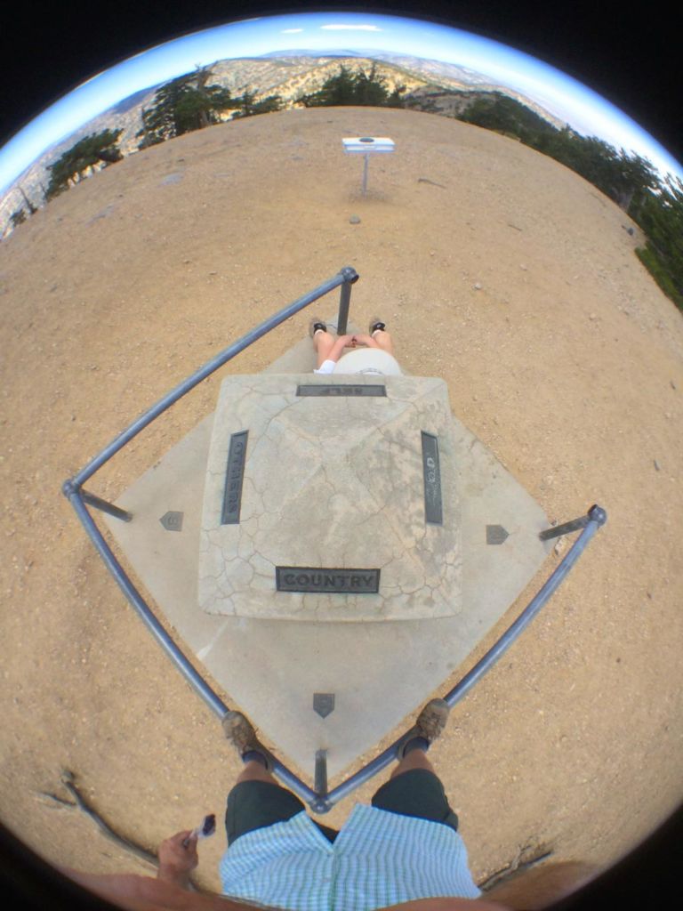
One last push and the rounded summit of Mt. Baden-Powell comes into view. When you see the monument, you have arrived.
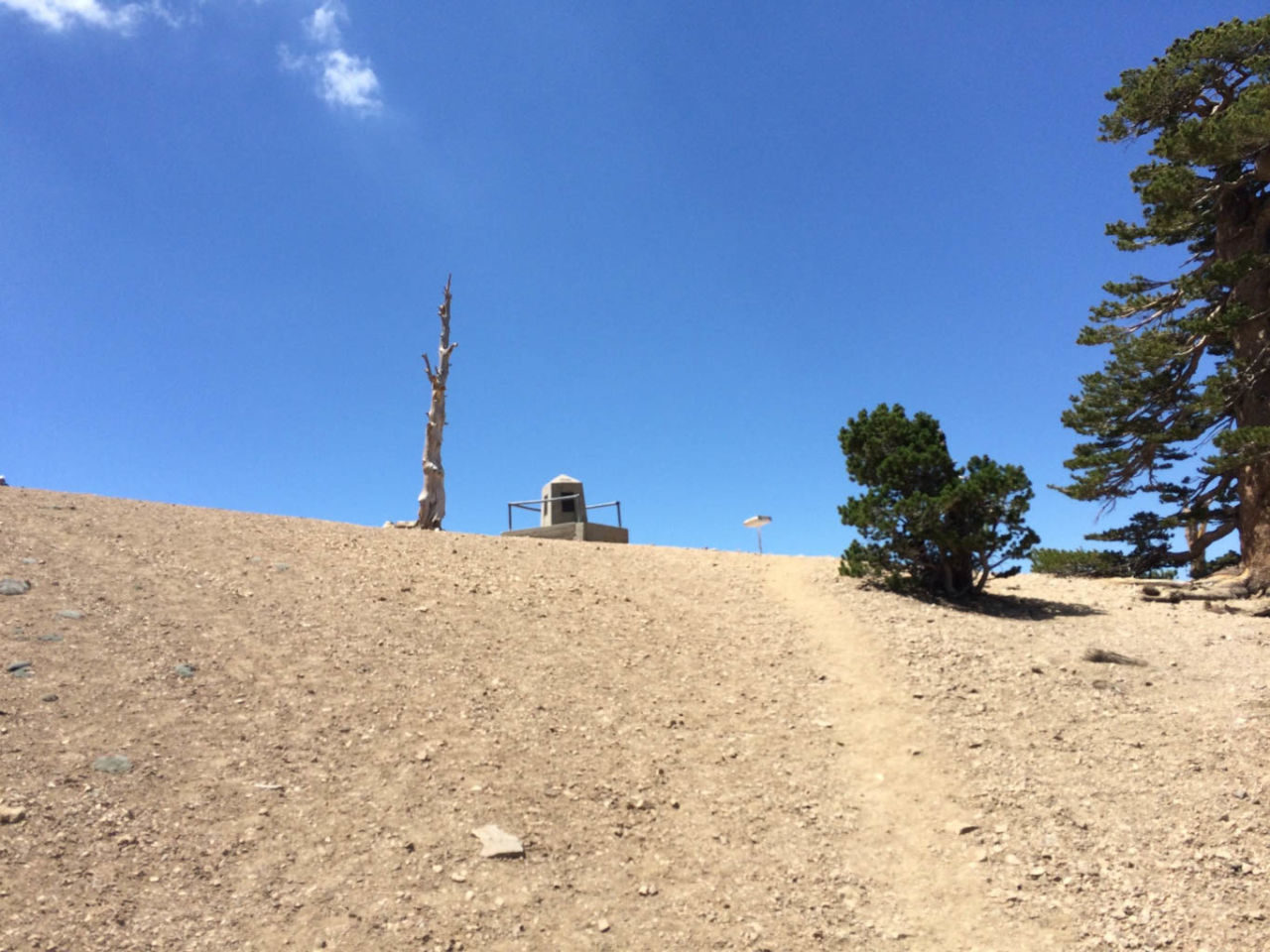
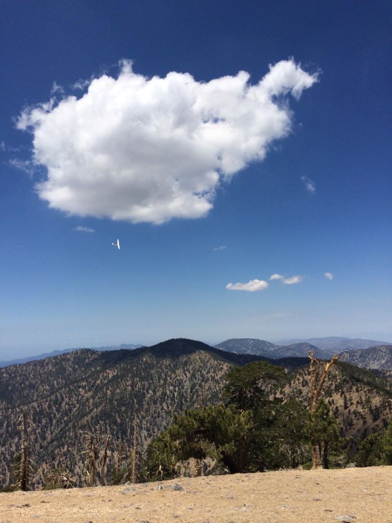
There summit itself is quite exposed, but there are a few clusters of trees where you’ll find shade and a great spot for a lunch break. When you’ve had your fill of the views, retrace your steps to Vincent Gap.
Hiking Mt Baden-Powell is a challenging hike, a great workout with rewarding views. Hike this!
Mt. Baden-Powell Trail Map
PRO TIP: I track all my hikes using GaiaGPS. It’s the best solution for staying on the right trail, it works even when you don’t have cell service, and there are versions for iOS and Android. The app is free, and you can get a discounted membership for maps here.
Photo Gallery
Click on any photo to view a larger version. You can also leave comments on any photo.
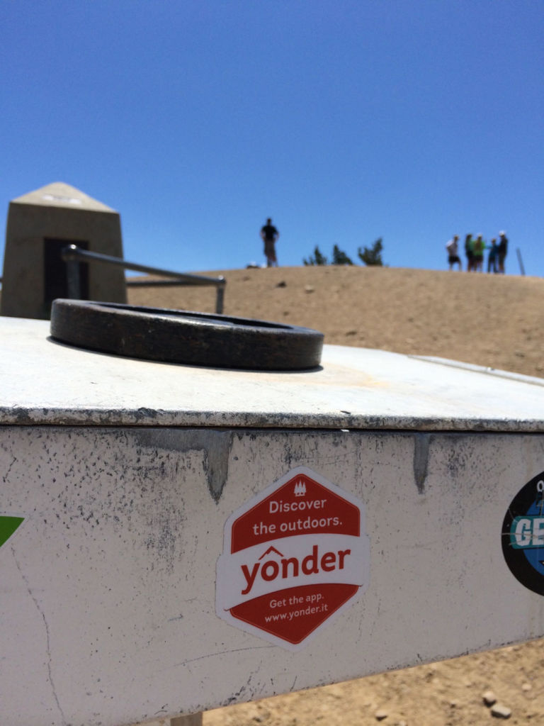
All of these photos were from our hike on July 5, 2014.
Mt. Baden-Powell Tips
- This trail can be hot. We hiked this on a moderately warm day, but started early. By afternoon, I was glad that we were headed downhill and not up.
- Bring the ten essentials, and carry 2-3 liters of water. I carried 3 liters and drank it all by the time we finished.
More Mt. Baden-Powell Resources
- GPS user? Download the GPX file.
- After the hike, eat at the Grizzly Cafe in Wrightwood
Mt. Baden-Powell Video Fly-by
Wrightwood Weather Forecast
[forecast width=”100%” location=”Wrightwood, CA”]
Is it 8.7 miles round trip or one way?
Ronnette, that’s 8.7 miles round trip. The GPS on my iPhone measured it closer to 9.5 miles, but the official distance is 8.7.
Do you know which trail this is on AllTrails? Thank you 😊
Hi Linda: Here’s a link to the trail on AllTrails: https://www.alltrails.com/explore/map/map-b53b3a3–49?u=i
Or search for Mount Baden-Powell via Vincent Gap
Are permits requires for either the hike or for parking?
I need to get down to SoCal and do this hike! My friends and I are trying to get our own outdoor blog started in Utah. I’d love to share it with you!
http://ruggedutah.com/
Hi! Are permits required for this hike? How are the peak conditions at this time – will we need snow equipement/gear?
Philip, permits are not required. Peak conditions can be snowy and/or icy this time of year, but current forecast shows above freezing temps at the summit. I would have trekking poles and micro-spikes with me, as there are likely some patches of snow even so.
Just did this today. Had to turn back, deep snow impossible and risky without crampons. The main trail is covered with snow causing significant confusion. A snow axe is highly recommended, crampons/microspikes mandatory.
Hiked up to BP this past Saturday, 3/28/15, from Vincent Gap. 1′-2′ of snow about quarter mile before the Wally Waldron Tree and for another 25-50 yards past the tree. Some hikers turned back, some carefully took their time and watched their steps as they hiked off trail to get to the top. I opted to do this, too, and was so glad I did. Although I prefer the Dawson Saddle approach, I find it more scenic, ACH was closed at VG so 40 switchbacks it was. In any case, this turned out to be well worth the visit.
Wow another great hike. Thank you so much for the write up. I enjoy reading your blog before hiking and also after I return home.
We climbed Mt B-P on Sunday 11.8.15. The road is closed after Vincent Gap. There is a dusting of snow on the trail from 7800 ft to the Wally Waldron tree. Not a lot, but it makes the trails slick, especially early in the day. Bring your poles! You will be glad you did – we forgot ours. We headed out around 8:00 and there were just 10 cars in the parking lot. There were not many hikers in front of us to disturb the ice, so the trail was slick in spots as we climbed. There was just one other hiker at the top. Coming down, we passed lots of hikers. Between hikers on the trail and the increased temperatures, the trail down was not as slick.
The view from the summit is absolutely stunning. We are new to hiking in S.Cal. Each time we climb another peak (we’ve done the ‘six pack’), we think, ‘wow, this is it, this is the best view & hike ever.’ Mt B-P exceeded our expectations. It might be our new favorite.
Your information was helpful. I didn’t realize the mine trail was nearby, somehow missed it. Next I’d like to do both.
We did this hike yesterday 11/13/2016. i have to say it was rather challenging. the moment you get on the trail you are going up hill. the switch backs are very short but gain elevation fast. the summit is perfect though 360 degree views. nice place to rest and eat some lunch. only took us 6 hours to complete.
Any idea of the conditions up there this year? I know there’s a ton of snow in the Sierras, wondering if that’s the case in the San Gabriels too. Thanks!
Yes, there’s snow in the San Gabriel Mountains, too! Right now Mt Baden-Powell would not be considered a hike, but a winter mountaineering route. Here’s an Instagram shot from one day ago.
https://www.instagram.com/p/BRPl3BtByiQ/
Highway 2 (from the east) is temporarily closed at Grassy Hollow due to a sinkhole. This adds (4-6 miles round trip) to the hike.
Brilliant page! I hiked this trail and you have so accurately described the hike and experience! Awesome pay off at the peak! Killer getting past the switchbacks but worth it.
If you have never done a hike like this at altitude it might take you as long as it took me this morning which was 4hrs, 45 minutes and 5 hours driving back and forth from Long Beach via the 15 fwy for a 10 hr day
John,
I find your comments amusing. I love to hike, but I’m probably the slowest hiker on any mountain. If there’s any uphill involved, it takes me forever! I haven’t hiked Baden-Powell yet, but hope to do it in the near future. In June this year, I hiked the Panorama Trail in Yosemite. It’s eight miles from Glacier Point to Happy Isles, mostly down hill, except for the approximate 1-3/4 mile uphill part after you cross the bridge over Illilouette Falls. It took me two hours to reach the crest of the uphill part. But the entire hike, including many rest stops to huff and puff took me 9 hours and 30 minutes, way too long! Obviously I could benefit by doing a lot of preconditioning walks and hikes.
Is camping allowed at the summit? Recently did Cucamonga Peak and camped at the summit. Enjoyed that and looking for something similar.
Hiked this again yesterday. The weather was beautiful, very foggy on one side with great views on the other. Temps in the 40’s, ground dry but damp enough not to be dusty. Disappointed to see that it appears someone has stolen the large sign by the Wally Waldron tree. Really too bad as not only commemorates this individual but, explains the tree is estimated to be 1,500 years old! I hope it can be replaced with something more permanent so others can enjoy.
Hello Jeff, we are planning to hike at least a part of the Mt Baden-Powell on Sunday before Memorial Day. Who should I call or email to find out if the weather is ok to hike on Sunday the 28th of May?