
Hiking Hot Springs Mountain on the Los Coyotes Reservation
Hot Springs Mountain Trailhead / Sukat Road
Very Strenuous
10.2 mi
Out-and-back
10.2 mi
16.4 km
Distance
2,118 ft
646 m
Gain
6,533 ft
1,991 m
Summit
4-6 hours
Est. time
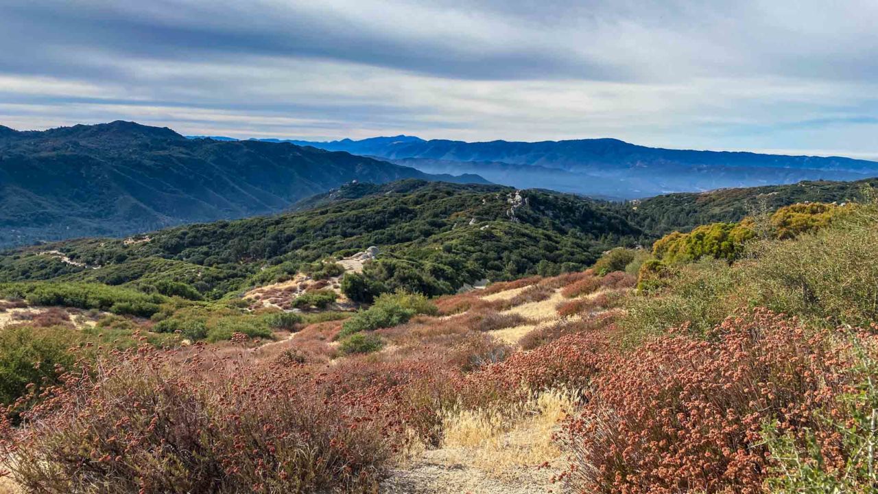
Hot Springs Mountain in the Los Coyotes Reservation is the highest peak in San Diego County, with chaparral, oak and pine forests. On a clear day, you can see the Pacific Ocean over 50 miles away. Near the summit are the crumbling remains of a lookout tower, and the true summit requires a short boulder scramble. It’s an area of impressive natural beauty and biodiversity.
The Los Coyotes Reservation lies east of San Diego, between the Cleveland National Forest and Anza-Borrego State Park. It is the home of the Los Coyotes Band of Cahuilla and Cupeño Indians whose ancestry can be traced to the area over 2,000 years. Standing on the summit you can take in the same sweeping views enjoyed by its inhabitants for centuries.
Getting to the Hot Springs Mountain Trailhead
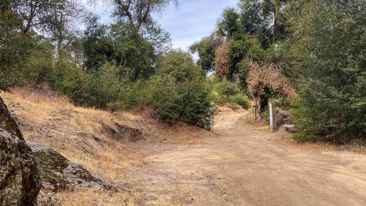
The nearest town is Warner Springs, and the drive to the trailhead takes about an hour from Temecula or an an hour and 20 minutes from Escondido. From Highway 79 in Warner Springs, you’ll turn onto Camino San Ignacio Road. This road travels 7.7 miles to the trailhead at the intersection with Sukat Road, but you’ll have to stop at the entrance to the Los Coyotes Reservation and pay a per-person day-use fee, which at the time of writing was $10 per person.
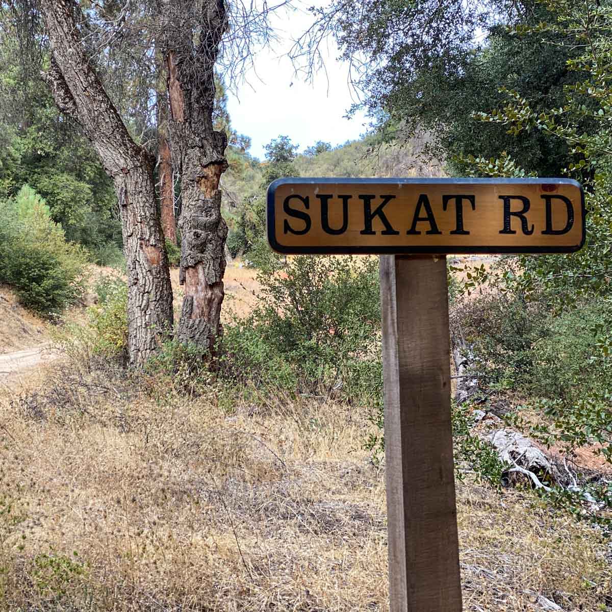
The trailhead is not clearly marked, other than a small sign identifying Sukat Road. The road can be found at the west edge of the campground (to your left as you enter the campground. The campground itself was still closed to camping due to the pandemic, but this made parking a breeze. Get turn-by-turn driving directions on Google Maps.
Hiking Hot Springs Mountain
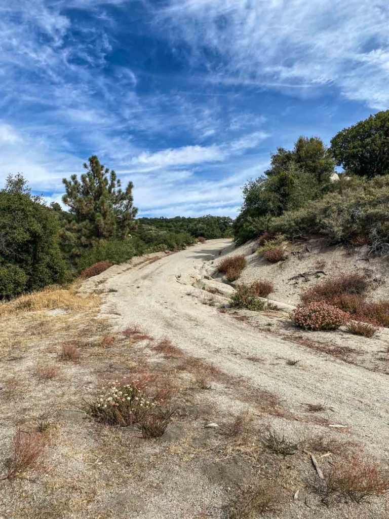
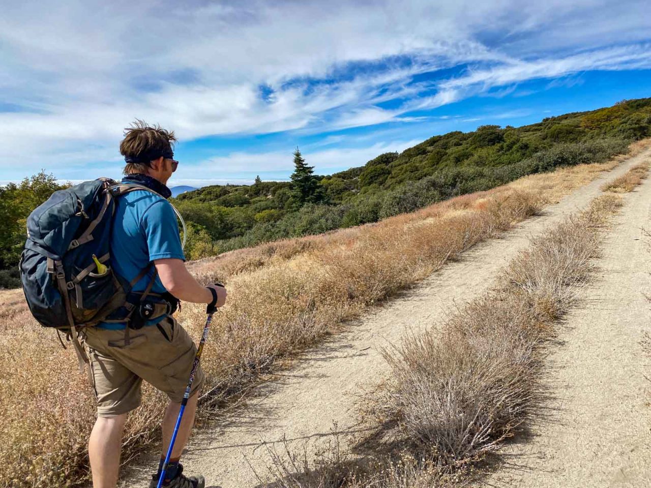
The trail begins up Sukat Road, a jeep trail that was chained off at the time of our hike. Once you step over the chain, the climbing begins. Being a jeep trail, the trail never gets too steep, although having trekking poles would be helpful. Leaving behind the tall oaks in the valley, the are open patches interspersed with tall pines, cedars and chaparral.

As you climb, the buckwheat and manzanita give way to forest.
At 2.8 miles, you reach a junction with Hot Springs Mountain Road. It’s another dirt road, and you might not even notice it, as Sukat Road bends to join it nearly seamlessly. There is a sign pointing you toward the Lookout Tower, and that’s the direction you want to continue.

From here, the trail is forested and climbs gently with a few dips to keep it interesting. Towering cedar trees line the trail on both sides.

At five miles, the lookout tower comes into view, and the jeep trails opens to a large flat turnaround area. When we hiked this, there were colored flags tied to the branches to mark the trail.

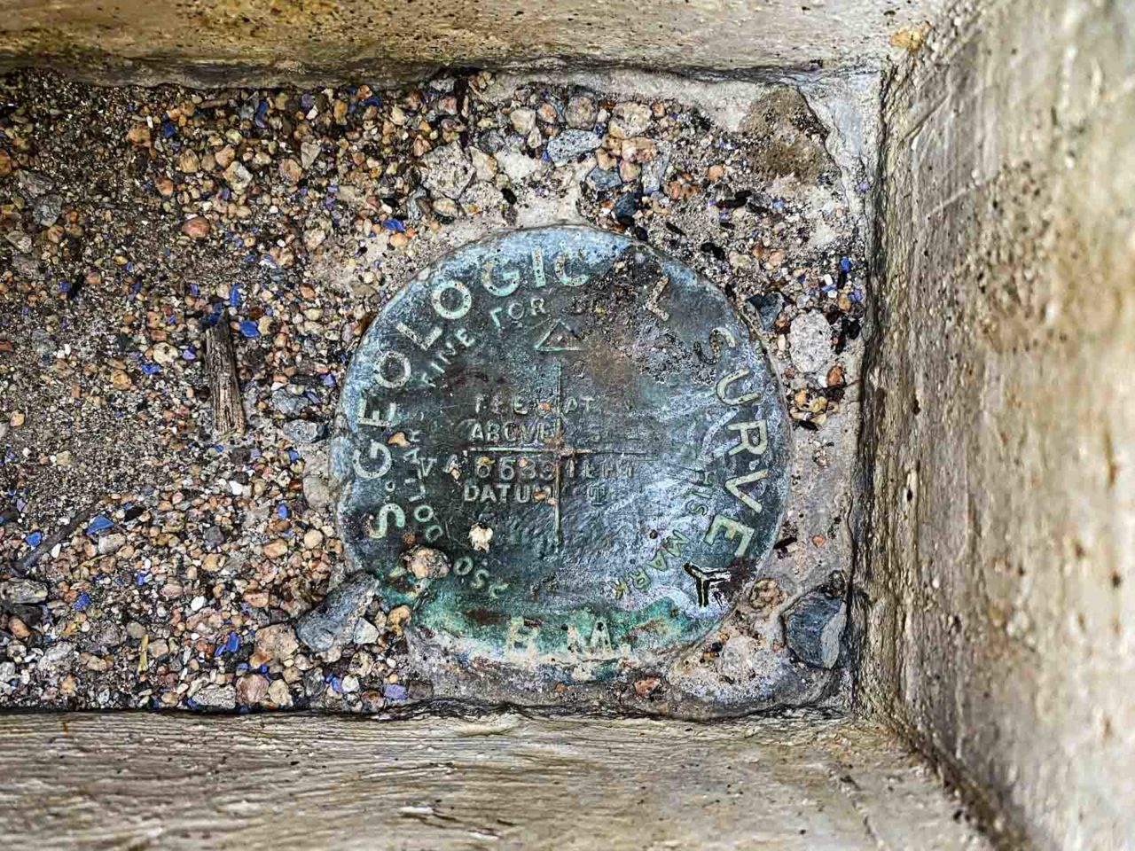
Continue across the flat open area to the trees on the north side of the clearing, and the trail to the true summit continues as a single track that snakes through manzanita and trees to a large boulder pile. There’s a marker at the top of the highest boulder, but climbing up them is entirely optional, depending on your comfort level.
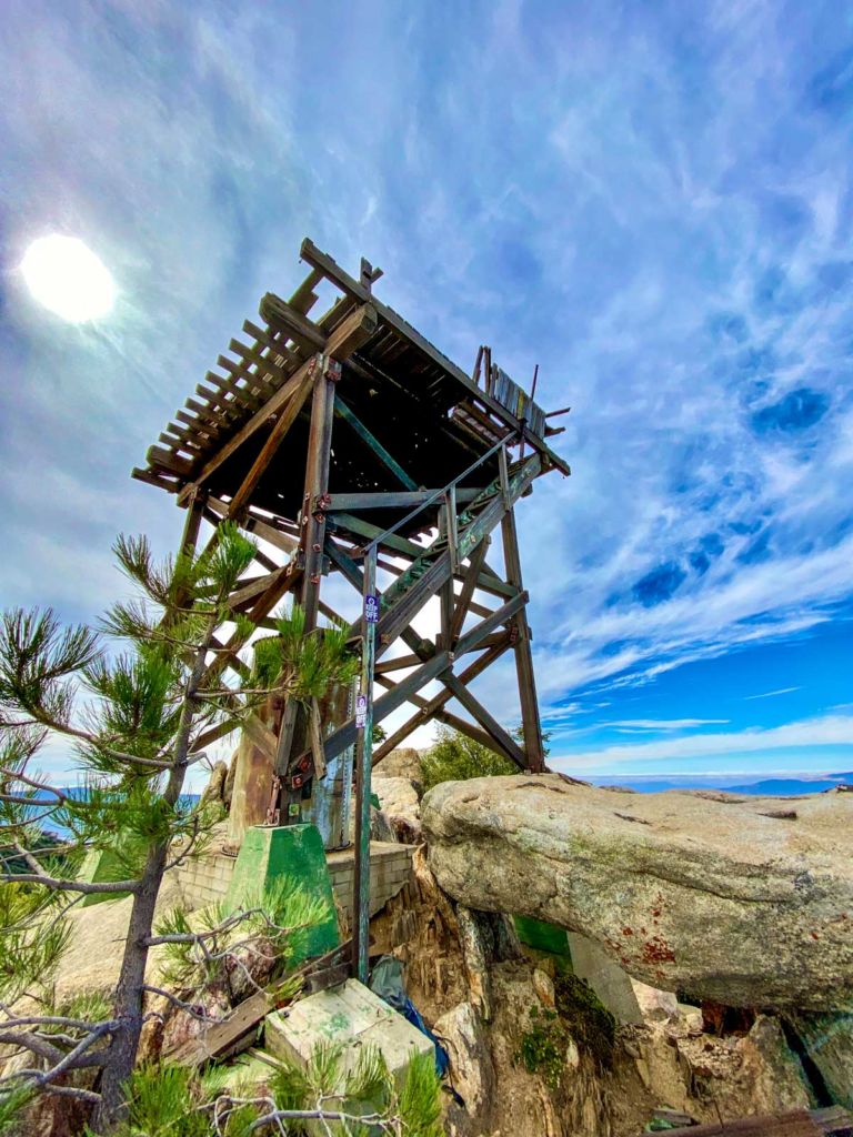
The summit can only handle a few people at the top at any one time. If you want to stop for a break, a better location is at the concrete steps leading to the base of the closed (and decaying) lookout tower. Though this side of the summit mount is slightly lower, the views are the same.
There are plenty of places to spread out for a snack break before retracing your steps back to the trailhead.
On the way back, the junction with Sukat Road is more obvious. Take a left on Sukat Road, following the sign directing you to the campground.

Hot Springs Mountain Map & Elevation Profile
Hot Springs Mountain Resources
- At the time of writing, a $10 per person use fee is required to enter the reservation
- Dogs are permitted, but must remain on leash at all times
- There is a porta-potty at the trailhead, but bring your own water and pack out all your own trash and Leave No Trace
- Be sure the carry the 10 Essentials
- Know how to #RecreateResponsibly
- Information on the Los Coyotes Reservation
- Weather forecast for Hot Springs Mountain
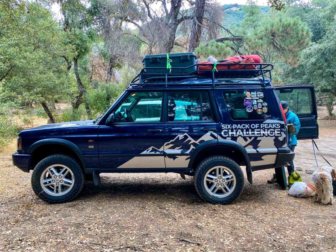
San Diego Six-Pack of Peaks Challenge
This hike is part of the San Diego Six-Pack of Peaks Challenge. This self-paced hiking challenge includes six hikes in San Diego County. They are a great way to explore the area, train for bigger adventures, and you’ll be doing good, with a portion of the net proceeds going to support Big City Mountaineers.
The annual challenge runs between January 1st and December 31st. Be sure to check out the SoCal challenge, too!

Jeff has hiked and explored trails for over 50 years, covering everything from casual canyon walks to rugged multi-day Sierra routes. He started SoCalHiker.net in 2010 to document the trails he loves — and to make it easier for others to discover them.
Originally hiked on October 24, 2020 with Joan, Will, Shannon, Lucy and Farley. Special thanks to Will for serving tacos!
You must be logged in to post a comment.