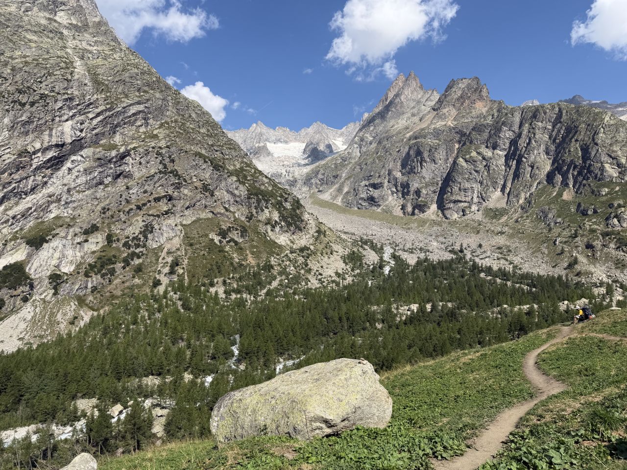
Hiking the Tour du Mont Blanc is an eight-day, counter-clockwise circuit around western Europe’s highest peak, linking France, Italy and Switzerland on a route that passes through alpine villages, high mountain passes and a refuge or café around nearly every bend. We started and finished in Les Houches, France, in mid-August 2026, staying in mountain refuges and carrying everything ourselves.
I hadn’t planned to hike the TMB this year. We had just moved to Dijon, and I hadn’t booked anything. Then, in a Tour du Mont Blanc group on Facebook, I saw a post from a Californian who was selling his reservations. He had self-booked refuges along the entire route. I jumped on it, and it meant I could hike the TMB in 2026 instead of waiting until 2027 for a booking window.
My hiking partner was Paul Bessenbacher (aka PB, aka @OpusOrange), who lives in Najac in southern France. Paul drove to Dijon, spent a night with us, and then drove us to Les Houches to start the trip.
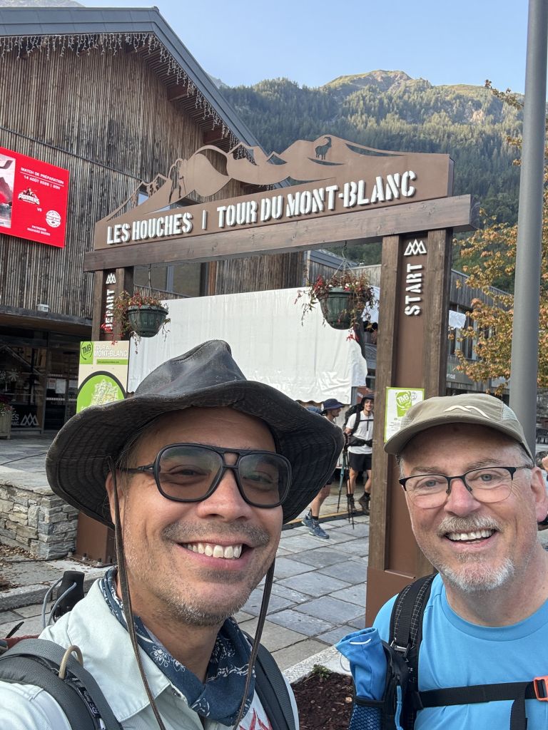
The Tour du Mont Blanc is hard, but it’s also a lot of fun. Compared with rugged backpacking trips like the Grand Sawtooth Loop, this was a lighthearted trip. Day 1 was a long, hot, hard climb for me, but the days that followed got easier, and nearly every day had an excuse to stop for a drink. At one point we started calling the whole thing “Adventures in Spritz-erland.”
Map of the Tour du Mont Blanc & Elevation Profile
This map shows our original plan. We adjusted as you’ll see in the day-by-day posts.
Day 1 starts with the Bellevue cable car above Les Houches, which saves the first 800 meters of climbing from the valley. We hiked the Col du Tricot variant, which included amazing views and a cool suspension bridge. Even with the morning cable car shortcut, It still ended up being a long day with a lot of vertical: about 13 miles and 5,000 feet of climbing, ending at Refuge des Prés. It was 65°F when we started at 7:50 a.m., but it got hot in the afternoon.
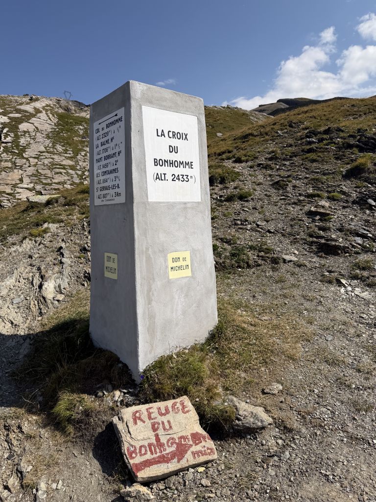
Day 2 climbs from Refuge des Prés over the Col du Bonhomme to Les Chapieux. From there we took the bus to La Ville des Glaciers, and then walked on to Refuge des Mottets.
Day 3 crosses the Col de la Seigne from France into Italy, with lunch at Rifugio Elisabetta, before finishing at Rifugio Monte Bianco above the Val Veny.
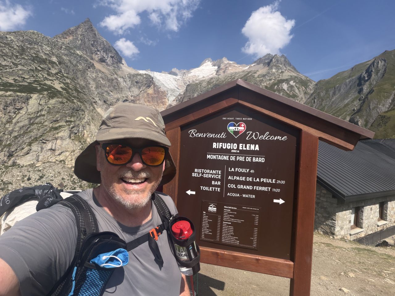
Day 4 is the day we broke the rules. The original plan was a 33 km (13-14 hour) day from Rifugio Monte Bianco to La Fouly. Instead, we took a bus into Courmayeur, wandered around town and bought a focaccia for lunch on the hike, then rode a free bus to Arnuova and hiked the rest from there. We stopped for a beer at Rifugio Elena, ate our focaccia at the top of the Grand Col Ferret, crossed into Switzerland, and stopped for a second beer at La Peule before continuing down to Ferret, where we caught yet another bus to La Fouly.
Day 5 was a rainy rest day. We took a bus from La Fouly to Champex-Lac and spent the day there drinking, playing cards and staying out of the rain. The trail we had originally planned for the day was mostly through forest and not especially scenic, so we didn’t feel like we missed much.
Day 6 climbs from Champex to the Col de la Forclaz, with lunch at the Alpage de Bovine (you have to order lunch there by phone the day before). We finished at Hotel du Col de la Forclaz, which sits right on the road but had a really good dinner and breakfast.
Day 7 climbs from the Col de la Forclaz through Trient and Le Peuty to the Col de Balme, where we had lunch at the refuge. From there we took the lift down to Le Tour and hiked the rest of the way to Gîte-Refuge Le Moulin.
Day 8 was supposed to finish the loop in Les Houches. Thunderstorms were forecast and the mountains were going to be socked in, so we took the bus to Les Houches to close the loop, then rode into Chamonix in the evening for a celebratory dinner and a little tourist time.
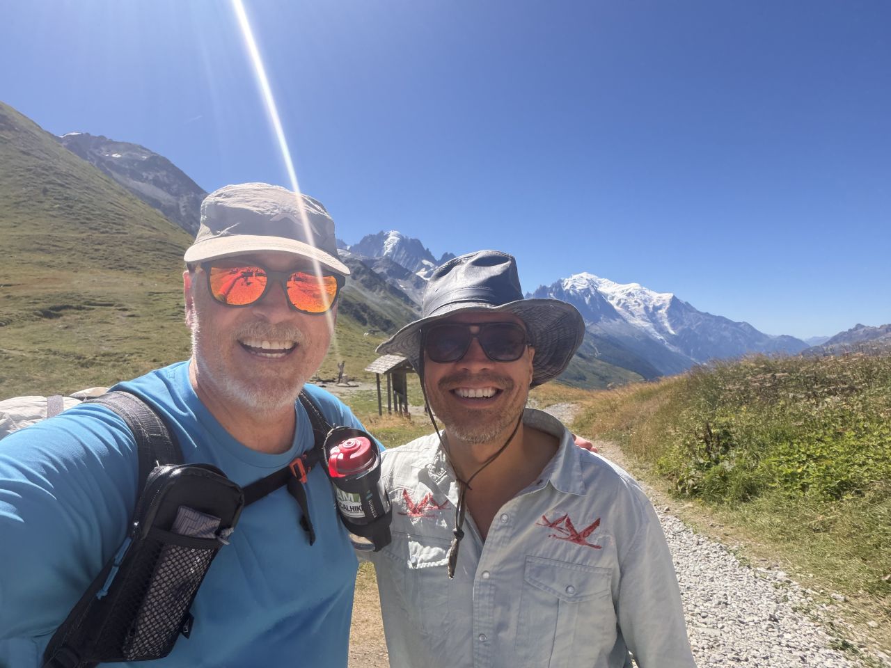
Clockwise or counter-clockwise? We went counter-clockwise (anti-clockwise, here in France) from Les Houches and it seems like most people were going this direction. In actuality, there are many places you can start and end this loop. In our case, the bookings we acquired dictated our daily itinerary and the directions.
Getting There & Logistics
We started and finished in Les Houches. Paul drove from Najac to Dijon, spent a night with us, and then drove us to Les Houches. On the way home, I took the train from Saint-Gervais back to Dijon, with a two changes: in Bellegarde and Lyon. Cost: €51.50.
Reservations & Booking
The previous owner had booked all of the refuges. The only reservation we made ourselves was our hotel on the final night, RockyPop.
If you’re booking it yourself, start with the official Tour du Mont-Blanc website. It’s run by the association of refuge and gîte keepers, and it lets you check availability and book most of the refuges and guesthouses along the route in one place. Only member accommodations can be booked there, so for anything else you’ll need to contact the place directly. Bookings for summer 2027 opened on October 15, 2026, and July and August fill up fast. The site’s advice is to settle your direction and main stages first, then book the stages with the fewest beds and build the rest of the itinerary around them. Cancellations do happen, so if a refuge is full, keep checking back. Save your confirmations on your phone and on paper, since you won’t always have a signal.
Booking with a guide or tour operator. If you’d rather not do the booking yourself, a number of companies run guided and self-guided TMB trips that handle the accommodation and logistics. Guided trips come with a leader and a group. Self-guided trips give you the bookings, route notes and a contact person, but you hike on your own. Many offer luggage transfer, but read the fine print: some only deliver bags to hotels, not mountain huts, and bag limits are typically around 15 kg (33 lb). One operator, Much Better Adventures, estimates the full circuit at roughly $1,400-$2,600 doing it yourself versus $2,550-$3,300 guided.
Heads-up for 2027. As of September 2026, the French communes along the route have proposed requiring a reservation for every night and banning wild camping outside approved sites on the French section. According to AllTrails, these changes are not official yet, so check the current rules before you go. Not an issue if you’re planning on staying in refuges as I did.
What to Expect
- Heat. Mornings started anywhere from the upper 40s to mid 60s°F, but Day 1 got uncomfortably hot in the afternoon.
- Options. The TMB is full of buses, lifts and refuges that let you shorten or reshape a day. We used buses on Days 2, 4, 5 and 8 and a lift down on Day 7.
- Refreshments. Rifugios and alpine cafés turn up along the route, so there’s rarely a long stretch without somewhere to sit down. I had brought snacks, but didn’t really need to.
- Three countries. The route crosses from France to Italy and Switzerland and back. Paul and I both have French cell phone providers, and they worked fine in Italy and Switzerland as well. Many (not all) of the refuges have wifi, so wifi calling can work for most others without incurring international roaming expense.
Planning Resources for the Tour du Mont Blanc
- Official Tour du Mont-Blanc website – Refuge and guesthouse booking, an availability calendar, and a banner with current refuge and trail conditions
- Traileasy – On previous trips, I’ve used a variety of tools to help plan and track my journey, including GaiaGPS, FarOut and even AllTrails. For this trek, I came across an excellent free resource called Traileasy that is designed specifically for multi-day adventures, and it is perfect for the Tour du Mont Blanc. This is a free planning website and app with no ads or subscription. It includes all the main refuges and lets you build a day-by-day itinerary with distance, elevation gain, elevation profile and weather. You can also build your gear list, collaborate with your hiking partners and share the plan with others. Highly recommended.
Postscript
Would I do anything differently?
- Break up the long days. I’d split Day 1, Day 4 and Day 8 in two, for a total of 11 days instead of 8.
- Plan the shortcuts. I didn’t realize how many options there were for modifying the route: buses, lifts, lunch stops at refuges. Next time I’d build them into the plan.
- Taking over someone else’s reservations has a big upside. It let us hike this summer instead of waiting until 2027. The downside? You have their itinerary. I’d have preferred a longer trip.
Originally hiked between August 13-20, 2026 with Paul Bessenbacher.
Jeff has hiked and explored trails for over 50 years, covering everything from casual canyon walks to rugged multi-day Sierra routes. He started SoCalHiker.net in 2010 to document the trails he loves — and to make it easier for others to discover them.
You must be logged in to post a comment.