
Day 4 of the Tour du Mont Blanc starts with two buses and ends with a border crossing into Switzerland. We rode into Courmayeur, grabbed a focaccia for lunch, took a free bus to Arnuva and hiked the rest from there, with beer stops at Rifugio Elena and La Peule and lunch at the top of the Grand Col Ferret. A bus took us from Ferret to La Fouly at the end. It was a lighter-hearted day with a serious climb (2,599 feet) and plenty of liquid refreshment.
The Route
We started the day at Rifugio Monte Bianco. Instead of hiking the first stretch, we caught a bus into Courmayeur at around 8:00 AM. We explored a bit and had coffee and a croissant, and bought a focaccia to carry for lunch.
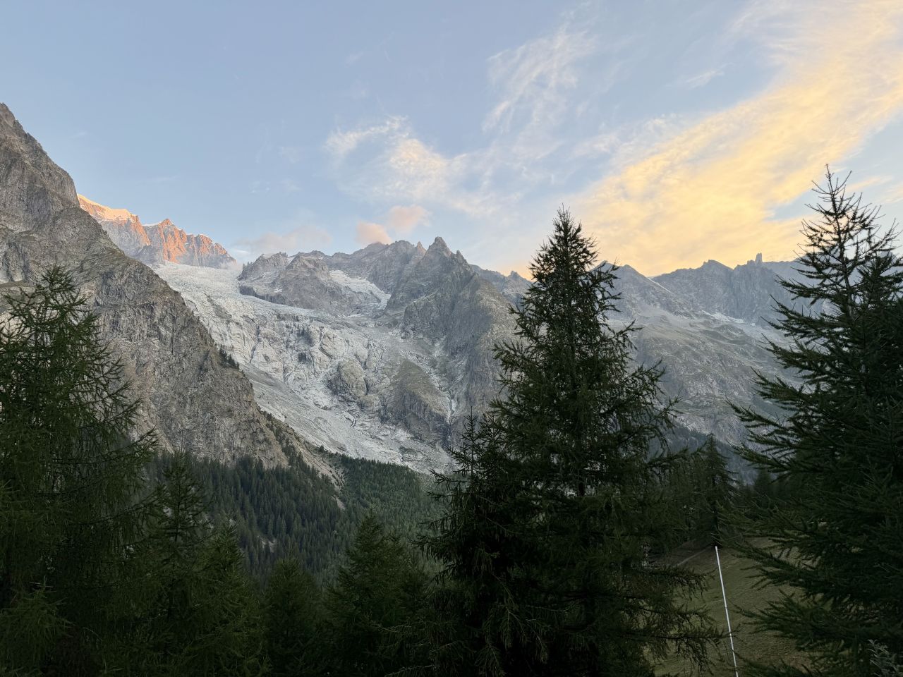
From Courmayeur, we took a second bus, a free one, to Arnuva, and started hiking from there. The trail climbs the valley toward the Grand Col Ferret.
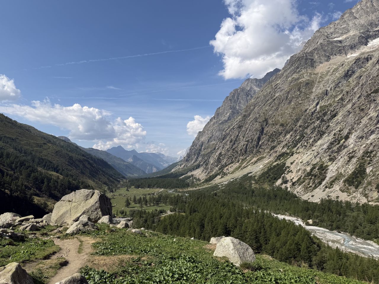
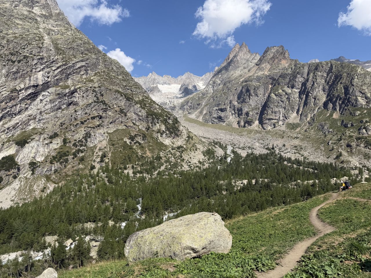
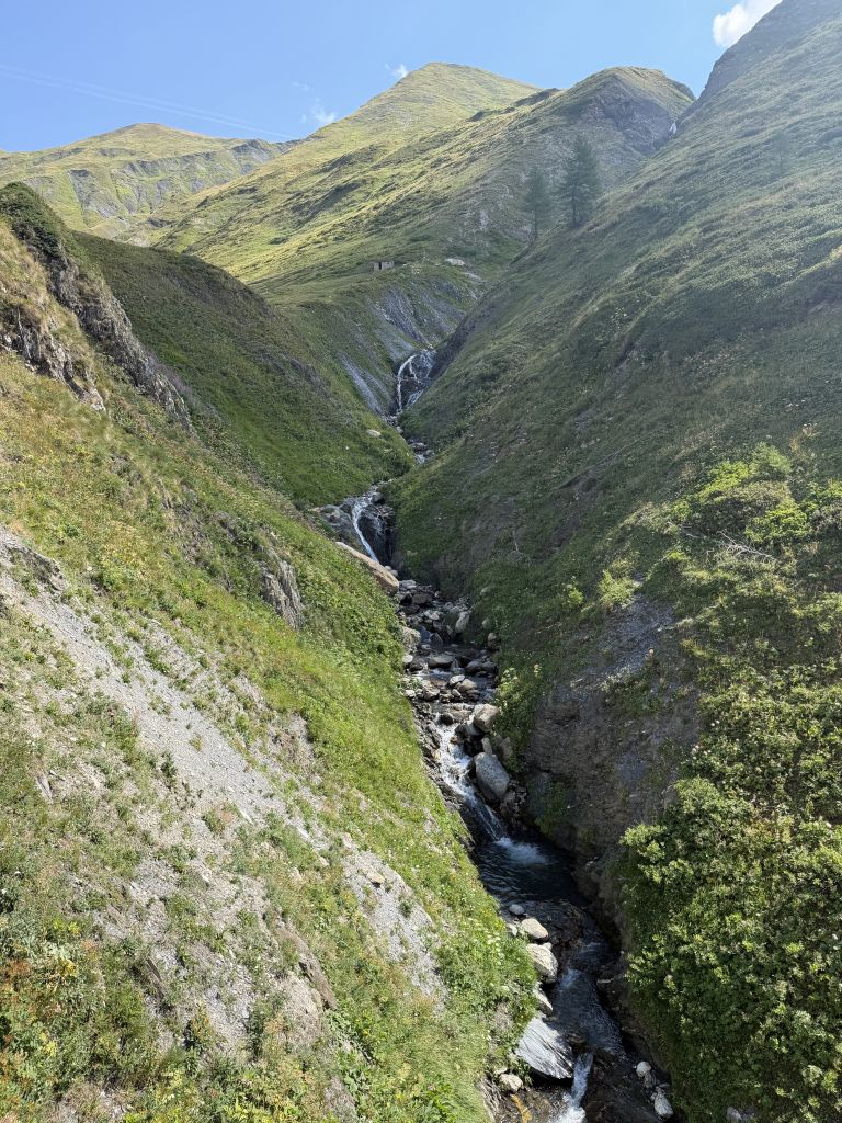
We stopped for a beer at Rifugio Elena. This seemed like a popular destination for day hikers coming up from Courmayeur. The trail traffic thinned out considerably after Elena.
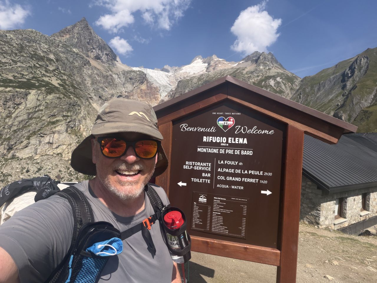
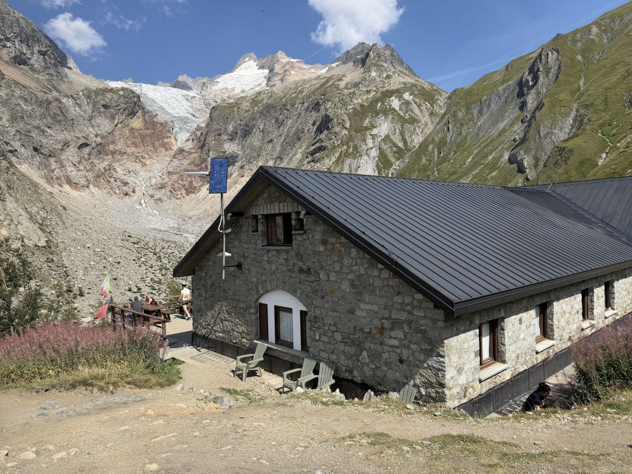
Above the refuge the trail keeps climbing toward the Grand Col Ferret, the high point of the day and the border between Italy and Switzerland.
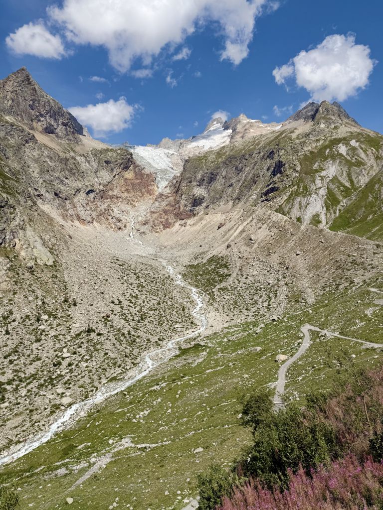
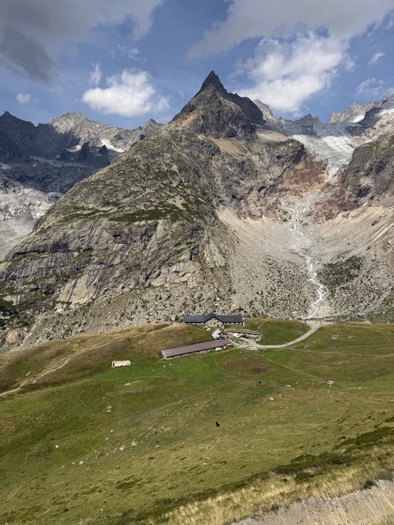
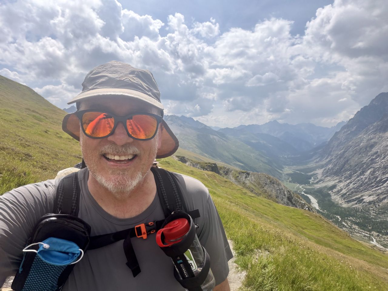
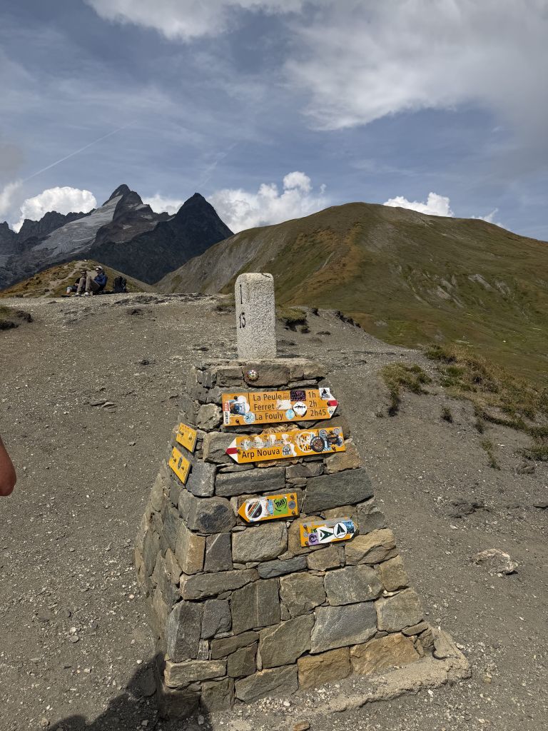
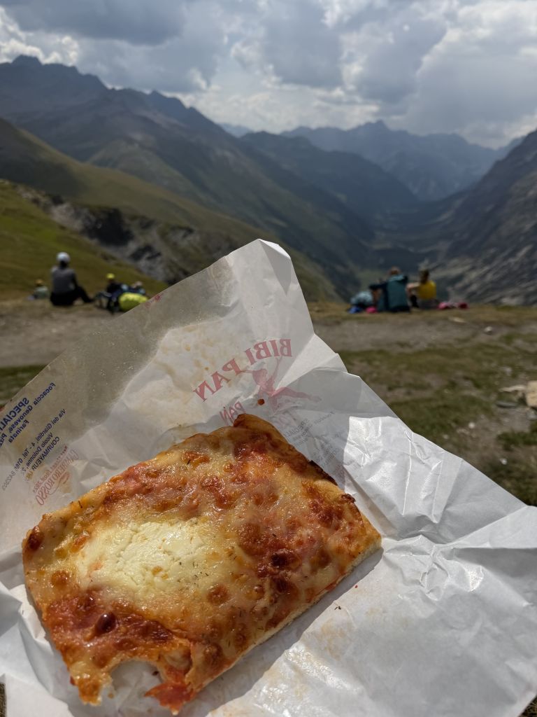
We ate our focaccia at the top of the Grand Col Ferret.
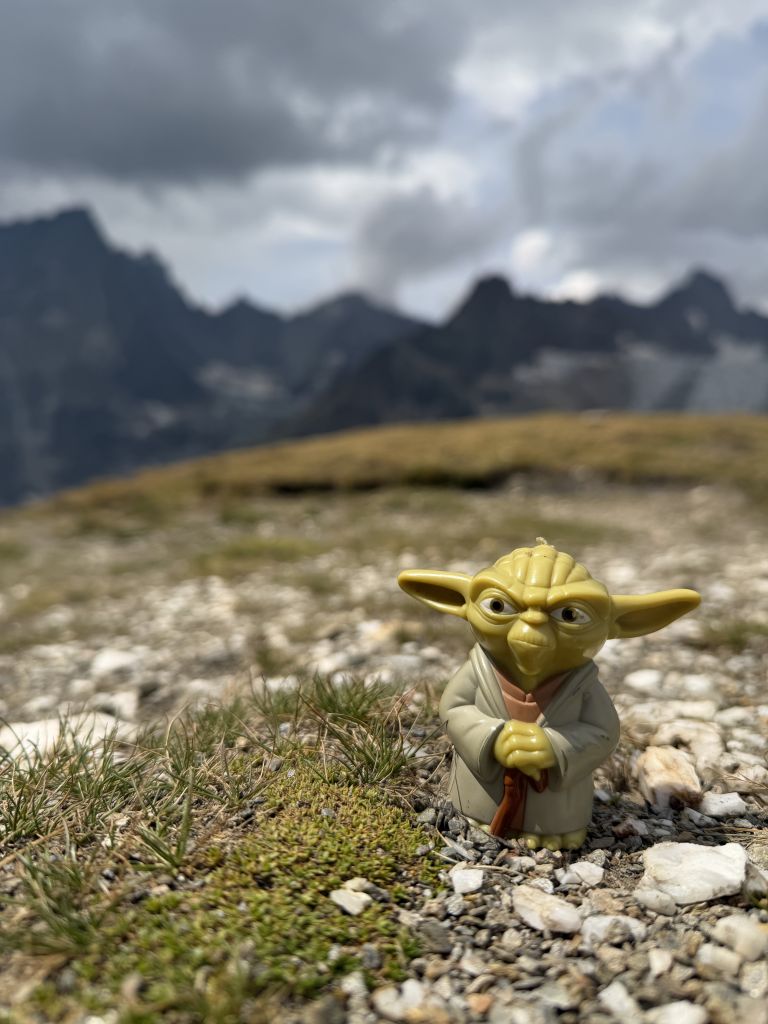
Yoda, my trail mascot, came along too. He has joined me on almost all of my hikes and backpacking trips since we found him on the Trans-Catalina Trail in 2010.
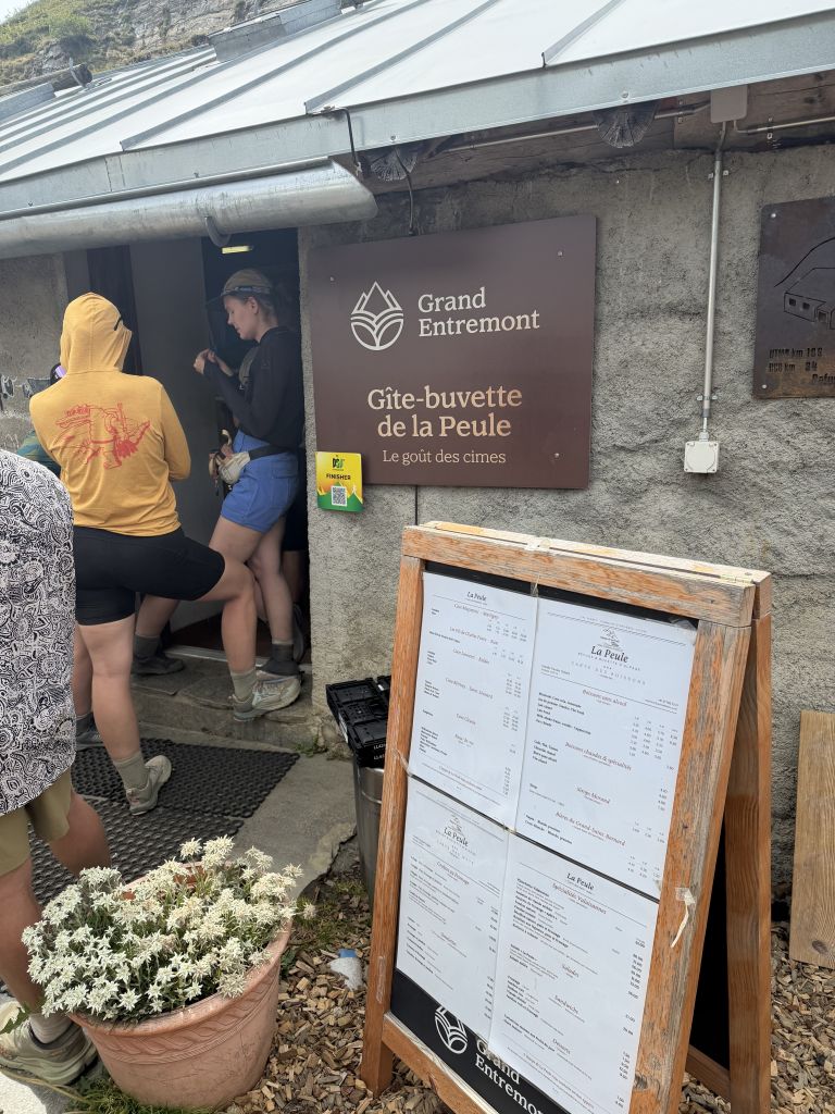
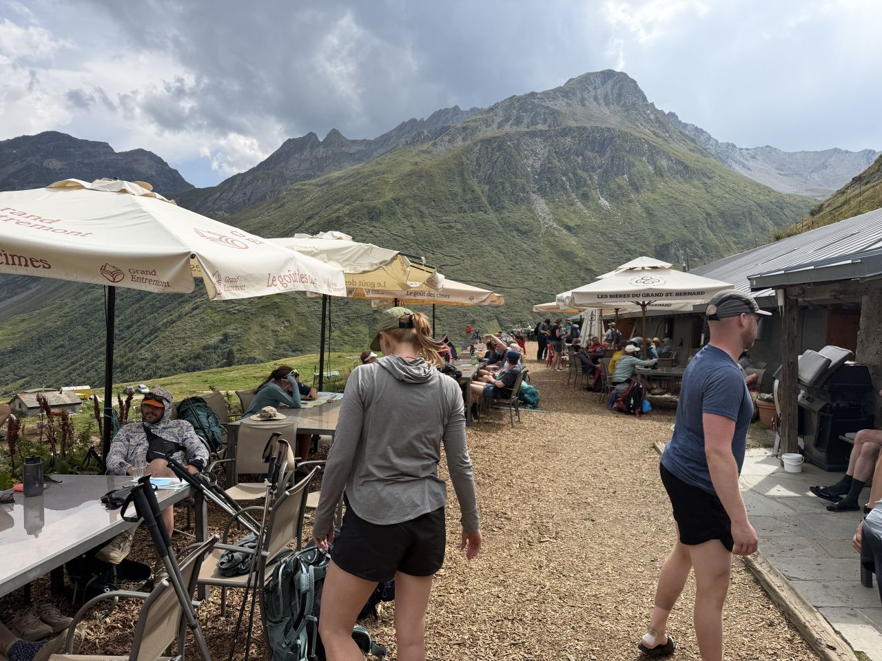
On the way down we stopped for another beer at La Peule, a gîte-buvette on the Swiss side, before continuing on.
We finished the hike at Ferret and took a bus from there to La Fouly.
Highlights
- Courmayeur by bus. We explored a bit and picked up a focaccia for lunch.
- Two beer stops. One at Rifugio Elena on the way up and one at La Peule on the way down.
- Lunch at the top of the Grand Col Ferret. Focaccia with a big view, at the border with Switzerland.
- Yoda at the pass. My trail mascot since 2010 made it to Switzerland.
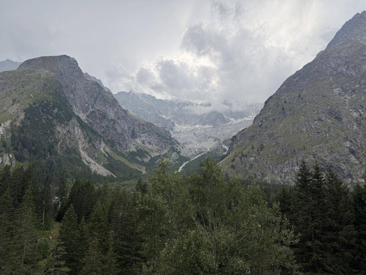
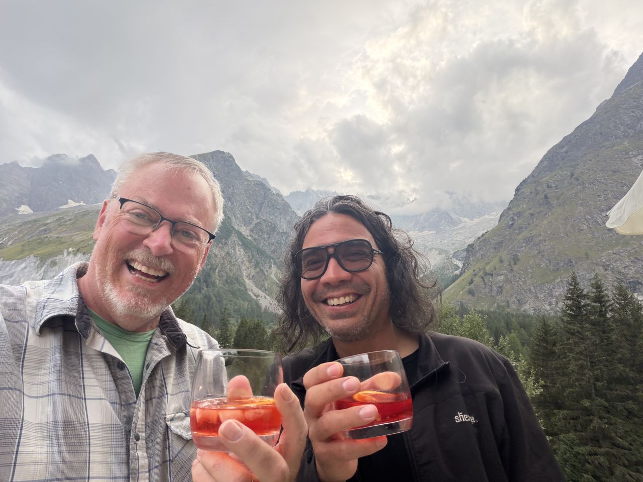
- In La Fouly: Hotel Edelweiss. This was a very nice hotel, and we had a room for two with our own shower. I highly recommend it.
Practical Notes
- Buses: We took one bus into Courmayeur, a second free bus from Courmayeur to Arnuva, and a third from Ferret to La Fouly at the end of the day.
- Border crossing: The Grand Col Ferret is where the route passes from Italy into Switzerland. I carried my passport but there are no border checkpoints. Also, I never carried any Swiss currency; I used Apple Pay everywhere with no issues.
The Day in Numbers
| Distance | 9.4 mi (15.1 km), not including the bus rides |
| Elevation gain | 2,599 ft (792 m) |
| Moving time | 4h 08m |
| Elapsed time | 8h 58m |
| Start | Arnuva (after buses from Rifugio Monte Bianco) |
| End | Ferret, then a bus to La Fouly |
Originally hiked August 16, 2026 with Paul Bessenbacher.
Jeff has hiked and explored trails for over 50 years, covering everything from casual canyon walks to rugged multi-day Sierra routes. He started SoCalHiker.net in 2010 to document the trails he loves — and to make it easier for others to discover them.
You must be logged in to post a comment.