
Whiting Ranch: Dreaded Hill & Red Rock Canyon
Serrano Creek Trail
Very Strenuous
10 mi
Lollipop
10 mi
16.1 km
Distance
2,152 ft
656 m
Gain
1,592 ft
485 m
Summit
3 hours
Est. time
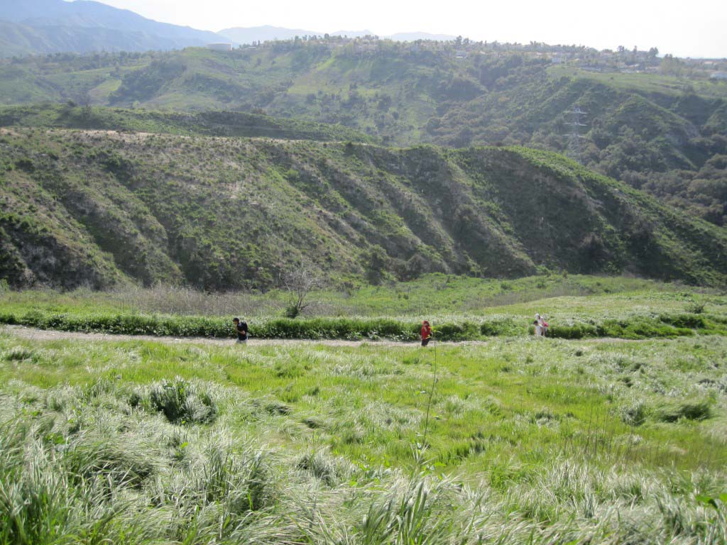
Whiting Ranch is a popular Orange County wilderness park located in Lake Forest between Foothill Ranch and Santiago Canyon. Although it’s surrounded on two sides by subdivisions, once you hike into the park, you’re transported to another time and place. There are oak-linked valleys, red rock canyons, lung-busting climbs and vistas across Orange County.
This 10 mile lollipop-looped trail gives you a grand tour of the highlights in Whiting Ranch, but it’s by no means the only option. There is an extensive network of trails through the park, and you can modify the route to suit your time and hiking ability.
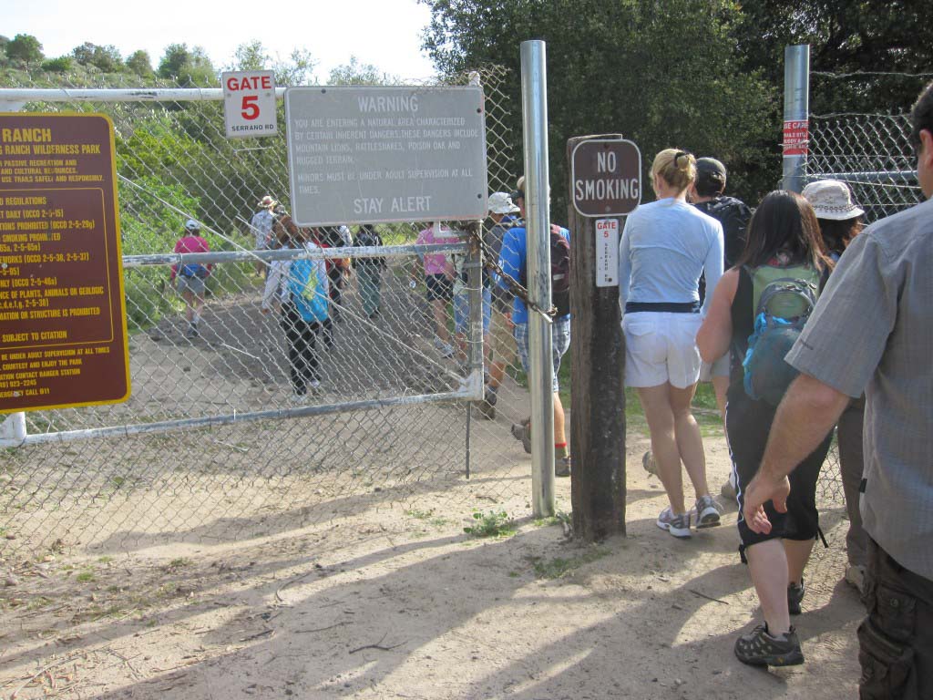
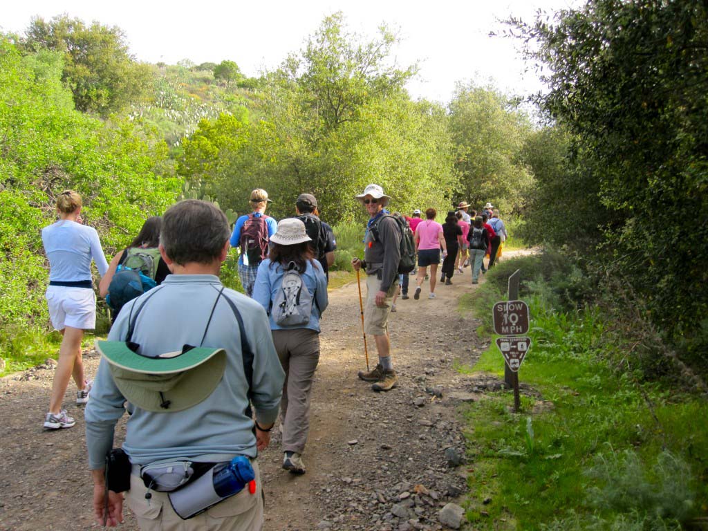
This journey starts and ends at the Portola Ranch Wahoo’s (map). The great thing about this location is that there is plenty of parking on evenings and weekends, and you have a ready-made aprés-hike eatery (you will have earned that cerveza, amigos). The parking lot borders Serrano Creek. Follow the paved bike path under Portola Parkway and into Whiting Ranch Wilderness Park on the Serrano Creek trail.

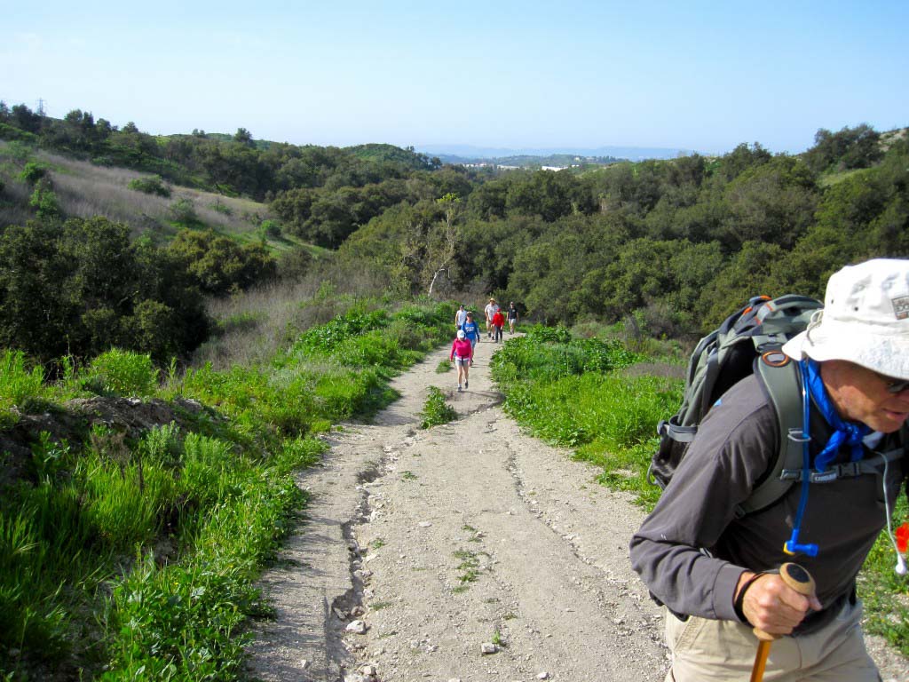
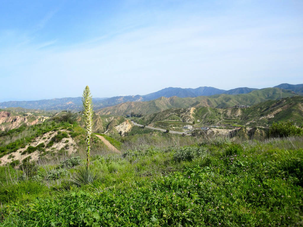
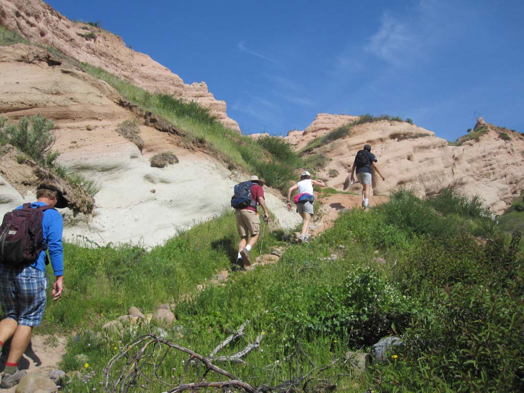
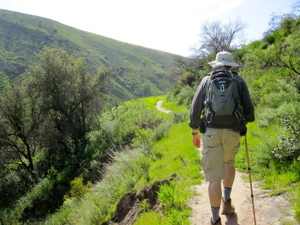
At the one mile mark, you’ll bear left and begin to climb Dreaded Hill. The double-track trail climbs steadily, and you ascend about 600 feet in one mile. I’m not sure why it’s called Dreaded Hill frankly, as it’s not the steepest or hardest hill around by a long shot. But it does intimidate people that probably should think twice before hiking it.

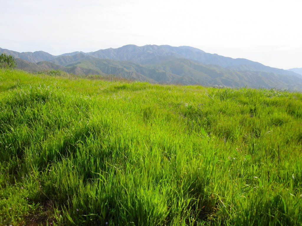
From the summit of Dreaded Hill, catch your breath and enjoy the views. You’ve got great views of the local mountains, and out over much of Orange County. On a clear day, you can even see Catalina Island!

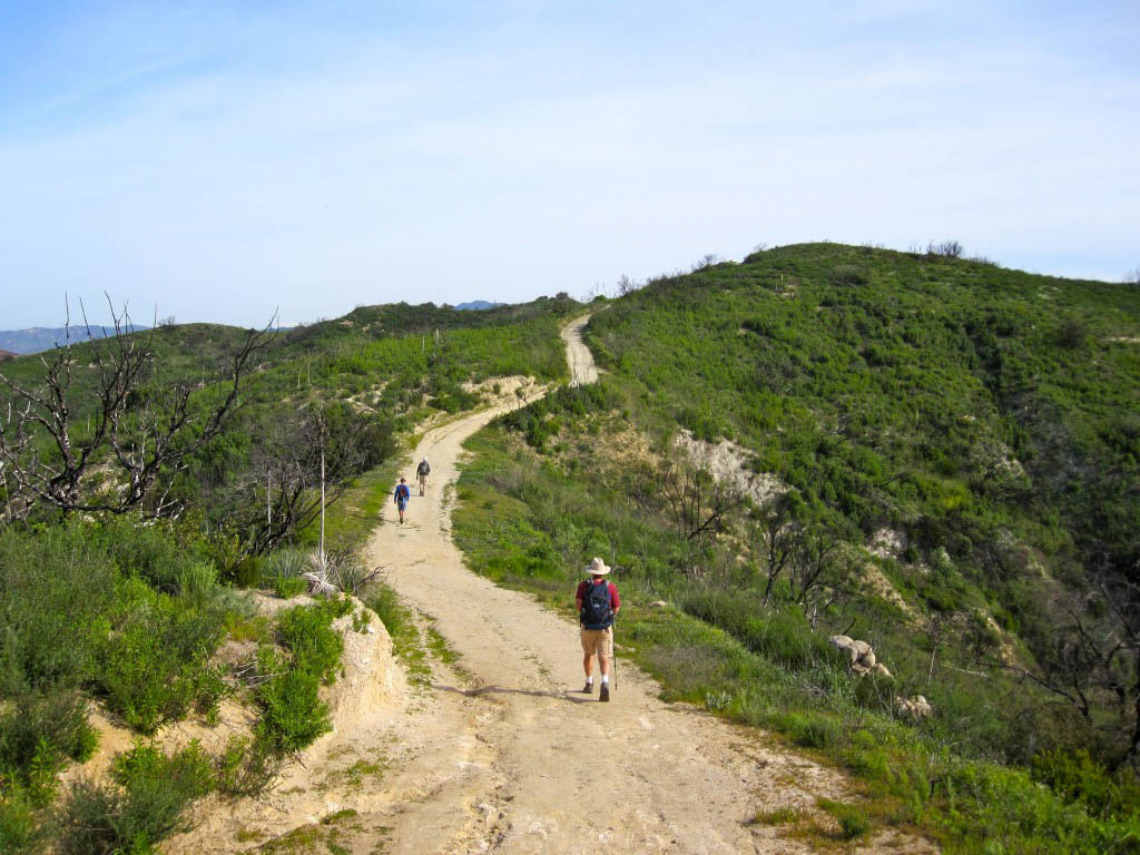
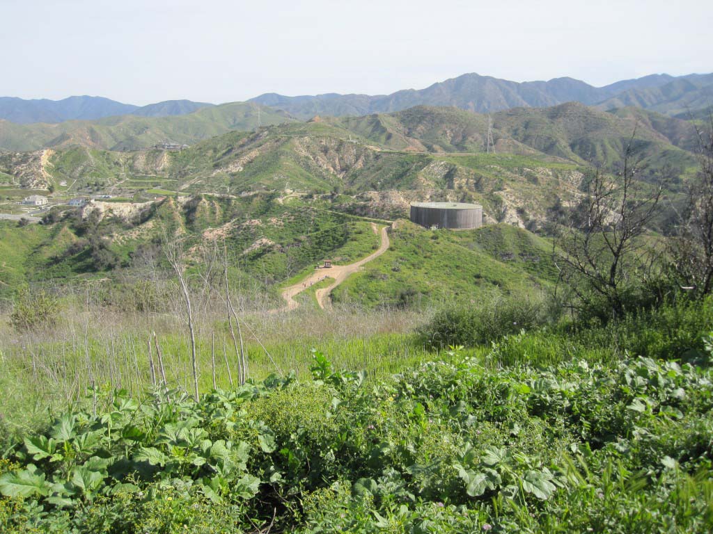
Continue on the trail downhill. Just past the summit you’ll reach a junction. Water Tank trail continues on the ridge, but you’ll turn right, heading east to Four Corners.

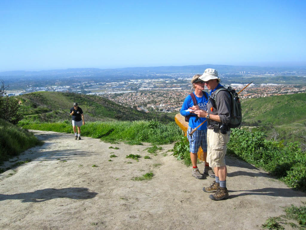
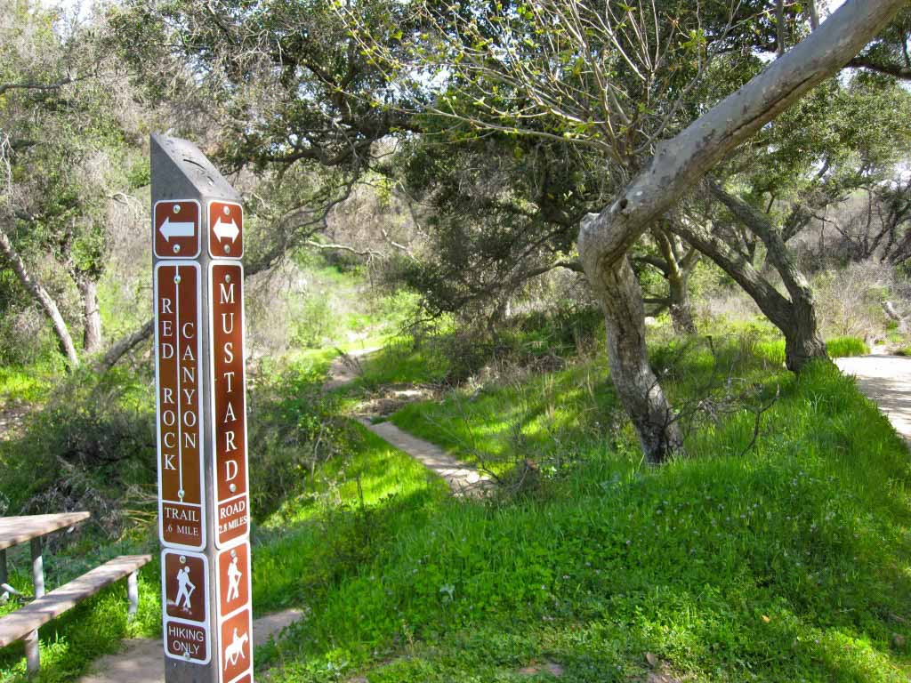
You can’t miss Four Corners — there is a bulletin board with park notices, and a water fountain. If you’re hiking with others, this is a good point to meet up at, as there are several trails that all come together here. Note that this area is also a popular gathering and rest point for mountain bikers. Be alert as you’re on the trail.
From Four Corners, head west down Mustard trail. As you reach the bottom of the canyon, a trail marker pointing the way to Red Rock Canyon.

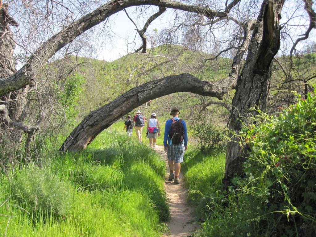
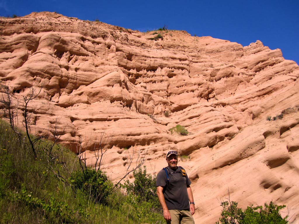
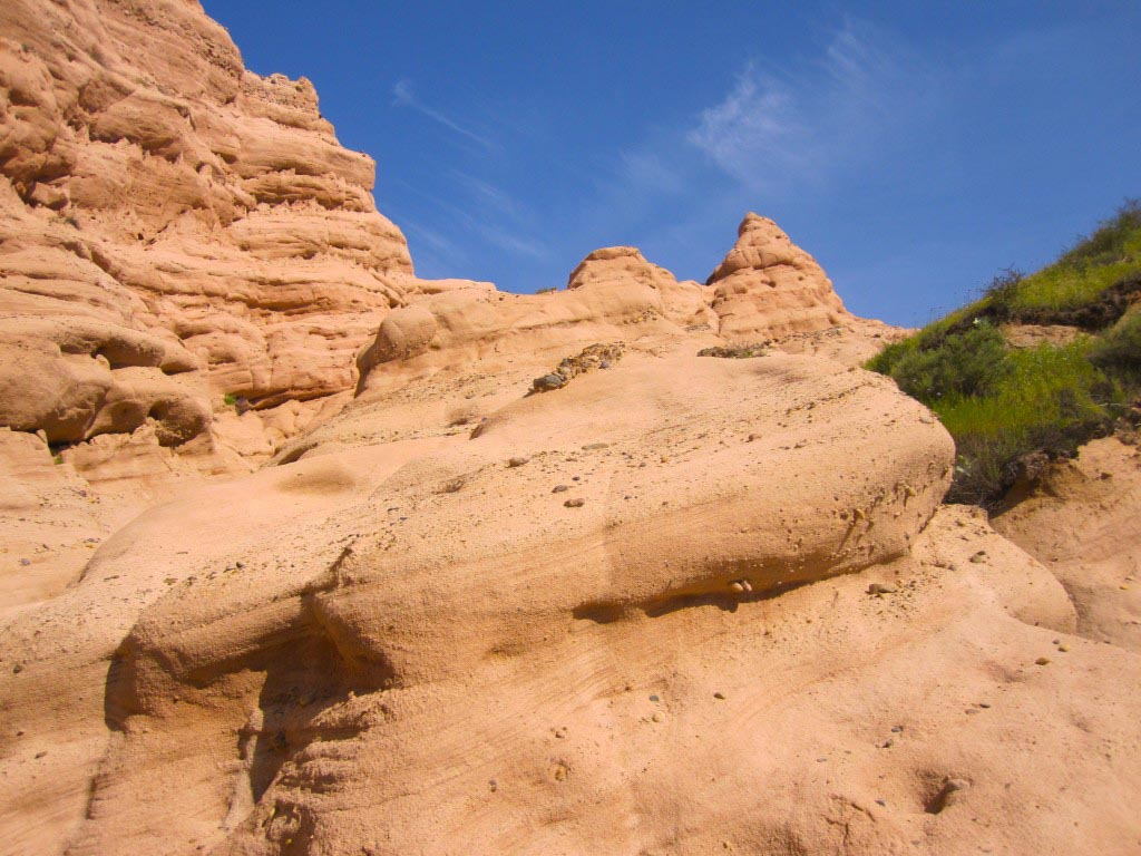
Follow the creek bed upstream, watching for signs of a well-traveled path. Parts of this trail can be tricky to follow, and you’ll have to do some scrambling, but you’ll be rewarded with the unique geology of Red Rock Canyon. This distinctive canyon is two mile, out-and-back option.


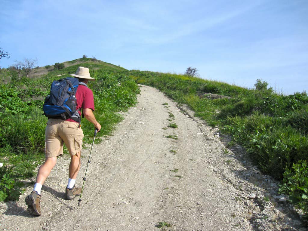
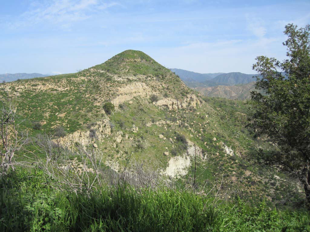
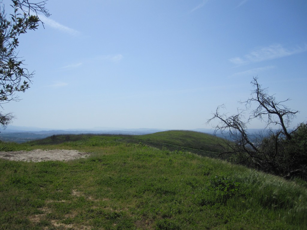
The last optional leg of this trail is up to the 1500′ Vista Lookout. Follow Mustard and when you reach the Vista Lookout junction, head uphill. This innocently-named trail is on par with the incline of Dreaded Hill, but much less popular. It’s a great escape from the more crowded trails, and the views are even better.


Retrace your steps back to Mustard, then head uphill and back to Four Corners. You’ve got two options to head back. Start heading south down Whiting trail — a wide double-track. You can follow this all the way back to Serrano, and return to the trailhead, or you can bear left at the first single track trail no more than 30 yards down the trail. While this was my choice, know that this twisty single-track is also popular with mountain bikers. If you’re uncomfortable with that, stick with the Whiting trail.
Both trails end up at the Sage Scrub trail — a rolling double-track that follows the dry Serrano Creek back towards your trailhead. There are several trail options you’ll encounter. They all head south-east and end up at the Serrano Creek trail. For the most direct route, choose the options closest to the creek bed.
When you get back, stop in for a fish taco and a cold cerveza. Wahoo’s always has a Beer-of-the-Month listed for $1.99. My recommendation? Order a #1, with a charbroiled fish taco, brown rice, black beans and extra salsa. Salud!
Whiting Ranch Trail Map
Whiting Ranch Photo Gallery
Click on any photo to view a larger version. You can also leave comments on any photo.


Whiting Ranch Hiking Tips
- Like all of the Orange County Wilderness Parks, Whiting Ranch closes for several days during and after rainfall. This is to protect the trails from damage. Check with the Park Ranger if in doubt: (949) 923-2245.
- This area is somewhat infamous as the location where a mountain biker was mauled by a mountain lion. If this worries you, don’t hike alone.
- The park hours are 7am to sunset.
- If you hike here early in the morning, you might catch a glimpse of deer grazing near the Sorrento Creek.
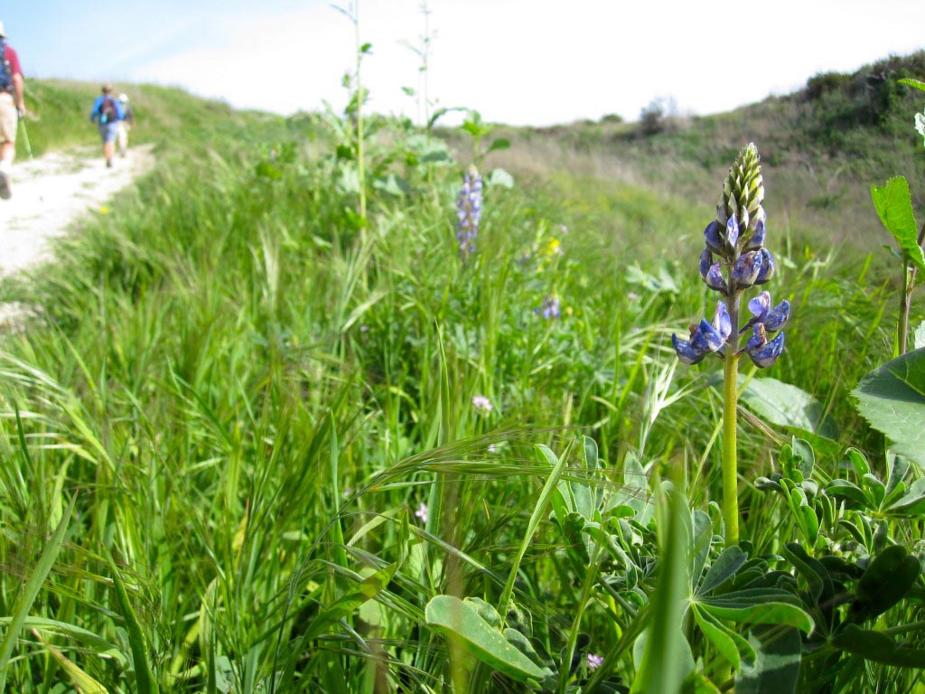
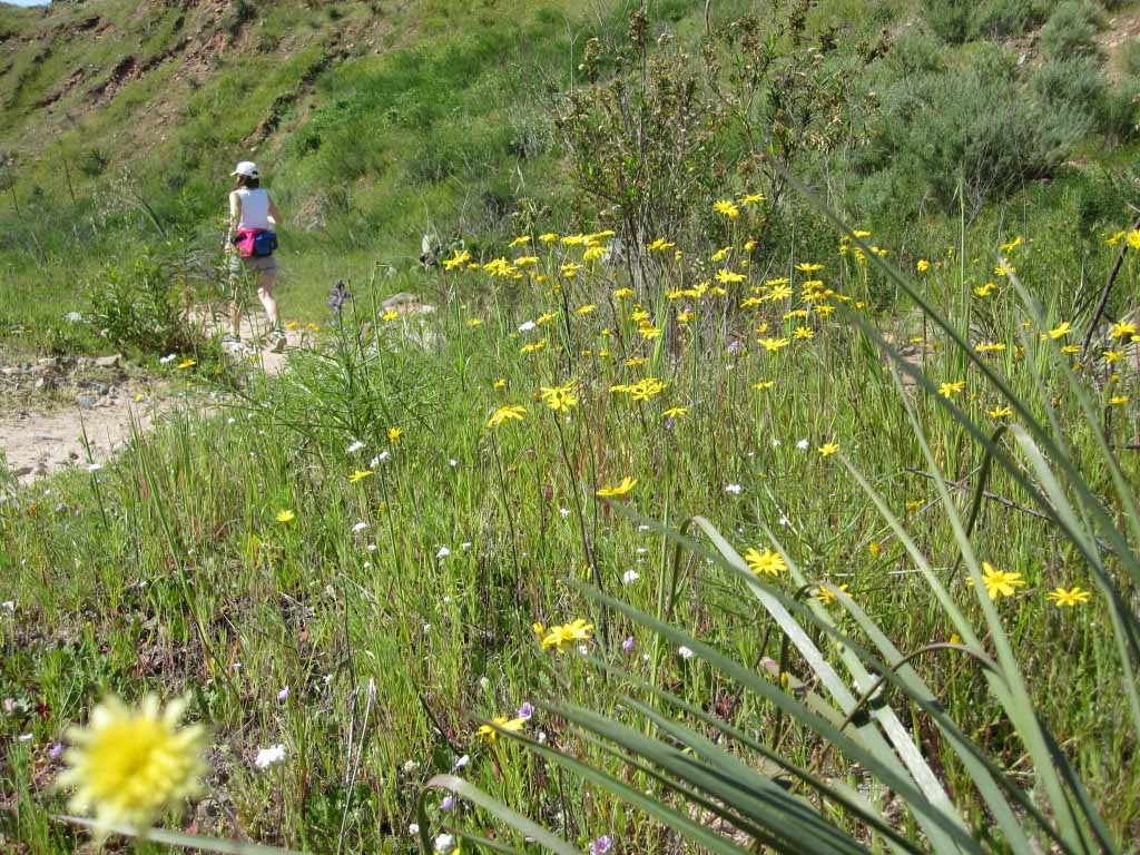
- While you can hike here year-round, it gets hot and dry in the summer. I prefer to hike here in the cooler months, and springtime is especially beautiful.
You must be logged in to post a comment.