
Blog Post Title
Blog post excerpt [1-2 lines]. This text is automatically pulled from your existing blog post.
Blog post excerpt [1-2 lines]. This text is automatically pulled from your existing blog post.
Blog post excerpt [1-2 lines]. This text is automatically pulled from your existing blog post.
Blog post excerpt [1-2 lines]. This text is automatically pulled from your existing blog post.
Blog post excerpt [1-2 lines]. This text is automatically pulled from your existing blog post.
Blog post excerpt [1-2 lines]. This text is automatically pulled from your existing blog post.
Blog post excerpt [1-2 lines]. This text is automatically pulled from your existing blog post.
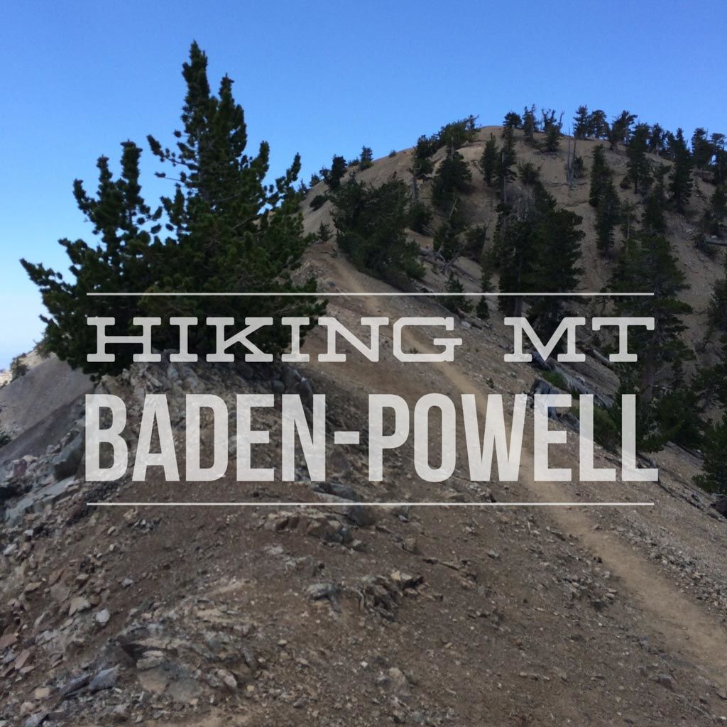
The sky was a deep, cloudless blue. The only sounds came from the occasional wind through the sparse trees and

Mt. San Jacinto was one of the first big peaks I bagged as a teenager and I’m still drawn to it
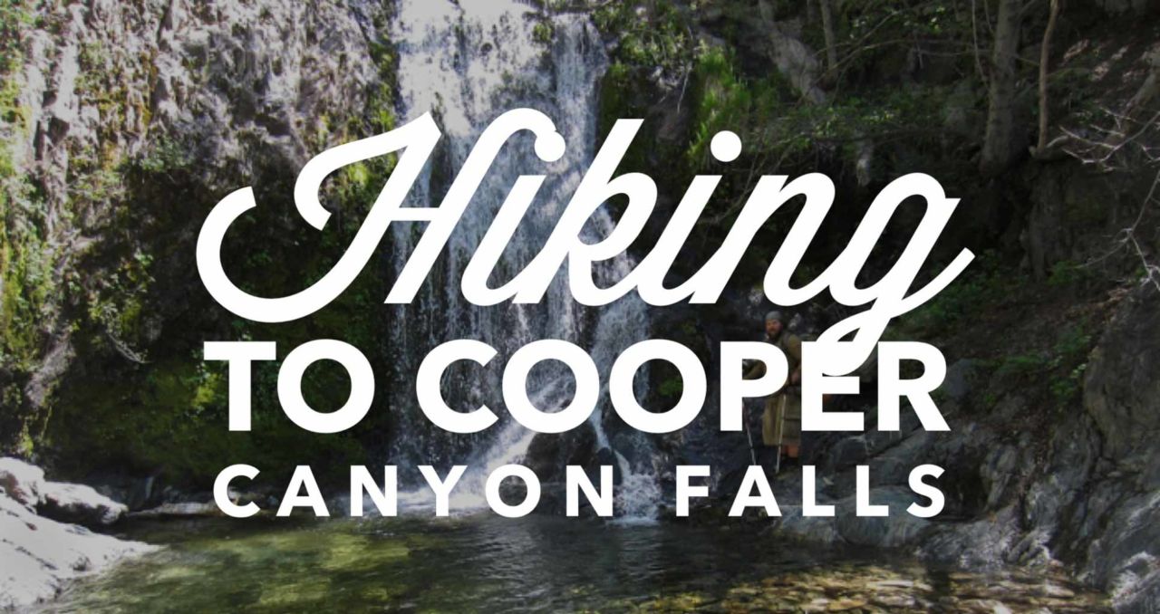
Cooper Canyon Falls is a beautiful waterfall that flows almost year round, but roars in April-May as the spring snow melts.
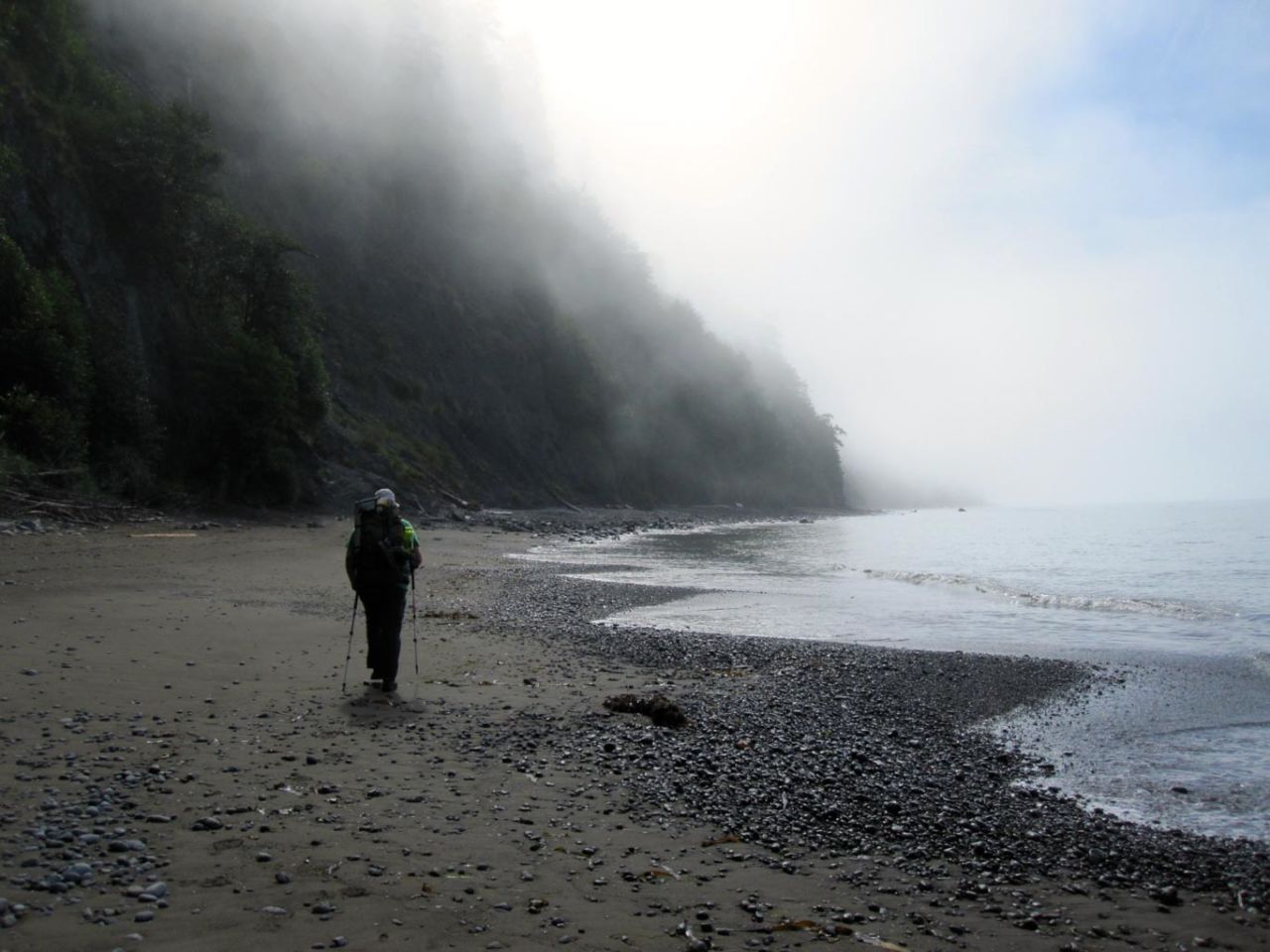
Today was our fourth and final day on the Lost Coast Trail. The last day of any backpacking trip is

We arrived at Mattole Beach early in the evening. The trailhead has a scattering of car campsites, which we were

One of the best-kept secrets of Southern California is San Bernardino Mountain. Just five miles away from the highest
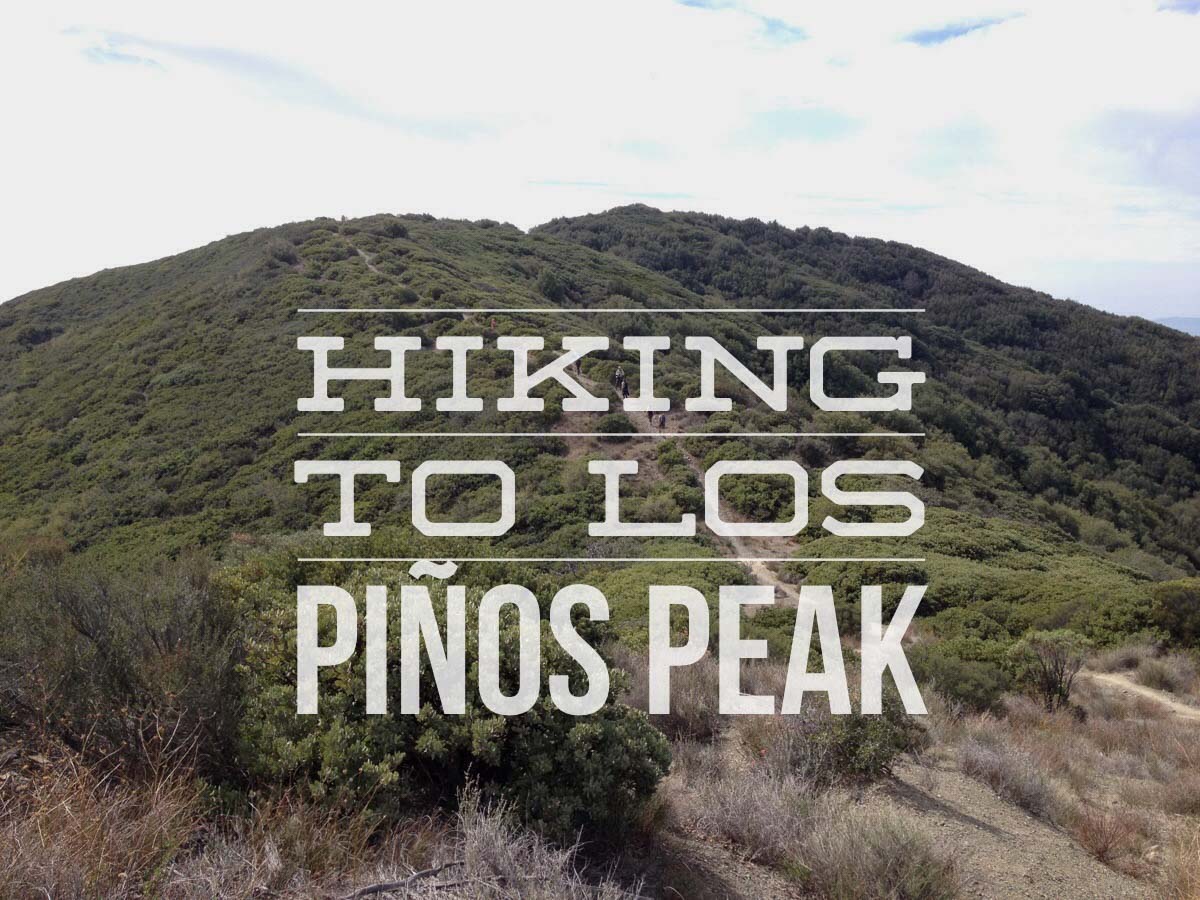
Los Piños Peak sits at 4,455 feet above sea level in the Cleveland National Forest, just west of the Main

The Mount Wilson Trail was built in 1864 by Benjamin “Don Benito” Wilson. He had planned to use it to bring
You must be logged in to post a comment.