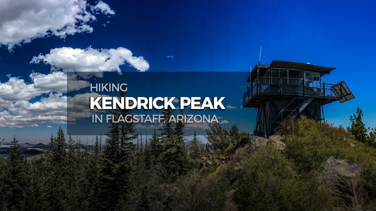
One of the tallest mountains in the San Francisco volcanic field, Kendrick Peak offers spectacular views stretching from Humphreys Peak to the Grand Canyon. The trail begins in a quintessential ponderosa pine forest, travels up through a decades old burn area, and passes by a century-old historic cabin. At the very top, enjoy the scenery from the fire lookout built in the 60’s, or have a picnic in the sun on the platform just below.

Distance: 9.4 miles
Time: 5-6 hours
Difficulty: Strenuous
Elevation gain: 2,851′
Dogs: Yes
When to go: Spring, Summer, Fall
Getting to the Kendrick Peak Trailhead
From Flagstaff, head north out of town on Hwy 180. Continue on 180 for ten miles beyond the turn for Arizona Snowbowl. After mile marker 232, and just before mile marker 233, turn left onto FS 193 – a dirt road with a cattle guard at the start. Go about 3.2 miles until it ends at a T intersection with FS 171. Go right on FS 171, and continue about 2 miles. Turn right onto FS 190, go up about half a mile and you’ll see the trailhead parking area on the right side.
The lot is dirt and all roads from Hwy 180 are unpaved, but regular passenger cars typically have no trouble accessing this trailhead. The start of the trail is located at the northeast corner of the lot. There are garbage cans and a pit toilet, but no running water.

Hiking Kendrick Peak
Take some time looking over the trailhead signage to get your bearings, and learn some history about fires and fire prevention in the Kendrick Mountain Wilderness. Ponder where the Pumpkin name comes from, then pass through the fence to start your hike. The trail begins broad and easy in a forest of ponderosa pines.

The path wraps around the southeast slope of East Newman Hill, then turns north with four quick switchbacks. Here you see increasing evidence of the 2000 Pumpkin Fire.

Continue through the more severe burn area. Around the 1.5 mile mark the trail approaches the drainage dip one last time before switchbacking left. Without a noticeable increase in steepness, the trail climbs onto the southwest ridge of Kendrick Peak.

Once you are on the ridge, this is a nice place to take a break. It’s about the 2 mile mark, and the area is a broad flat shoulder with good spots to park it. After some noshing and sipping, continue switchbacking up the ridge. Somewhere around the eighth or ninth switchback, the trail takes a conifer respite and gives you some birch tree action.

The trail gradually moves east until the 3 mile mark where it crosses the south ridge, continues moving up the southeast side of the mountain, and switchbacks up to the expansive flat just east of the peak. A little beyond the 4 mile mark you will find an old cabin. Built in 1912, this cabin was saved from the Pumpkin Fire by fire fighters who wrapped the structure in fire resistant material.

After imagining the cabin wrapped up like a giant baked potato, continue west on the path toward the peak. There’s a sign along the trail after the cabin that says “Kendrick Lookout”, and about a half mile after that you reach the top of Kendrick Peak!

To the east is Humphreys Peak, and if you look to the north on a clear day you can easily see the Grand Canyon. There’s a fire lookout at the true summit, and a nice platform on the west side of the peak perfect for a summit picnic.

When your eyeballs have had their fill of the view, return down the same way you came up.
Kendrick Peak Trail Map & Elevation Profile
Kendrick Peak Resources
- Forest Service’s web pages with info on the Kendrick Mountain Trail.
Arizona Six-Pack of Peaks Challenge – Summer Edition
This hike is part of the Arizona Six-Pack of Peaks Challenge – Summer Edition. This self-paced hiking challenge includes six hikes all easily reached from the Flagstaff/Sedona area. They are a great way to explore the area, train for bigger adventures, and you’ll be doing good, with a portion of the net proceeds going to support Big City Mountaineers.
Registration for the summer challenge runs between April 1 and September 15. Be sure to check out the winter challenge, too!


You must be logged in to post a comment.