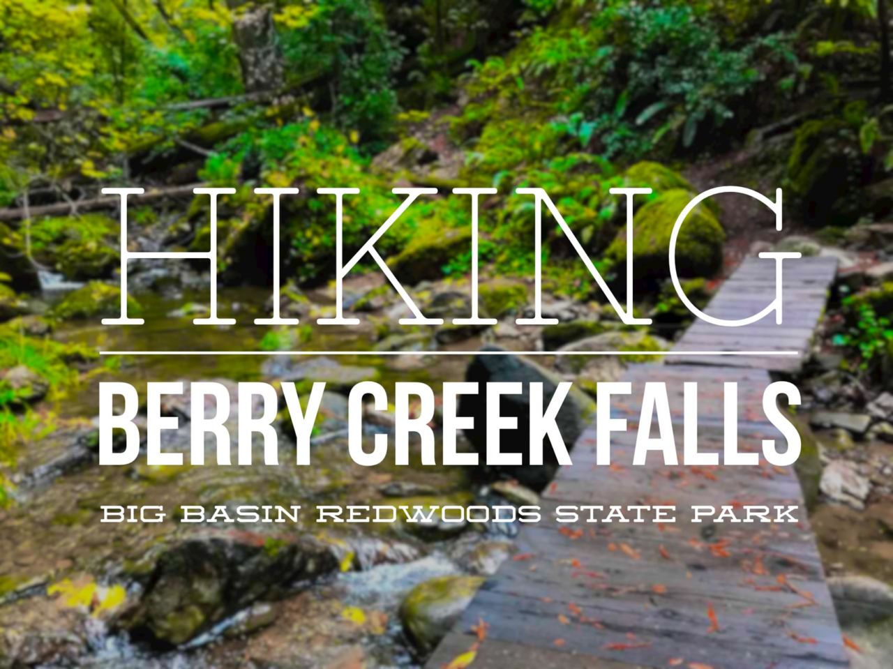
Hiking to Berry Creek Falls in Big Basin Redwoods State Park

Giant old-growth redwood trees, lush forest, babbling creeks and beautiful waterfalls–there is plenty to love about this nearly 11 mile loop hike to Berry Creek Falls in Big Basin Redwoods State Park. Big Basin Redwoods is California’s oldest state park, and features the largest stand of coastal redwoods south of San Francisco. These are tall trees–some more than 300 feet tall and 50 feet in circumference–and they date back 1,000 to 2,500 years old.
Trail Details
Distance: 11 miles
Time: 5-6 hours
Difficulty: Moderately strenuous
Elevation gain: 2,364 ft
Dogs: No
When to go: Year-round
Trailhead Directions
Time: 5-6 hours
Difficulty: Moderately strenuous
Elevation gain: 2,364 ft
Dogs: No
When to go: Year-round
Trailhead Directions
Berry Creek Falls is actually a series of four waterfalls deep in the park. This route will take you down a section of the Skyline-to-the-Sea Trail to the Berry Creek Falls Trail, then return via the higher Sunset Trail to complete the loop. You’ll start and finish at the park headquarters.
From the parking area, I took the Redwood Loop Trail past the amphitheater and took the bridge over Opal Creek, where it joins the Skyline-to-the-Sea Trail.

On the Skyline-to-the-Sea Trail, the trail climbs about 400 feet to Middle Ridge Road−a dirt fire road. The trail crosses the road and from here nearly all the way to Berry Creek Falls it’s all downhill. Of course means that you’ll be doing a lot of climbing to get back. Be sure you save some energy for the return trip!


The basin is lush, with mossy trees, soaring redwoods, ferns and clover carpeting the forest floor.

It had rained the previous night, and moisture clung to every leaf. The trail itself was in great condition, though there were a few slick patches where trekking poles would have been handy.
As the trail descended the canyon along Kelly Creek, I spied a variety of flora and fauna, including my first sighting of a banana slug in the wild!
Banana slugs are brilliant yellow and rather large slugs that are quite common in the Santa Cruz Mountains. In fact, the lowly banana slug is the official mascot of US Santa Cruz. On this hike, I ended up counting twenty-four banana slugs in total.

See the newt?

1 of 24 banana slugs

Given the lush foliage, it’s easy to imagine how quickly these trails could be lost if they weren’t maintained. Fortunately, that’s not a problem. The trail is easy to follow with great tread, well marked signage and steep sections like this cut with steps to curb erosion.

Four miles into the hike I reached the double bridge over Waddell Creek. These are considered seasonal bridges that are removed when the creek runs high, but there was no issue for me at the end of October.

Another 100 yards further and the trail reaches a junction with the Berry Creek Falls Trail toward the right. I took it, and was soon rewarded with an amazing view of the biggest of the falls on Berry Creek.

There is a great viewing deck near the base of this waterfall, with benches that make a perfect spot for a break. I chatted with the first two hikers I had seen on this Monday morning−a pair of backpackers that had spent the night up the trail at Sunset Camp. We swapped hello’s and shared a bit about our respective adventures, and I continued up the trail.
The Berry Creek Falls Trail is a real gem, with a series of beautiful and different waterfalls as you ascend. The trail climbs about 500 feet in a mile, finally terminating at the junction to Sunset Camp and the Sunset Trail−the final trail in this loop.

Observation deck from the main waterfall


The second tier of Berry Falls

Slippery steps


Bottom of a multi-tiered cascade

The Sunset Trail is 5.3 miles of rollercoaster trail; lots of up and down. It runs well above the canyons in sections, giving you views out over the redwoods.

Along the way you’ll pass junctions with the Timm’s Creek Trail and a connector with the Skyline-to-the-Sea Trail before finally crossing the Middle Ridge Road and the final descent to finish the loop.


Take your time as you walk through these ancient groves. Think about the centuries of history they have lived through. You and I and the others who have passed these trees through the millennia are connected through this shared experience.

Redwood grove

Closing the loop

Visit the museum
Back at the trailhead, stop by the museum for a look at the history and the research that continues at the park. Be sure to check out the intricate wood model of the park that shows the topology and the distribution of the various kinds of trees in the park.
Skyline to the Sea/Sunset Trail Map and Elevation Profile
Berry Creek Falls Tips
- The bridge crossing Waddell Creek is removed when the creek is running high. Check with the ranger for current conditions. You can call the park to check before you go at (831) 338-8860.
- Hike this loop in a clockwise direction (as described) for the best views.
- The trail can be slippery. Wear trail shoes with good traction.
- There is a $10 per car day use fee, but no permits are required for day hikes. You will be given a slip of paper to note your planned route and time of return and leave on your car dashboard. Fill it out. The day before I hiked this, a mother and her two young children got lost in the park. They huddled under a redwood in the rain until (fortunately) the rangers found them.
- You can also backpack this loop, camping overnight at Sunset Camp (near the midpoint). Permits are required.
More Big Basin Redwoods State Park Resources
- Big Basin Redwoods State Park − Official website
- Driving directions to Big Basin Redwoods State Park − Google Maps
21600 Big Basin Way, Boulder Creek, CA 95006 - Berry Creek Loop − Redwood Hikes
Big Basin Redwoods State Park Weather Forecast
[forecast width=”100%” location=”95006″]

I hiked this trail solo on October 31, 2016.
You must be logged in to post a comment.