Hiking to Aliso Peak
Seaview Park
Easiest
1.6 mi
Out-and-back
1.6 mi
2.6 km
Distance
533 ft
162 m
Gain
683 ft
208 m
Summit
60-80 min.
Est. time
South Orange County is often dismissed as a snooty, well-to-do slice of suburbia filled with malls, expensive cars and cookie cutter houses. It may fit that stereotype on the surface, but there is much more to explore. There are hidden trails like the Aliso Peak Trail above Laguna Beach.
This short-but-sweet trail provides a perfect mid-week attitude adjustment, especially on a hot summer day. It’s the perfect way to decompress after a day at work.
Getting to the Aliso Peak Trail
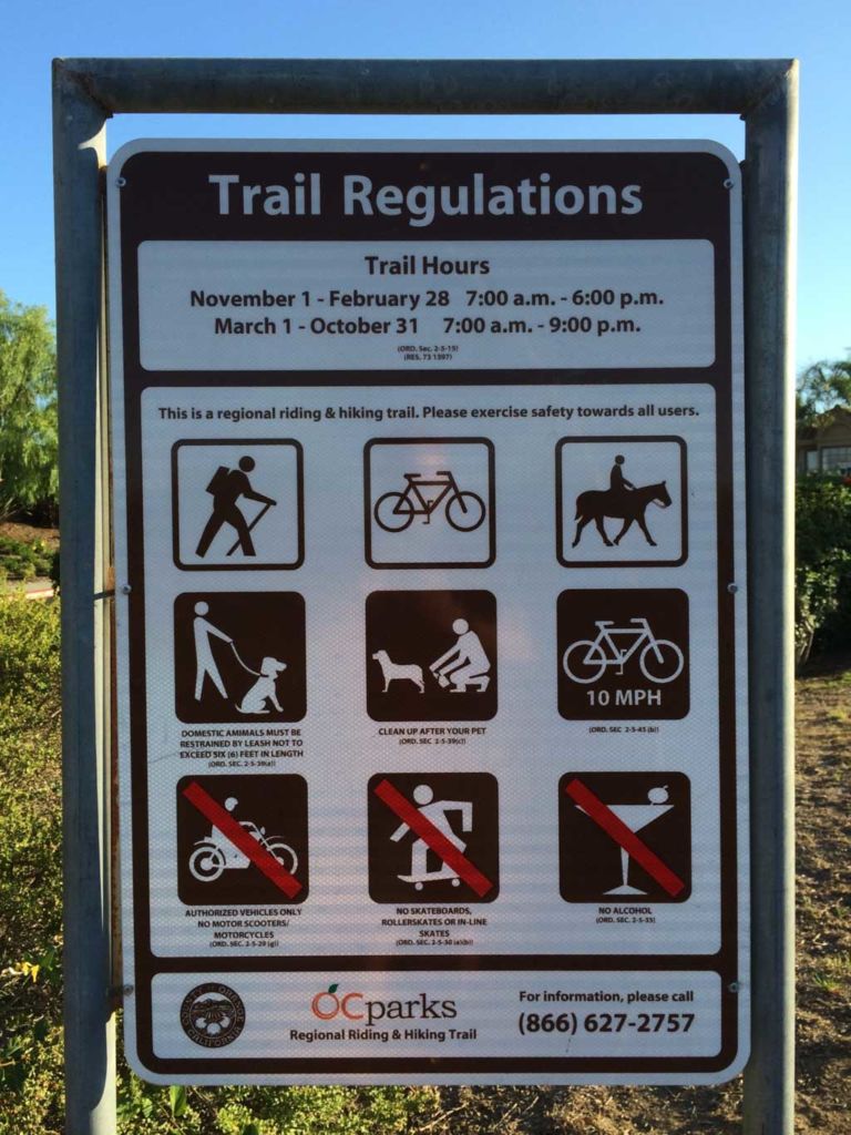
The Aliso Peak Trail is officially part of Aliso and Woods Canyon Wilderness Park, but you won’t find it connected to the more familiar parts of the park. The entrance is at the west end of Seaview Park in Laguna Niguel. There is free street parking along Talavera Drive. View in Google Maps. The park’s hours are 7am – 9pm March 1 through October 31, and 7am to 6pm November 1 through February 28.
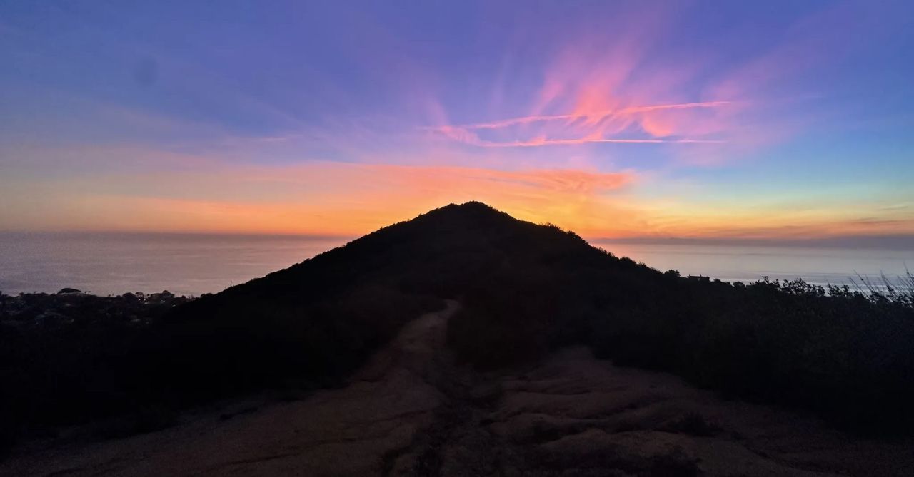
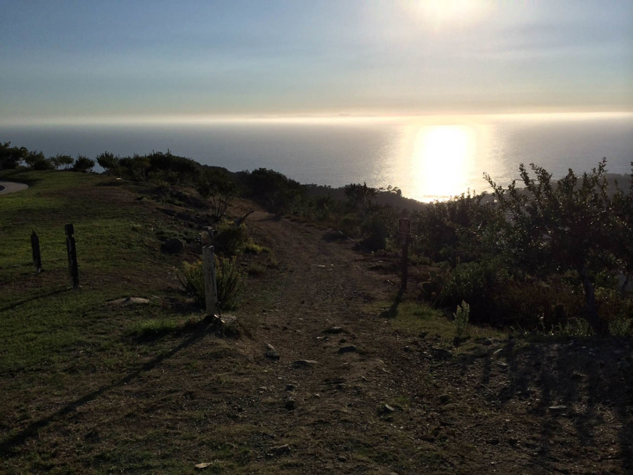
Hiking to Aliso Peak
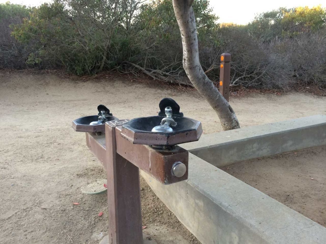
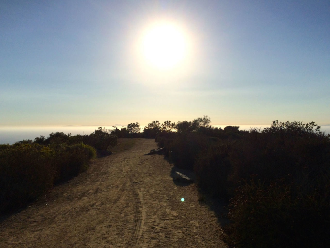
From the green grassy Seaview Park, make your way to the west end (closest to the guard shack for the gated community beyond). You’ll see drinking fountains and information signs about the park. From here, the wide dirt trail follows the ridge line with condos on your left, and Aliso Canyon on your right.
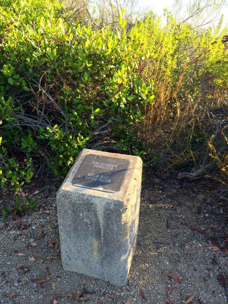
The plants you see along this trail have been maintained in their natural condition. This is one of the few areas where plants of the inland mountains and north coastal California grow side-by-side with plants from San Diego County and Baja California. Many of the plants have been identified with markers along the way.
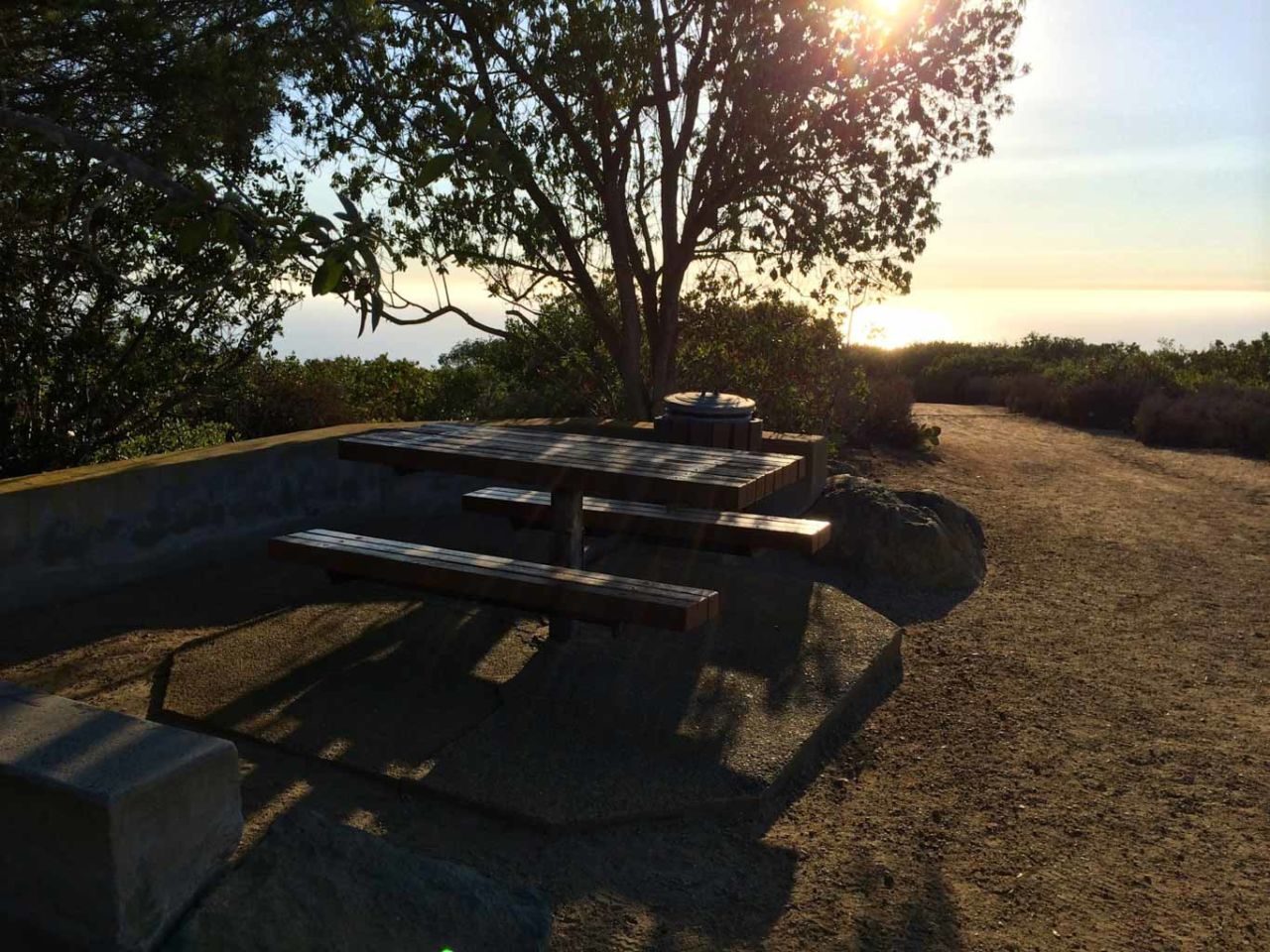
At about 0.3 miles you reach the last picnic table, with awesome ocean views.

From here, veer to the left to find a steep, gravely trail that heads down towards Aliso Peak. Yes, this is one of the few peaks you’ll ever bag where you start out looking down at it.

The trail opens up along a street lined with McMansions. Watch for the posts on the right that indicate the trail down. Take it.

At 0.7 miles you reach a saddle junction with the Toovet Trail, which ascends from Laguna Beach below. Stick to the right and head up the fairly steep final push to the summit of Aliso Peak.

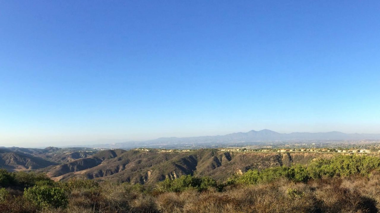
When you reach the summit of Aliso Peak, you’re rewarded with great views of the Laguna coastline. And a bench to catch your breath on, or to sit while you watch for whales, or enjoy the sunset. Take some time to just be. That’s where this little trail excels.

Going back, you simply retrace your steps. Although I’ve classified this trail as easy due to the short length, it’s not really for hiking beginners. The hills are steep, a little treacherous and really get your heart pumping.
You can modify this to just take in the easy top section and skip the peak. Then it’s family- and stroller-friendly and a perfect picnic spot. You can also string this together with the Aliso Summit Trail (with a little sidewalk time) and turn this into a longer more serious hike.
Aliso Peak Trail Map
Aliso Peak Tips
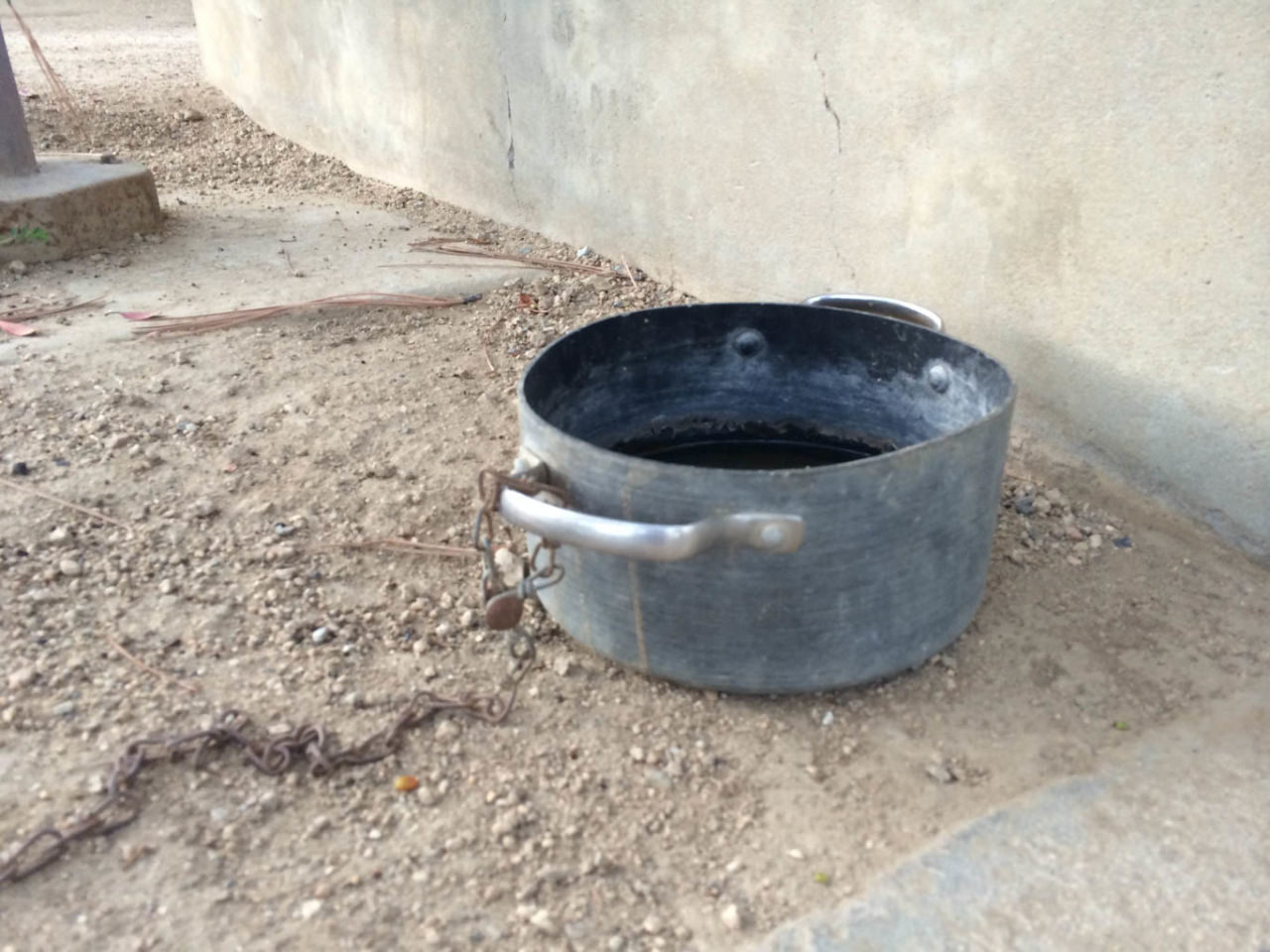
- Dogs are allowed, but must remain on leash. There are drinking fountains and a dog bowl at the trailhead.
- There are a number of picnic tables on the first part of the trail, and most of them have great views.
- Aliso Peak is a great spot whale watching during the annual migration, January through April.
More Aliso Peak Resources
- A great spot to take kids for a geology lesson is the nearby Badlands Park.
- Aliso and Woods Canyon Wilderness Park map (PDF)
- Official Aliso and Woods Canyon Wilderness Park web site
- Download the GPX file
You must be logged in to post a comment.