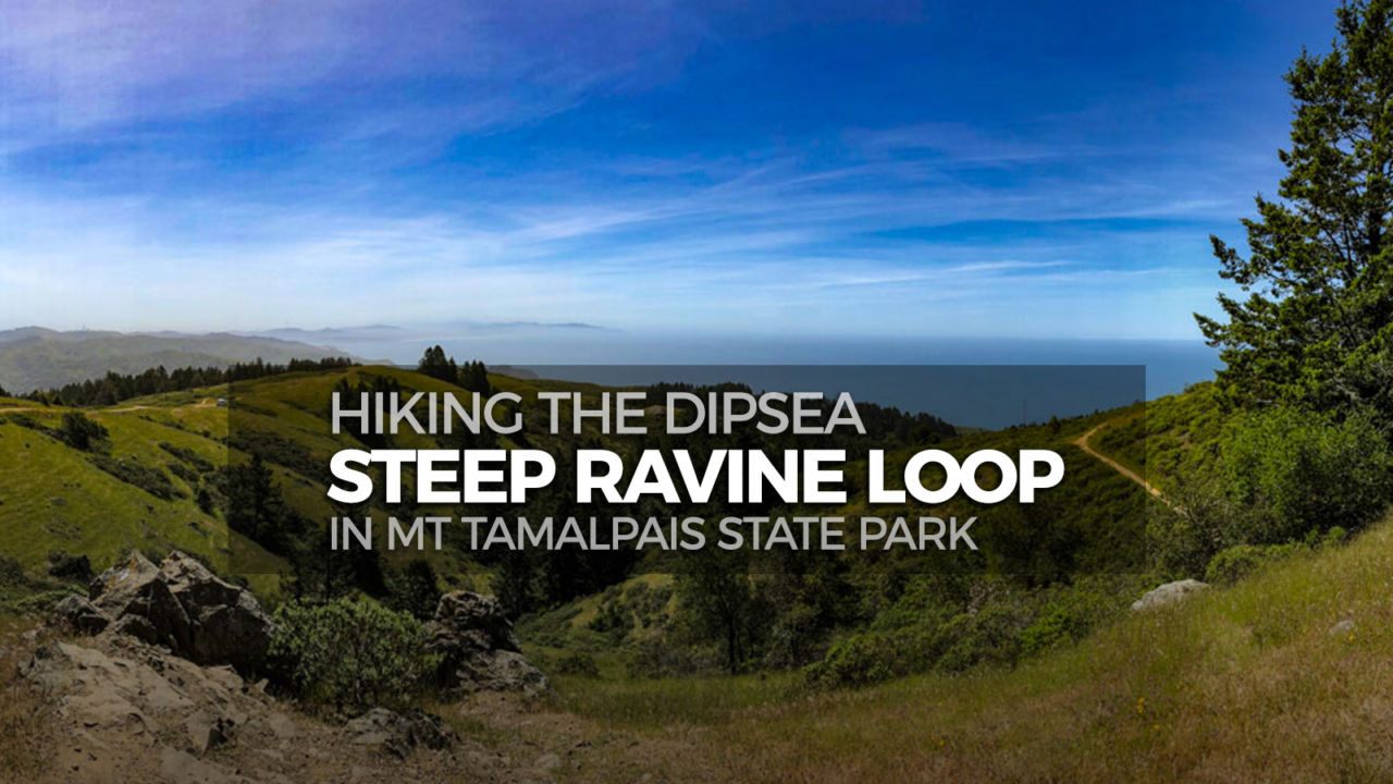
Hiking the Dipsea – Steep Ravine Loop in Mt Tamalpais State Park

The Dipsea-Steep Ravine Loop is a moderately easy 4.6-mile hike that makes a perfect introduction to Mount Tamalpais State Park, especially when water is flowing in Webb Creek. It offers shady forest, historical points of interest, an actual water fountain on the trail, fern-lined trails through towering redwoods, playful cascades and pools in a cool, deep canyon, and panoramic coastal views. I had hiked up the Steep Ravine Trail when I tackled Mount Tamalpais from Stinson Beach, and I’d been down the Dipsea Trail from Bayview in Mill Valley, but combining the two in this loop makes it a perfect intro to the area for someone who doesn’t have the time or energy for those longer hikes.
Trail Details
Distance: 4.6 miles
Time: 2 hours
Difficulty: Moderate
Elevation gain: 1,093 ft
Dogs: No
When to go: Year-round
Time: 2 hours
Difficulty: Moderate
Elevation gain: 1,093 ft
Dogs: No
When to go: Year-round
Getting to the Trailhead
The Pantoll Campground parking area is at 3801 Panoramic Hwy, Mill Valley, CA 94941 in Mt Tamalpais State Park. The parking area is shared by campers, day hikers, and folks overnighting at the West Point Inn, and there are numerous trails emanating from this central location. There is an $8 per car day use fee, payable through self-registration envelopes at the Pantoll visitor center.


There are restrooms and water available. The trailhead begins and ends at the south end of the parking area.
Being a loop trail, you could hike this in either direction, but I recommend the clockwise direction described below.
Hiking the Dipsea–Steep Ravine Loop
From the south end of the Pantoll parking lot, head down the Deer Park Fire Road for a short 100 feet, then turn right onto the Old Mine Trail.

The Old Mine Trail winds around the hillside under a shady canopy of trees. Along the way, the trail passes a marker for the namesake mine. The Denos Claim never delivered riches, and was sealed years ago. It’s an interesting bit of history though.


As you break through the trees, you rejoin the fire road. Just off the trail to your right is Veteran’s Bench. You haven’t hiked far enough yet to warrant a rest, but take a few moments to stop here anyway and soak in the views.


Continue down the fire road to the junction with the Dipsea Trail at the top of Cardiac Hill. There is a working water fountain here, mainly for hikers on the Dipsea Trail who have hiked (or run) up from the bottom of Muir Woods. Take the junction with the Dipsea Trail to the right where it cuts down across the hillside beneath the Veteran’s Bench, heading towards the Lone Tree Spring.

The Lone Tree Spring is just off the main trail. As you near the bend around the hill, watch for a series of stone steps on your right heading into the woods. This short detour takes you about 10 yards off the main trail, but you will discover the Lone Tree Spring, erected in 1917, and across from it, the (no longer) Lone Tree–a towering redwood that once stood alone on this hill.


The spring is still running, with a stone trough collecting the water. It looked a little murky, so I wouldn’t drink it without treating the water first, but it’s pretty need to see something that’s been there serving hikers like you for over a century.
Take a moment to reflect on the many people who have visited this place and hiked this beautiful trail over the past 100 years or more. The clothing, shoes and gear has changed, but the sense of awe remains. Step back out to the main trail and continue heading down toward Steep Ravine.
You soon enter a grove of young redwoods towering towards the sky like columns in an old cathedral. The trail quietly switchbacks down into the canyon.

As you get closer to Webb Creek, the foliage grows thick and lush. You encounter rough hewn steps and the occasional stray rebar sticking out of the trail where a wooden step has weathered away.

Finally you can hear the water from Webb Creek splashing down Steep Ravine and catch a glimpse of the bridge at the bottom of the canyon. The other side of the bridge marks the junction of the Dipsea Trail (which continues on to Stinson Beach) and the Steep Ravine Trail (the uphill portion of our loop).

Whenever I’m hiking with a group, we may spread out as we find our own pace, but we always make a point to regroup at junctions, and this bridge is the perfect spot.
From there, head upstream on the Steep Ravine Trail along seasonal Webb Creek. This section of the trail is especially beautiful when the water is flowing as it was when we hiked up. The trail crosses the creek several times on sturdy wooden bridges, and winds between redwoods and up the canyon on steep stone or wood steps.


After hiking 0.8 miles up the canyon from the junction, the trail climbs a ladder over large boulders before continuing on toward Pantoll. Just another of the ways this trail delights.

Finally, the trail leaves Webb Creek and heads up the side of the ravine following a series of shade-covered switchbacks. It’s the last push back to Pantoll Camp and the end of the loop.

Old Mine > Dipsea > Steep Ravine Loop Trail Map & Elevation Profile
Dipsea-Steep Ravine Loop Tips & Resources
After hiking, head down to Stinson Beach for lunch. We hit the Siren Canteen. It’s right on the beach and has great Mexican food, wine and beer. The view’s not bad, either.


Stinson Beach Weather Forecast
[forecast width=”100%” location=”94970″]
Originally hiked on May 11, 2018 with Joan.
You must be logged in to post a comment.