
Picacho is one of those peaks that you look at and can’t tell how there’s possibly a trail to the top, so it’s no surprise that this is one of the most exciting two and a half mile hikes out there. Once you make it beyond the halfway saddle, it’s a rollercoaster of a mountain and emotion. You’ll be thankful for the system of steel cables there for you to cling to along all the steep, bare rock sections. Don’t forget to pack a pair of gloves!
Getting to the Trailhead
Distance: 2.4 miles
Time: 3 hours
Difficulty: Strenuous
Elevation gain: 1,986 ft
Dogs: Only to the half-way saddle
When to go: Fall, Winter, Spring
Trail hours: Sunrise to Sunset
The trailhead has no toilets or water, so stop at the visitor’s center if either are needed.
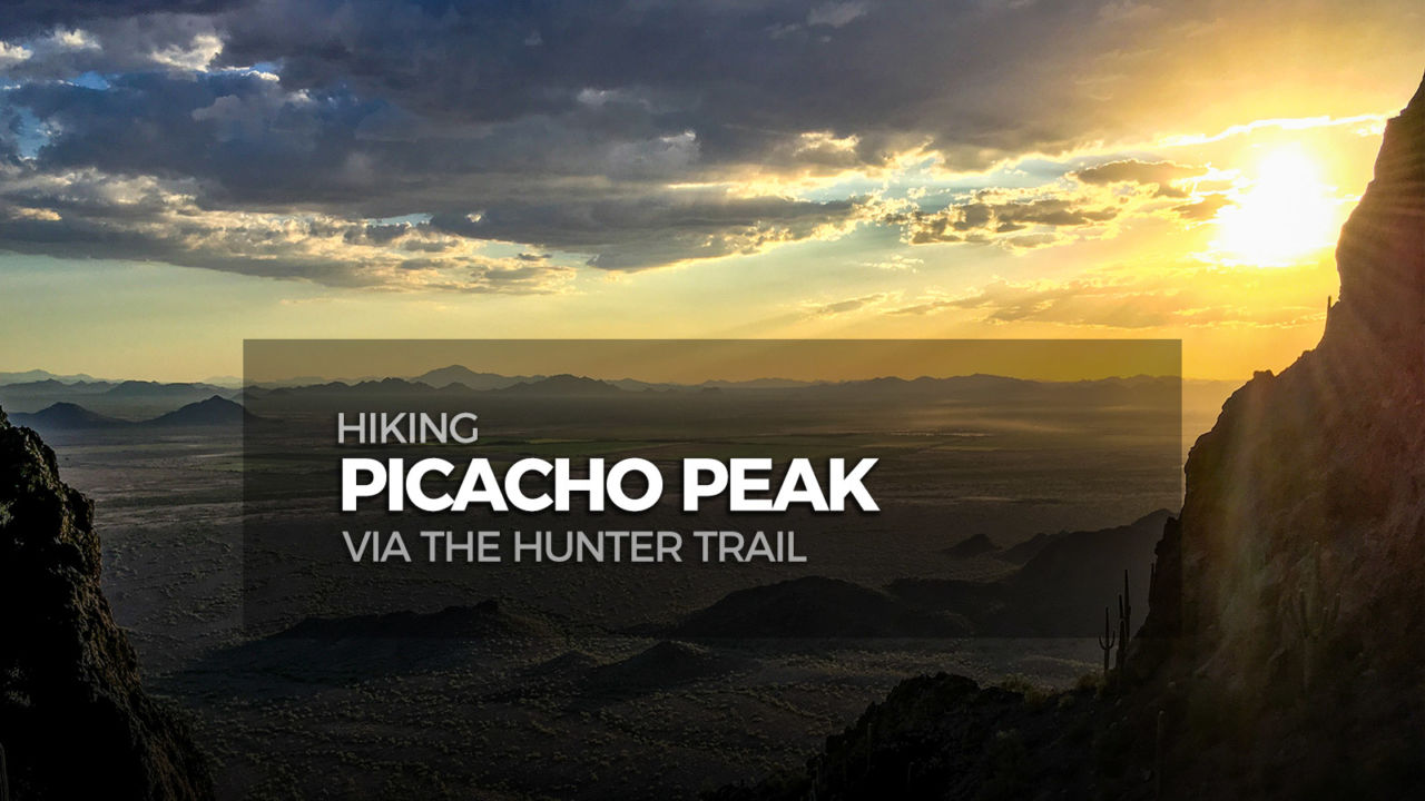
Hiking Picacho Peak via the Hunter Trail
There are two trails out of the parking area, so make sure you start on the one that goes right and up towards the peak. There is a very obvious sign next to the correct trail that says “Hunter Trail To the Top of the Peak”.

Out of the parking lot, the trail starts with a gentle uphill grade and a few slight turns. There are a lot of man-made wooden steps, some obvious trail signs to guide you, and a few sections of cable that you’ll later laugh at on your way back down from the summit.
After a half mile of this easier terrain, you get up to a rock face and the trail makes a left turn. You’ll drop away from the wall briefly, then climb back up towards the next larger rock face. Around mile 0.65 you’ll come to the base of the wall where there’s an overhang carved out making a shallow cave, and the trail will make a sharp switchback to the right. Continue up for about another tenth of a mile where you’ll reach a saddle.
The view south opens up nicely here, and there’s even a bench for you to rest a moment before the real challenge begins.

As the sign next to the bench points out, the trail turns left here. Walk towards the towering rock face on your left, and you’ll see a cable railing system begin and curve down, down, down along the base of the wall.

The trail drops about 300 vertical feet here. As you drop you’ll have a single cable, two cables, wooden steps, or all three at the same time. At the bottom of this drop, the trail turns left and traverses relatively flat for a moment then begins to curve uphill again. There are a few mellow cabled parts in this stretch, trail signs and small white arrows painted on the rock to guide you through some switchbacks, then around the 1.0 mile mark there’s a junction with the Sunset Trail.

Keep left at this junction, following an obvious “TO PEAK” sign. From here to the peak the cables get serious.
They look a little scary at first, but once you’re in them you feel quite secure. Take your time through each, and use them to help you navigate. Once you clear one set, look up ahead for the next.
After about 150 vertical feet of cables and rock, you come to a large amphitheater dotted with saguaros.

Follow the trail clockwise and up around the inside of the bowl. On the far side you’ll come to the steepest cabled section on the mountain. The cables feel nearly vertical here, but there is decent footing up and through the metal doorframe. At the top of this section, go left to traverse through the final cables. Ahead you’ll find a straight drop to the parking lot side of the peak. Turn right, switchbacking through the final stretch to the summit. Take in the 360 degree view from the top of this dramatic peak!

Once you’ve mentally prepared to go back down through the gauntlet, return the way you came.
Picacho Peak via the Hunter Trail Map & Elevation Profile
Picacho Peak Hiking Resources
- Official Picacho State Park website
- Don’t forget to pack some light gloves to help protect your hands on the cables
- The state park has an entrance fee of $7 per car
- Get turn-by-turn driving directions to the trailhead via Google Maps
Picacho Peak Weather Forecast
[forecast width=”100%” location=”85131″]

Arizona Six-Pack of Peaks Challenge – Winter Edition
This hike is part of the Arizona Six-Pack of Peaks Challenge – Winter Edition. This self-paced hiking challenge includes six hikes all easily reached from the great Phoenix metropolitan area. They are a great way to explore the area, train for bigger adventures, and you’ll be doing good, with a portion of the net proceeds going to support Big City Mountaineers.

You must be logged in to post a comment.