• COVID-19 Park and Trail Closures
  • Learn about the Six-Pack of Peaks Challenge
  • Shop
  •  

SoCal Hiker

  • Find a Hiking Trail
    • All Areas
    • Arizona
    • Colorado
    • Los Angeles
    • Orange County
    • Oregon
    • San Francisco Bay
    • Washington
  • Trail Guides
  • Six-Pack of Peaks
    • Colorado Six-Pack of Peaks
      • Bergen Peak
      • Rocky Mountain
      • Birthday Peak
      • Horseshoe Mountain
      • Grays Peak
    • New England Six-Pack of Peaks
    • NorCal Six-Pack of Peaks
      • Mount Umunhum
      • Mount Saint Helena
      • Mount Tamalpais
      • Mount Diablo
      • Mount Sizer
      • Rose Peak
    • Oregon Six-Pack of Peaks
      • Tumalo Mountain
      • Black Butte
      • Black Crater
      • Maiden Peak
      • Mount Bachelor
      • South Sister
    • SoCal Six-Pack of Peaks
      • Mt. Wilson
      • Cucamonga Peak
      • Mt. San Antonio (Mt Baldy)
      • San Bernardino Peak
      • San Jacinto Peak
      • San Gorgonio
  • Backpacking
    • High Sierra Trail
    • John Muir Trail
      • Overview of the John Muir Trail
      • Training
      • Day-by-Day Itinerary
      • Resupply Addresses
      • JMT Discussion Forum
    • Lost Coast Trail
    • North/South Lake Loop
    • Rae Lakes Loop
    • Red Peak Pass Loop
    • Theodore Solomons Trail
    • Trans-Catalina Trail
    • Wonderland Trail
  • Gear
  • Forums
    • Latest Topics
    • Ask a Question
    • Campfire
    • Trails
    • Trail Reports
    • Gear Wisdom
    • Classifieds
  • Login

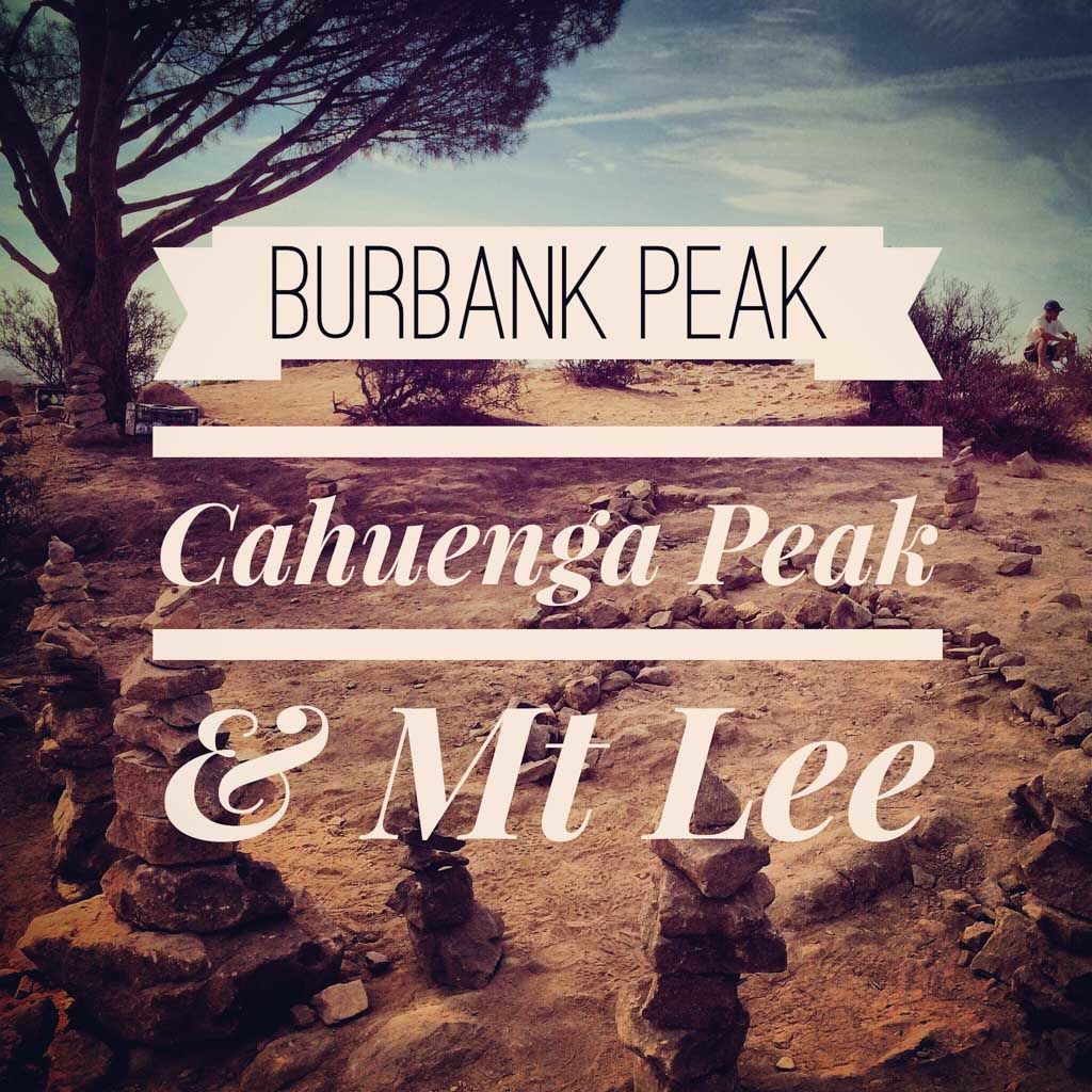
Burbank Peak, Cahuenga Peak, Mt. Lee and the Hollywood Sign

June 25, 2013 By Jeff Hester 4 Comments

The Wisdom Tree

Are you a peak bagger? I have a hiking friend who loves to bag peaks — or for the uninitiated, hike to the summit. His goal is to reach the summit of as many of the high and prominent peaks as he can.  He would love this trail, which takes you up three peaks in a short-but-steep 3.25 miles: Burbank Peak, Cahuenga Peak and Mount Lee (home to the world famous Hollywood Sign).

Trail Details
Distance: 3.25 miles
Time: 3 hours
Difficulty: Moderate
Elevation gain: 1,691 ft
Dogs: Yes
When to go: Year-round
Do you love rugged single track hiking trails? Often hiking trails near urban areas follow broad double-track fire roads — not much of a “true” trail experience for some hikers.  This rugged, sometimes steep trail is almost entirely single track, and when you reach the ridge line, rewards you with great views over Los Angeles and the Valley.

Are you just looking for the shortest route to the Hollywood Sign? Well, that would also be this trail. While not for beginners, it is the shortest, quickest way to reach the famous Hollywood Sign.

Overview of the Wonder View Trail

Getting to the Trailhead

The trailhead begins at the end of Wonder View Drive in Hollywood, but you will have to park on Lake Hollywood Drive. There’s plenty of free parking along the street — which is also where you would park for the Hollywood Reservoir Loop. Here’s the trailhead map — click the pin for driving directions.

Trail Description

From the corner of Wonder View Drive and Lake Hollywood Drive, hike up Wonder View to the end of the street. Beyond the gate, the road becomes a gravel fire road, and shortly thereafter you’ll see the single track trail leading up stair steps cut into the slope.

Steep climb up Burbank Peak

The soil is loose, dry and dusty. Trail shoes are recommended. You’ll climb 600 feet in that first mile, gaining some great views of the Hollywood Reservoir and LA proper along the way.

IMG_9988

When you reach the ridge, turn left and head to the lone pine tree on the summit of 1690′ high Burbank Peak. The tree is known as the Wisdom Tree, and is the only tree to survive of a devastating wild fire here in in 2009. The Wisdom Tree on Burbank Peak is a popular spot for geocaching, and there have at times been a summit register. It’s also one of the only spots on this trail where you have shade, so you’d be wise to pause here and enjoy it — the remainder of the trail is fully exposed.

Approaching the summit of Burbank Peak

Cahuenga Peak Benchmark

Cahuenga Peak bench mark

With most of the elevation gain already behind you, backtrack on the  trail, passing the junction the Wonder View Trail. Continue along the ridge line toward 1820 foot high Cahuenga Peak — the 12th highest peak in the Santa Monica Mountains. As you thread your way along the ridge line, you will look down over Burbank and the Valley to your left, and Hollywood and Los Angeles to your right. When you reach the peak, soak in the views. On a clear day you’ll take in the mighty San Gabriel Mountains to the east, and the serene Pacific Ocean to the south —  reminding you why Southern California is such a great place to live.

The trail continues along the ridge, reaching a small clearing before connecting with the paved road for the last few yards to Mt. Lee and the Hollywood Sign. In the clearing are two plaques recognizing major contributors who made this trail and its inclusion in Griffith Park possible — Aileen Getty and Hugh Hefner. Yes, this is possibly the only hiking trail anywhere in the world that honors a Playboy.

IMG_0013

You’ll follow the trail down to the paved road where you’ll join the throngs making their pilgrimage to the Hollywood Sign. Brush off their “where did you come from” looks and follow the road as it curves up behind the sign. For the best views of the sign and the city, keep going until you reach the top of 1690 foot Mount Lee.

Hollywood Sign

When you’re ready to head back, you’ll retrace your steps to the junction with the Wonder View trail, and back down to the trailhead. All told, this trail can be easily hiked in about three hours.

If you want to extend the hike, you can add the 3.4 mile Hollywood Reservoir Loop trail. It’s mostly flat and has quite a bit of shade, depending on the time of day, and it begins at the bottom of the hill where you parked your car, making it a perfect option if you want to keep hiking.

Special thanks to Casey at Modern Hiker for introducing me to this awesome trail.

Cahuenga Peak Trail Map

© OpenStreetMap contributors
Download

Photo Gallery

Click on any photo to view a larger version. You can also leave comments on any photo.

IMG_0019
IMG_9987
Approaching the summit of Burbank Peak
IMG_9990
IMG_9991
IMG_9992
IMG_9993
IMG_9994
IMG_9995
IMG_9996
IMG_9997
IMG_9998
Cahuenga Peak Benchmark
IMG_0001
IMG_0002
IMG_0003
IMG_0004
IMG_0005
IMG_0006
IMG_0007
IMG_0009
IMG_0010
IMG_0011
IMG_0012
IMG_0013
IMG_0014
IMG_0015
IMG_0016
IMG_0017
IMG_0018
Steep climb up Burbank Peak
IMG_9986
Overview of the Wonder View Trail
Here's the elevation gain reported by Google Earth.
Here’s the elevation gain reported by Google Earth.

Cahuenga Peak Hiking Tips

  • Take plenty of water. And then take more. This trail is hot and dry, and you’ll need more than you think.
  • While you can hike this year round, keep in mind that it gets hot and has full exposure. I recommend hiking in the cooler morning hours.
  • There is wildlife. Be alert. There are rattlesnakes, deer and other animals in this area.
  • Leave no trace. Take only photos, leave only footprints.

More Cahuenga Peak Resources

  • GPS user? Download the GPX file[urldisplaymode=nomap].
  • View the trail in Google Earth[urldisplaymode=nomap]
  • Get a second opinion… Hiking to the Wisdom Tree and Cahuenga Peak – Modern Hiker
  • Optional Hollywood Reservoir Loop hike
  • An alternate hike to the Hollywood Sign, with a stop at the Bronson Cave
  • History of Cahuenga Peak – Wikipedia

Cahuenga Peak Weather Forecast

The location could not be found.


Related

Filed Under: Trail Guides Tagged With: 3-6 miles, dog-friendly, Famous Hollywood Sign, Griffith Park, Hiking Trails, Hollywood, Hollywood Reservoir, Hollywood Sign, LA County, moderate, peak, peakbagging, Santa Monica Mountains, The Hollywood Sign, vista

Like what you found here at SoCal Hiker? This site is a labor of love. Share your support for the site and help us development of new trail guides and expanded coverage -- make your next outdoor equipment purchase through our advertisers.

You can also subscribe to our weekly newsletter and follow us on Facebook or Twitter.

Jeff H

About Jeff Hester

I'm an avid hiker and backpacker. My wife Joan and I are on the trails every weekend. I started SoCal Hiker to share my passion for outdoor adventure.

Comments

  1. please check says

    June 25, 2013 at 12:21 pm

    Elevation gain: 1,712 ft ?

    Reply
  2. Jeff HJeff Hester says

    June 25, 2013 at 1:51 pm

    Thanks for the feedback, Please Check. I grabbed that data from my GPS. I doubled checked that against what Google Earth reports, and adjusted downward from 1,712 to 1,691 (only 17′ less).

    It’s possible that the GPS data has too much “noise.” If I smooth out the data (see this profile) it would reduce this total.

    What do you think it should be? Don’t be shy…

    Reply
  3. Joe A says

    August 31, 2015 at 2:20 pm

    Thanks for this!
    we went yesterday and it was a blast!

    I live nearby and never heard anyone mention this trail.
    We’re not fast and stopped quite a few times, and were still done in 2.5 hours.

    Reply
  4. scott smith says

    April 24, 2017 at 4:37 pm

    I’m heading to LA in a few weeks with my kids who are big hikers. They want to hike up to the Hollywood sign but I see a lot of info that says all these ways in are closed or gated. Are there several ways to hike up to it? Thanks

    Reply

Leave a Reply Cancel reply

Your email address will not be published. Required fields are marked *

This site uses Akismet to reduce spam. Learn how your comment data is processed.

About Jeff Hester

I created SoCal Hiker while preparing to thru-hike the John Muir Trail. My goal? Create guides for the best hiking trails throughout Southern California--and occasionally beyond. I personally hike each trail to create these guides, sharing practical advice on gear and outdoor skills. Read more...

Connect with SoCal Hiker

  • 22,242 Fans
  • 11,786 Followers
  • 21,640 Followers
  • 1,689 Followers
  • 5,471 Subscribers
  • 333 Subscribers

Get the SoCal Hiker Newsletter

Sign up to get your weekly trail recommendation and the latest updates from SoCal Hiker.

SoCalHiker was selected one of USA TODAY's 10 Best Hiking and Outdoor Blogs
Get our day-by-day guide to thru-hiking the John Muir Trail
Get up-to-day wildfire status throughout California

Products

  • Mt Baldy Mug Mt San Antonio (Mt Baldy) Mug $15.95
  • Cucamonga Peak mug Cucamonga Peak Mug $15.95
  • 2017 Women's Six-Pack of Peaks Racerback Tank $27.00
  • Mt Shasta Benchmark Mount Shasta Benchmark $39.95

Sponsors

Sponsor SoCalHiker and see your banner here

Featured Posts

Hiking Black Mountain in Rancho San Antonio County Park

At 2,812 feet, Black Mountain looms large, way up, and behind, the smaller hills to … [Read More...]

Hiking Camelback Mountain via the Echo Canyon Trail

Camelback Mountain is the most popular mountain to hike in the Phoenix area for good … [Read More...]

Hiking to High Point on Palomar Mountain in the Cleveland National Forest

Appropriately named High Point is the highest peak in the Palomar Ranger District of … [Read More...]

Lastest Comments

  • Susan Alcorn on Hiking Mount Sizer Loop in Henry Coe State Park
  • Oliver John on 10 Overnight Backpack Trips in Southern California
  • Gustavo on Social Distancing on Public Trails
  • katrien on Gear Review: BioLite Stove
  • Jacob on Vital Link Trail to Verdugo Peak
Get your SoCalHiker stickers now

Get your SoCalHiker stickers!

Latest Posts

  • Hiking Black Mountain in Rancho San Antonio County Park January 31, 2021
  • Hiking Camelback Mountain via the Echo Canyon Trail December 9, 2020
  • Hiking to High Point on Palomar Mountain in the Cleveland National Forest December 4, 2020
  • Hiking Hot Springs Mountain on the Los Coyotes Reservation November 19, 2020
  • New Day Hiking Permit Requirements for Wilderness Areas in the San Bernardino National Forest August 31, 2020

Recent Forum Topics

  • 1st overnight backing trip
  • Recommendations for trips for me and my dog
  • log hikes
  • My Baldy
  • Cactus to Clouds v. Iron Mountain

The Six-Pack of Peaks Challenge Series

Six-Pack of Peaks Challenge SeriesThe Six-Pack of Peaks Challenge gives you an opportunity to explore your world while supporting a great cause.

Flex your adventure muscles!

Learn more here.


Search

Tags

3-6 miles 6-8 miles 8-10 miles 11+ miles Arizona Backpacking coastal dog-friendly easy family-friendly High Sierra Trail hiking Hiking The John Muir Trail hipster inspiration JMT John Muir John Muir Trail Kings Canyon National Park LA County moderate Mount Rainier National Park Muir Monday National Forest National Park Orange County Oregon out of bounds Pacific Crest Trail peak peakbagging quote scenic Sierra Nevada Six-Pack of Peaks State Park strenuous Thru-hiking Utah vista Washington waterfall wilderness Wonderland Trail Yosemite

Copyright © 2021 SoCalHiker.net · Metro Theme on Genesis Framework with WPEngine Hosting · Contact SoCal Hiker · Sitemap · Privacy Policy

Copyright © 2021 · Metro Pro Theme on Genesis Framework · WordPress · Log in