
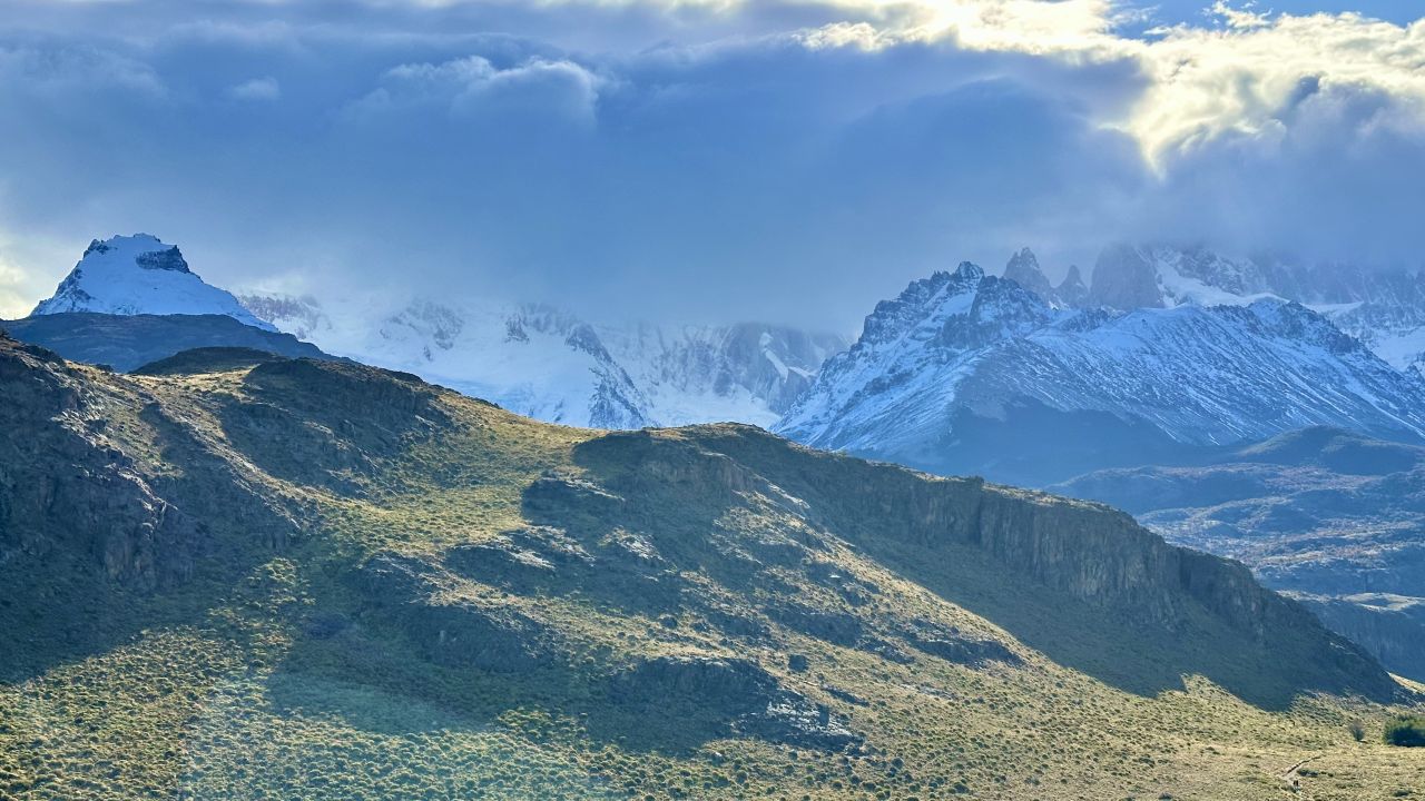
Hiking Mirador de los Cóndores y Águilas in El Chaltén
Los Glaciares National Park Visitor Center (Guardaparque Ceferino Fonzo), at the edge of town
Moderate
4.18 mi
Out-and-back
4.18 mi
6.7 km
Distance
692 ft
211 m
Gain
1,860 ft
567 m
Summit
2 hours
Est. time
Overview
If you only have a few hours in El Chaltén, or you just arrived on the bus from El Calafate and want a first taste of the mountains, this is the hike to start with. The trail begins at the national park visitor center, gains height steadily, and puts you on an open balcony above the town with the Río de las Vueltas valley below and the Fitz Roy and Cerro Torre ranges across the way. A short side trail continues to a second viewpoint, Mirador de las Águilas, which trades the town view for a long look at Lago Viedma and the Patagonian steppe.
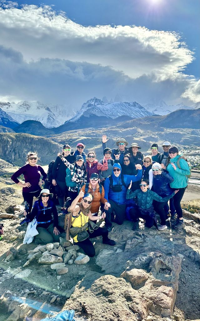
I hiked it on the afternoon of March 18, 2024 with our group from Social Hiker.
Getting to the Trailhead
El Chaltén is the base for almost every hike in the northern part of Los Glaciares National Park, and this trailhead is the easiest of the lot to reach. It sits at the entrance to town, next to the national park visitor center. If you are walking from the center of town, cross the bridge over the Río Fitz Roy and follow the road to the visitor center. Budget extra time if you start from the far side of town.
There is no parking fee and no permit. It is worth stopping inside the visitor center to check the trail and weather conditions before you head up if you’re not hiking with a guide.
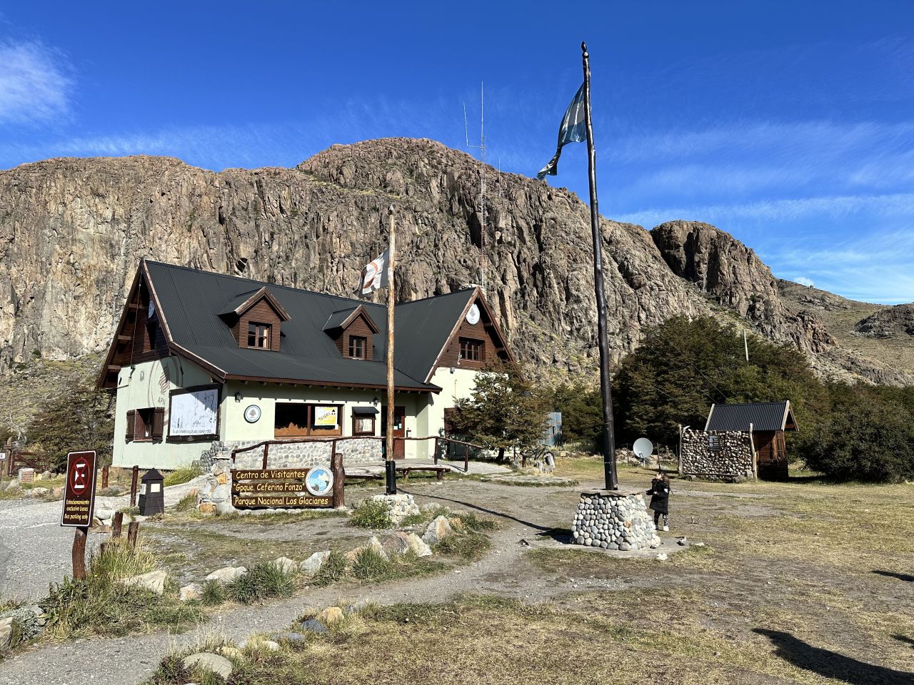
Hiking to Mirador de los Cóndores
The trail leaves the visitor center and climbs from the start. Take the left-hand path at the first split, since the right-hand one leads to a different viewpoint. Interpretive signs in Spanish and English line the way and introduce the birds of the region, which gives you an excuse to stop on the steeper stretches.
The surface is loose gravel in places, so shoes with decent grip and trekking poles are useful, especially on the way down. The trail was only opened in 2004, and it is well-signed and easy to follow.
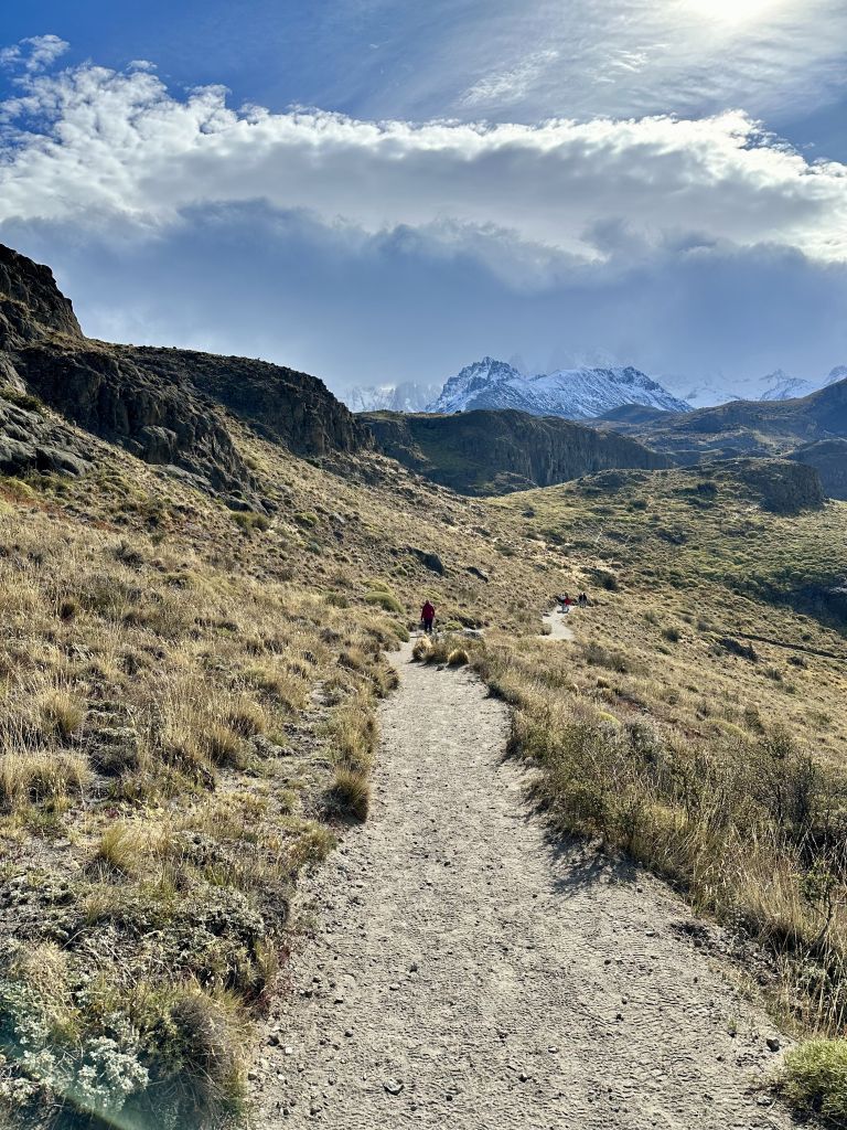
About ten minutes before the mirador, a wooden sign marks the fork for Mirador de las Águilas. Stay on the main trail for now. Cóndores is the first and, for most people, the main event.
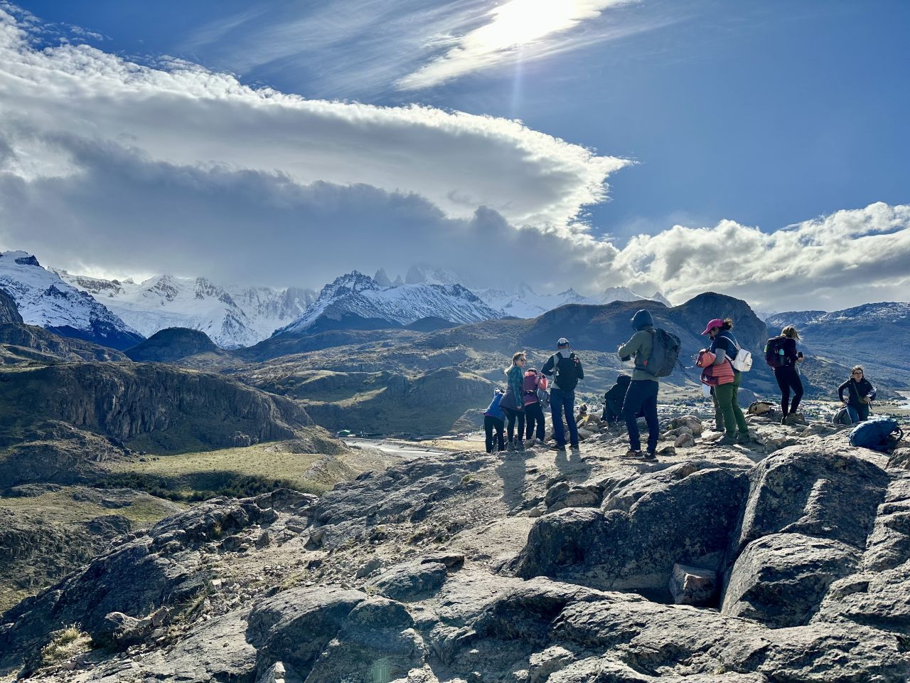
The view. The mirador is a rocky balcony. Below you is the grid of El Chaltén, the braided Río de las Vueltas, and a wall of peaks behind it, with Fitz Roy and Cerro Torre on the skyline on a clear day. The spot is named for the condors that move between the Río de las Vueltas and Río Fitz Roy valleys. We counted about a dozen condors slowly circling above.
Expect it to be exposed and windy. Bring a layer even if the hike up is warm. Thank me later.
Continuing to Mirador de las Águilas
Walk back down to the signed fork and take the Águilas trail. The sign gives about 30 minutes from the junction, and the slope here is gentler than the climb to Cóndores. The crowds thin out quickly.
The payoff is a different landscape. From the Águilas viewpoint you look east and south over Lago Viedma and the open Patagonian steppe, with the Huemul and Pirámide hills in the distance. You have the mountains again, but without the town in the foreground.
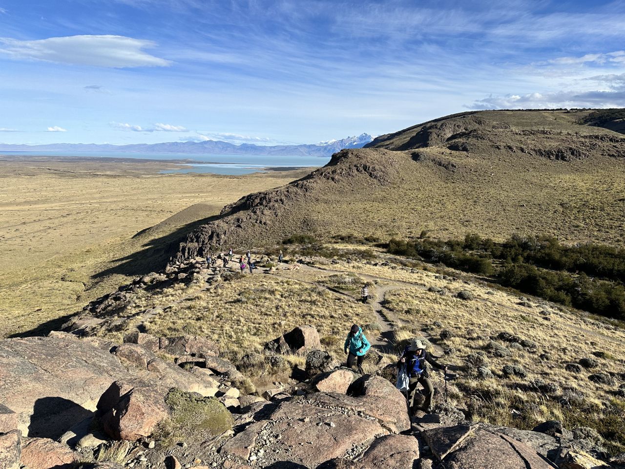
Then retrace your steps to the junction and descend the way you came.
My Numbers
Our moving time was 1:41 for 4.18 miles, but the elapsed time was 2:19. The gap is about 38 minutes of standing around at the viewpoints, which is the right way to do this hike. The route has 692 feet of climbing in total, with the first two miles mostly uphill and the last two mostly downhill.
| Split | Pace | Elevation change |
|---|---|---|
| Mile 1 | 25:51 /mi | +312 ft |
| Mile 2 | 24:45 /mi | +224 ft |
| Mile 3 | 22:18 /mi | -271 ft |
| Mile 4 | 24:35 /mi | -254 ft |
Mirador de los Cóndores y Águilas Trail Map & Elevation Profile
Mirador de los Cóndores Weather
El Chaltén forecast
For the trailhead area
Wed
Oct 21
Light drizzle
46° / 35°F
Thu
Oct 22
Fog
55° / 29°F
Fri
Oct 23
Fog
59° / 35°F
Sat
Oct 24
Clear
65° / 40°F
Sun
Oct 25
Overcast
61° / 46°F
Weather data by Open-Meteo.com (CC BY 4.0)
Tips
- Timing. Cóndores on its own is usually quoted at 45 to 90 minutes. Adding Águilas makes it a 2 to 3 hour outing. It is a popular sunrise and sunset spot, so check your sunset time and carry a headlamp if you plan to descend late.
- Wind. Patagonian wind is real. A windproof layer and a hat that stays on are worth more than extra water here.
- Footwear. Loose gravel on the steeper sections. Poles help.
- Dogs. Not permitted on this trail.
- Fees. None.
- Best season. Spring and summer (roughly October through February) are the standard recommendation. We were there in March, early autumn in the southern hemisphere. We were not alone on the trail, but it wasn’t crowded.
- Good for. A first-day warm-up, an acclimatization walk before the bigger hikes such as Laguna de los Tres, or a low-effort rest-day option.
Combine It With
- Laguna de los Tres and the other Fitz Roy hikes.
- Chorrillo del Salto, the easy waterfall walk, makes a good second short outing.
- The full trip.
Resources
- Los Glaciares National Park visitor center in El Chaltén (conditions and maps)

Jeff has hiked and explored trails for over 50 years, covering everything from casual canyon walks to rugged multi-day Sierra routes. He started SoCalHiker.net in 2010 to document the trails he loves — and to make it easier for others to discover them.
Originally hiked March 18, 2024.
You must be logged in to post a comment.