
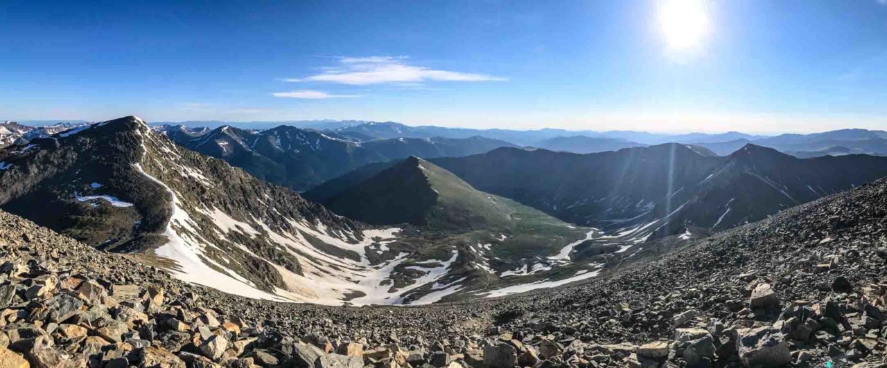
Hiking Grays Peak in the Arapaho National Forest
Stevens Gulch
Very Strenuous
8.6 mi
Out-and-back
8.6 mi
13.8 km
Distance
2,939 ft
896 m
Gain
14,270 ft
4,349 m
Summit
5-7 hours
Est. time
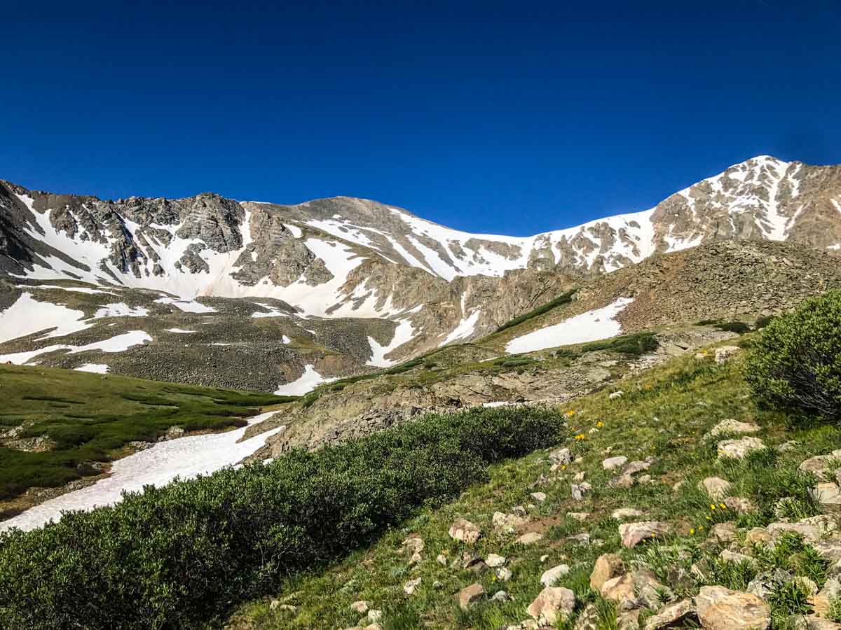
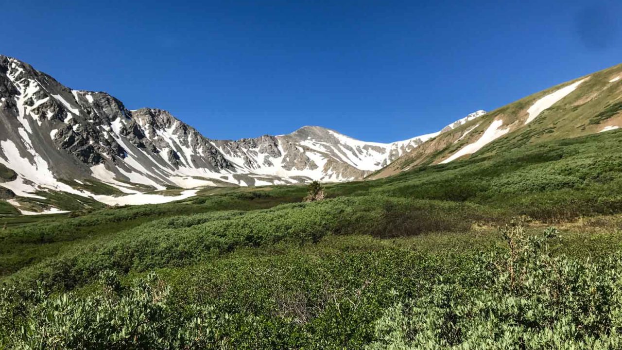
At 14,270′, Grays Peak is one of only two fourteeners that actually sits on the Continental Divide. The ninth-highest mountain in Colorado has a well-defined trail to the summit and its proximity to the slightly lower Torreys Peak (14,267′) make this a popular mountain destination, especially on summer weekends, so start your hike early. We started at 3am. The trail climbs up a large, glacier-carved cirque with Grays and Torreys presiding at the head. It’s also a great place to hobnob with the mountain goats.
Getting to the Trailhead
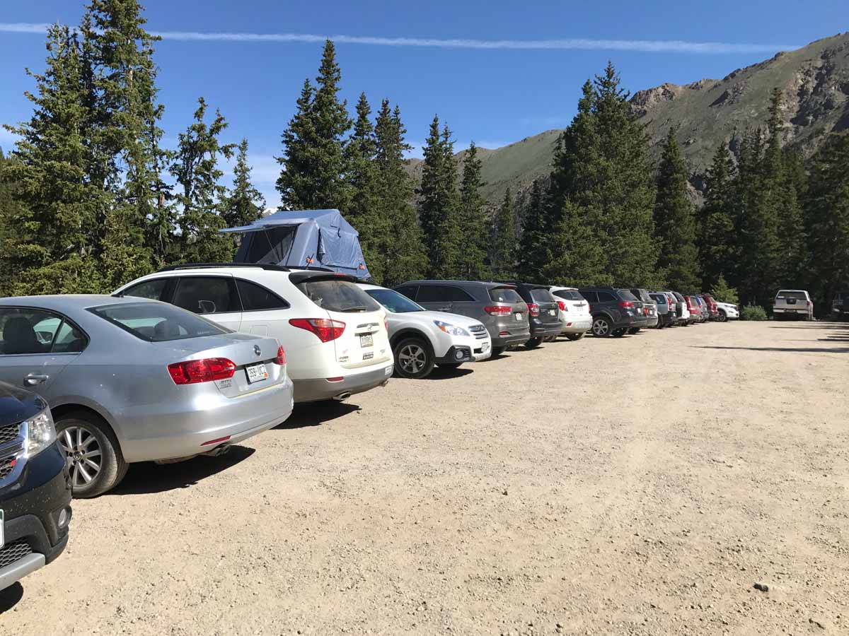
The trailhead to Grays Peak and Torreys Peak is about an hour from Denver, and just over 10 miles from Georgetown off Interstate 70. Take exit 221 from I-70 west and follow Stevens Gulch Road. The road is a rough, gravel road that travels three miles to the trailhead. While there were plenty of sedans at the trailhead, I recommend a high clearance vehicle and, in wet conditions, 4WD.
Another option is to park at the beginning of Stevens Gulch Road and hike or bike in to the trailhead, though this adds a total of six miles to the trip. Get turn-by-turn directions to the Stevens Gulch Trailhead via Google Maps.
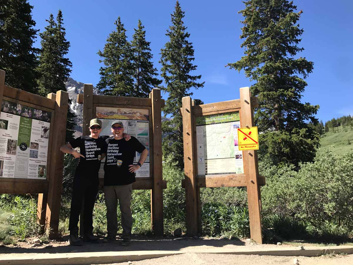
Hiking to the Summit of Grays Peak
Early starts are always advisable, especially on popular 14ers like Grays Peak. You’ll get parking and you will summit before noon to avoid afternoon thunderstorms. We hit the trail at 3am, hiking by headlamp.

It was a clear sky, and the Milky Way was visible to the naked eye (but sadly, not my iPhone). The trail up the valley is clearly marked and easy to follow, even by headlamp. You will likely see other flickering headlamps bobbing up and down the trail in the distance.
The first three miles of the trail head straight up the valley with only a few switchbacks. When you reach the end of the cirque, the grade gets steeper but well-engineered switchbacks keep the climb steady and manageable. We hit patches of snow and ice in early July, easily manageable without traction devices.
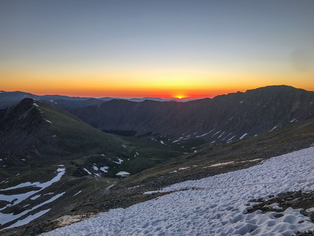
The real payoff for the Alpine start? The sunrise views.

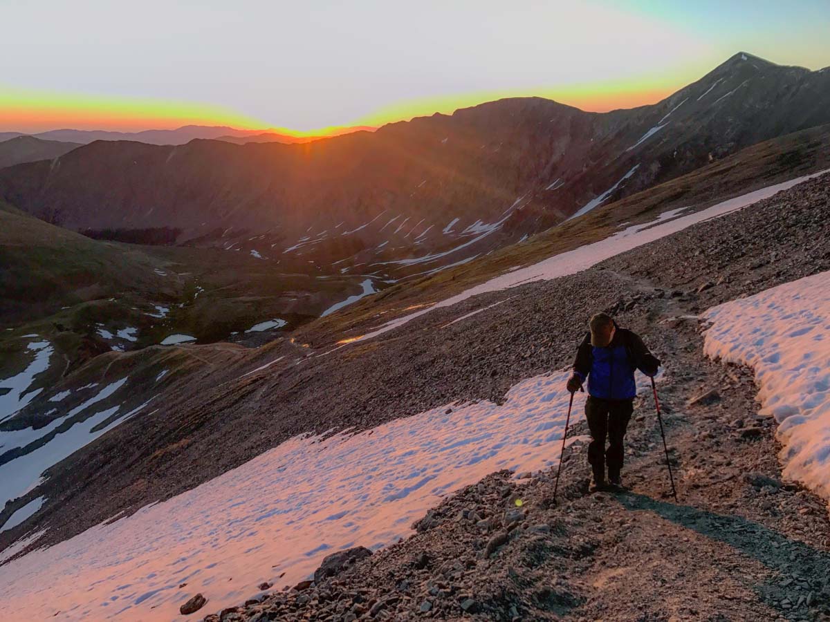
At 3.5 miles you reach the junction with the trail from the saddle. This is used for the return from Torrys Peak. Bear left at this junction, and continue following the switchbacks and occasional cairns to the summit.

The summit of Grays Peak is surrounded by a small stone wind shelter. The views? Epic.


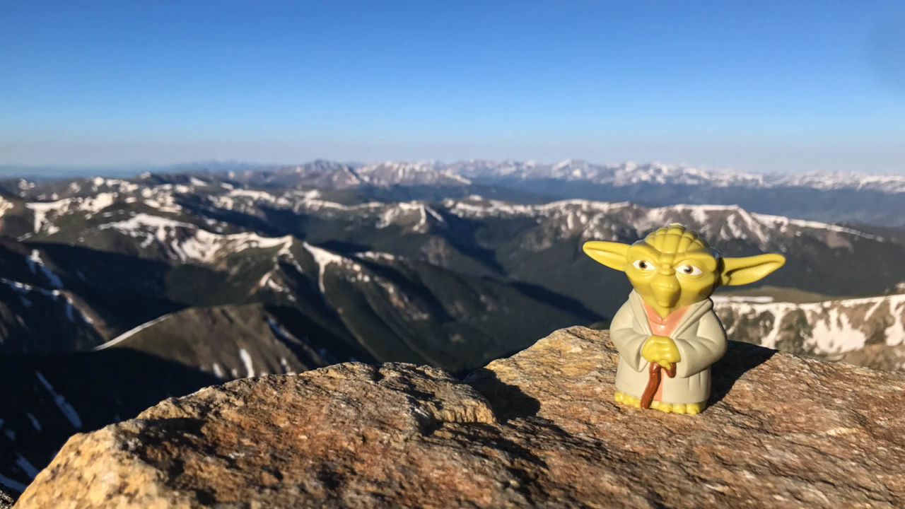

The return route is simple. Just retrace your steps. Keep an eye out for mountain goats on the way. Can you find the mountain goat we saw on our return in the photo below?


Add Torreys Peak
Many people combine a trip up Grays Peak with Torreys Peak (14,267′). From Grays, a faint trail follows the ridgeline down to the saddle and up the ridge to Torreys. Coming down, return to the saddle and take the connector back to the main trail and the trailhead.
Adding Torreys Peak adds 0.9 miles to the total distance and another 894′ of vertical gain, for about 9.5 miles and 3,833′ in all.
Grays Peak Trail Map & Elevation Profile
Grays Peak Weather
Plan to be off the summit by noon. Afternoon storms build fast above the tree line, so check the forecast before you go.
Grays Peak forecast
Temperatures adjusted to 14,270 ft
Sat
Nov 14
Overcast
22° / 11°F
Sun
Nov 15
Fog
23° / 6°F
Mon
Nov 16
Overcast
35° / 16°F
Tue
Nov 17
Overcast
30° / 13°F
Wed
Nov 18
Snow showers
21° / 10°F
Weather data by Open-Meteo.com (CC BY 4.0)
Grays Peak Tips & Resources
- Check out Michael Restivo’s blog post for this hike. He joined me to help scout the trail.
- Grays Peak is a Colorado Mountain Club Classic. For more details, check out Colorado Summit Hikes for Everyone (affiliate link).
- At the time of writing, no permits were required.
- Bring plenty of water, sun protection, and the other ten essentials. This hike is entirely above the tree-line.
- Keep an eye on the weather forecast, and plan to summit by noon. Afternoon lightning storms are a very real risk.
- DID YOU KNOW? Grays Peak and Torreys Peak are the only fourteeners that lie directly on the Continental Divide.
The Colorado Rockies Six-Pack of Peaks Challenge

Grays Peak is part of the Colorado Rockies Six-Pack of Peaks Challenge, a self-paced hiking challenge that takes you up six, iconic peaks–each one a bit higher and tougher. It’s a challenge in itself, or great training for still bigger adventures.
Originally hiked on July 2, 2017. Thanks to Michael Restivo for joining me.
Jeff has hiked and explored trails for over 50 years, covering everything from casual canyon walks to rugged multi-day Sierra routes. He started SoCalHiker.net in 2010 to document the trails he loves — and to make it easier for others to discover them.
You must be logged in to post a comment.