We were in no hurry to get up and do this last 5 miles or so down to the portal – but when you’ve got Whitney hikers coming up all night long with headlamps blasting, you tend to not get the week’s best sleep. We finally got going at 8am and headed down.

Time:Â 2 hours
Difficulty:Â Strenuous
Elevation gain: 0 ft
Dogs: No
When to go: July-Sept.
By 10:30 or so we were down – and the trip was over.
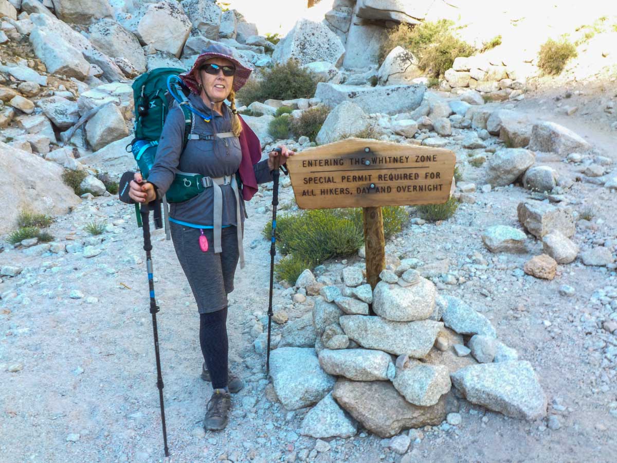
There was only one thing left to do – and that was to sample the food at the Whitney Portal Store. If that wasn’t the best Bacon and Eggs I’ve ever had, I don’t know when I’d had better!
High Sierra Trail: Outpost Camp to Whitney Portal
Trail Map & Elevation Profile
High Sierra Trail – A Recap
A week on the High Sierra Trail really felt like we were stepping back in time – experiencing the park the way Ranger Stewart and all of those from the 1920s and 1930s wanted us to see it. That is why they decided on no roads way back them – the park was to be seen on foot, from West to East, using a trail purposely built for just that. They had put 5 long years into creating that trail, and all I wanted to do was go back in time and thank each and everyone one of those hard working men who built that trail so we could enjoy the park still today.
From our ascent of the Great Western Divide and into the Big Arroyo, to our journey up the mighty Kern River, to our summit of the Eastern Sierra and the highest point in the lower 48, the High Sierra Trail packs an incredible Sierra journey into one epic week. The John Muir Trail? Epic, no doubt. The baby brother High Sierra Trail – shorter but still epic in its own way.
Hike the High Sierra Trail. You won’t regret it.
Next up?
- Go back to Day 7 on the High Sierra Trail.Â
- New to the High Sierra Trail? Get the big picture with our HST overview.
- Got questions about the High Sierra Trail? Join our HST discussion forum.
Met you both on Baldy on April 30th. I enjoyed reading every detail of your amazing journey. Hope to be able to complete this one day!
Thanks Nancy! Glad you enjoyed the results of all that training! Keep hiking!
Simply awesome, thank you. Funny story, just yesterday I decided to do this hike solo this coming summer (March 1st hurry up!) and have been reading and watching YouTube videos, when low and behold, your email popped up detailing this hike!! I might shorten the hike hike by one day, but I like the reasoning behind the short days right before Whitney. The following summer I will be 60 and plan on doing the JMT, so this will be a perfect warm up. Thanks again for this fantastic write up!
Thanks for the kind words Marty! Hope you enjoy the HST as much as we did! Yep – fax that application in at Midnight on March 1 and I’m sure you’ll get the dates you want! GG and BH
Enjoyed re-living this past summer’s HST hike with my son and our boy scout troop. We took a leisurely 10 days and slept on top of Whitney. Like I sensed from you, the hike down from Whitney is not fun, and while I am planning to to the JMTnext summer, we are skipping that part. Going out via new army pass and horseshoe meadow instead. I will say you missed camping at some fabulous spots, especially Hamilton Lake and Morraine Lake. But life is full of trade offs and I am sure you planned your hike as you did for good reasons.
thanks for sharing, Matt
I truly enjoyed your article. My son and I are gonna either do the JMT or HST in 2017. It all depends on how much leave he’ll given… He’s in the Air Force. Either way, I’m so looking forward to hiking with my son. Thanks again for the great article.
Glad you liked the article Craig – I hope you and your son have a great trip on the HST or JMT in 2017. It will be glorious for sure! GG
Thank you for the great tour of the HST. Very nice of you to share.
Rob – glad you liked it. Hope you can get on the HST sometime soon yourself!
Enjoyed sharing your HST experience. Wish I was 20 years younger! Big backpacker in earlier years and did the Camino recently. Did you meet up on the trail with many folks in their 60’s?
Kathy – thanks! I’m 54 and my wife is 57. We saw quite a few people in their 60s and a few in their 70s too. Can’t wait for retirement – we’ll be up there all the time!
Greg,
Your TR and Pics are great. I soloed in Sept. I’m 67 and this was my first multi
day trip. To Kathy I would say, train well, take 2/3 the food you think you can
eat, and try and keep the mileage around 10 miles/day. I did the trip in 5 days
and wished I had taken it a bit slower. This was during the Portal Road construction
and was concerned about getting down to Lone Pine to get a ride back to SoCal.
BTW Baldy is a a great training area. I think the Bear Flats trail is harder than
the tourist route up Whitney.
Rick – Awesome! I sure hope my wife and I are backpacking when we’re 67 – we’re just young 57s. Yes, we were lucky to have the extra time to just enjoy the area and not rush. I agree 100% – Baldy, the “old trail” and Gorgonio via Vivian Creek are great training for the Sierra and Whitney. In fact, we ran into two people at Guitar Lake that were trying to ‘scare’ us about how hard it would be to get up Whitney and we’d better allow 5 or 6 hours. We told them we had done all our training on Mt. Baldy and they were like “never heard of it…good luck”. Well, we jammed up to Whitney in 3 hours 20 mins and blew past multiple groups and two groups of Boy Scouts. I’d say anyone who trains on our steep SoCal mountains with full packs is ready to go any time any where. But of course since I grew up on Mt. Baldy I’m biased. Thanks for the post Rick! Hike on!
Thanks Greg for this site. My son (28) and I (53) will be taking to the HST this summer. Your advise as to how to get there and leaving have been very helpful to plan accommodations and transportation. I plan to follow your schedule to the tee. We are living just outside of Toronto, so the altitude may take a little getting use to. We have hiked the Inca trail to Machu Picchu so we know to take it slow until climatized. Is the any hardcopy map that is a must? Thanks again for your work putting this together
Jim – thanks for the note! Have a fantastic time on the HST! Train hard with a full pack in the months leading up and it will get you strong and ready – and make the altitude less impactful. I carried the Tom Harrison High Sierra Trail map with me – very good map. The trail is super easy to follow. Enjoy!
Greg,
Thank you for laying this all out and sharing your hike. I have secured my pass for the first week of September and am very excited. Your advice and recommendations have been very helpful. I’ve already taken in Plan and Go High Sierra Trail, which just added more confidence to all the planning I have done. Is there a way to connect with you and your wife directly with specific questions I have about the trip? If not I understand, you guys have already provided so much great content.
Thanks again for adding value for all of us interested in getting outdoors!
Sincerely,
Curtis
Washington, DC
Thanks for putting this together. I am doing this route (permits reserved already) in late August and this is a great starting point for our mixed skill group. Some of us will be able to start our days early and still explore after reaching camp. Well except after day 3 when we plan to relax at the Hot Springs!!!
Have a great trip Michael! any questions don’t hesitate to ask!
I am planning to do the whole trail over summer with a group of friends and family. I am 17 and want to experience a whole week trail I have done 4 day backpacking trips before, is there anything in particular that I should know or bring and did you pack you food for the whole entire week?
Great, great posting on your trip… I really appreciated the well written account.
Now, at 64 years of age, I’m trying to regain my 20 year old stamina to tackle the HST later this season.
As one who suffers from Acrophobia since I turned 30, I’m wondering if you could tell me how bad it was for you on some of the exposed faces and of course going over the bridge?
Hi Lee thanks for the comment. Believe it or not I also suffer from a fear of heights. Completing the HST was part of my ongoing plan to fight acrophobia. There were really only two areas that gave me pause. The first was Hamilton gorge – but the trail is plenty wide so just keep your eyes on the trail and you’ll be fine. The other was the ridge trail from Trail Crest to Whitney Summit. The “windows” – the little slots that look down to the east – can be a bit scary, but again just walk past them and don’t stop and you’ll be fine. Have a fantastic adventure on the HST!
Many thanks Greg. I shall endeavor to keep that focus on the trail and might make a sprint of it across that bloody bridge!
We push off on 28 Sept. Had anticipated the high Sierra being best for a late season outing this year due to the abundant snowfall this past winter so the late September date should work. Some of the reports I’ve read seem to verify that so hopefully the bugs and the water levels will be reduced by then.
All the best, and thanks again.
Lee
Great job describing your trip. I love the maps with this showing elevation and mileage. It’s helping me relive some of my hikes from back in the ’80’s when I could still do it!