
Los Piños Peak sits at 4,455 feet above sea level in the Cleveland National Forest, just west of the Main Divide between Orange and Riverside Counties. There are other more strenuous routes to this summit, but this route is made easier because you start at over 3,000 feet. Instead of approaching from Orange County, you reach this trail from Ortega Highway.
![]()
Time: 2 hours
Difficulty: Moderate
Elevation gain: 1350 ft
Dogs: Yes
When to go: Year-round
Getting to the Trailhead
We parked at the junction of the Main Divide Truck Trail and Long Canyon Road — very near the Blue Jay and Falcon campgrounds. There is a gate here that is sometimes locked. It was open this weekend, but the road to the Los Pinos Trail requires a high-clearance vehicle and preferably four-wheel drive. We opted to hike this section, but you could drive this with the proper vehicle. We put our Adventure Pass on display, parked and headed up the Main Divide.

The first 1.7 miles is a gravel road aptly described as a truck trail — it’s very bumpy and when the gates are open, you will likely be passed by the occasional Jeep, dirt bike or mountain biker. But there are some great views to the east, including Lake Elsinore in the valley below.

At the 1.7 mile mark, you’ll reach a small gravel parking area and a sturdy metal rail. This marks the trailhead of the Los Piños Trail.

Don’t think you have to head straight up this steep, gravelly incline (though many do). Cross the rail and bear to the right and you’ll find the official trailhead, which takes a gentler but slightly longer route up. Both routes converge near the shoulder of the first hill, so feel free to take your pick.


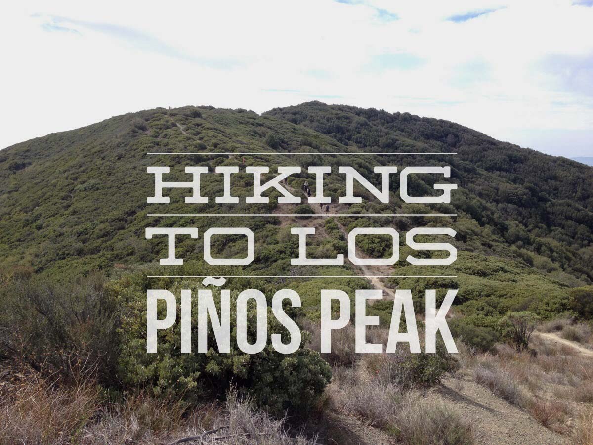
The trail follows the ridgeline closely, in a roller coaster style to the summit. The north side of the ridge is covered in the namesake pine or “piños” trees.

While the trail fairly well maintained, it is gravelly in spots. I recommend boots or trail shoes with good traction. Trekking poles would be a nice to have in some sections.

The Summit of Los Piños

The views from the summit were beautiful. There is a summit register to sign, and our trail mascot Yoda got to meet the #SexyBikiniPanda. He wasn’t overly impressed. soak in the views before you retrace your steps to the car.
Bluejay to Los Piños Summit Trail Map
Los Piños Photo Gallery
Click on any photo to view a larger version. You can also leave comments on any photo.


Special Thanks
I hiked this with a group of other outdoor bloggers from around Southern California — as part of a Tweetup. Thanks to my lovely wife Joan of theSCvibe.com; Campfire Kam and Alex; Josh of CaliforniaThroughMyLens; ringleader Pete of East-West Hike; Alyx at Shoestring Adventures; Eileen from Rockgrrl.com and Zac from OPAdventures for taking part in this weekend tweetup.
Los Piños Tips
- There can be snow up here. If the snow levels drop below 4,000 feet, be prepared.
- There is no water and very little shade along the trail. Bring two liters and wear a hat and sun protection.
- A National Forest Adventure Pass is required for parking at the trailhead.
More Los Piños Resources
- Nearby camping is available at the Blue Jay and Falcon campgrounds. Reservations required.
- Los Pinos Peak via the Main Divide Road – Brian and Ashley’s Hiking Blog
Los Piños Weather Forecast
[forecast width=”100%” location=”El Cariso, CA”]

You must be logged in to post a comment.