
Day Two on the Wonderland Trail was going to be a long one. Ideally, we would’ve stayed at Klaptache Park Camp, renown for views of both Mount Rainier to the east and sunsets to the west. Its popularity also meant it was fully booked when we got our permit, so we would have to hike about three miles further and descend another 2,100 feet to North Puyallup River.
It may have been long, but at least the weather was hot and humid.
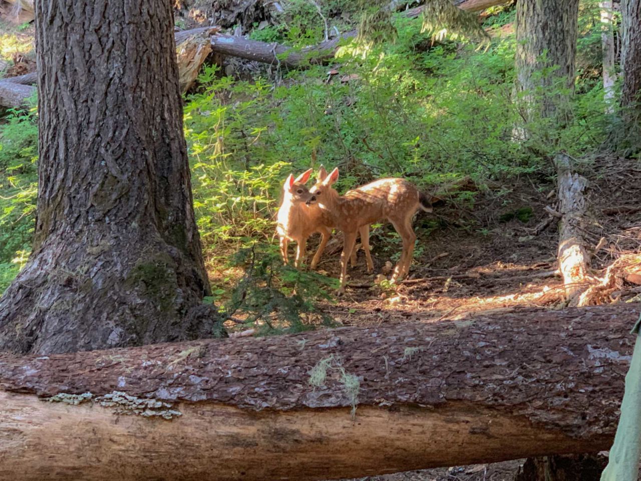
As we were getting ready to break camp in the morning, a doe and two fawns wandered right through our camp, setting a great vibe for a tough day.
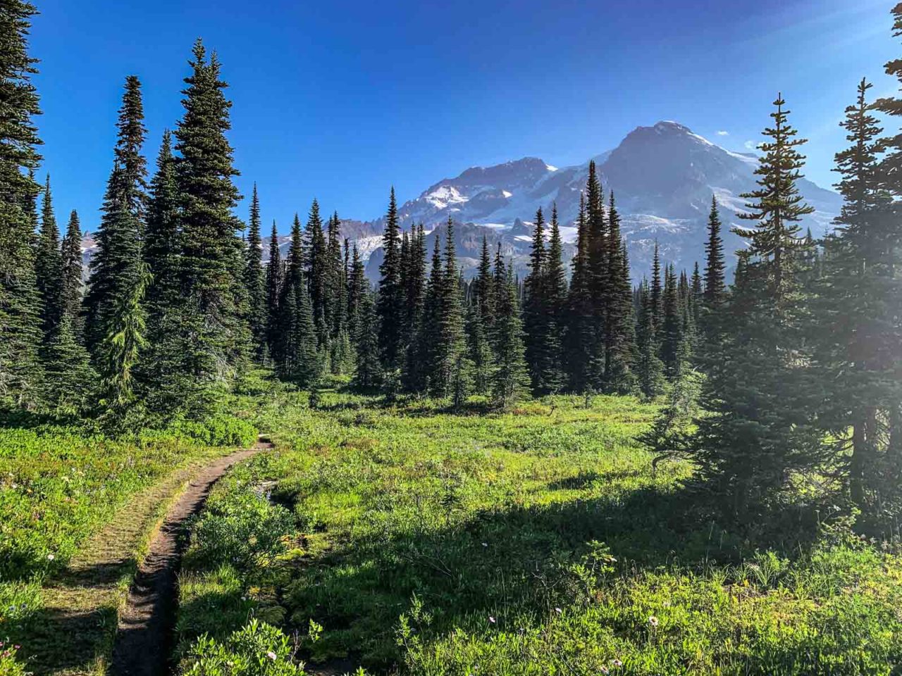
At about 1.5 miles you reach an area known as Indian Henry’s Hunting Ground, an area rich in history, fields of wildflowers and jaw-dropping views.

From here, we began a 1,200 foot descent to the Tahoma Creek Suspension Bridge, one of two suspension bridges on the Wonderland Trail, spanning 150 feet and towering 200 feet above the churning grey water of Tahoma Creek.
GALLERY
It’s one person at a time across this span, which can get a little bouncy. The adrenaline rush from crossing the bridge gave us a boost for our next objective: Emerald Ridge. The ascent lasts about three miles, climbing 1,500 feet to the ridgeline.
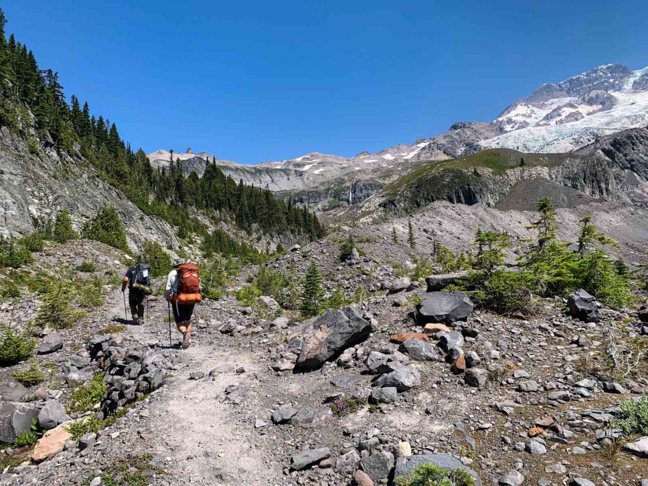
When we reached the ridge, we stopped for a break to take in the views of Mount Rainier.
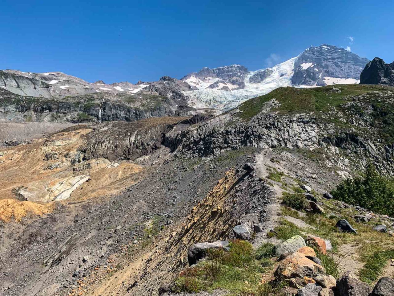

From the ridge, the trail drops steeply down to South Puyallup River. Trekking poles came in handy, as sections of the trail had loose gravel looking for an opportunity to send you sliding. There’s a camp near the river, and though we had logged a lot of miles, we still had yet another ridge to climb.
At this point, in the day, it was heating up. Sitting in the shade would feel comfortable, but hiking exposed to the sun sapped our energy.
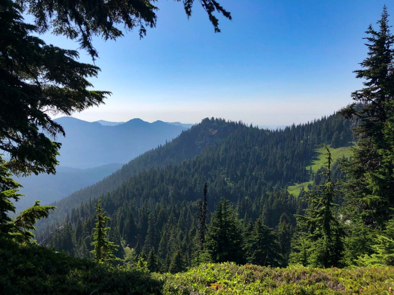
The trail to St Andrews Park climbed 1,800 feet, and by the time we reached St Andrews Lake, we were grateful for a break.
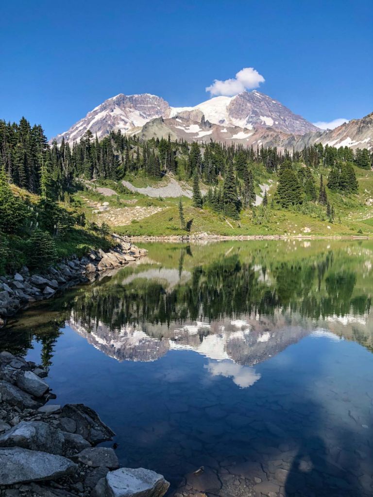
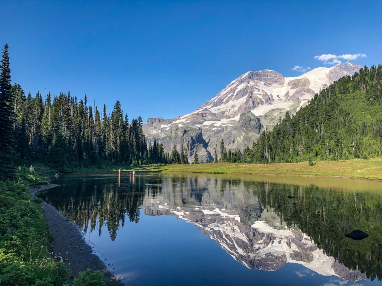
We were tired, and still had miles to cover. Thankfully, we were done with the climbing. We wandered down the trail to scenic Klapatche Park and wished we had our camp there.
From Klapatche Park we descended nearly 2,000 feet over two miles to North Puyallup River, our camp for the night. The trail down to to North Puyallup was a grind. The group site is on the south side of the river, where the remains of a road are being reclaimed by the forest. On the north side are four campsites. They are not particularly beautiful, but we didn’t care. We setup camp, ate and crashed for the night.
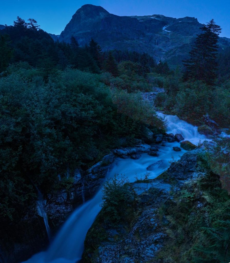
That is, except for Jason. He got up in the wee hours of the morning and setup his tripod at the bridge over North Puyallup River to capture this nighttime photo of the waterfall.
Thankfully, our next day was going to be easier as we headed to Golden Lakes.
Devil’s Dream to North Puyallup River Map and Elevation Profile

Jeff has hiked and explored trails for over 50 years, covering everything from casual canyon walks to rugged multi-day Sierra routes. He started SoCalHiker.net in 2010 to document the trails he loves — and to make it easier for others to discover them.
Originally hiked on August 6, 2019 with Derek and Jason.
You must be logged in to post a comment.