
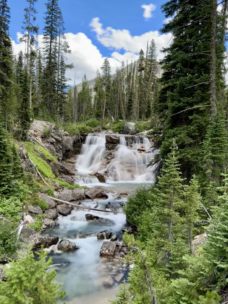
Day 5 of the Grand Sawtooth Loop is the last pass and the best finish. One short, steep climb from Ardeth Lake gets you over Tenlake Divide, the final pass of the trip. From there it’s downhill past a string of lakes, a long lunch and swim at Rockslide Lake, and a gentle walk along Benedict Creek to camp beside Smith Falls. It was the shortest day by moving time, and it still ended with one of the best camps on the loop.
The Route
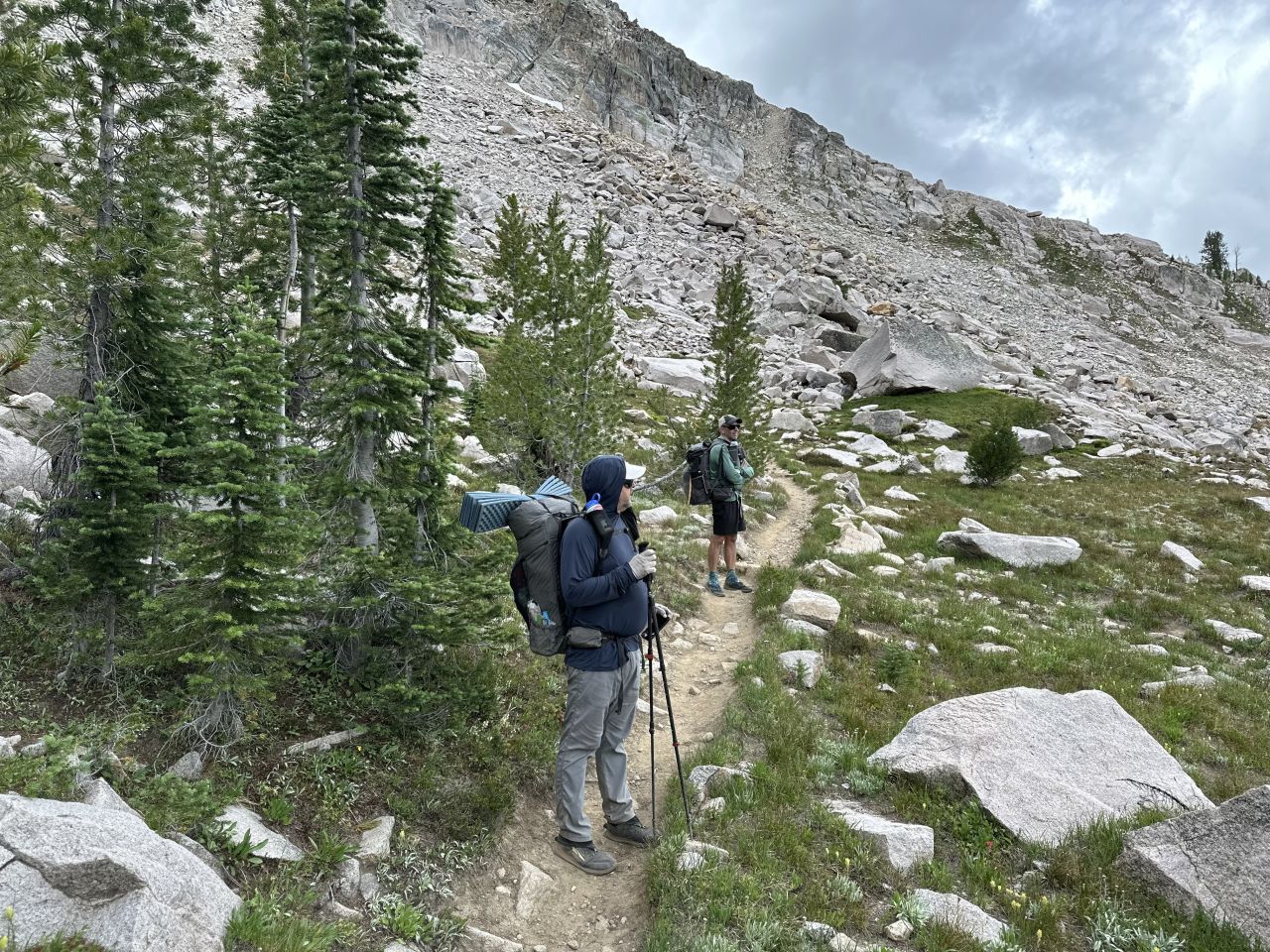
The day starts right at Ardeth Lake with a climb of about 800 feet in the first mile to mile and a half. The trail follows a creek bed out of the trees, crosses a talus field, and works its way up through six or seven long, gradual switchbacks. We were mostly in shade under a layer of low cloud.
The top of Tenlake Divide (about 8,900 feet) is spectacular. You can look down into the lower half of the Ten Lakes Basin. Adam, who had wandered the basin the day before, said seeing it from above was like building a 3D map in your head. We spent a while at the top, chatting with a group of hikers from Minnesota.
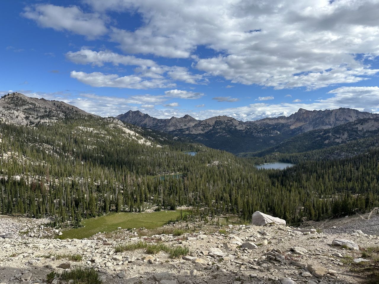
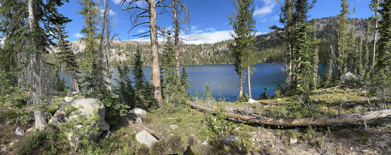
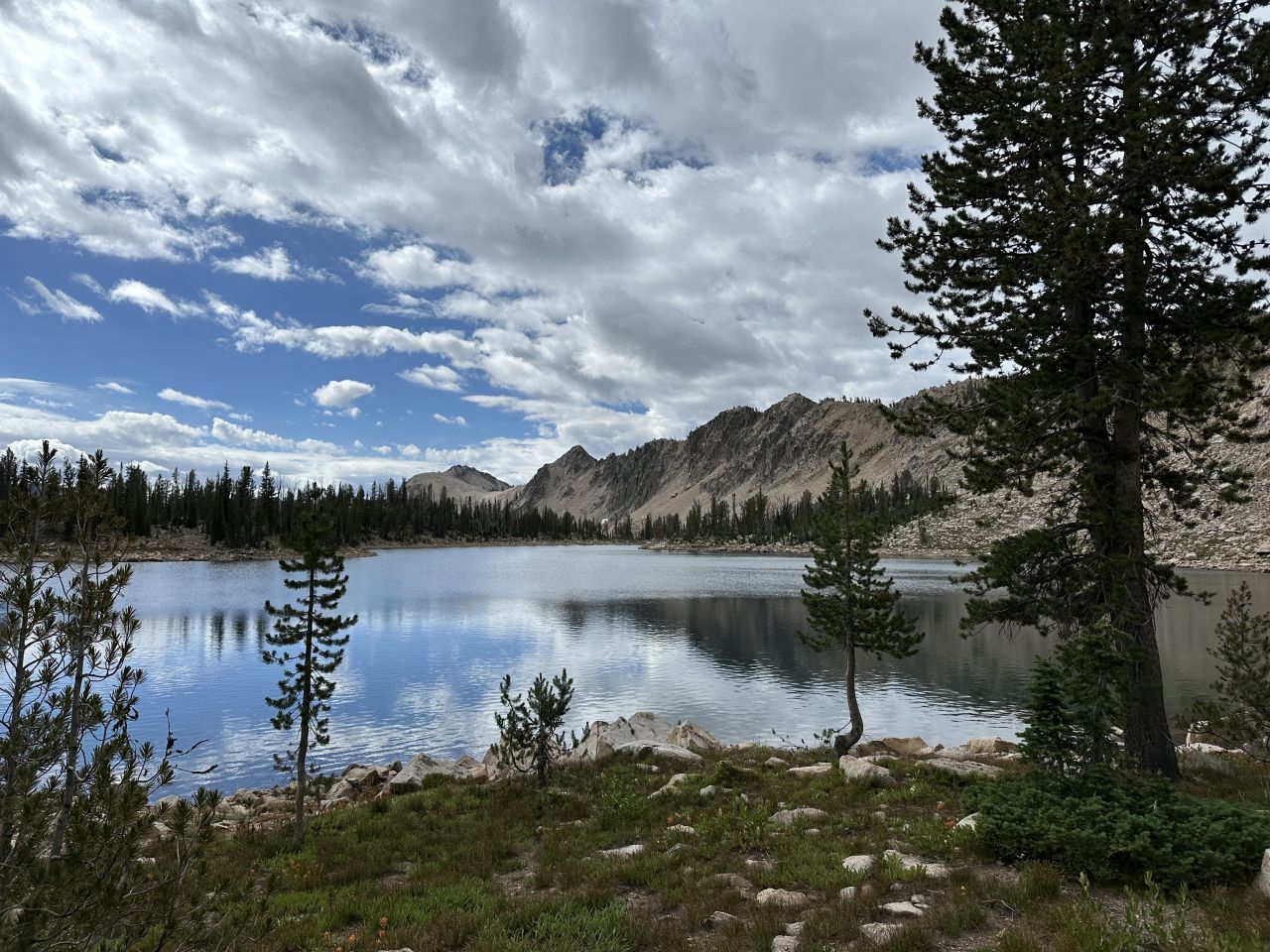
From the divide, the trail drops gently toward a cluster of lakes. You pass Spangle Lake and Lake Ingeborg, then continue down to Rockslide Lake, where we stopped for lunch and a swim. We saw fish in the lakes, and the trail passes ancient tree roots along the way.
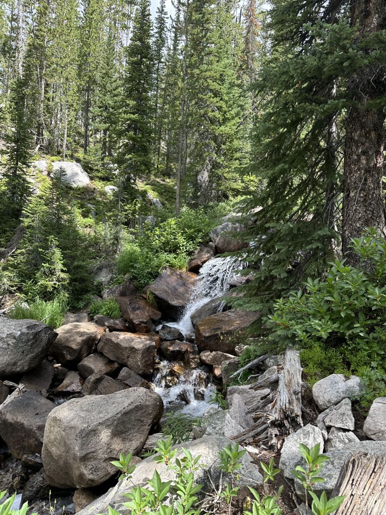
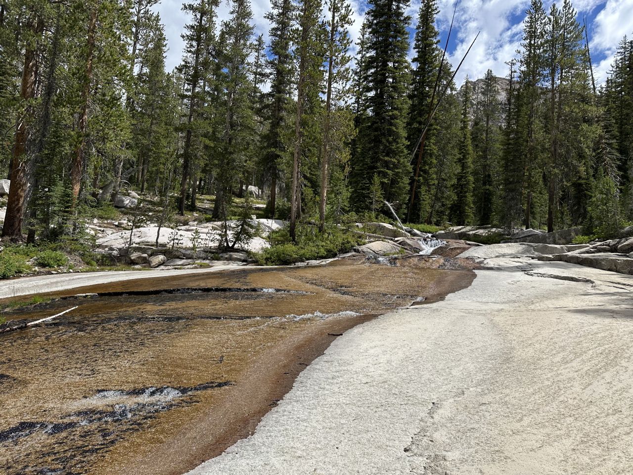
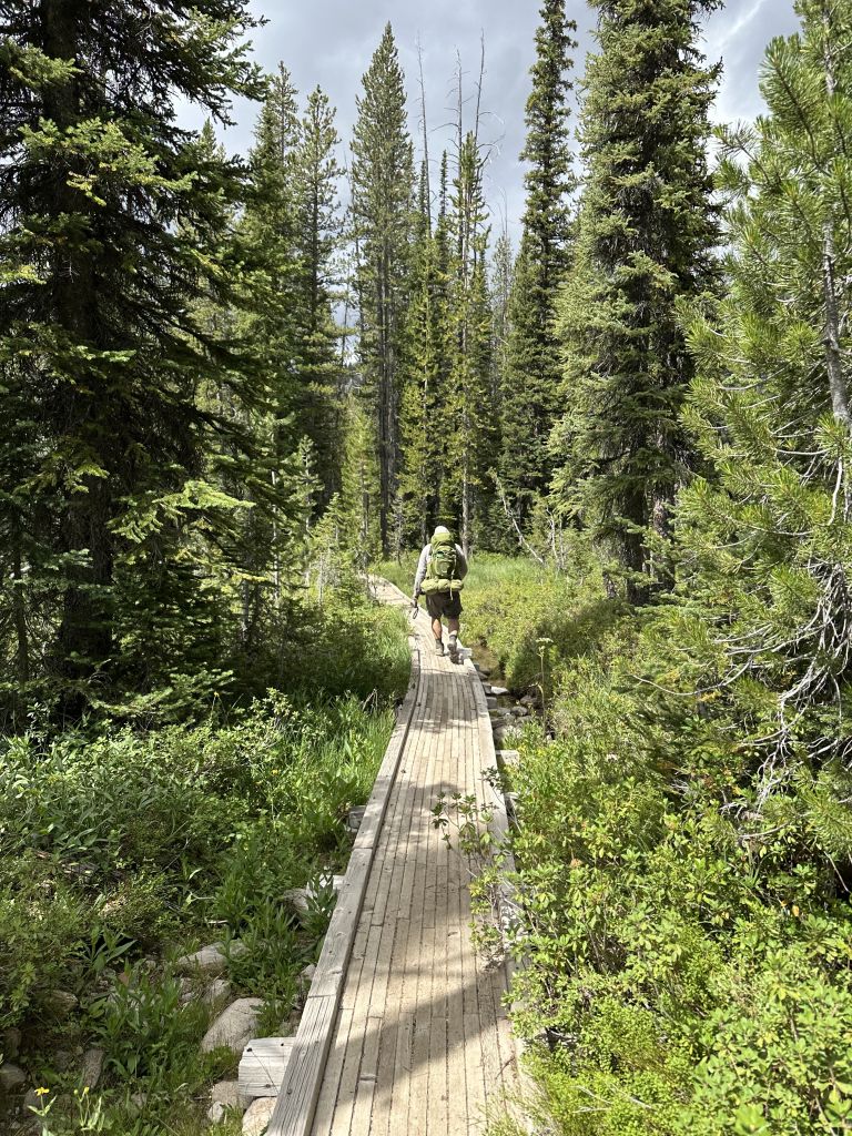
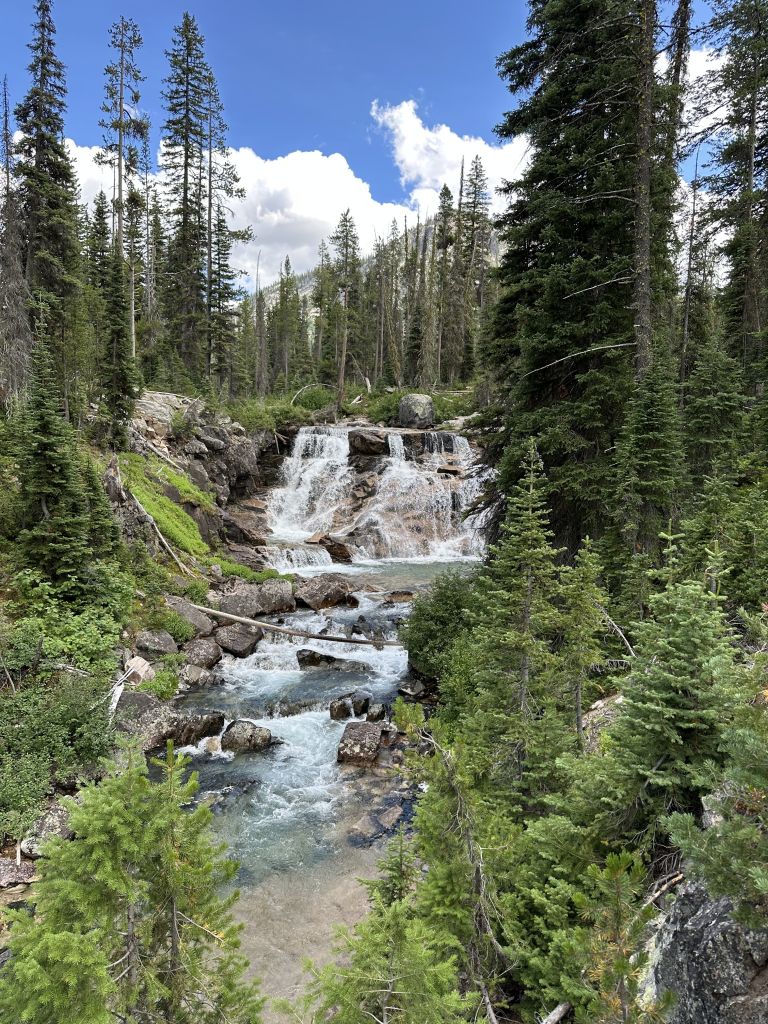
Below the lakes, the trail joins the Queen Creek Trail and follows Benedict Creek through green, gently rolling meadows. It’s about three miles from there to Smith Falls. The camp sits just above the falls, at the confluence of Benedict Creek and the South Fork of the Payette River.
Highlights
- The view from Tenlake Divide. The last pass of the trip, with the Ten Lakes Basin spread out below.
- A chain of lakes. Spangle, Ingeborg and Rockslide Lakes, all within a few miles of each other.
- Lunch and a swim at Rockslide Lake. A good midday stop on an easy day.
- Meadows along Benedict Creek. Easy, rolling walking with green meadows on both sides.
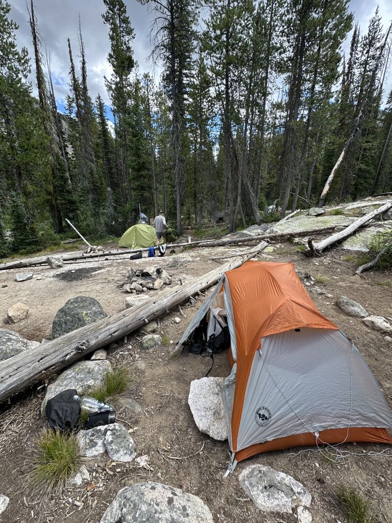
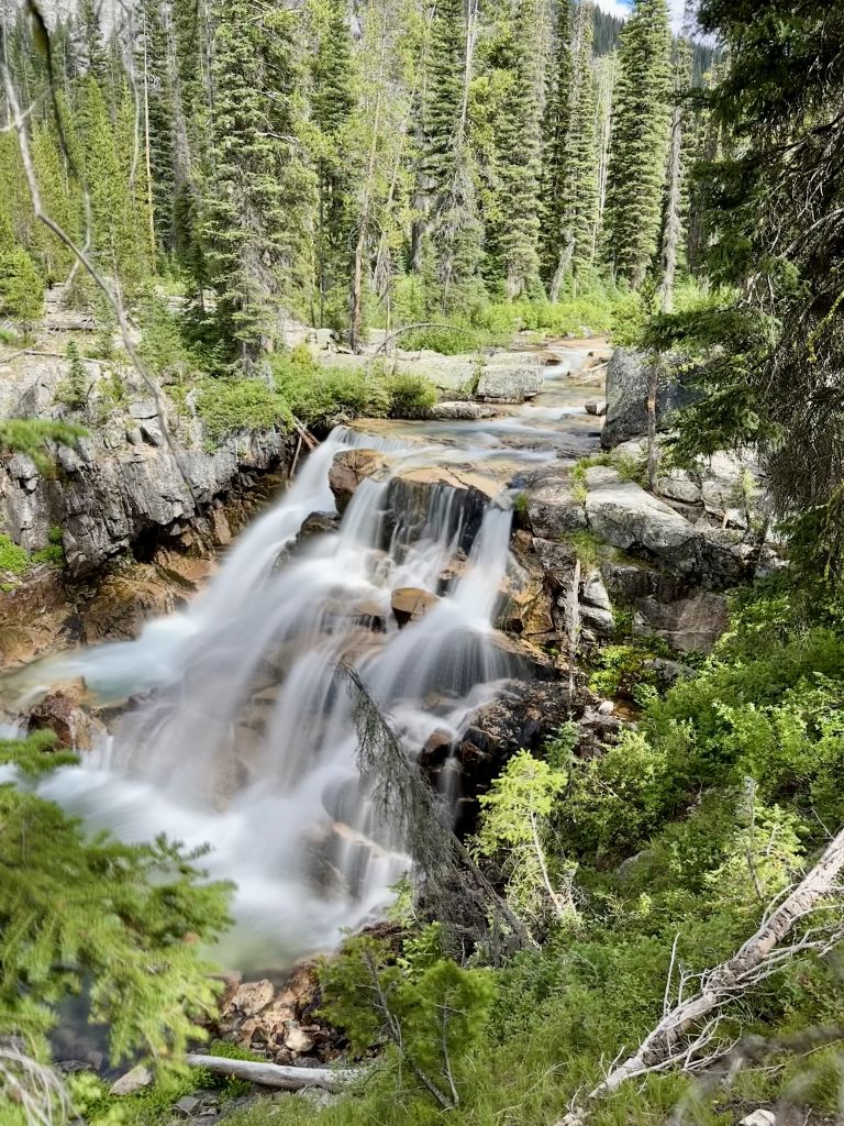
- Smith Falls. Our camp was about 50 feet from the top of the falls, with the roar of the water all evening.
- The confluence. Derek and Adam each took an icy plunge in the deep pool where the two creeks meet.
- Golden hour on the falls. Jason spent over an hour on the hillside waiting for the perfect shot, with Derek and Sophia keeping him company.
How the Day Unfolded
We left camp at 8:38 AM after breakfast beside the lake, and the climb to the divide went quickly. Derek and Sophia were with me for much of it, and I enjoyed getting to talk with them on the way up. At the top, we regrouped and visited with the hikers from Minnesota before heading down.
From the divide, the group spread out as we worked our way down through the lakes. We gathered at Rockslide Lake for lunch and a swim. Adam slipped off on another solo side quest to some off-trail lakes along the way.
After lunch we hiked the last three miles to Smith Falls on the Queen Creek Trail. Ben spotted a good camp right away, and we each picked a spot. Adam walked over to the confluence, where Derek and Sophia were already enjoying the scene. Derek took a plunge in the deep pool at the base of the two creeks, and Adam followed. It was our last dinner of the trip, so we ate together above the falls.
By Strava, we reached camp at around 3:15 PM, with a lot of the afternoon still ahead.
Where to Stay
Smith Falls. A camp right above the falls, where Benedict Creek meets the South Fork of the Payette River. There were good spots for all of our tents, a smooth granite slab by the confluence, and the sound of rushing water all night.
Practical Notes
- An easy day. At 11 miles and 4 hours 20 minutes of moving time, this is the one day you can relax. The only real effort is the first mile and a half.
- Tenlake Divide: The switchbacks are long and gradual, and the climb is about 800 feet.
- Side trips: You can explore the Ten Lakes Basin from the divide, or head off-trail near Rockslide Lake like Adam did. Allow extra time.
- Water: Plentiful. There are lakes and creeks all the way to camp.
- Cold night: The last night was the coldest of the trip, 29°F by Adam’s reading. Have a warm layer ready for Smith Falls.
- Cell service: None.
The Day in Numbers
| Distance | 11.1 mi (17.9 km) |
| Elevation gain | 1,083 ft (330 m) |
| Elevation loss | 2,264 ft (690 m) |
| Moving time | 4h 20m |
| Elapsed time | 6h 37m |
| Avg. moving speed | 2.6 mph |
| Highest point | 8,924 ft (2,720 m), Tenlake Divide |
| Lowest point | 7,054 ft (2,150 m) Smith Falls |
| Start | Ardeth Lake, 8:38 AM |
| Camp | Smith Falls |
| Weather | Low cloud in the morning |
| Swims | Rockslide Lake |
Originally hiked August 7, 2025 with Jason Fitzpatrick, Derek Loranger and his daughter Sophia, Ben Novinger, and Adam Salinger.

Jeff has hiked and explored trails for over 50 years, covering everything from casual canyon walks to rugged multi-day Sierra routes. He started SoCalHiker.net in 2010 to document the trails he loves — and to make it easier for others to discover them.
You must be logged in to post a comment.