
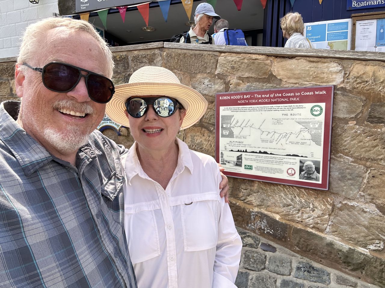
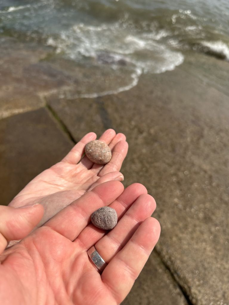
This is the last day of the Coast to Coast Walk. After 192 miles, we walked into Robin Hood’s Bay, and we were very glad to arrive and toss our pebbles in the North Sea. We took a modified route from Grosmont, shorter than the standard stage, cutting off more than three miles of the longer route out along the headland and going straight to Robin Hood’s Bay, with a climb onto the moor, a woodland section past a waterfall, and a final stretch along the high ground above the coast. There was also a folk music festival that was just wrapping up at the end of the trail, so we caught the tail end of some live music as we finished.
Getting to Grosmont, and a Zero Day in Whitby
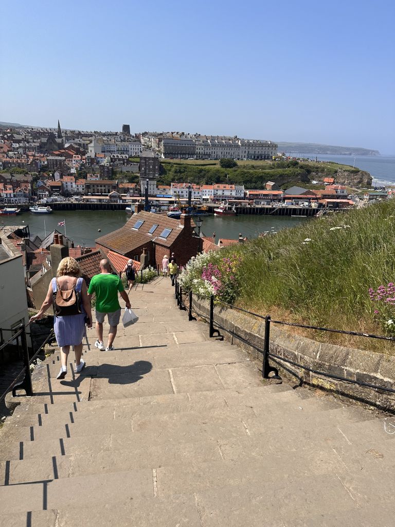
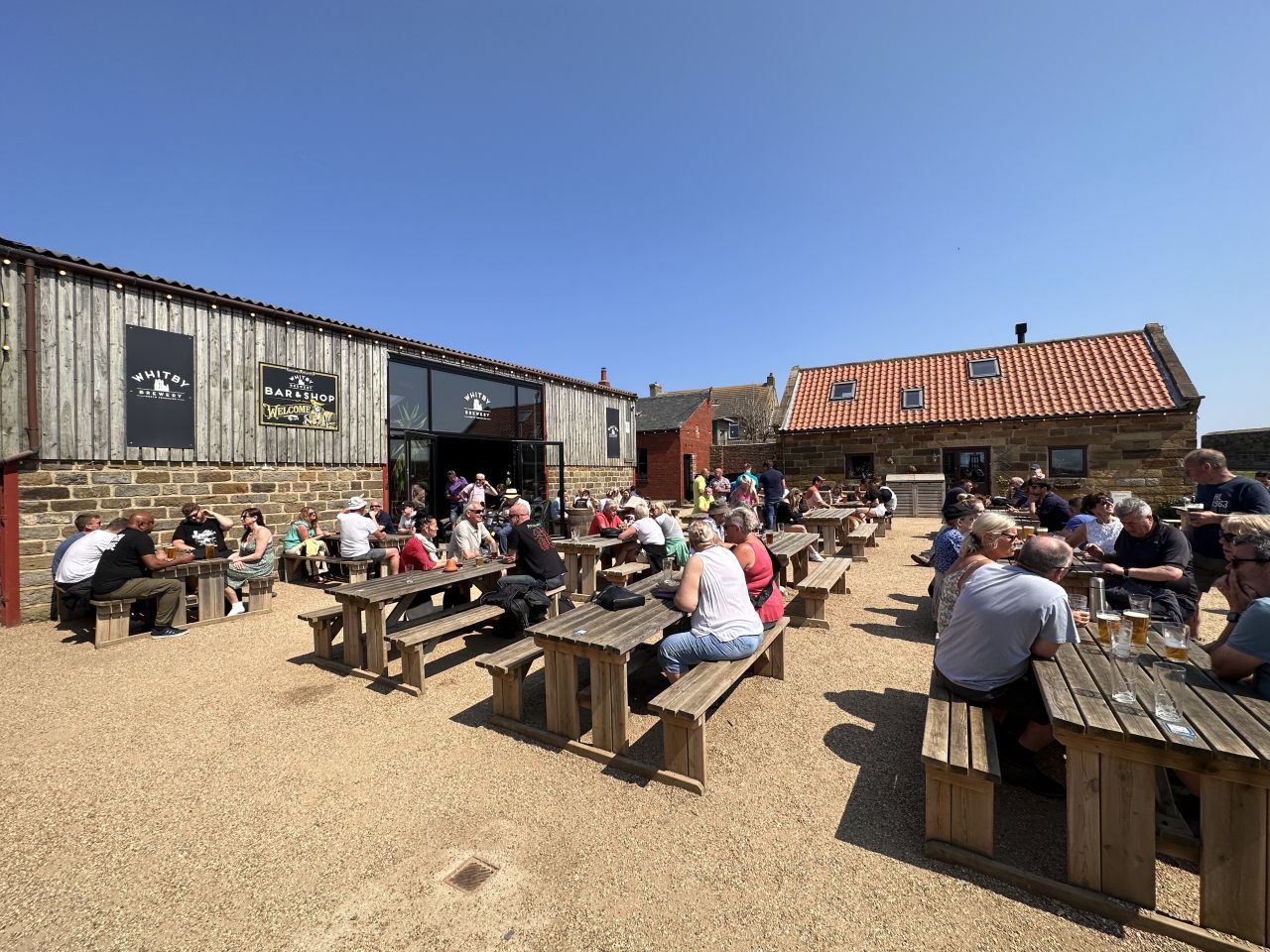
We took a taxi from Blakey Ridge to Grosmont, which saved us a long day of walking. We then played hooky and took a zero day, our second of the trip, going to the seaside town of Whitby and playing tourist for the day. We took a taxi there and back, window shopped, visited the ruins of the old abbey, had some craft beer and ate. The weather was beautiful, and the town was very crowded.

The Route
The day falls into four parts: a steady 2.3-mile climb from Grosmont onto the moor, a long descent into the woods and the beck, a stop at the tea garden near the waterfall, and a long, high finish along the moor and the cliffs above the coast. The high point is 934 feet (285 m), at 2.3 miles. The total climbing was about 1,660 feet.
We left Grosmont at 7:40 am. The first 1.5 miles are a steady climb, from about 110 feet to about 905 feet. At 1.1 miles, at 8:15 am, a bench sits beside the path with a view back across the valley, next to a stone set into a dry stone wall that says “Lucy’s View.” We stopped for a few minutes here.
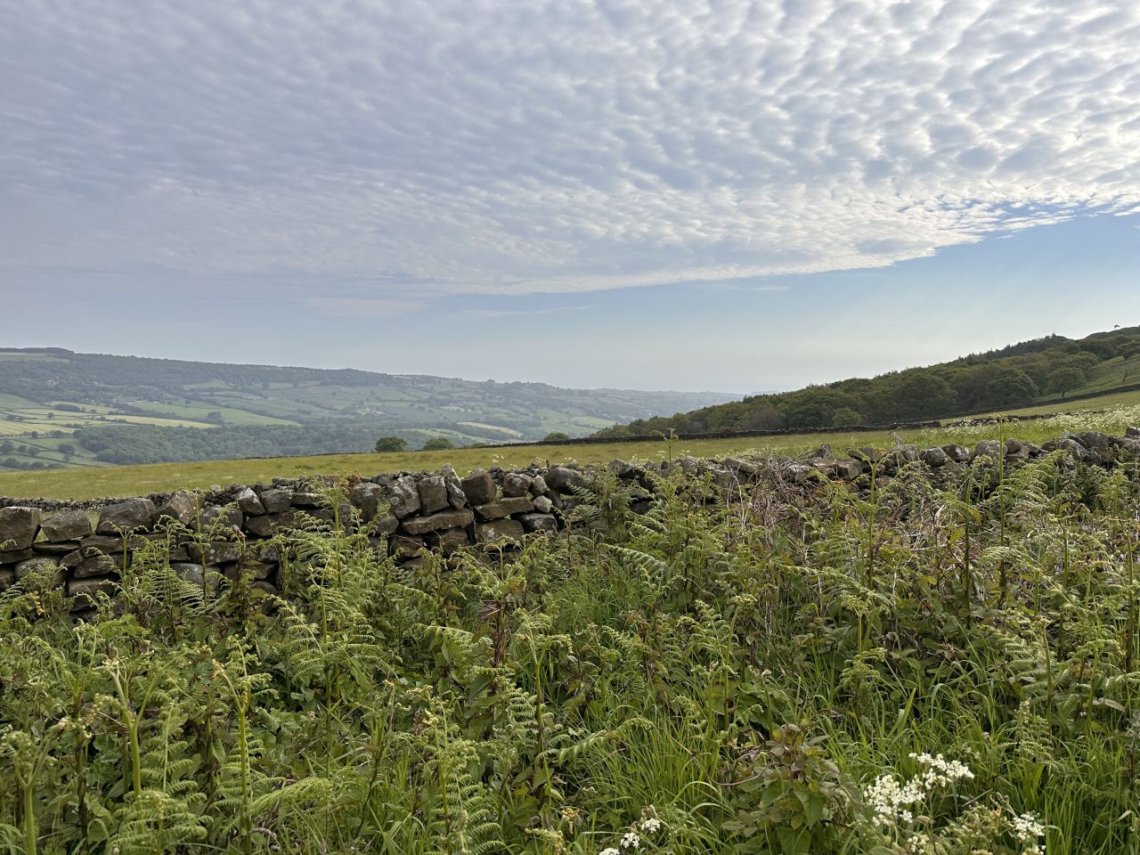
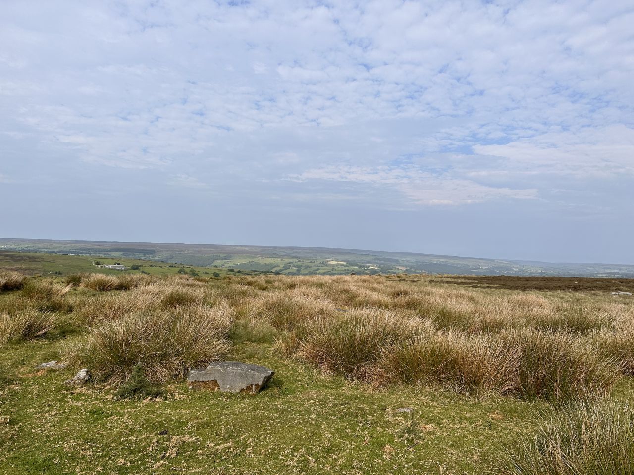
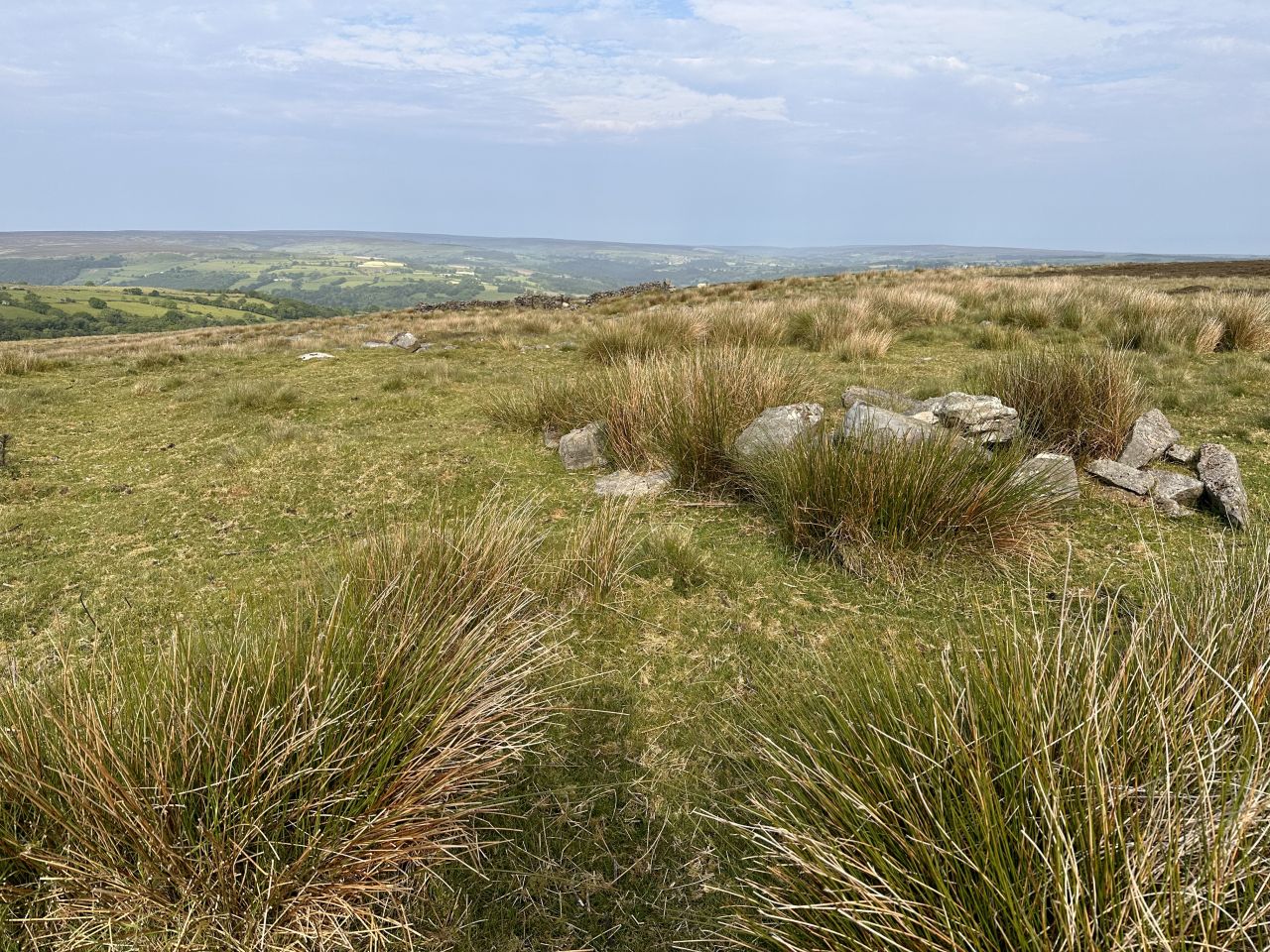
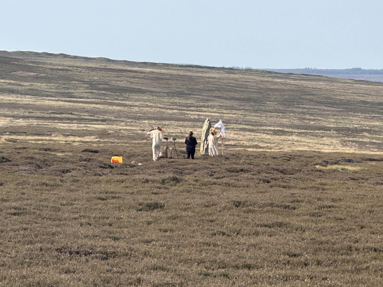
Between 1.5 and 2.5 miles, the path stays near the top, at about 900 to 930 feet, and reaches the high point of the day, 934 feet, at 2.3 miles. At 1.95 miles, at 8:47 am, we saw a small group of people out on the heather moor. It looked like some sort of pagan ritual or a re-enactment, and it was an odd sight in the middle of nowhere.
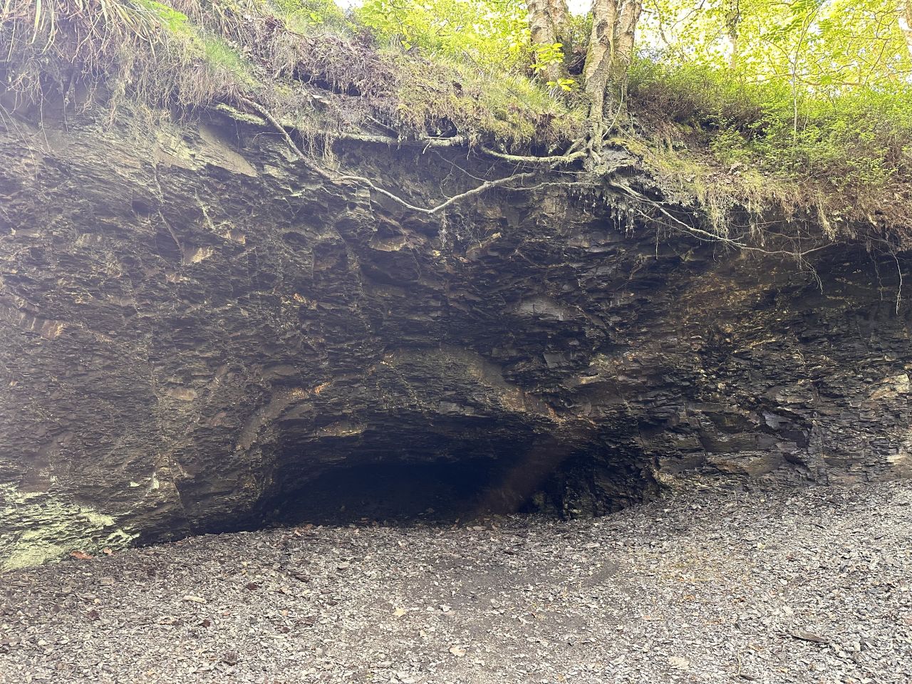
From 2.5 miles, the path drops steadily, from about 910 feet at 2.5 miles to about 400 feet at 3.75 miles, and then to about 200 feet at 4.25 miles, where you come down into the woods and the valley of the beck. The path climbs a little again, to about 270 feet at 4.5 miles and to about 440 feet at 5.25 miles.
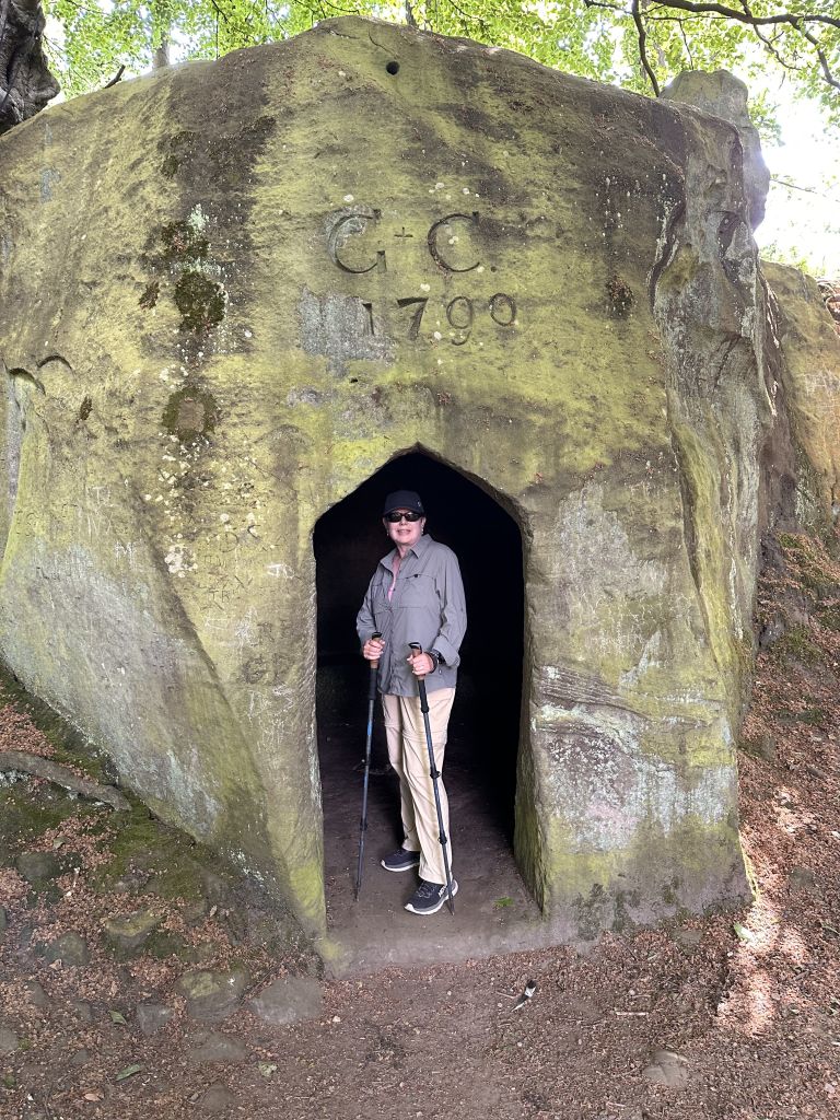
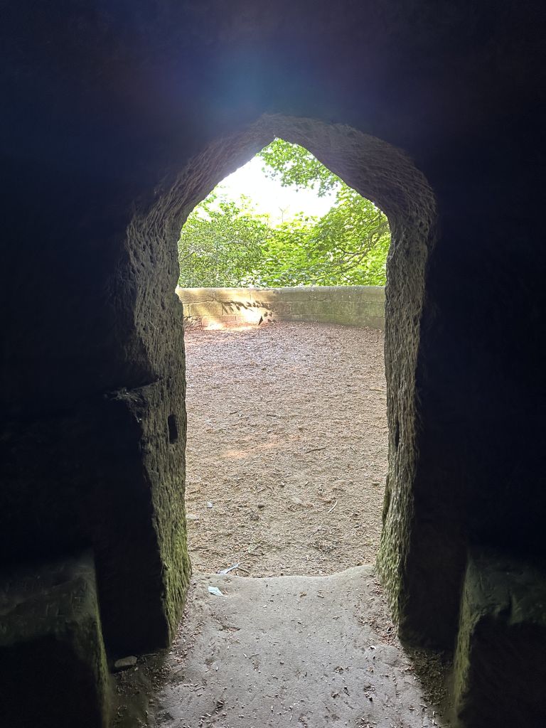
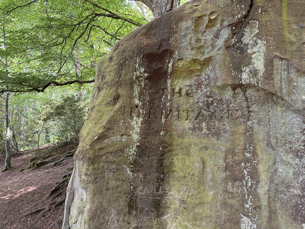
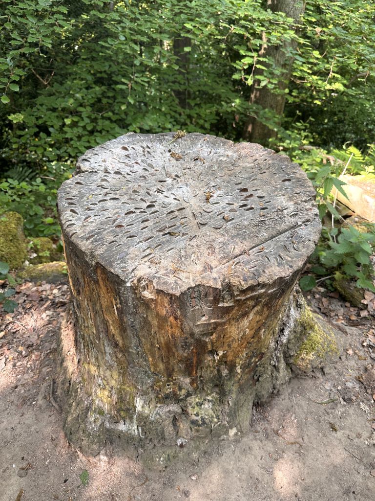
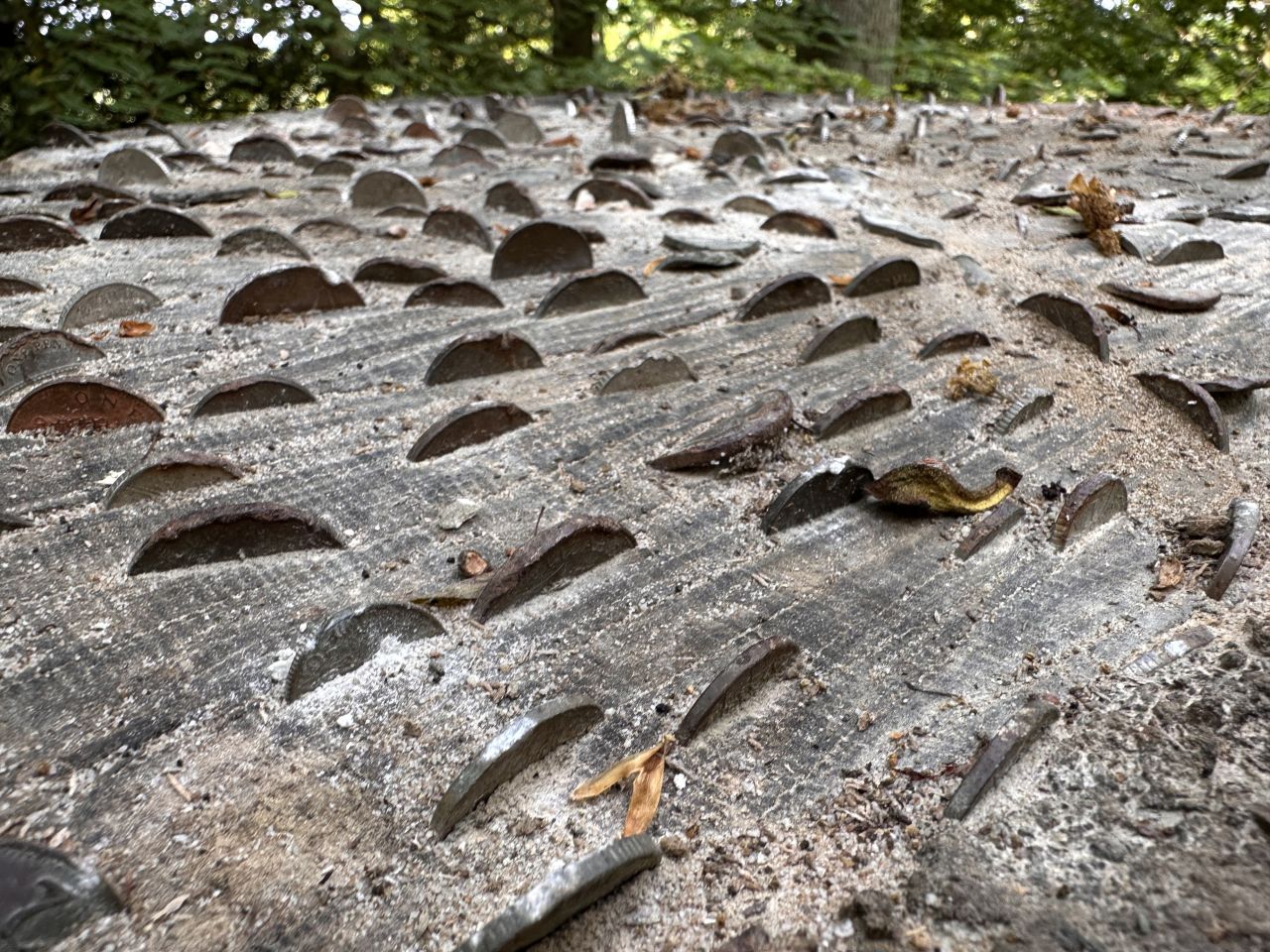
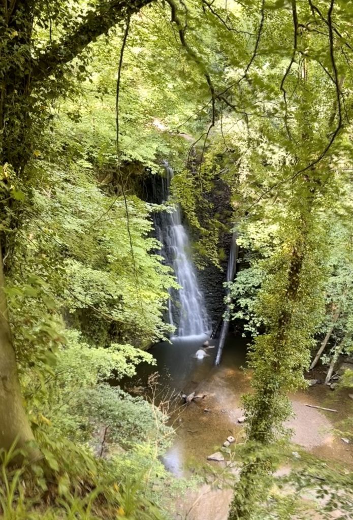
At 5.07 miles, at 10:18 am, in the woods, you come to the Hermitage, a small chamber cut into a big block of sandstone, with the initials “G.C.” and the date 1790 carved above the doorway. Joan stood in the doorway for a photo. At 5.27 miles, at 10:25 am, a tree stump beside the path is covered with coins pressed into the wood by passing walkers. At 5.49 miles, at 10:32 am, you reach Falling Foss waterfall, which falls into a pool in the woods.
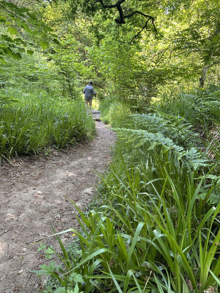
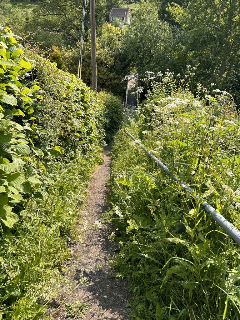
At 5.55 miles, just beyond the waterfall, you reach the Falling Foss Tea Garden, among the trees, with a stone building and covered seating. We stopped here for coffee. It’s a pleasant spot for a long break.
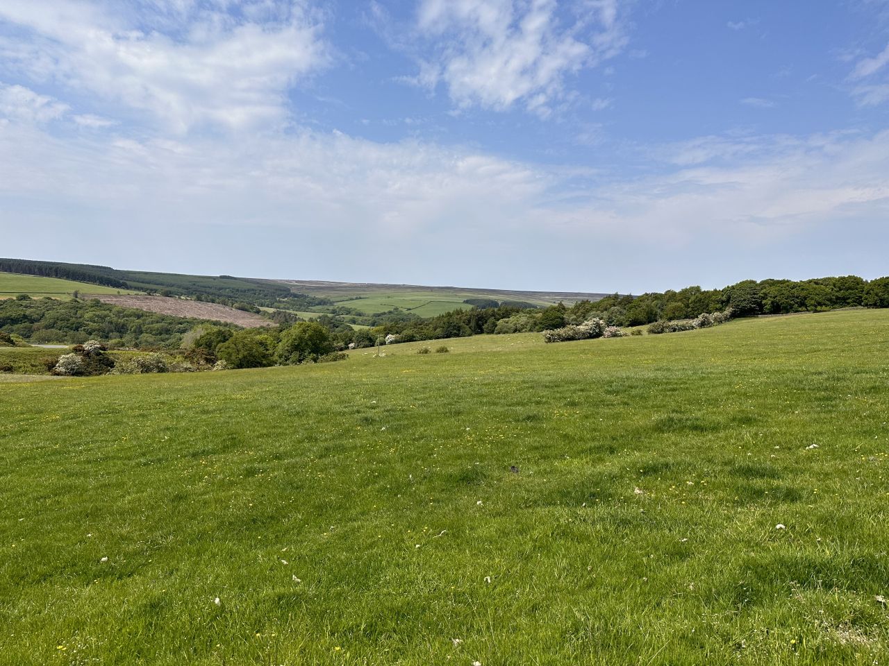
After the tea garden, the path climbs for the next 1.5 miles, from about 420 feet at 5.5 miles to about 720 feet at 7.25 miles. From 7.25 miles to 9.75 miles, it runs along the high ground at about 660 to 730 feet, a long, gentle stretch with wide views.
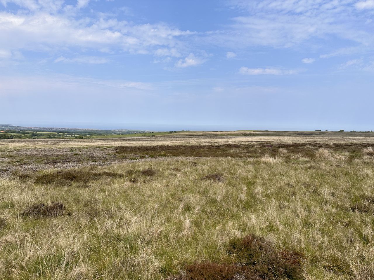
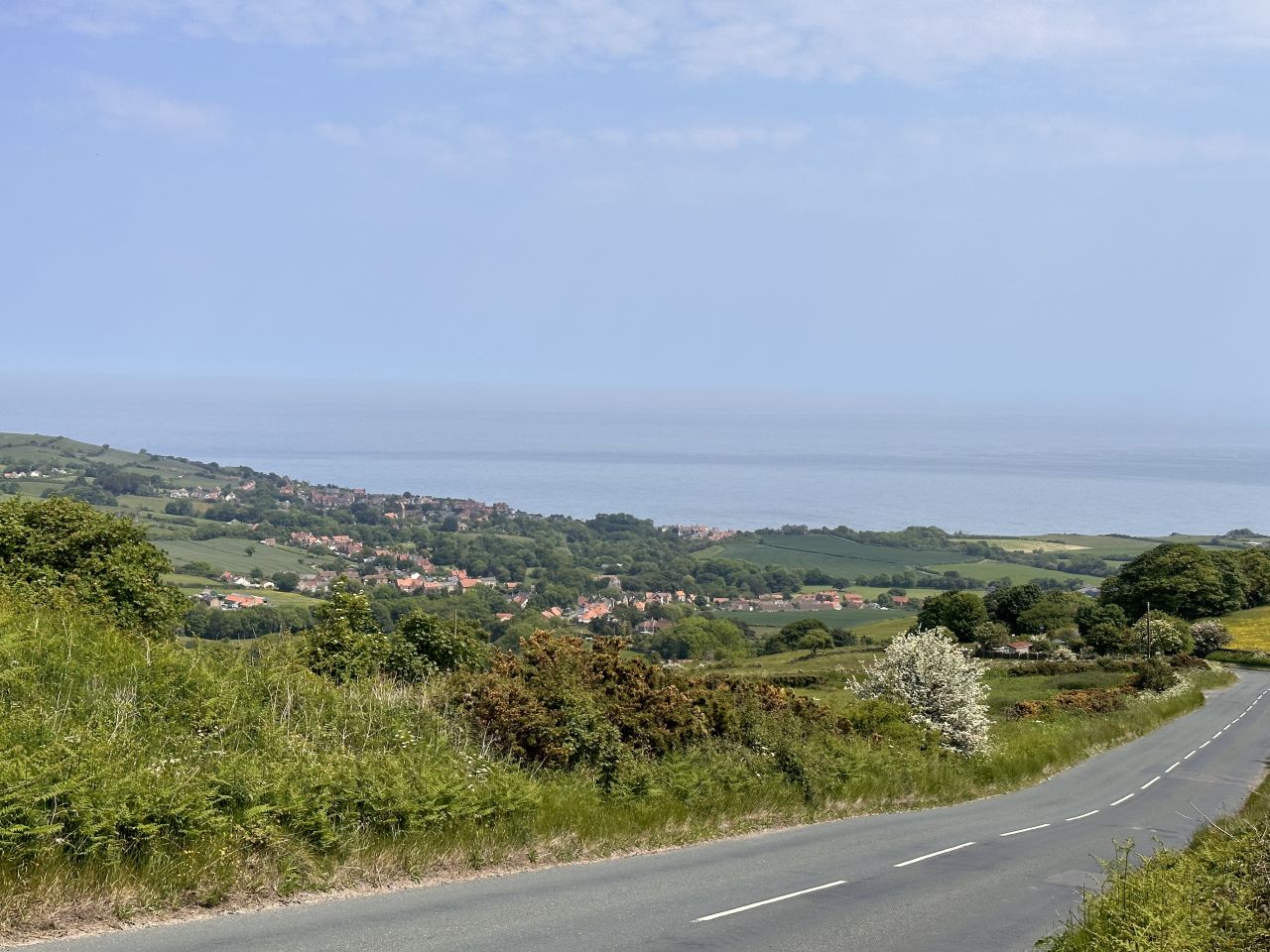
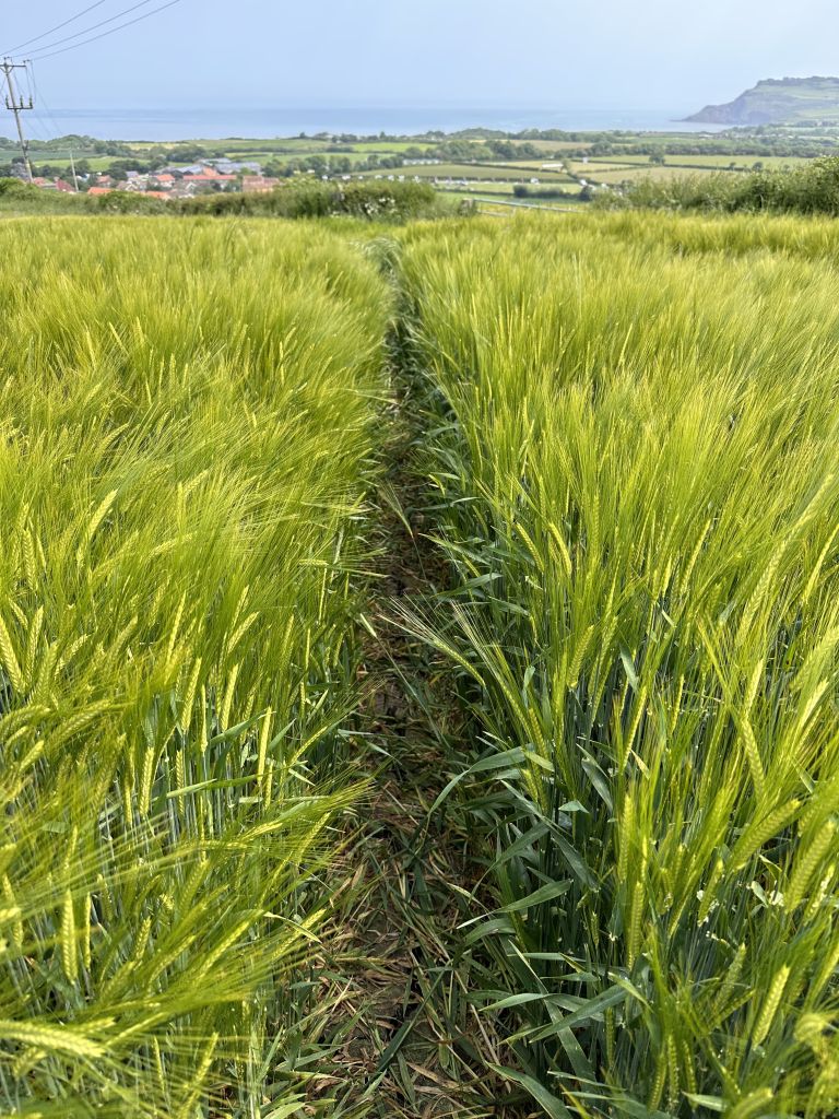
At 9.75 miles, the path begins its last descent. It drops about 540 feet in a mile, from about 730 feet at 9.75 miles to about 190 feet at 10.75 miles. By 11 miles, at about 190 feet, you’re on the edge of Robin Hood’s Bay.
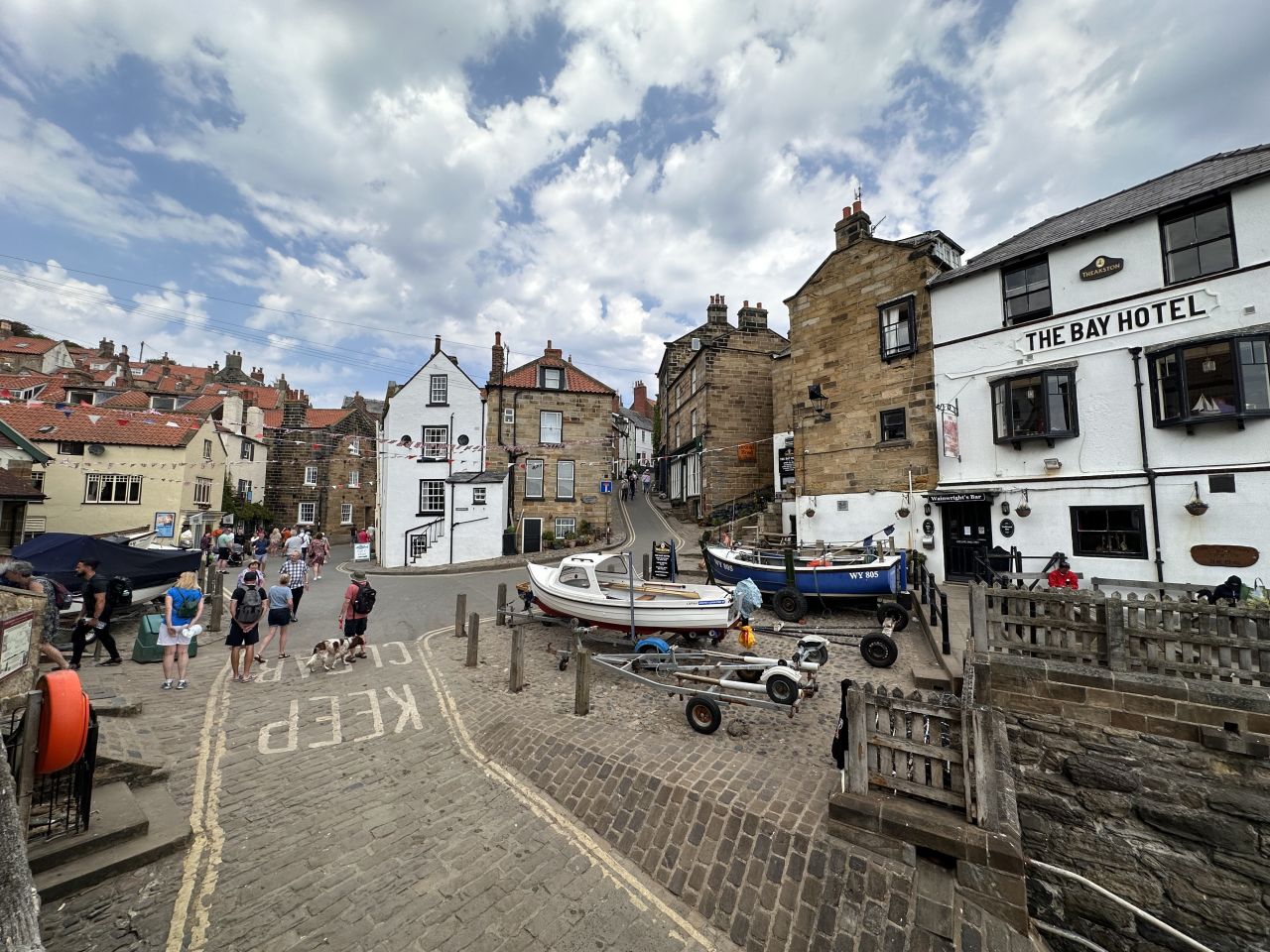
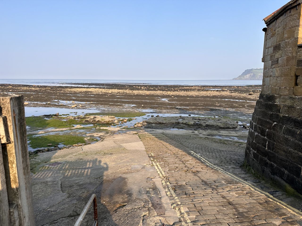
From there, it’s a short walk to the finish at the top of the village, where our GPS track ends at 3:11 pm, after 7 hours and 31 minutes. Then we walked down to the slipway and the North Sea, and tossed our pebbles in the water.
Highlights
The Hermitage. A small chamber cut into a block of sandstone in the woods, carved “G.C.” and 1790. It’s a great place for a photo.
The coin tree. A tree stump covered in coins that walkers have pressed into the wood.
Falling Foss and its tea garden. A pretty waterfall in the woods, with the Falling Foss Tea Garden right beside it, where we stopped for lunch about halfway through the day.
Lucy’s View. A bench and a stone on a dry stone wall with a view back across the valley, early in the climb.
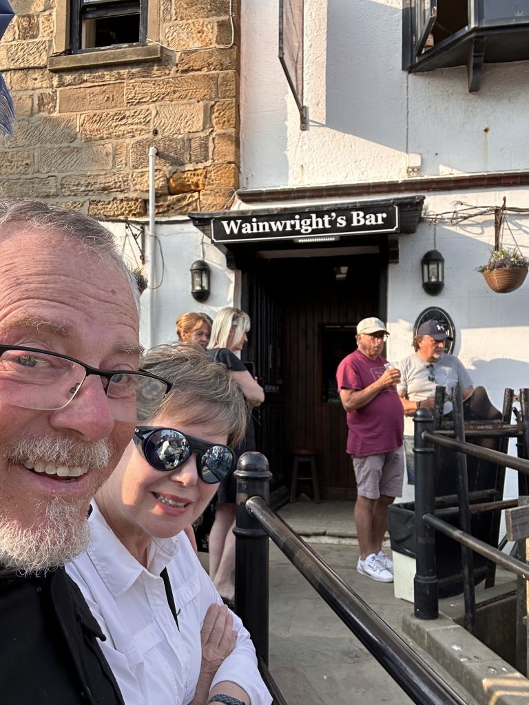
Robin Hood’s Bay. The end of the walk. We tossed our pebbles in the North Sea and caught the tail end of a folk music festival.<!– PHOTO: [The slipway and the sea] –>
Where to Stay
Fernleigh B&B — Robin Hood’s Bay (two nights, Sunday and Monday)
2023 cost: $122 per night
Grosmont B&B — Grosmont (Saturday night, before the walk)
2023 cost: $138.50
Practical Notes
The finish. The tradition is to carry a pebble from the Irish Sea and toss it into the North Sea at the end. The slipway is in the lower village, below the finish at the top of the hill.
The hill. Robin Hood’s Bay is steep, so expect a climb back up from the beach.
Taxis. We took a taxi from Blakey Ridge to Grosmont and another to Whitby and back. Book ahead if you can.
Start early. We left Grosmont at 7:40 am and finished at 3:11 pm, with long stops along the way, so we had time to enjoy the end.
Check for events. We arrived on a Sunday, during a folk music festival. It made the village lively, and it may affect accommodation, so check the dates.
The Day in Numbers
| Start | Grosmont, North Yorkshire (7:40 am) |
| Finish | Robin Hood’s Bay, North Yorkshire (3:11 pm) |
| Distance | 11.71 miles (18.8 km) |
| Elevation gain | 1,661 ft (506 m) |
| Highest point | 934 ft (285 m), at about 2.3 miles |
| Terrain | Moorland track, woodland paths, a coastal descent |
| Difficulty | Moderate |
Originally hiked June 11, 2023. Zero day in Whitby June 10, 2023.
Jeff has hiked and explored trails for over 50 years, covering everything from casual canyon walks to rugged multi-day Sierra routes. He started SoCalHiker.net in 2010 to document the trails he loves — and to make it easier for others to discover them.
You must be logged in to post a comment.