
Day 2 of the Tour du Mont Blanc is a mountain day with a cheese break. You climb out of Refuge des Prés to the Croix du Bonhomme, drop into the valley to Les Chapieux, and then (if you’re us) take a bus to La Ville des Glaciers, stop for a cheese tasting, and walk the last stretch to Refuge des Mottets. The refuge is huge and very nice, and I would stay there again.
The Route
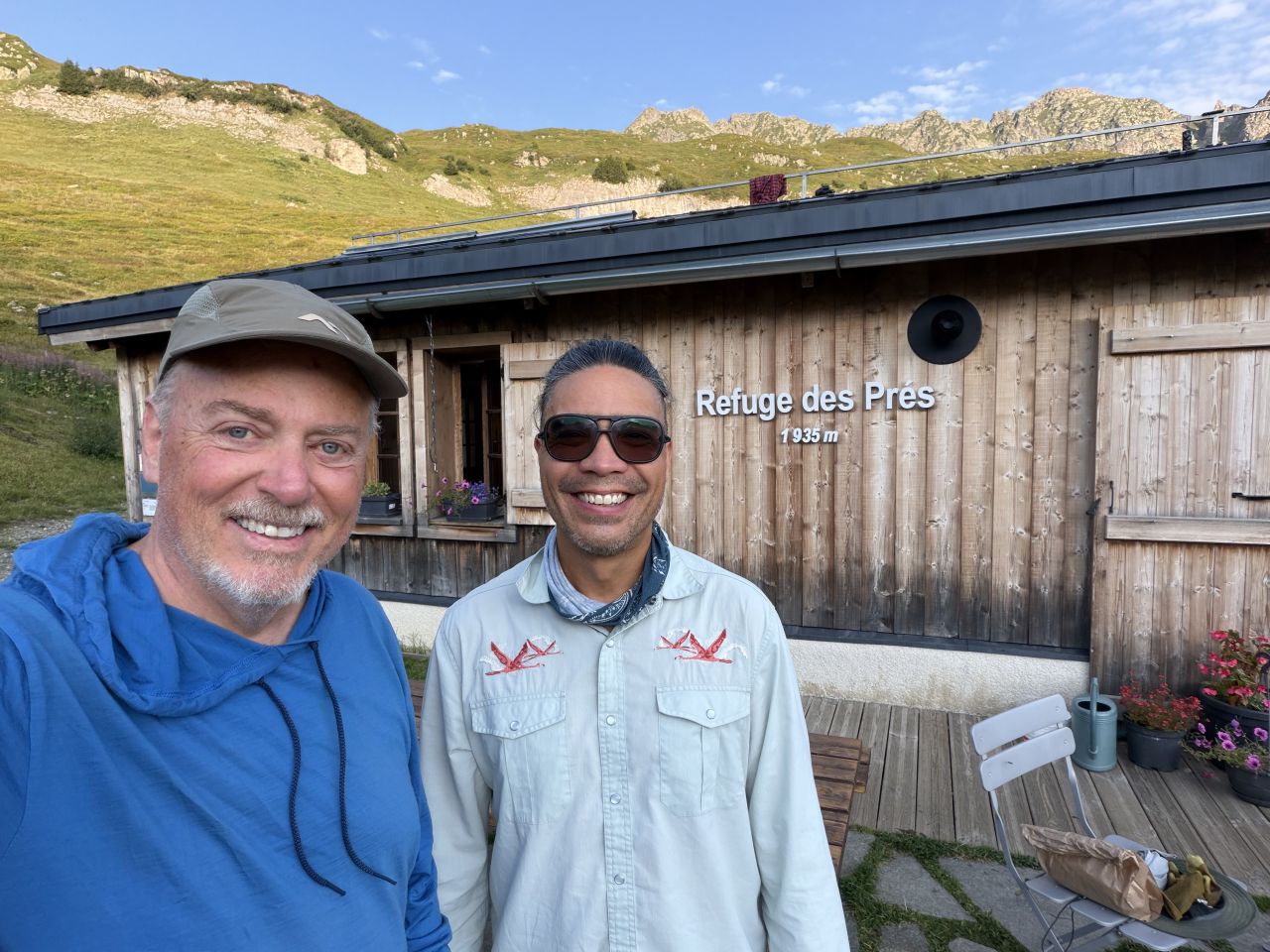
We left Refuge des Prés at about 8:00 AM with a box lunch from the refuge. It was a clear morning at 63°F.
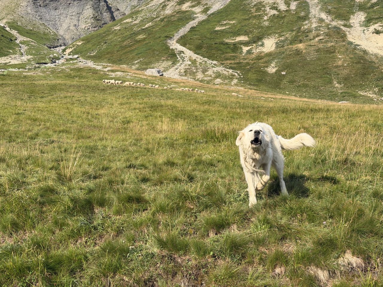
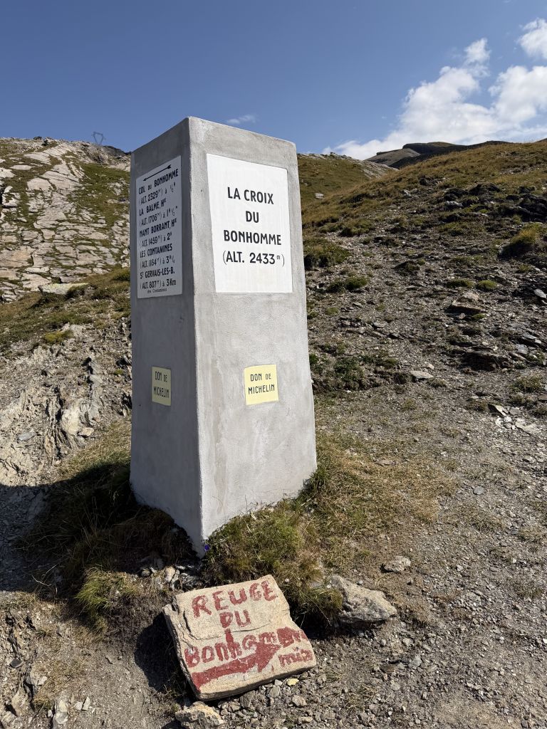
The trail climbs through alpine meadows up to the Croix du Bonhomme (2,433 m), the high point of the day. On the way up, we met a pair of big white dogs in the meadow. They were with someone herding the cattle.
We ate our box lunch at the Col de la Croix du Bonhomme.
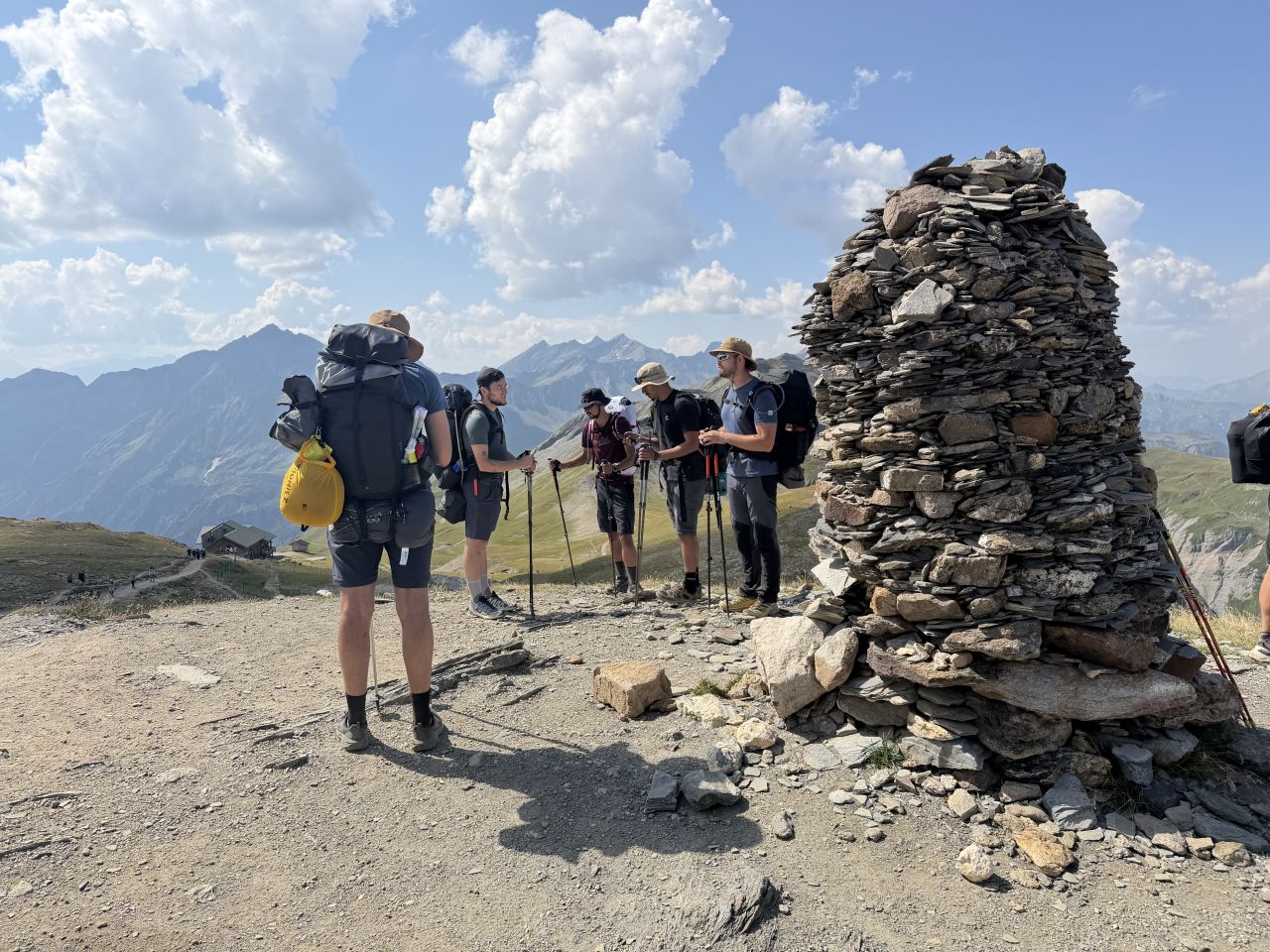
From the pass, the trail drops down a long valley toward Les Chapieux.
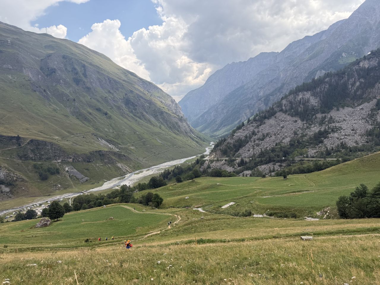
From Les Chapieux, we took the bus to La Ville des Glaciers instead of walking. The bus cost 5 euros one way, and we paid by card at a machine.
At La Ville des Glaciers we stopped at a cheese maker, GAEC Les Glaciers. We saw the cheese cellar, tasted some Beaufort and bought some to snack on over the next few days on the trail.
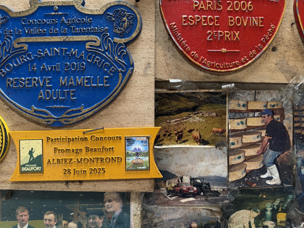
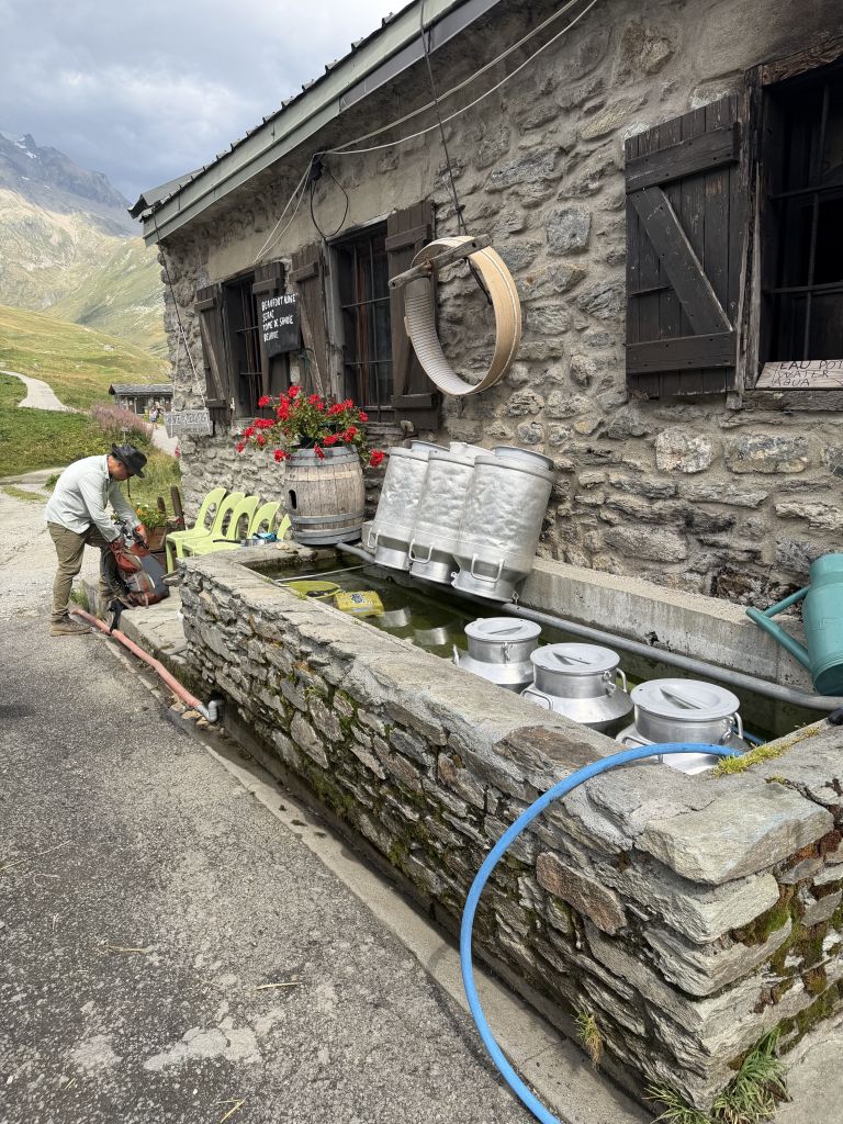
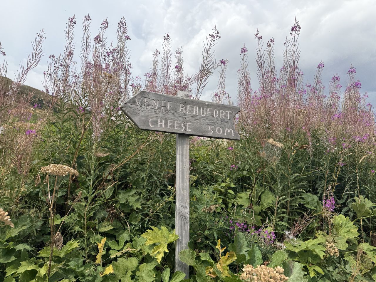
From there it’s a short walk to Refuge des Mottets. The sky had turned dark as we approached.
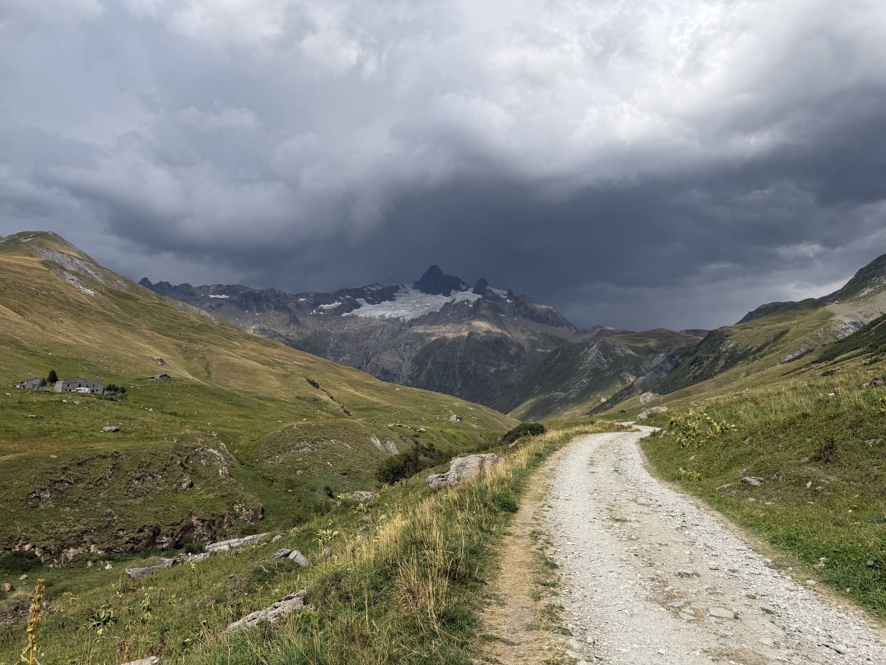
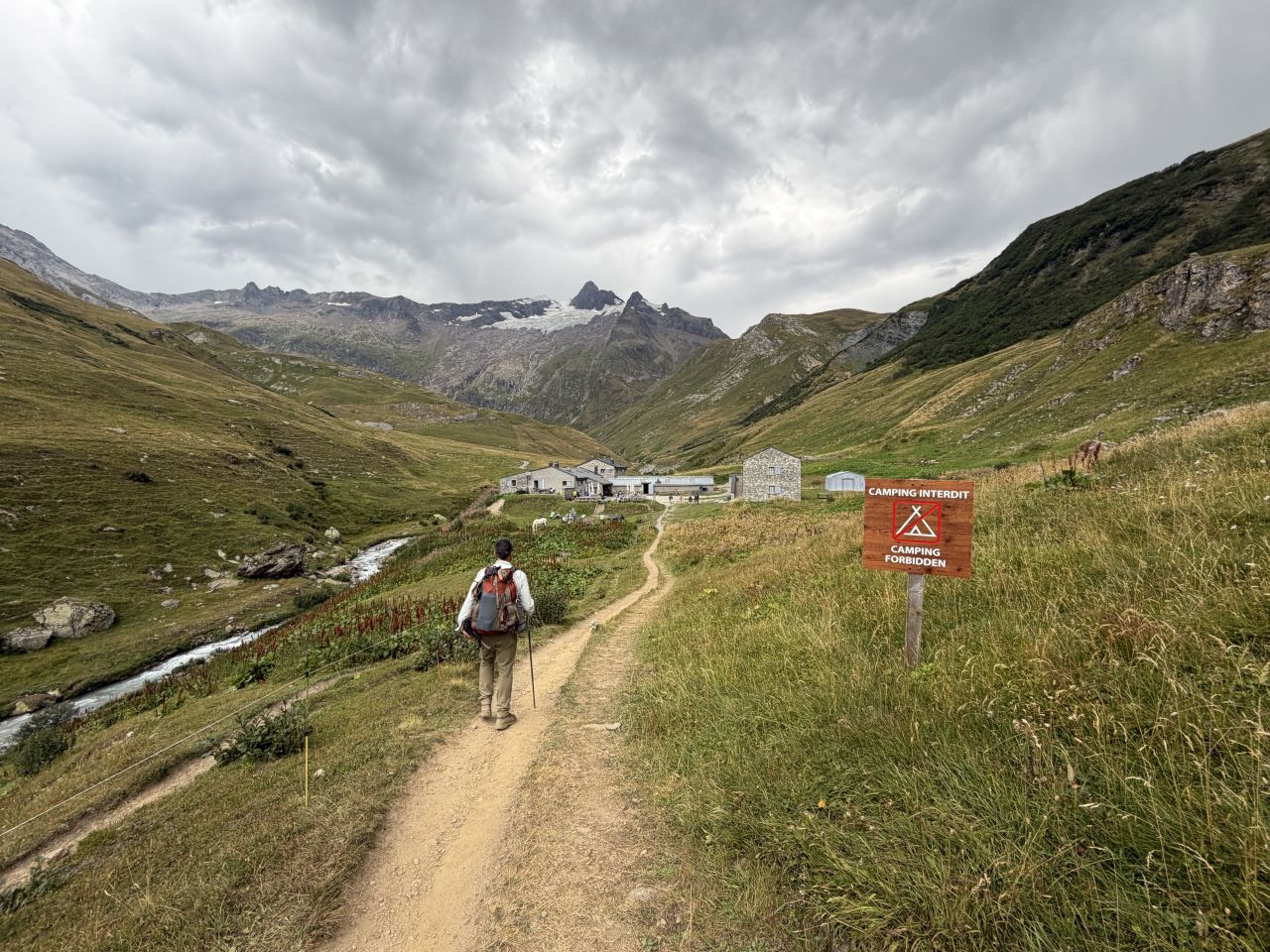
Highlights
- The Croix du Bonhomme. The high point of the day, at 2,433 m, and a good place for a box lunch.
- A Beaufort cheese tasting. We saw the cheese cellar at La Ville des Glaciers, tasted Beaufort and bought some for the trail.
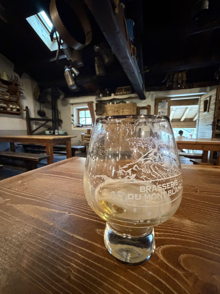
- Beers with wild campers. We had beers with a group of college students from the London area who were also hiking the TMB, but wild camping. They were just stopping for a beer before continuing on.
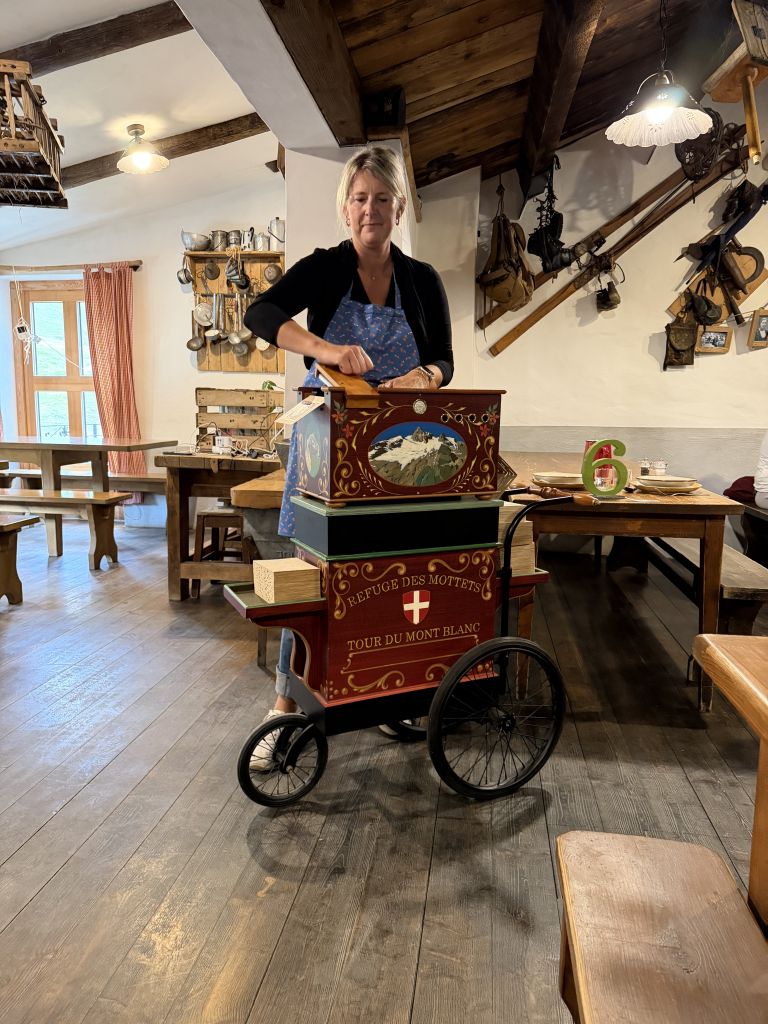
- Dinner with a hand-crank music box. Great food, with entertainment from one of the refuge staff.
Where to Stay
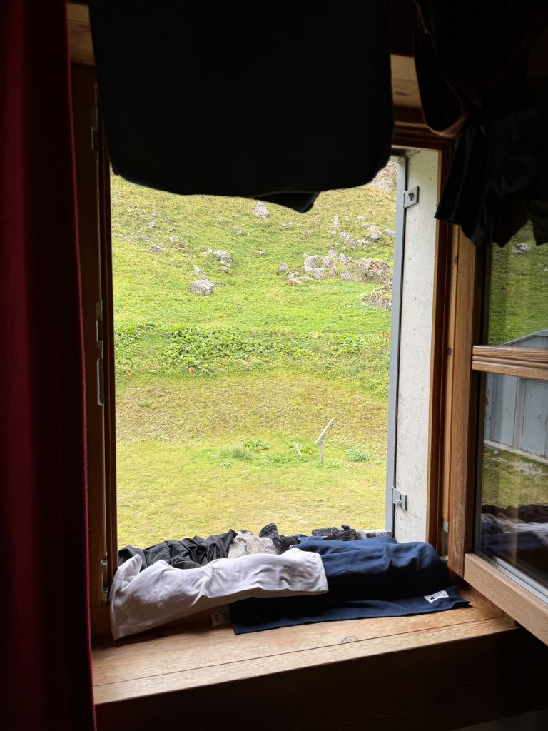
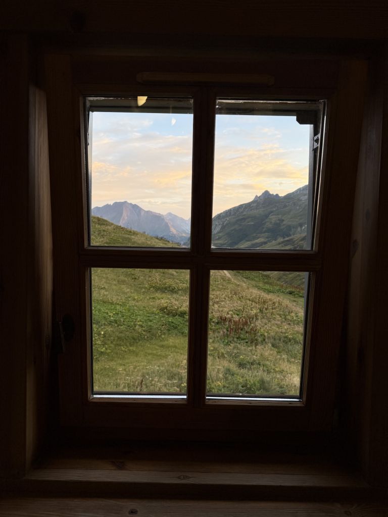
On the trail: Refuge des Mottets. This refuge was huge and very nice, and I would stay here again. We were in a dorm room with bunk beds, shared with two young women from Vancouver, Canada. I’d highly recommend it to anyone planning a trip.
Where to Eat
Box lunch from Refuge des Prés. We took a box lunch from the refuge and ate it at the Col de la Croix du Bonhomme.
Beaufort cheese at La Ville des Glaciers. We tasted it at the cheese maker, then bought some to snack on.
Dinner at Refuge des Mottets. Dinner was great, with entertainment from a hand-crank music box. We also had beers with the London students.
Practical Notes
- Bus: We took the bus from Les Chapieux to La Ville des Glaciers. It was 5 euros one way, paid by card at a machine.
- Box lunch: Refuges can pack a lunch for the trail. We took one from Refuge des Prés.
- Cheese stop: The cheese maker at La Ville des Glaciers has a cellar you can see and Beaufort you can taste and buy.
The Day in Numbers
| Distance | 9.2 mi (14.8 km), not including the bus ride |
| Elevation gain | 2,412 ft (735 m) |
| Moving time | 4h 30m |
| Elapsed time | 7h 59m |
| Start | Refuge des Prés, about 8:00 AM |
| End | Refuge des Mottets |
| High point | Croix du Bonhomme, 2,433 m (7,982 ft) |
| Weather | Clear and 63°F in the morning, darker skies later |
Originally hiked August 14, 2026 with Paul Bessenbacher.
Jeff has hiked and explored trails for over 50 years, covering everything from casual canyon walks to rugged multi-day Sierra routes. He started SoCalHiker.net in 2010 to document the trails he loves — and to make it easier for others to discover them.
You must be logged in to post a comment.