
Day 12 started with a foggy climb with no views, then sent us plummeting downward 3,805 feet to camp at Maple Creek, our final campsite of the trip.
The Route
Before we headed out, we took one more look at the ravine at Indian Bar, then started the climb up to Cowlitz Divide. The divide begins about a mile south on the trail, and you follow it for the next two miles. On a clear day you’d have sweeping views on either side. The Pacific Northwest said, “Not today.”
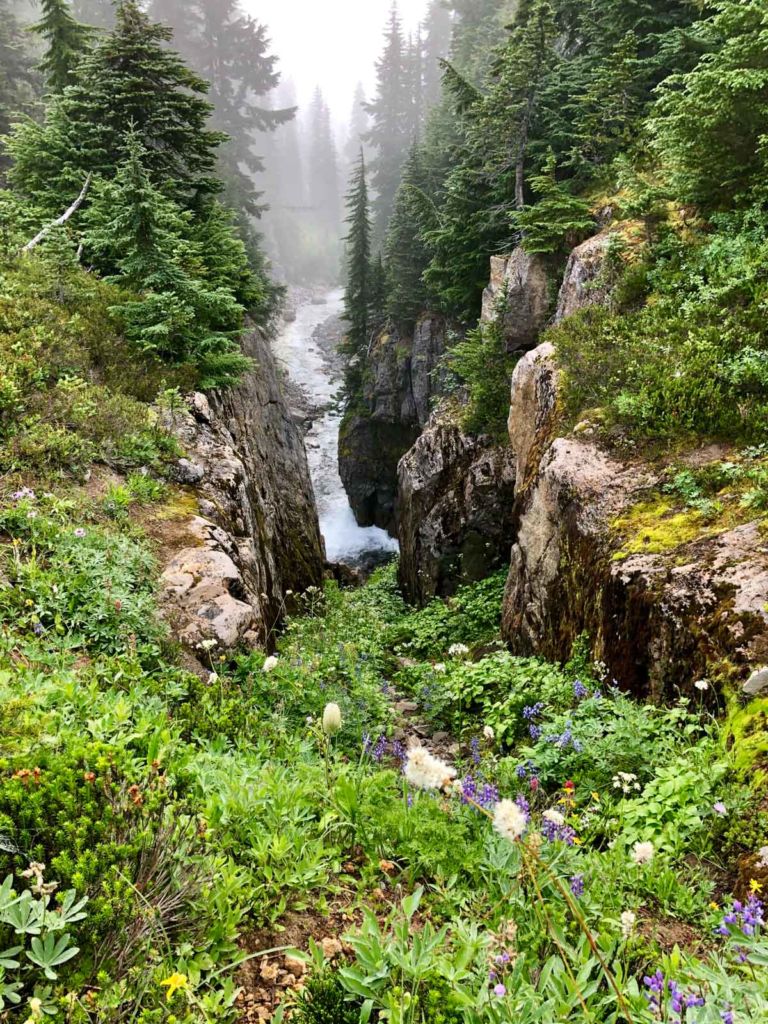

At about the five-mile mark, we reached the junction with the trail to Olallie Creek Camp. Stay right and follow the trail down into the heavily forested canyon.
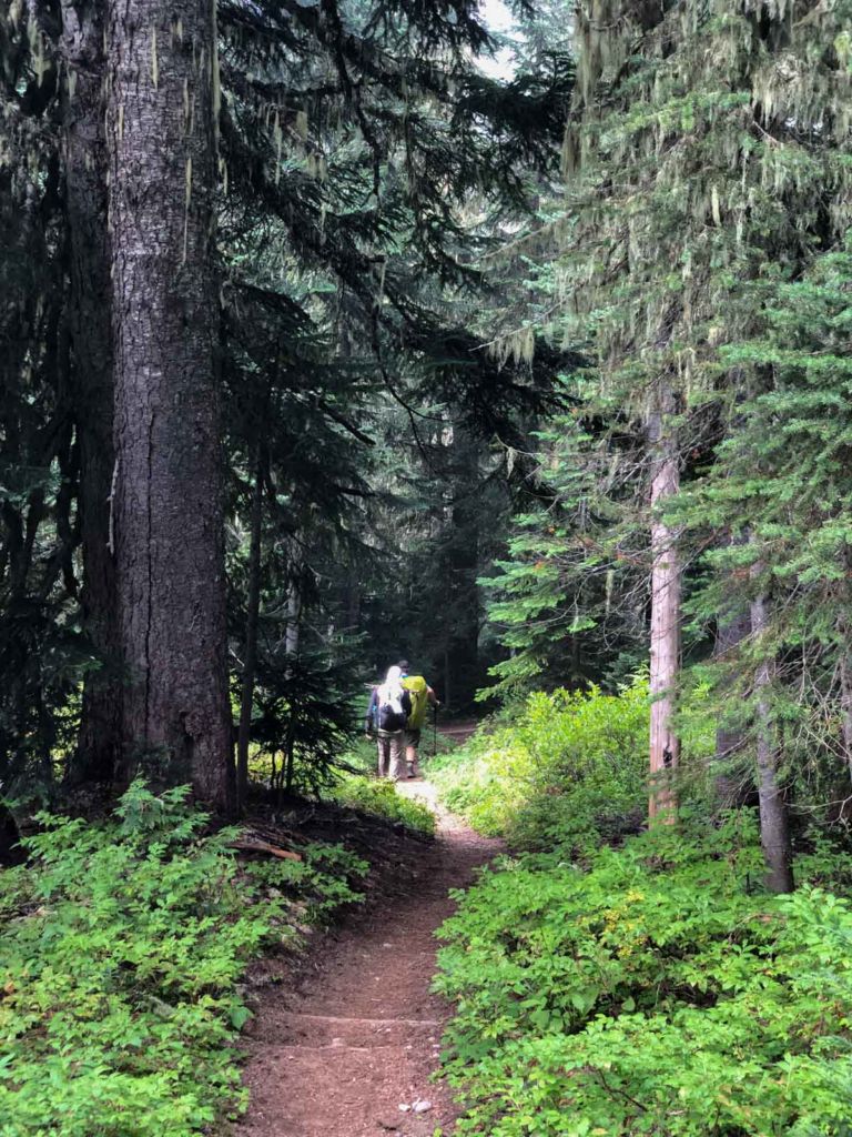
Two miles further and we reached the Nickel Creek crossing. We were nearing an elevation of 3,000 feet, and the forest grew thicker and darker as we dropped through different zones.
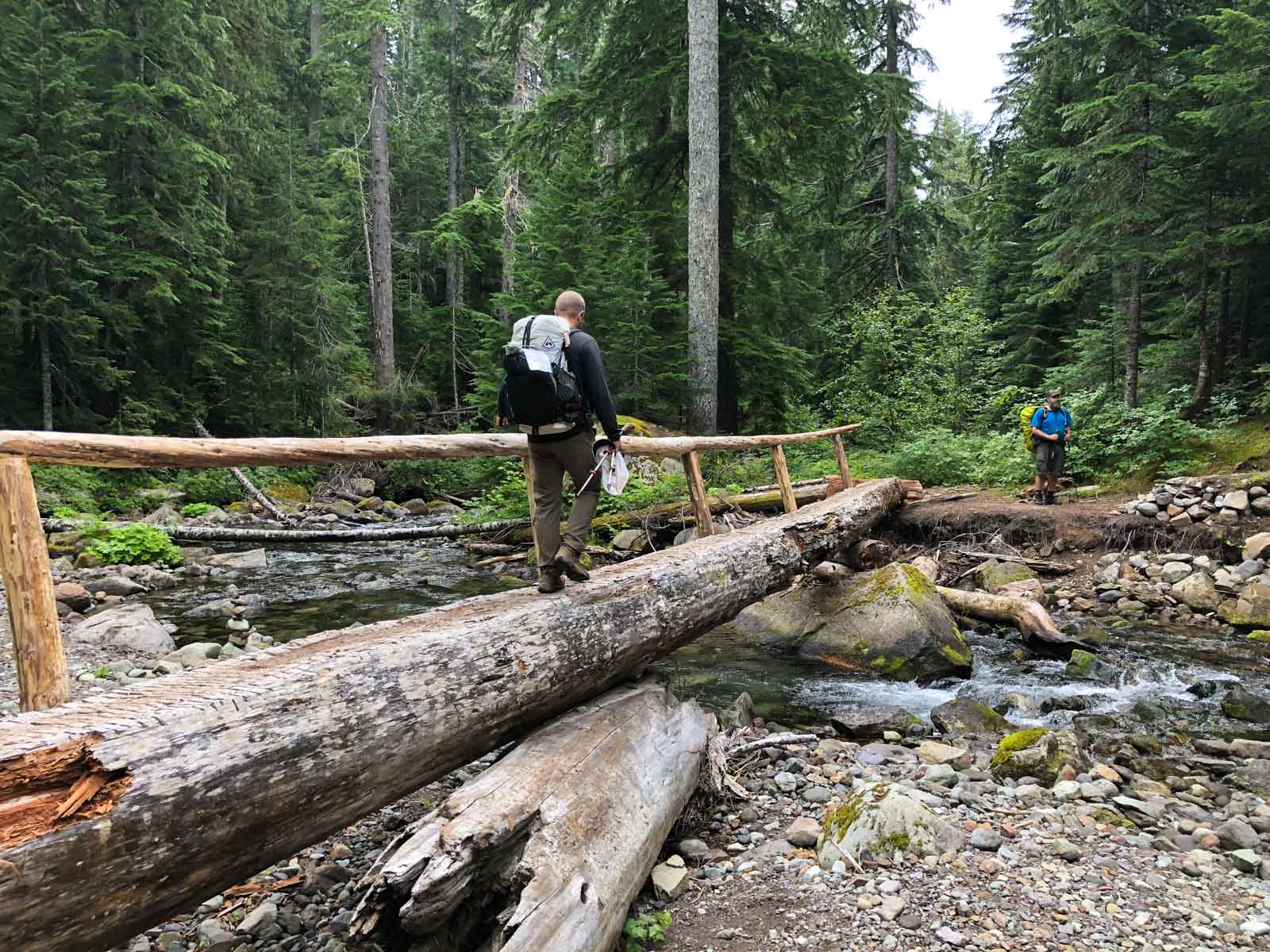
At Box Canyon the trail on the west side of the bridge was closed for maintenance, so we crossed at the road and took the opportunity to use a civilized restroom, with a sink and everything. We hiked through the tunnel and reconnected with the trail down toward Stevens Canyon.
Once you reach Stevens Canyon, the trail begins to climb parallel to Stevens Creek. In just over a mile you reach a side trail to Maple Creek Camp.
Highlights
Cowlitz Divide
Two miles along a ridge that should have given us sweeping views on both sides. We got fog. On a clear day, this is the scenic stretch of the day.
Box Canyon
The trail on the west side of the bridge was closed when we came through, so we crossed at the road and found a civilized restroom, sink and all, before hiking through the tunnel.
Where to Stay
Maple Creek Camp is verdant green, thick with trees and undergrowth. We pitched our tents, replenished our water from the creek, and did a little exploring. We hoped to work our way to Maple Falls, but there was no tread to be found, the creek banks were overgrown, and the creek itself had deep sections that would require wading, scrambling and, frankly, more than we had energy for.

Food & Water
We replenished our water from the creek at camp and had one final hot meal on the trail.
Practical Notes
- Weather: Fog covered the divide, so we had no views. Don’t count on them.
- Navigation: At about the 5-mile mark, stay right at the Olallie Creek Camp junction.
- Descent: The trail drops 3,805 feet over the day.
- Box Canyon: The trail on the west side of the bridge was closed for maintenance when we hiked in 2019, so we crossed at the road. Check current conditions before you go.
- Maple Falls: We found no tread, overgrown banks and deep sections, so we skipped it.
- Camp: Maple Creek Camp is on a side trail, just over a mile up the trail along Stevens Creek.
The Day in Numbers
| Start | Indian Bar |
| End | Maple Creek Camp |
| Distance | 10.6 miles (17.1 km) |
| Moving time | 5 hours |
| Elevation gain | 1,220 ft (372 m) |
| Elevation loss | 3,805 ft (1,160 m) |
| Key points | Cowlitz Divide, Olallie Creek Camp junction (about mile 5), Nickel Creek, Box Canyon, Stevens Canyon |
| Camp | Maple Creek (final night of the trek) |
Tomorrow would be our final day on the Wonderland Trail.
Originally hiked on August 16, 2019 with Derek and Jason.

Jeff has hiked and explored trails for over 50 years, covering everything from casual canyon walks to rugged multi-day Sierra routes. He started SoCalHiker.net in 2010 to document the trails he loves — and to make it easier for others to discover them.