
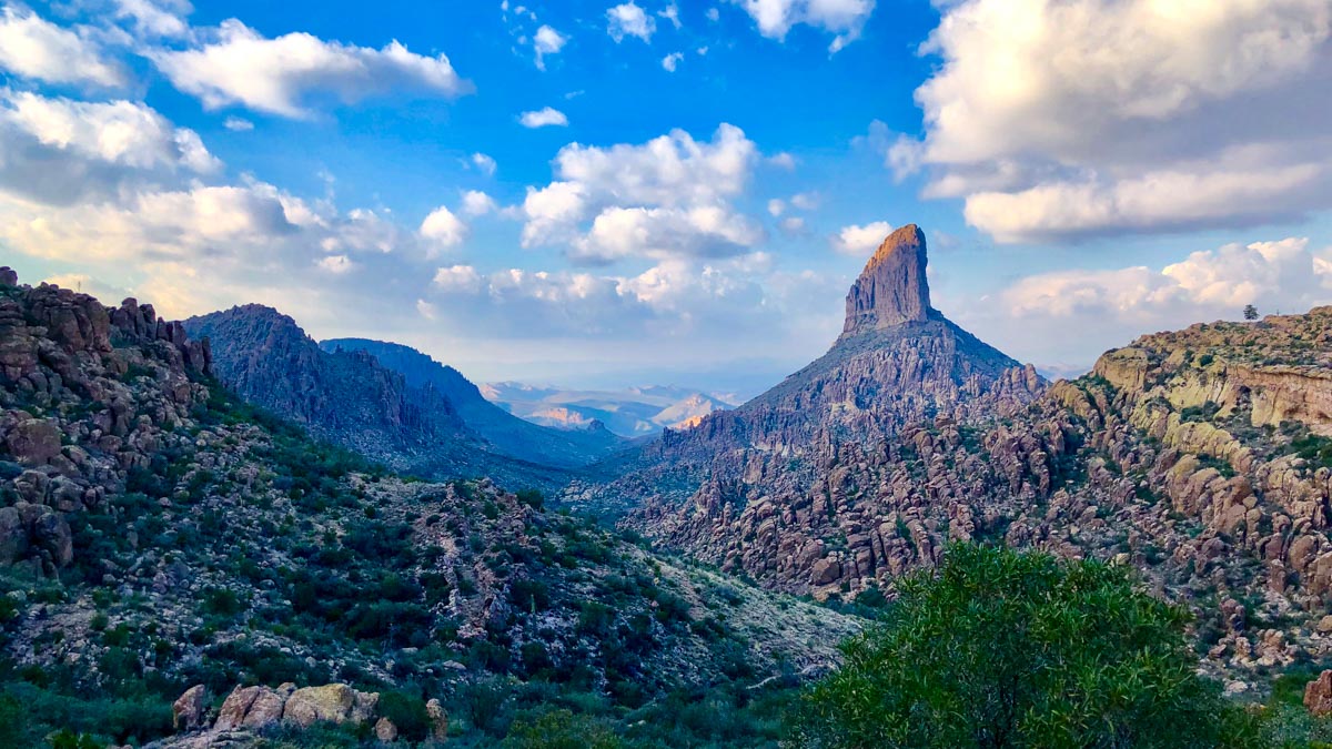
Hiking Fremont Saddle via Peralta Canyon
Peralta Canyon Trail #102
Mod. Strenuous
4.8 mi
Out-and-back
4.8 mi
7.7 km
Distance
1,496 ft
456 m
Gain
3,766 ft
1,148 m
Summit
3 hours
Est. time
The Superstition Mountains are a beautiful sight, looking in from any of the surrounding areas. But if you want to see what beauty lies within, you need to take a trip up one of its many canyons.
Peralta Canyon gives access to one of the most breathtaking views in Arizona. At Fremont Saddle, you’ll have a spectacular vantage point of a massive and surprising monolith. Often playing a role in stories of the Lost Dutchman’s Gold Mine, Weavers Needle is a 1,000 foot column of rock that protrudes impressively from the surrounding desert landscape.
Getting to the Trailhead
From the Phoenix area, get on US-60 heading East. From the I-10, go about 38.8 miles on highway 60. Just past the town of Gold Canyon, turn left onto Peralta Road. After about one mile the road turns to well maintained dirt and gravel (no 4×4 or clearance required). Go another 6.5 miles on this unpaved road and you’ll dead-end into the parking lot for the trailhead. Get turn-by-turn directions to the Peralta Trailhead on Google Maps.
The parking lot fits fifty to sixty cars, but does fill up at times. There’s more parking about 0.2 mile back down the road if the closer lot is full. The trailhead has a pit toilet bathroom, but no running water.
Hiking Fremont Saddle via Peralta Canyon
From the parking lot, head North on the Peralta Canyon Trail #102. Be sure to stay left at the very start – another trail splits off to the right direction from the same trailhead.
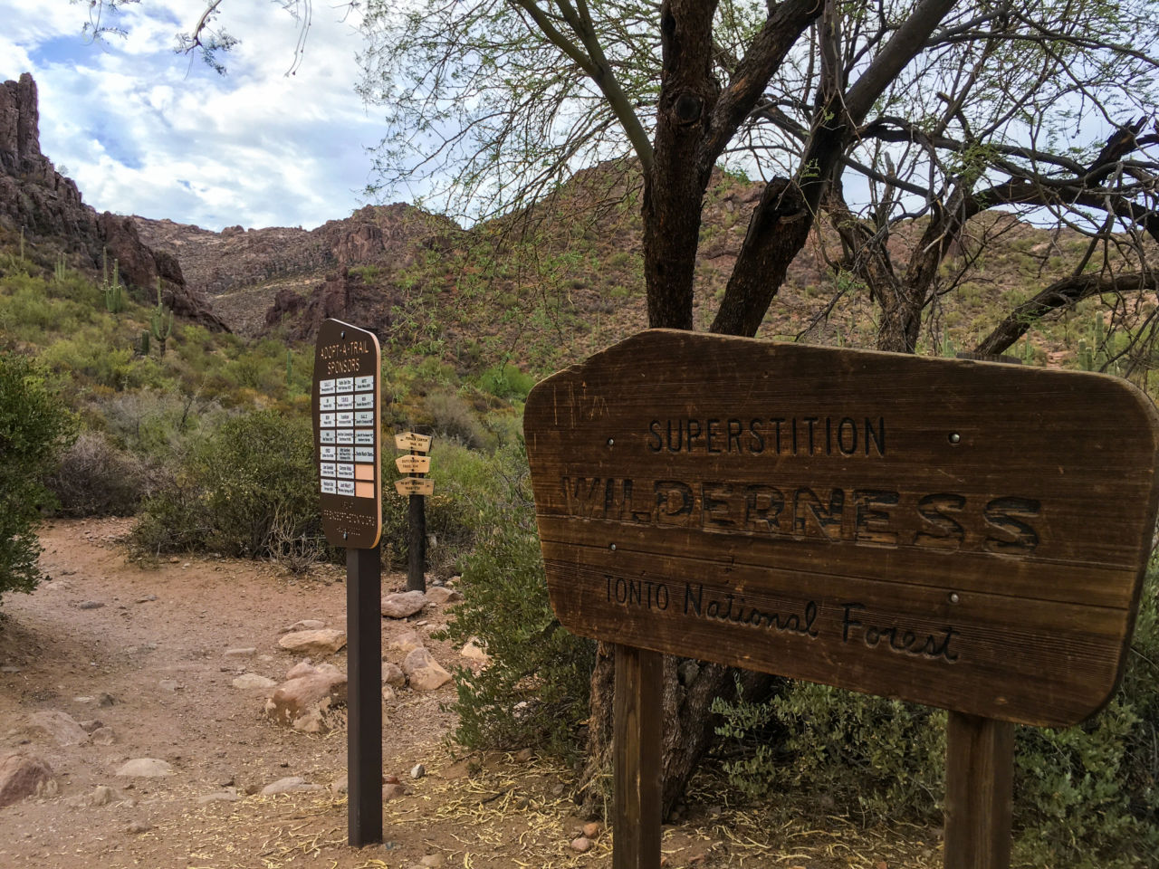
Around the quarter mile in the trail crosses right over the center wash of the canyon. This is probably the most confusing point along the entire hike. It’s not very obvious where the trail goes – just continue across and up the uneven rock.
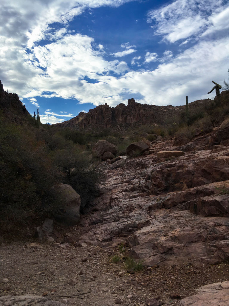
The trail is quite obvious from here. It crosses back to the left side of the wash again around the 1.3 mile mark, and then again back to the right side around the 1.8 mile mark. The trail then switchbacks a handful of times before turning West for the final quarter mile to the saddle. You’ll know you’re there when you see Weaver’s Needle standing tall about a mile away.
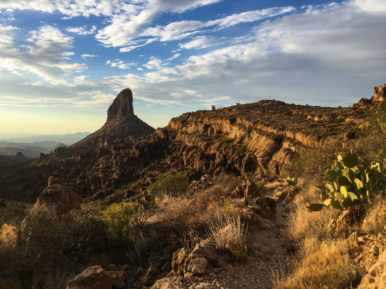
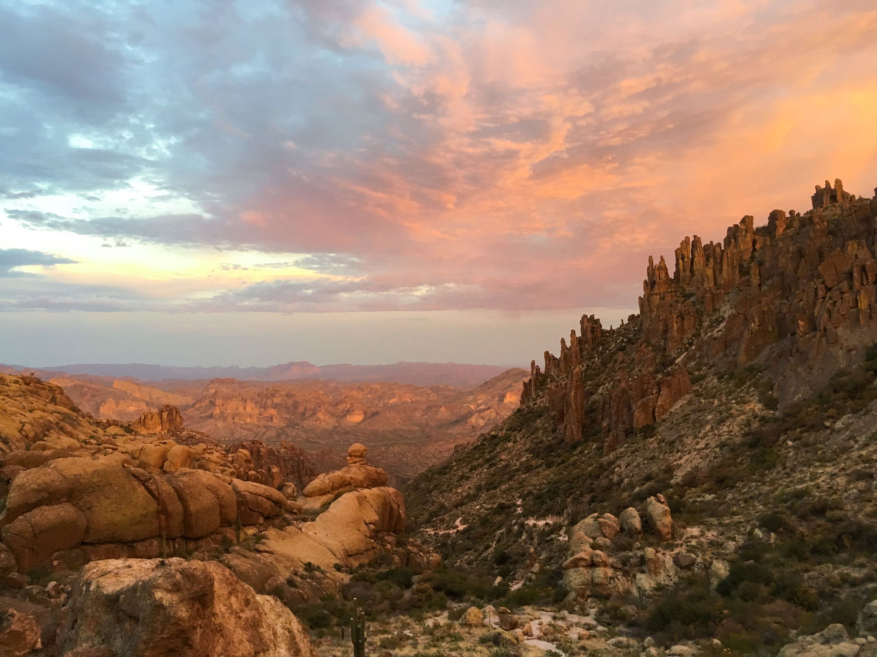
When you’ve finished taking it all in, return the way you came.
Fremont Saddle Trail Map & Elevation Profile
Fremont Saddle Resources
- Tonto National Forest, official Superstition Wilderness website
- Group size limited to 15 people
- Get turn-by-turn directions to the Peralta Trailhead on Google Maps

Arizona Six-Pack of Peaks Challenge – Winter Edition
This hike is part of the Arizona Winter Six-Pack of Peaks Challenge. This self-paced hiking challenge includes six hikes all easily reached from the great Phoenix metropolitan area. They are a great way to explore the area, train for bigger adventures, and you’ll be doing good, with a portion of the net proceeds going to support Big City Mountaineers.
You must be logged in to post a comment.