
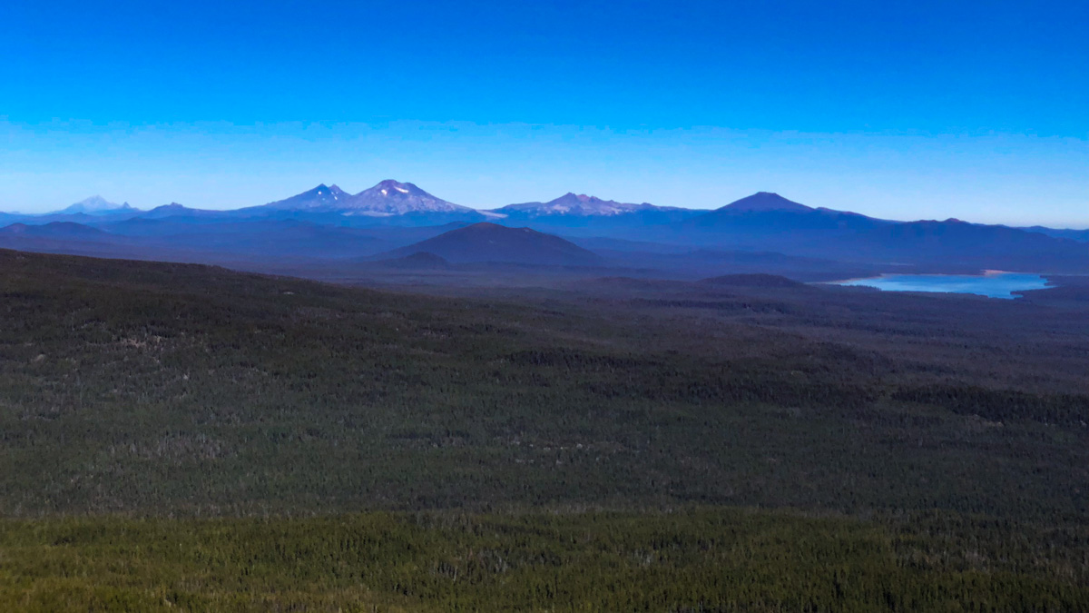
Hiking Maiden Peak in the Willamette National Forest
Maiden Peak Trail No. 3631
Challenging
12 mi
Out-and-back
12 mi
19.3 km
Distance
3,000 ft
914 m
Gain
7,805 ft
2,379 m
Summit
5-6 hours
Est. time
Maiden Peak Trail Map & Elevation Profile
Map of the route “Hiking Maiden Peak in the Willamette National Forest”: 13.12 mi, 6,565 ft of climbing and 6,611 ft of descent, elevation between 4,954 ft and 7,808 ft, time 06:49:58. It is a loop that starts and ends at 43.62574, -122.04656 (latitude, longitude).
The Maiden Peak Trail begins in the Willamette National Forest on Gold Lake Road, and climbs gradually and persistently to the 7,805′ high peak on the border with Deschutes National Forest. The trail is well-forested until very near the summit, and well-engineered and maintained. You will cross the Pacific Crest Trail, but the real pay-off is comes from the unusual lack of crowds and the amazing views.
This trail can hold snow well into July, but the grade is suitable for snowshoeing in the winter. Of course, the distance would be longer still, as Gold Lake Road will likely be closed in the winter months, but it is doable with proper gear and snow navigation skills.
Getting to Maiden Peak
The trailhead is roughly 73 miles from Bend, Oregon. Head south on Highway 97 for 47 miles, turning right at Crescent Road. Follow Crescent Cutoff Road for 12 miles, then turn right (west) on Highway 58. After about 11.5 miles, turn right onto NF-500 (aka Gold Lake Road). There is a gate on this road that may be closed in winter months. Follow this gravel road for 1.6 miles to a small trailhead parking area with room for about three cars. The parking area is on the left, and the trailhead is on the right. You can get turn-by-turn driving directions to the trailhead via Google Maps. There are no facilities at the trailhead or anywhere on this trail.
Hiking the Maiden Peak Trail
The trailhead sign informs you that Trail No. 3681 is open to hikers, bikers and horses. We saw mountain bike and boot tracks, but didn’t see any other people, bikes or horses on our entire hike–a pleasant surprise since so many of the trails get quite busy. No permits or passes are required to hike this until the Sno-Park opens.

For the first two miles, the trail follows the contour of the mountain, climbing very gradually. After you cross Skyline Creek, the climb gets a little more serious.
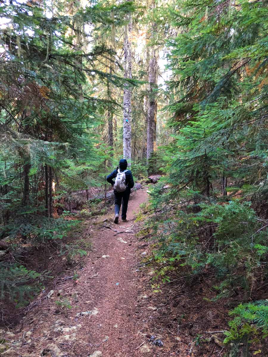
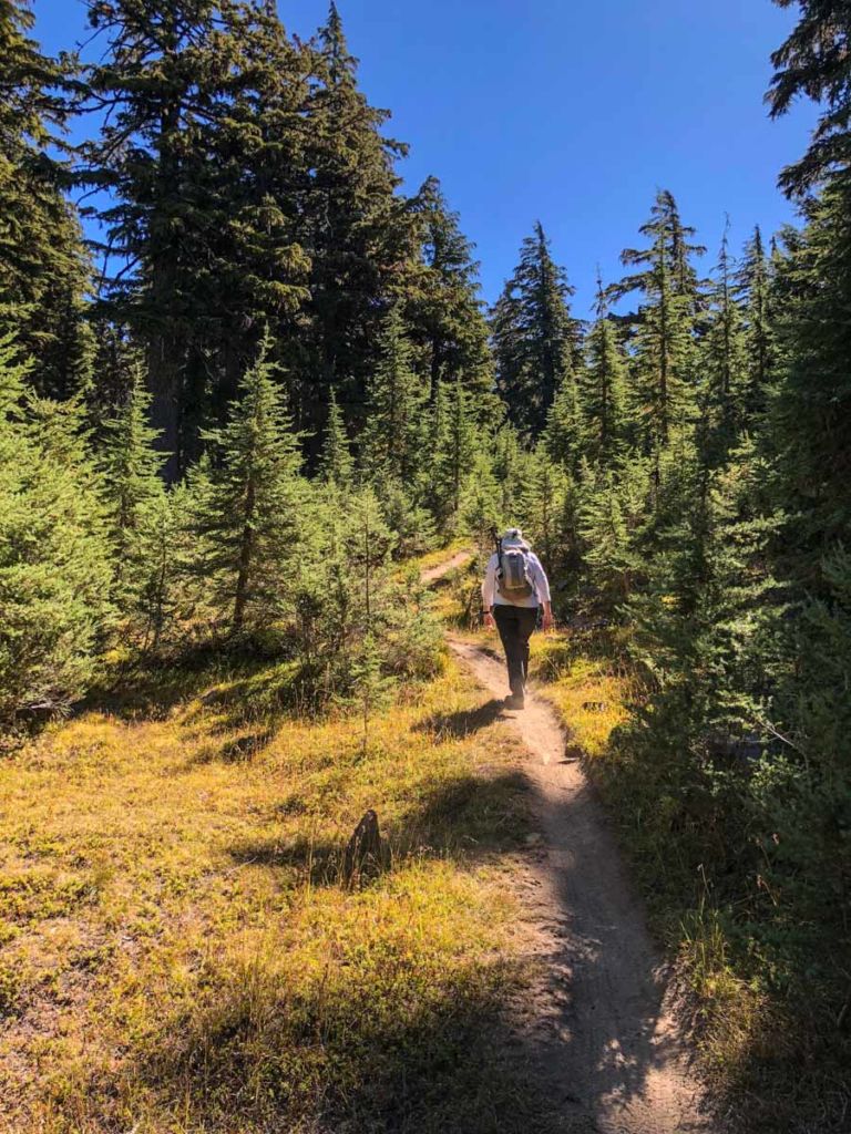
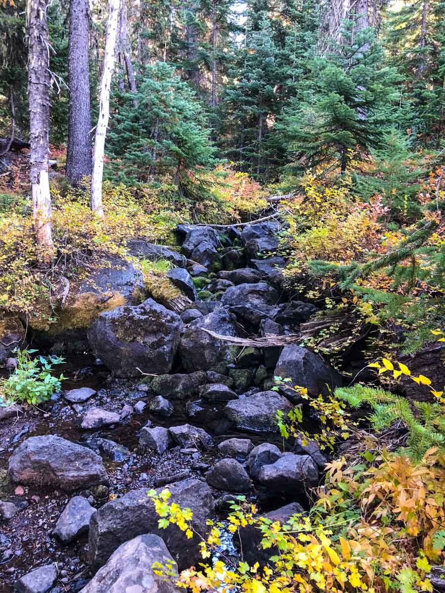
At very nearly the halfway point to the summit (about three miles in) you reach a junction with the Pacific Crest Trail. The signage is minimal, so check your bearings and make sure you are continuing in the right direction.

The trail continues through tall forest, only giving way to the lower, sparse white bark pines as you get about half a mile from the summit. Finally the views begin to open up around you.
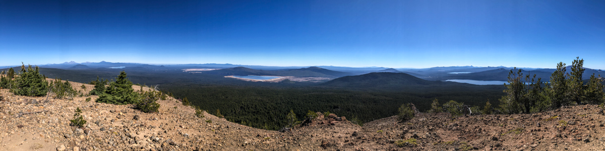
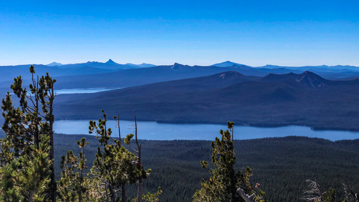
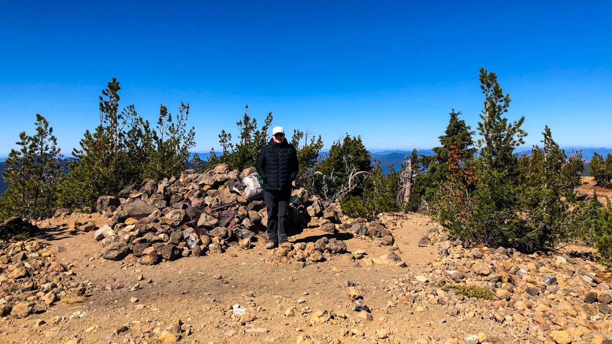
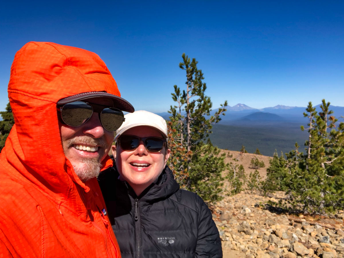
The summit is rocky and (when we hiked it) very windy. There is a rock pile at the summit (along with some rusted junk from yesteryear) and we were able to sit on the protected side to eat our lunch before turning around and heading back down.
The Maiden Peak Trail is in great condition. It’s a long hike, but the shady trail makes it a comfortable one. And the views were fantastic. I’d like to come back and try snowshoeing this on a bluebird winter day.
After the hike, we took a five mile detour west on Highway 58 to check out Salt Creek Falls. Well worth it, if you haven’t been there before.
Maiden Peak Tips & Resources
- Layer up! It can be cold and windy at the summit.
- Since you are in the area, be sure to stop by Salt Creek Falls after your hike. It’s only five miles further west on Highway 58, and it’s the second tallest waterfall in Oregon.
- Get turn-by-turn driving directions to the trailhead via Google Maps
- Book: This is hike #99 in William Sullivan’s 100 Hikes in the Central Oregon Cascades
- Forest Service description of the Maiden Peak Trail
- View Maiden Peak hike logs on SocialHiker.net
Maiden Peak Weather Forecast
Weather forecast
Temperatures adjusted to 7,805 ft
Mon
Nov 16
Snow
24° / 16°F
Tue
Nov 17
Fog
22° / 13°F
Wed
Nov 18
Heavy snow showers
24° / 10°F
Thu
Nov 19
Overcast
24° / 10°F
Fri
Nov 20
Fog
24° / 10°F
Weather data by Open-Meteo.com (CC BY 4.0)
For more a more detailed forecast for the summit, check mountain-forecast.com.
Central Oregon Six-Pack of Peaks Challenge
This hike is part of the Central Oregon Six-Pack of Peaks Challenge. This self-paced hiking challenge includes six hikes all easily reached from Bend and surrounding areas. They are a great way to explore the area, train for bigger adventures.
Originally hiked on September 24, 2018 with Joan. We didn’t see a single soul on the entire hike.

Jeff has hiked and explored trails for over 50 years, covering everything from casual canyon walks to rugged multi-day Sierra routes. He started SoCalHiker.net in 2010 to document the trails he loves — and to make it easier for others to discover them.
You must be logged in to post a comment.