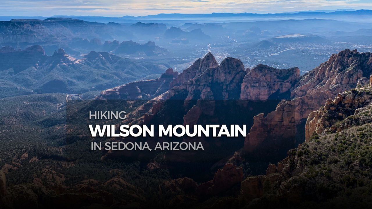
With one of the greatest overlooks in all Sedona, Wilson Mountain is a must for any Arizona hiker. This northern approach offers a cool shady canyon start and an up-close perspective of beautifully stratified red and beige rocks, before climbing onto the broad grassy mesa. Pack some snacks, plan to stay up top for a while, and fully appreciate the panoramic view.

Distance: 7.2 miles
Time: 4-5 hours
Difficulty: Moderately Strenuous
Elevation gain: 2,331′
Dogs: Yes
When to go: Spring, Summer, Fall
Getting to the Trailhead
From Sedona, go north on 89A. Continue 3.4 miles past Midgely Bridge. The trailhead is on the left side at the Encinoso Picnic Area. You will see a sign for the picnic area 200 ft. before the parking lot entrance.
From Flagstaff, take I-17 South to exit 337 for 89A South. At the traffic circle, take the first exit following the sign for Sedona, then at the second traffic circle take the third exit onto 89A toward Sedona. Continue 19.4 miles on 89A. The trailhead is on the right side at the Encinoso Picnic Area. You will see a sign come up for the picnic area 100 ft. before the parking lot entrance.
The parking spaces inside the gate are day-use only, since it’s for the picnic area. But, there are a few spots just outside the gate if you are hiking outside normal day-use hours. A Red Rock Pass is required for parking and can be purchased for $5 with credit/debit card from a vending machine in the parking lot. There are bathrooms at the trailhead, but no running water.

Hiking Wilson Mountain
Wilson Mountain has two main routes to the top. The North Wilson Trail is the cooler of the two, so it’s the preferred route in summer. To start the hike go to the north end of the parking lot, near the lot entrance, and you’ll find a path next to a wooden frame displaying a trail map.

A few yards beyond the map display, there’s a metal signpost that reads “TRAIL 123 NORTH WILSON”, confirming you are in the right place. The start is a little rocky, but not too steep. Around a tenth of a mile in you pass under a power line, then the views start to improve both ahead and behind.

As you reach the half mile mark, tree cover increases and you begin to enter a broad area between two ridges. You’ll start to notice evidence that this area burned back in the 2006 Brins fire. About ¾ of a mile in, the canyon becomes narrower, slightly steeper, and the trail starts to curve left toward the south end of the red rock face ahead.

There’s a dip across a narrow streambed, then in another tenth of a mile a larger dip switchbacking left to cross the streambed again. Around the one mile mark, there is a section that can be confusing – the trail makes an abrupt left for a small switchback around some trees and boulders. Don’t be tempted to go straight or right, by the worn sidepath. Less than a quarter mile further you will reach the first of three larger switchbacks, which accelerate your ascent to the next plane. You can track your upward progress using the colorful layers of the opposing rock wall for reference.

This section is followed by many tight steeper switchbacks which bring you up onto a large flat area referred to as the “First Bench” of Wilson Mountain. After about a half mile of travel along this “bench”, you’ll come to a three-way intersection. Turn right, following the sign arrow pointing to “WILSON MTN”.

Once you make the right turn, the trail heads uphill aiming just north of the peak. Half a mile from the junction you hit the first turn of a long switchback, then a quarter mile further you finish the switchback turning right and continuing up onto the mesa. A mix of trees returns, both standing and downed, as the trail curves gently left bringing you to the final saddle with another three-way intersection.

At this juncture go left, following the arrow pointing to “SEDONA OVERLOOK”. This is a good time to check that your socks are on tight, because the view ahead may knock them off. The trail rises up and over the highest elevation of the hike, but the real view is a quarter mile further at the plateau’s southern edge.
Be careful once you get to the rim, because it’s a precipitous drop to the bottom.

From the end of the trail you have spectacular views into Oak Creek Canyon and across Sedona. If you know where to look, you can see Midgely Bridge spanning Wilson Canyon.
Once you’ve filled your camera roll with enough pictures of the panorama, return down the way you came.

Wilson Mountain Trail Map & Elevation Profile
Wilson Mountain Resources
- A Red Rock Pass for parking is required and can be purchased at the trailhead vending
machine – $5 for the day or $15 for the week – More info on Red Rock Pass - Forest Service’s web pages with info on both trails used for this route:
Sedona Weather Forecast
[forecast width=”100%” location=”86336″]

Arizona Six-Pack of Peaks Challenge – Summer Edition
This hike is part of the Arizona Six-Pack of Peaks Challenge – Summer Edition. This self-paced hiking challenge includes six hikes all easily reached from the great Phoenix metropolitan area. They are a great way to explore the area, train for bigger adventures, and you’ll be doing good, with a portion of the net proceeds going to support Big City Mountaineers.
Registration for the summer challenge opens April 1st! Be sure to check out the winter challenge, too!


You must be logged in to post a comment.